
Top hiking destinations and famous trails
Top hiking destinations and famous trails
Famous trails for your next hiking trip
Hiking at its best is one of the most direct ways to engage with a landscape. The pace forces a relationship with terrain, weather and distance that faster forms of travel rarely allow and the physical effort involved tends to make the experience of arriving somewhere feel genuinely earned. The most memorable trails are those where the journey itself is as compelling as the destination at the end of it.
The trails and destinations here range from iconic long distance routes with established infrastructure to remote multi-day wilderness crossings that require serious preparation and self-sufficiency. Some are accessible to anyone with a reasonable level of fitness. Others demand technical experience, specialist equipment and careful planning around weather windows and permit requirements.
Preparation, timing and honest assessment of fitness and experience level are the foundations of a good hiking trip. The most common mistakes are underestimating elevation gain, arriving outside the optimal weather window and carrying either too much or too little. The destinations here cover a wide range of difficulty and terrain, with enough variety to suit first-time multi-day hikers and those with serious trail experience alike.
Lists by region
Worldwide (168)
Africa (23)
Asia (34)
Europe (57)
North America (43)
Oceania (11)
South America (14)
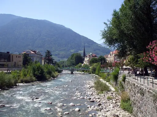
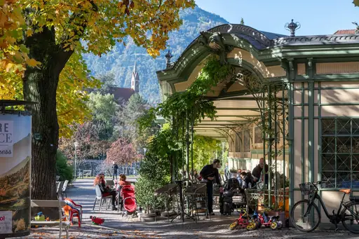
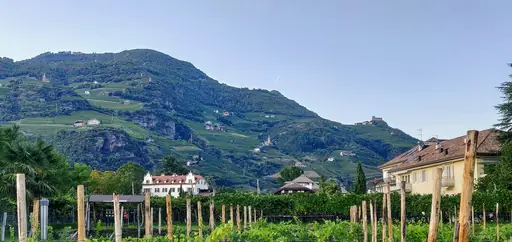
Region in Italy
South Tyrol
Alpine culture where worlds collide
The Alta Via 2 long-distance trail runs through the Dolomites for roughly 180 kilometres. It links a chain of mountain huts across jagged limestone peaks. Hikers cross high passes with views over pale rock towers and green valleys. Most people take two to three weeks to complete the full route.
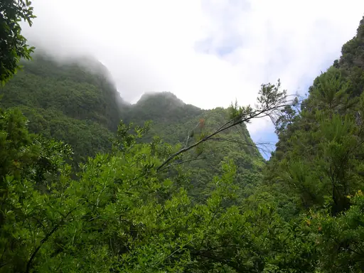
Island in Spain
La Palma
Volcanic beauty under starry skies
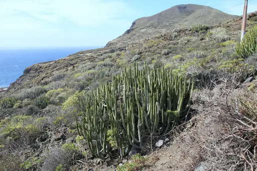
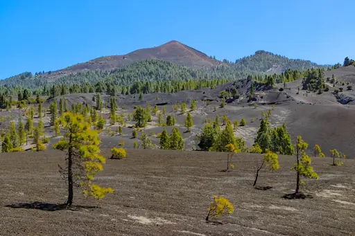
The Ruta de los Volcanes trail runs along the island's volcanic spine for about 20 kilometres. It links a chain of craters formed by past eruptions. Walkers cross black volcanic sand with views stretching to the Atlantic on both sides. Clear skies along the ridge also make it a favourite spot for stargazing.
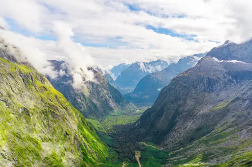
National Park in New Zealand
Fiordland National Park
New Zealand’s Wildest Water World
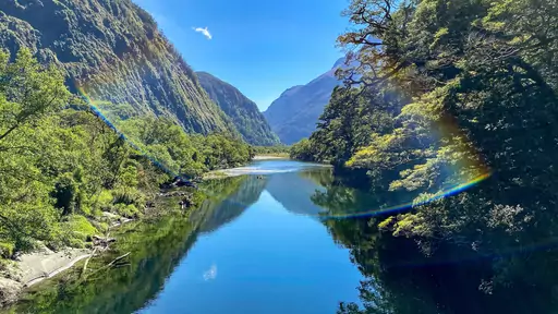
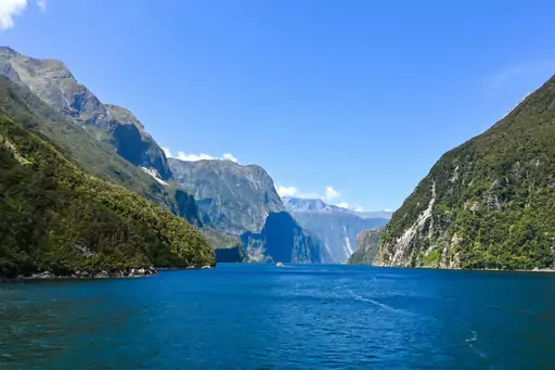
The Milford Track crosses this New Zealand park over four days through rainforest and alpine terrain. Hikers cross Mackinnon Pass before descending towards Milford Sound's dramatic fjord. Huts along the route require advance booking during the peak summer season. Waterfalls drop from cliffs lining much of the trail's final stretch.

Region in Iceland
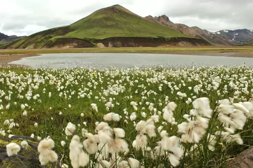
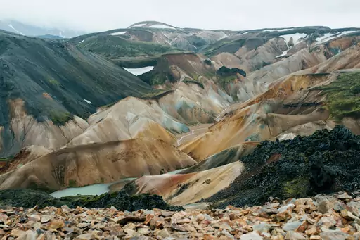
Landmannalaugar
Colorful mountains and natural pools
The Laugavegur trail begins here and runs roughly 55 kilometres to Thorsmork. Rhyolite mountains streaked in red, green and gold line much of the route. Hikers can soak in a natural warm spring right at the trailhead before setting off. Most groups split the full trek into four days with hut stops along the way.
Country
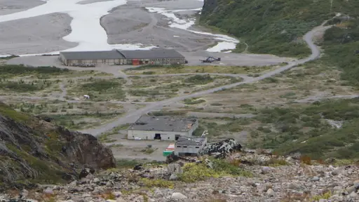
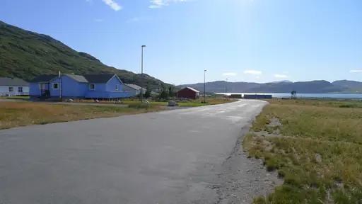
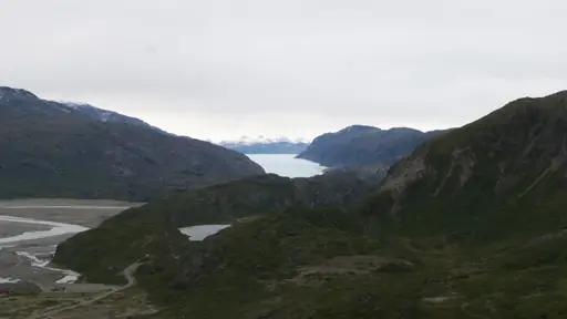
Greenland
Arctic wilderness with ice landscapes
The Arctic Circle Trail crosses roughly 100 miles of tundra between two remote settlements. Hikers camp each night since no roads or villages interrupt the multi-day route. Reindeer and musk oxen sometimes appear along the trail's open, treeless terrain. The route typically takes seasoned hikers around a week to complete.
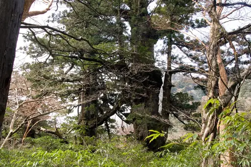
Island in Japan
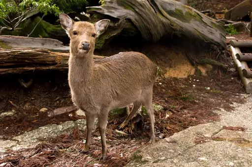
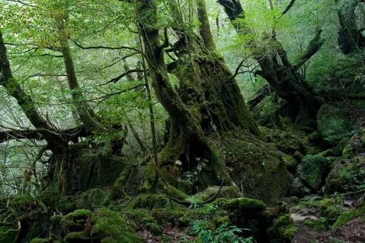
Yakushima
Ancient cedars, mossy forest and waterfalls
Moss-covered forest trails lead to Jomon Sugi, a cedar tree estimated to be thousands of years old. The path winds past twisted roots and boulders draped in green. Hikers cross wooden walkways over streams on the way to the tree. The round trip can take up to ten hours depending on the route chosen.
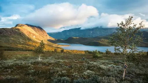
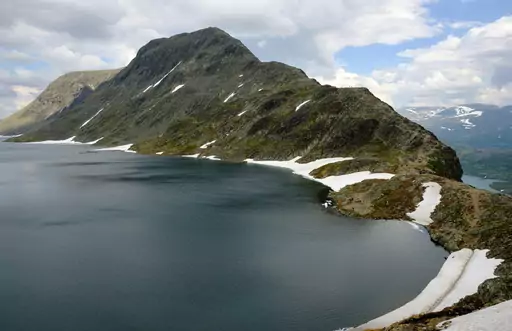
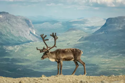
National Park in Norway
Jotunheimen
Home of giants and glaciers
The Besseggen ridge trail runs between two lakes of different colours, Bessvatnet and Gjende. One lake sits turquoise, the other a deep blue, separated by a narrow rocky spine. Hikers cross the ridge with both lakes visible on either side at once. The full route takes most walkers six to eight hours to complete.
Mountain in China
Huangshan
Mystical Peaks and Ancient Villages
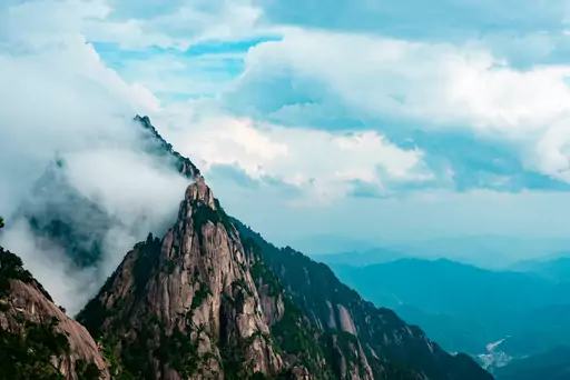
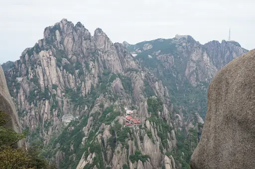
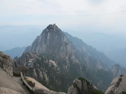
Stone stairways carved into this Chinese mountain's cliffs have guided hikers for centuries. Pine trees growing directly from rock crevices have inspired painters for generations. Hikers can climb before dawn to watch a sea of clouds fill the valleys below. Cable cars offer an option for descending after a long day on the stairs.
Village in Switzerland
Grindelwald
A Majestic Swiss Mountain Village
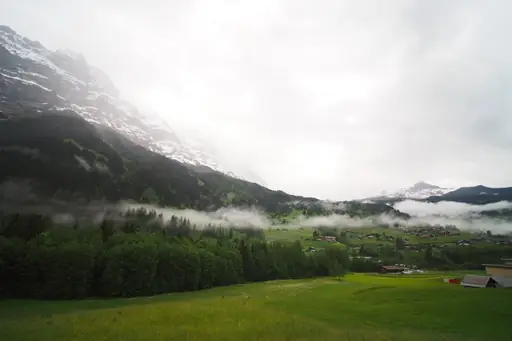
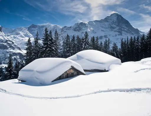
A metal platform juts out from a rock face on First mountain above this Swiss valley. Hikers can continue towards the Eiger Trail beneath the mountain's dramatic north face. Rockfall from above is a known hazard along parts of the trail. Views extend across the valley towards the Wetterhorn and surrounding peaks.

National Park in United States
Grand Canyon National Park
Epic Vistas, Timeless Adventure
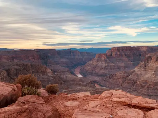
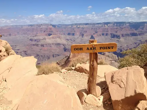
The Bright Angel Trail descends nearly 4,400 feet from the South Rim to the Colorado River. Switchbacks cut into red rock pass two rest houses with seasonal water stops. Hikers are warned not to attempt a rim-to-river-to-rim trip in a single day. Mule trains share parts of the trail with hikers heading down.
Town in Georgia
Stepantsminda
Breathtaking Peaks and Ancient Churches
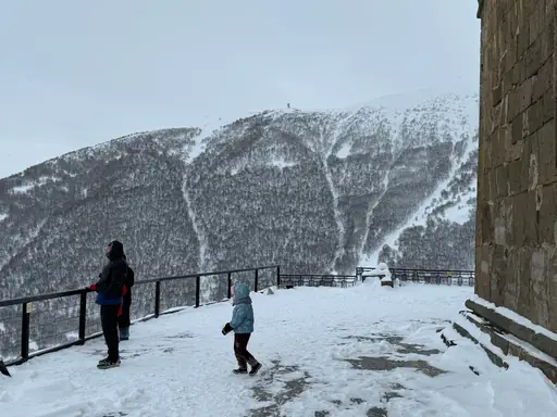
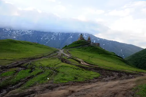
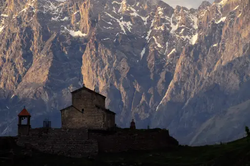
A trail climbs to Gergeti Trinity Church, perched at 2,170 metres below Mount Kazbek. The church sits alone on a hillside with the glaciated peak rising behind it. Hikers can continue further towards the Gergeti Glacier on a longer route. The village below sits along the Georgian Military Highway near the Russian border.
National Park in United Kingdom
Snowdonia National Park
Mythic Peaks and Wild Welsh Beauty
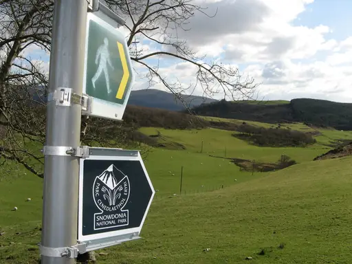
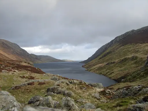
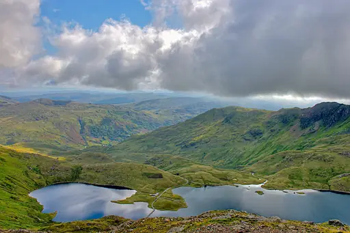
The Pyg Track and Miners Track both climb to the summit of Snowdon, the highest peak in Wales. They meet near the top after passing old copper mine ruins and a glacial lake. Hikers reach the 1,085-metre summit where a small railway also arrives. Clear days offer views stretching as far as Ireland.
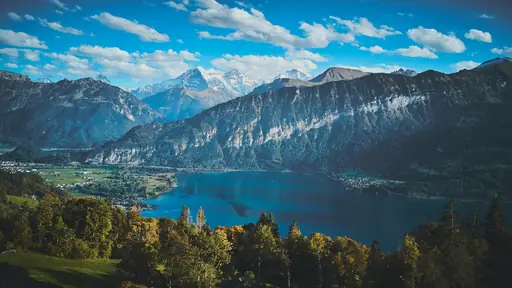
Town in Switzerland
Interlaken
Adventure, Lakes and Alpine Magic
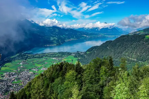
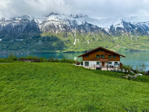
Trails up Harder Kulm climb steeply above this Swiss town between two lakes. Hikers can also ride a cograilway to Schynige Platte for wider alpine meadow walks. Views from both viewpoints stretch towards the Eiger, Monch and Jungfrau peaks. Paragliders often launch from nearby ridges visible along several trails.
National Park in Japan
Chūbu-Sangaku National Park
Northern Alps peaks, snow walls and onsen
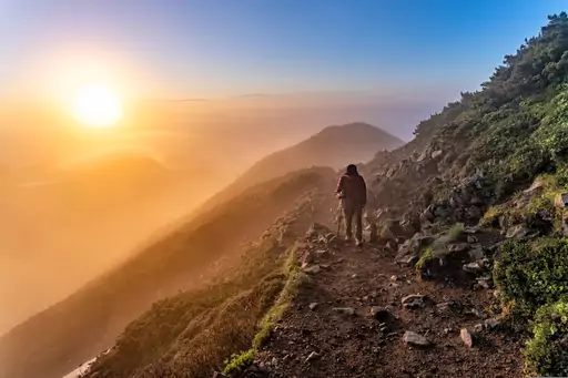
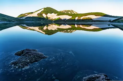
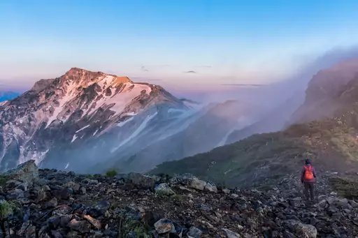
The Kurobe Gorge area holds trails that climb towards Tateyama's volcanic peaks. A famous snow corridor along the Tateyama route can reach walls over 60 feet high in spring. Hikers pass alpine ponds and steaming vents at higher elevations. The Tateyama Kurobe Alpine Route combines cable cars, buses and trails through the range.
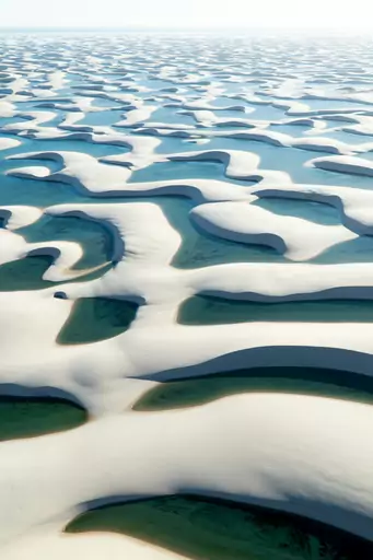
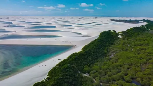
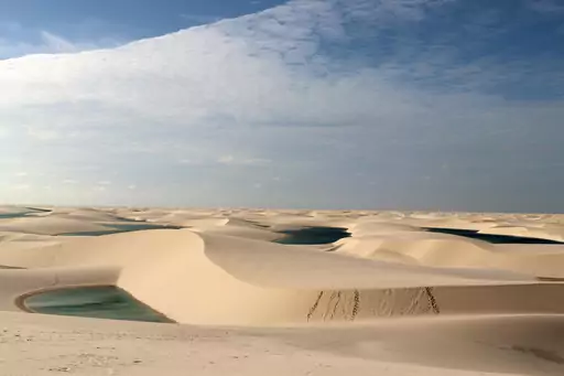
National Park in Brazil
Lençóis Maranhenses National Park
Otherworldly dunes with turquoise lagoons
Guided treks here cross white sand dunes that shift shape with the wind. Rainwater collects between the dunes each year, forming clear turquoise lagoons. Walkers can swim in these pools between June and September, when they're fullest. Sunrise and sunset hikes are popular, since the sand cools once the sun dips.
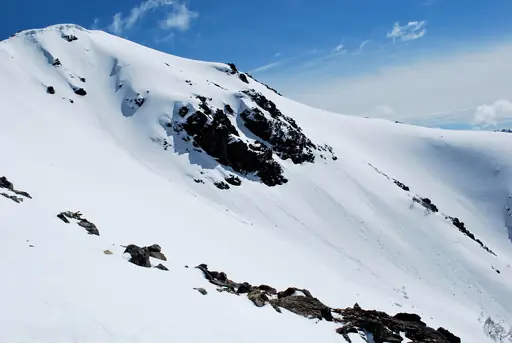
City in Argentina
San Carlos de Bariloche
Argentina’s Alpine Wonderland
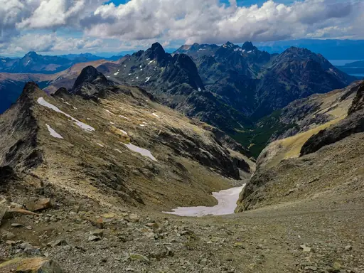
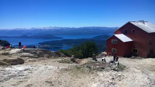
A trail near Cerro Catedral climbs to the Refugio Frey, a mountain hut beside a small lake. Granite spires rise around the hut, drawing climbers as well as hikers. Walkers can day-hike up and back or stay overnight before continuing further into the range. The approach takes most people about four hours each way.
National Park in Slovenia
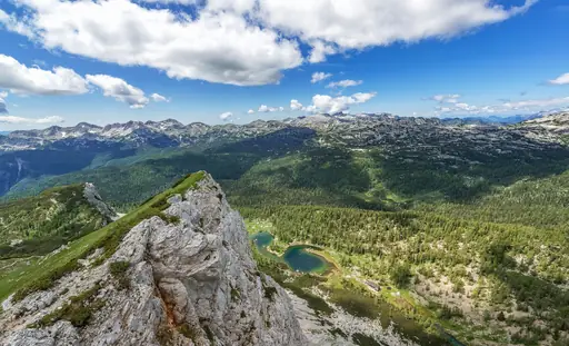
Triglav National Park
Slovenia’s Natural Beauty
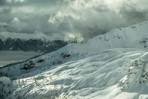
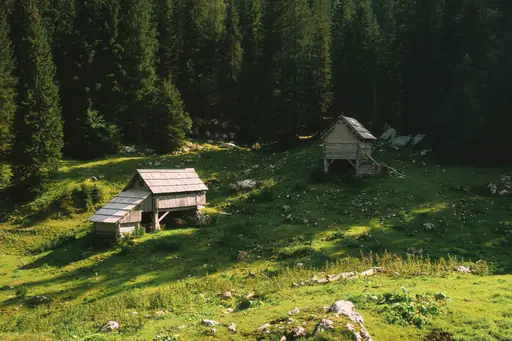
A trail leads to the summit of Mount Triglav, Slovenia's highest peak at 2,864 metres. The final stretch uses fixed cables and iron rungs bolted into the rock. Climbers often stay in mountain huts to split the ascent over two days. Reaching the top is considered a rite of passage for many Slovenians.
City in China
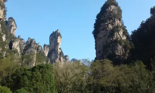
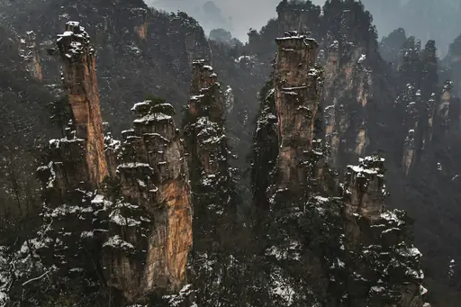
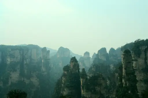
Zhangjiajie
Avatar's Floating Mountains Come Alive
A glass-bottomed skywalk and lift here rise alongside a cliff face over 300 metres tall. Tianmen Mountain's 999 steps climb to a natural rock arch known as Heaven's Gate. Hikers can also take a cable car partway up to shorten the ascent. The steep stone stairway has become one of the region's most photographed hikes.
Island in Canada
Vancouver Island
Untamed Beauty and Coastal Charm
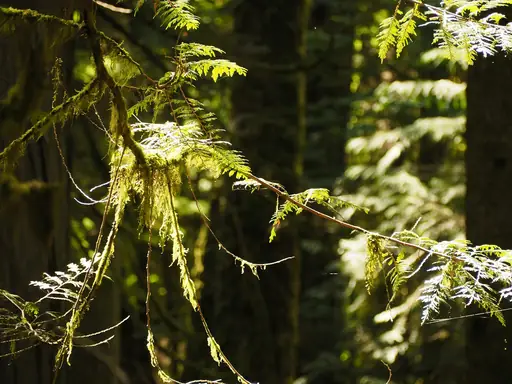
The West Coast Trail runs 75 kilometres along a rugged, often muddy stretch of Pacific shoreline. Hikers cross cable cars and ladders over steep gullies cut into the coast. The route follows an old telegraph line built after shipwrecks in the area. Most groups take six to seven days to finish the full trail.

National Park in Spain
Picos de Europa National Park
Jagged Peaks, Deep Gorges, Wild Spain
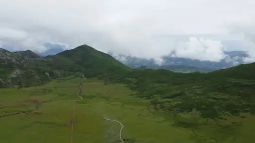
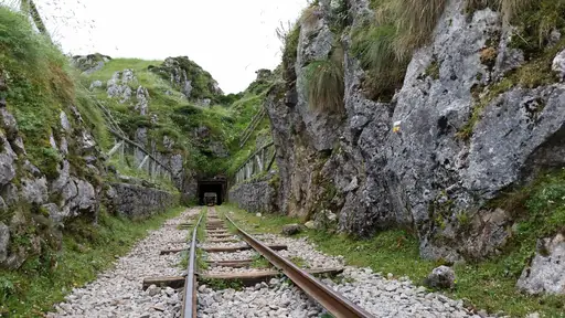
The Ruta del Cares cuts through an eleven-mile limestone gorge between two mountain villages. The path was carved into the cliff face to build a hydroelectric channel decades ago. Hikers walk narrow ledges with the Cares River rushing far below. Tunnels blasted through solid rock connect several stretches of the trail.
National Park in United States
Sequoia and Kings Canyon National Parks
Home of the Giant Sequoias
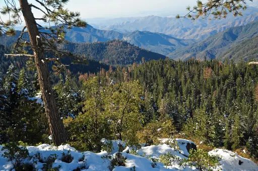
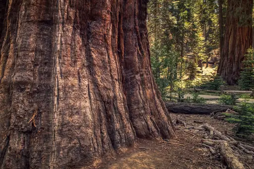
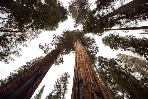
The trail to Mount Whitney's summit climbs over 6,000 feet across roughly 11 miles. It passes alpine lakes and switchbacks before reaching the highest point in the lower 48 states. Permits are limited and often booked months ahead through a lottery. Most hikers complete the climb and return in a single long day.
Town in Germany
Garmisch-Partenkirchen
Alpine Paradise with Bavarian Charm
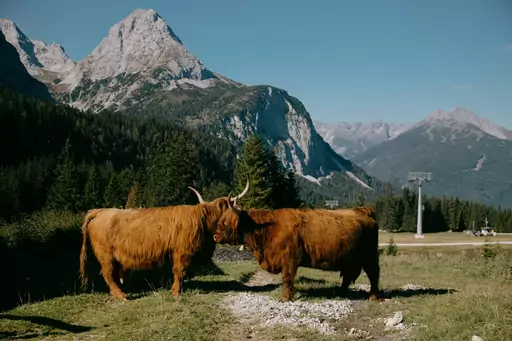
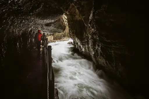
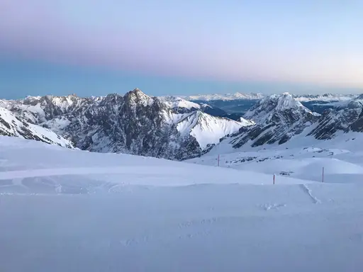
Trails from this German town lead into Partnach Gorge, carved by glacial meltwater. Wooden walkways and tunnels let hikers walk beside the churning river below. This town also serves as the main trailhead for climbing routes up the Zugspitze. Cable cars offer a shortcut for those skipping the steepest sections.
City in Nepal
Pokhara
Lakeside Calm, Himalayan Adventure Gateway
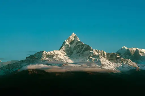
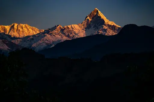
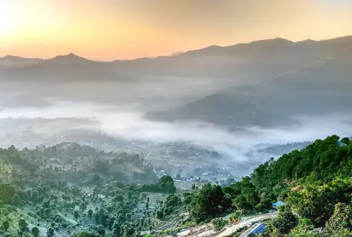
This lakeside city is the starting point for the Annapurna Base Camp trek. A shorter, popular option climbs to Poon Hill for sunrise views over the range. From there, walkers can see Annapurna South, Machapuchare and Dhaulagiri from one ridge. Most Poon Hill treks take three to four days round trip.
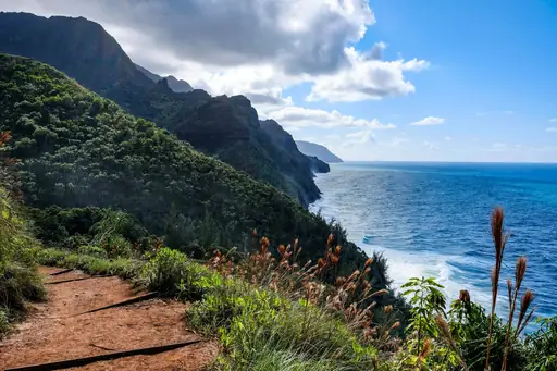
Island in United States
Kauai
Lush Landscapes and Secluded Beaches
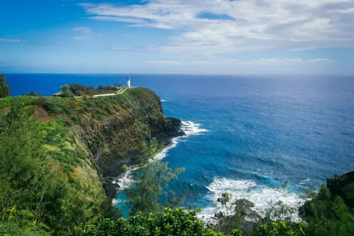
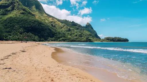
The Kalalau Trail runs eleven miles along the cliffs of the Na Pali Coast. It passes waterfalls and narrow ridgelines on its way to a series of hidden beaches. Hikers need a permit to camp overnight at Kalalau Beach at the trail's end. A shorter two-mile stretch to Hanakapiai Beach still offers sweeping ocean views.
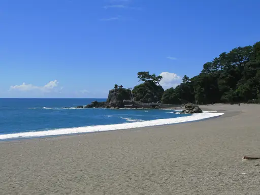
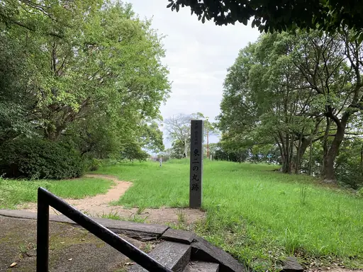
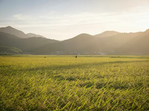
Island in Japan
Shikoku
Pilgrimage trail, gorges and hot springs
An 88-temple pilgrimage trail circles the entire island, covering roughly 1,200 kilometres. Pilgrims, known as henro, often wear white and carry a walking stick. Walkers can complete short sections or the full route, which traditionally takes about six weeks. Temples along the way stamp a pilgrim's book as proof of each visit.
State/Prefecture in United States
Washington (State)
Diverse landscapes from mountains to coast
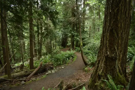
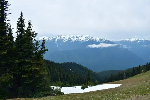
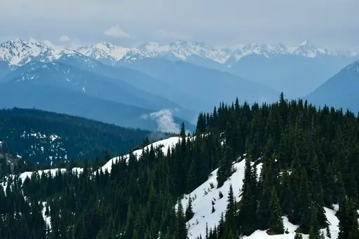
The Enchantments trail climbs through a chain of alpine lakes in the Cascade Range. Larch trees turn gold along the upper basin each October. Hikers need a competitive permit to camp overnight in the core zone. Most day hikers instead do a long, single push through the full traverse.
Lake in Russia
Lake Baikal
World's deepest lake, Siberia's jewel
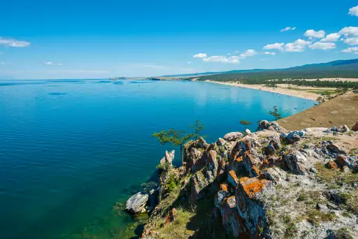
The Great Baikal Trail is a volunteer-built path that follows part of the world's deepest lake's shore. Sections wind through taiga forest with views across the water to distant mountains. Hikers can walk short day sections or join multi-day stretches near Listvyanka. In winter, some sections are walked over the lake's frozen surface instead.
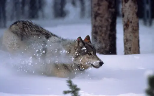
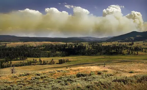
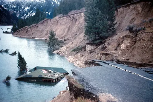
National Park in United States
Yellowstone National Park
Geysers, wildlife and untamed wilderness
The trail to Uncle Tom's Trail descends steep metal stairs into the Grand Canyon of the Yellowstone. It passes close to the Lower Falls, which drop nearly twice the height of Niagara. Hikers can also reach backcountry geyser basins on longer, less crowded routes. Wildlife sightings, including bison and elk, are common near the trailheads.
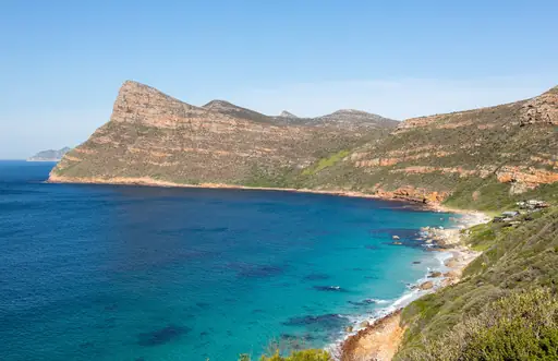
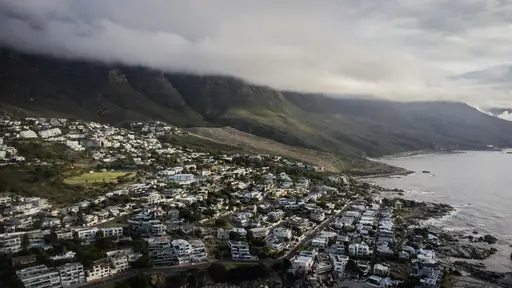
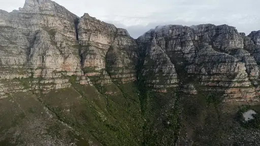
National Park in South Africa
Table Mountain National Park
Epic views and wild landscapes
The Platteklip Gorge trail climbs straight up a rocky ravine to the top of Table Mountain. It gains nearly 700 metres over nine hundred metres of distance, making it a steep, direct route. Hikers reach the flat summit with views over Cape Town and the Atlantic. Most people take two to three hours going up.
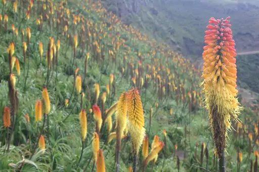
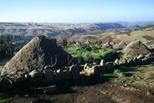
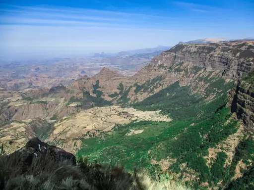
National Park in Ethiopia
Simien National Park
Jagged peaks of ancient wilderness
Multi-day treks here cross escarpments that drop over 1,000 metres into the valleys below. Ras Dashen, Ethiopia's highest peak, is a common goal for longer routes. Walkers regularly encounter troops of gelada baboons grazing on the grassy plateaus. Most treks use mules to carry gear between camps each night.
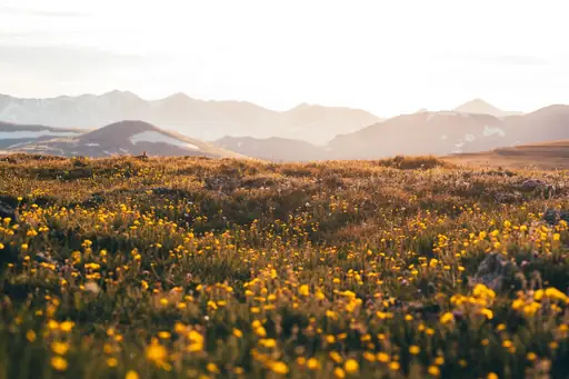
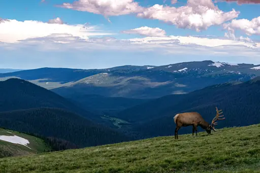
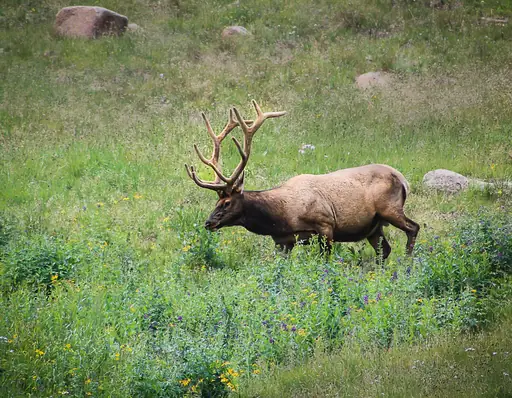
National Park in United States
Rocky Mountain National Park
Majestic Peaks and Untamed Wilderness
The trail up Longs Peak climbs to a summit above 14,000 feet. Most hikers start before dawn to cross an exposed section called the Narrows in daylight. The Keyhole Route is the most common path to the top. Bear Lake offers shorter, easier trails for those not aiming for the summit.
Town in New Zealand
Wanaka
Alpine Adventure, Lakeside Serenity
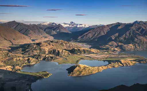
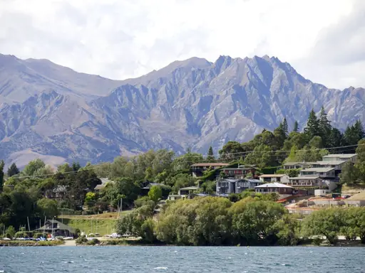
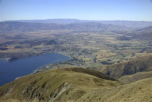
The trail up Roys Peak climbs steeply to a ridge overlooking Lake Wanaka. Switchbacks cover most of the ascent before opening onto wide alpine views. Hikers reach a summit at 1,578 metres, with the lake spread out far below. The round trip typically takes five to six hours.
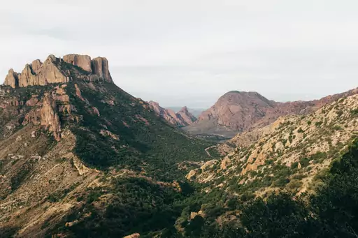
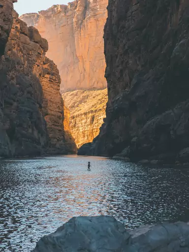
National Park in United States
Big Bend National Park
Majestic canyons, star‑filled desert skies
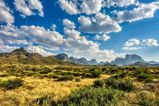
The South Rim Trail in this Texas park climbs through desert terrain to sweeping canyon views. Hikers can look out over the Chihuahuan Desert stretching towards Mexico below. The full loop covers around 12 to 14 miles depending on the route chosen. Chisos Basin serves as the trailhead for most hikes into the high country.
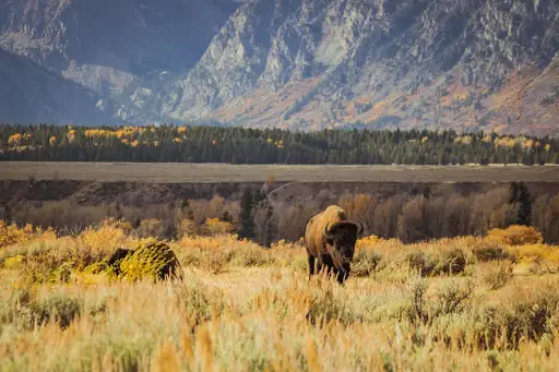
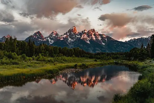
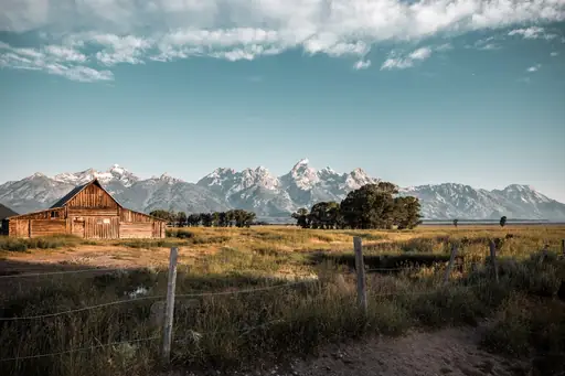
National Park in United States
Grand Teton National Park
Stunning Peaks and Wildlife Wonders
The Cascade Canyon trail climbs past a glacial lake towards jagged Wyoming peaks. Hikers can spot moose browsing willows along the canyon's forested lower stretches. The trail continues to Lake Solitude for those wanting a longer, higher route. Granite spires tower directly above much of the trail's upper section.
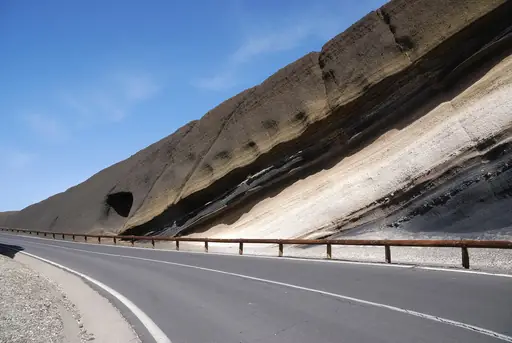
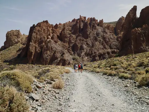
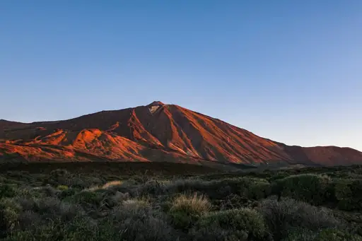
National Park in Spain
Teide National Park
Mars-Like Landscapes and Epic Views
A cable car lifts hikers most of the way up Mount Teide, Spain's highest peak at 3,715 metres. A short trail from the top station leads to the summit crater. Permits are required for the final stretch and often book out weeks ahead. Volcanic rock in shades of red and black covers the upper slopes.

National Park in United States
Denali National Park
Wild Alaska’s peaks and wildlife
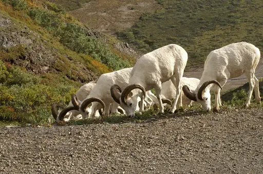
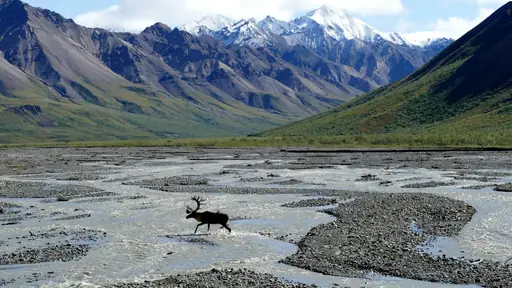
Most of this Alaskan park has no maintained trails, leaving hikers to navigate open tundra. Rangers brief backcountry visitors on river crossings and grizzly bear safety before permits are issued. Hikers can choose their own route across braided rivers and rolling hills. North America's tallest peak looms over the wilderness on clear days.
Region in Nepal
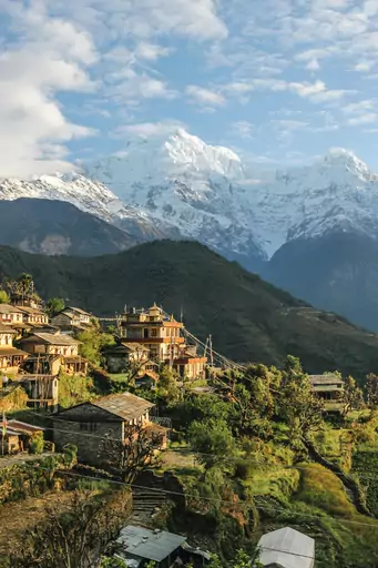
Annapurna
Legendary Trekking in Himalayan Diversity
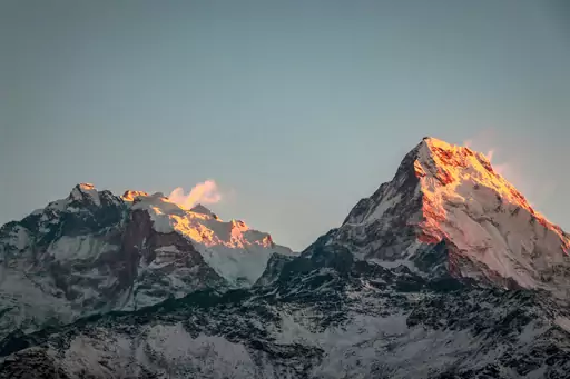
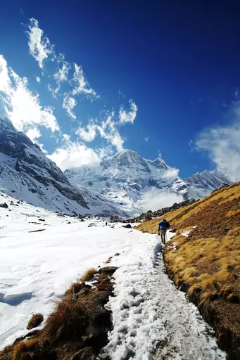
The Annapurna Circuit winds through Nepal's Himalaya for roughly two to three weeks of trekking. Trekkers cross the Thorong La pass at over 5,400 metres, the route's highest point. The trail passes through villages, forests and high desert terrain along the way. Views of Annapurna and Dhaulagiri peaks appear at nearly every turn.

Country
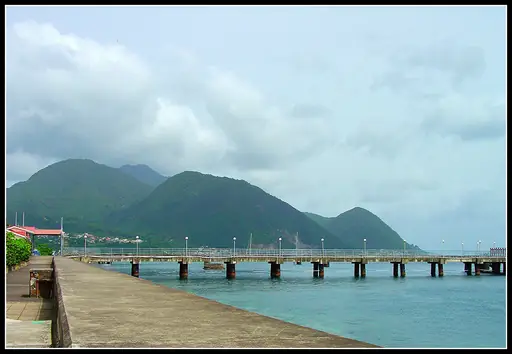
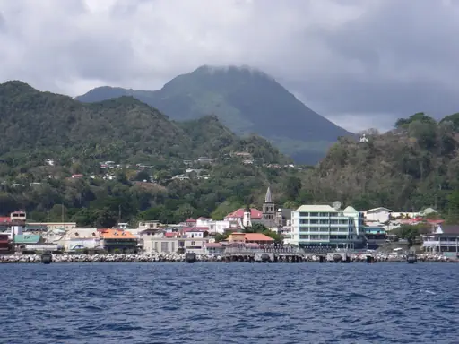
Dominica
Nature island with pristine rainforests
The Boiling Lake trail leads hikers through this Caribbean island's Valley of Desolation. Steam vents hiss along the path before reaching a lake of bubbling grey water. The Waitukubuli National Trail crosses the entire island in fourteen connected segments. Rainforest and volcanic terrain make the hiking here unusually varied for the region.
Town in Argentina
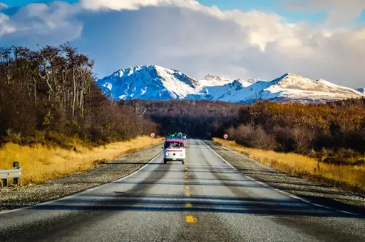
Ushuaia
End of the World Adventures
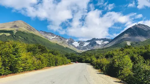
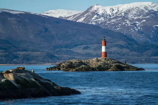
The trail to Laguna Esmeralda winds through peat bogs and lenga forest outside the city. It ends at a glacial lake fed by melting ice from the Martial range. Hikers pass beaver dams built by animals introduced here decades ago. The round trip takes most people about three hours.
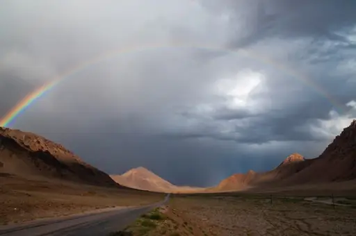
Mountain in Tajikistan
Pamir Mountains
The Remote Roof of the World
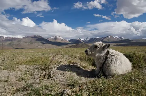
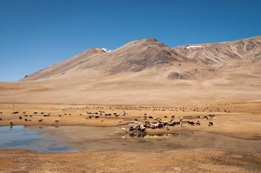
The Pamir Highway winds through some of the highest terrain in Central Asia. Side trails branch off into valleys near Lake Karakul, a high-altitude lake ringed by peaks. Trekkers pass small Tajik and Kyrgyz settlements along the route. Many hikes here sit above 4,000 metres, so altitude sickness is a real risk.
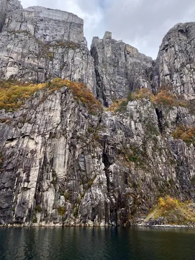
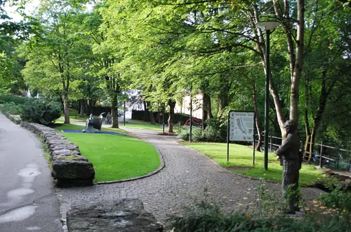
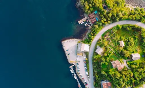
City in Norway
Stavanger
Fjords, Street Art & Nordic Charm
Preikestolen (Pulpit Rock) rises 604 metres above the Lysefjord on a flat granite plateau. The trail climbs steadily over rock and boardwalk for about four kilometres each way. Hikers reach the cliff edge with sheer drops down to the water. Most complete the round trip in four to five hours.
City in France
Chamonix-Mont-Blanc
Alpine thrills beneath Mont Blanc
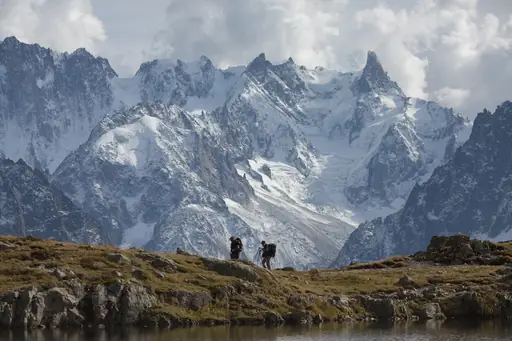
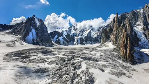
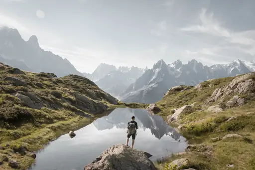
The Tour du Mont Blanc circles this peak across France, Italy and Switzerland over roughly two weeks. Hikers gain and lose thousands of metres crossing multiple mountain passes along the route. Mountain refuges spaced along the trail offer meals and beds each night. Glaciers and jagged summits remain visible for much of the circuit.
Town in Argentina
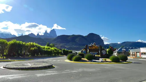
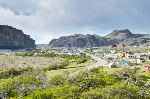
El Chalten
Hiking Capital of Argentina
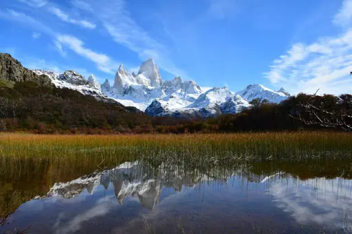
The Laguna de los Tres trail climbs towards a lake beneath Mount Fitz Roy's jagged spires. This Argentine trailhead town markets itself as the country's trekking capital. Hikers can complete the round trip in a single long day from town. Strong Patagonian winds can make exposed sections of the trail difficult to walk.
National Park in Namibia
Sossusvlei
Towering red dunes meet white clay
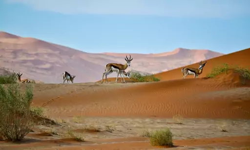
Big Daddy, one of the tallest dunes on Earth at over 325 metres, rises above this clay pan. Climbers follow its narrow ridge before descending straight down the steep face. From the top, hikers look out over Deadvlei's white floor and dead acacia trees. The dune takes most people an hour or more to climb.
Country
Rwanda
Land of a thousand hills
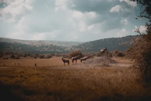
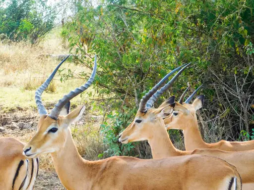
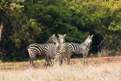
Guided treks through Volcanoes National Park lead hikers into bamboo forest to track mountain gorillas. Rangers follow paths that shift daily based on where the gorillas last moved. Trekkers can spend up to an hour observing a family group once found. A separate hike climbs Mount Bisoke to its crater lake.
Valley in Austria
Ötztal
Majestic alpine valley with crystal lakes
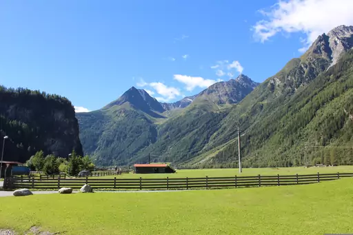
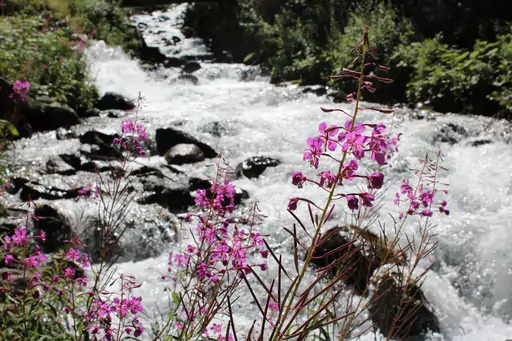
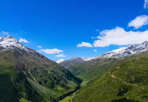
A mummified body known as Otzi the Iceman was found here in 1991, melting out of a glacier. The discovery site sits near the Tisenjoch pass above 3,200 metres. Hikers can follow trails through the same high alpine terrain today. The valley also holds the Stubai and Otztal Alps, both popular for hut treks.
Country
Papua New Guinea
Last paradise of South Pacific
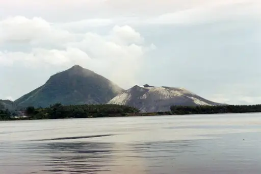
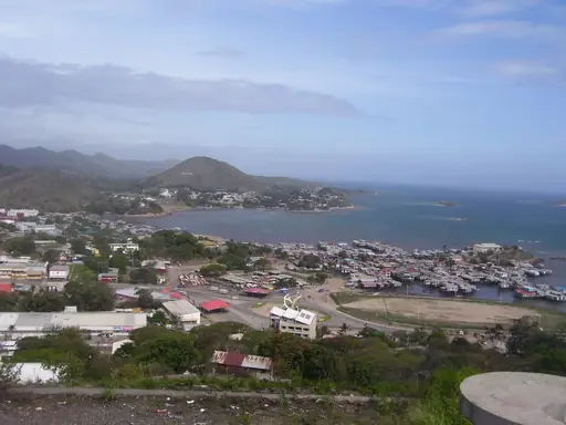
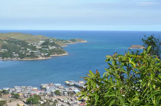
The Kokoda Track cuts through 96 kilometres of dense jungle and steep mountain terrain. It follows the path of a 1942 battle fought along the same ridgelines. Trekkers cross rivers on log bridges and climb through humid, mud-slicked passes. Most groups take eight to ten days to complete the full route.
National Park in New Zealand
Mount Cook National Park
New Zealand’s alpine wonderland
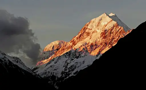
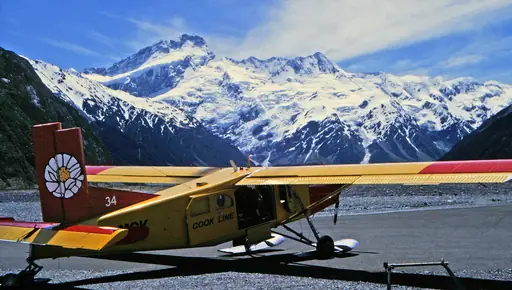
The Hooker Valley Track leads hikers across swing bridges towards a glacier-fed lake. Icebergs sometimes drift across the lake's surface beneath New Zealand's tallest peak. Hikers can complete the round trip in a few hours without technical climbing skill. Aoraki's snow-capped summit dominates the view for nearly the entire route.
Island in Portugal
Madeira
Dramatic Cliffs and Eternal Spring
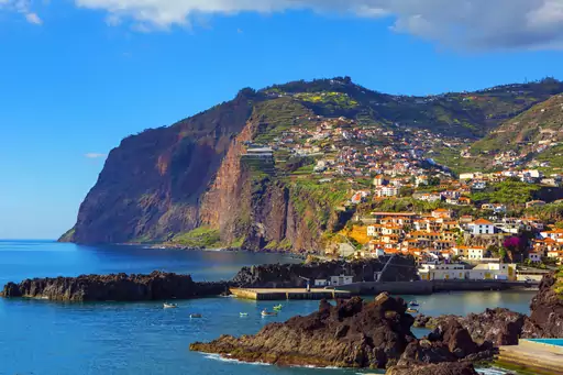
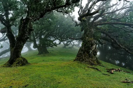
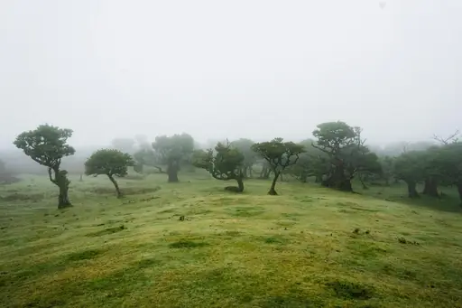
Centuries-old irrigation channels called levadas thread across the island and double as walking paths. Many follow narrow ledges cut into cliffs above deep, green valleys. Walkers pass waterfalls and laurel forest that dates back millions of years. The Levada do Caldeirao Verde is one of the most popular routes for a half-day hike.
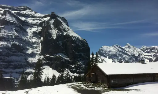
Village in Switzerland
Wengen
Car-Free Alpine Bliss and Epic Views
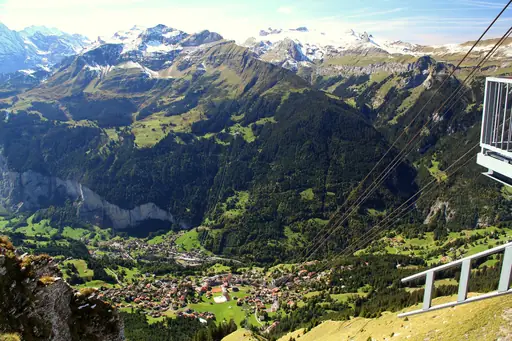
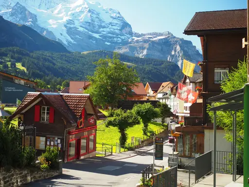
A trail along the Mannlichen ridge offers views of the Eiger, Monch and Jungfrau peaks. The route runs mostly flat after a cable car lifts hikers to the starting point. Walkers can continue down towards Kleine Scheidegg on marked paths. The full ridge walk takes most people about two hours.
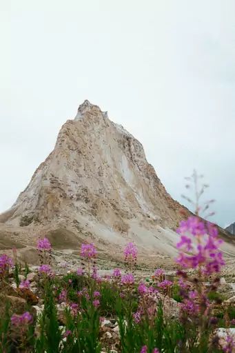
Region in India
Zanskar
Hidden Himalayan Buddhist wilderness frontier
The Chadar Trek follows the frozen Zanskar River during the coldest months of winter. Trekkers walk directly on river ice, sometimes crossing sections that shift underfoot. The route connects remote villages that are otherwise cut off by snow. Temperatures can drop below negative 20 degrees Celsius along the route.
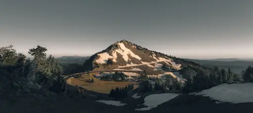
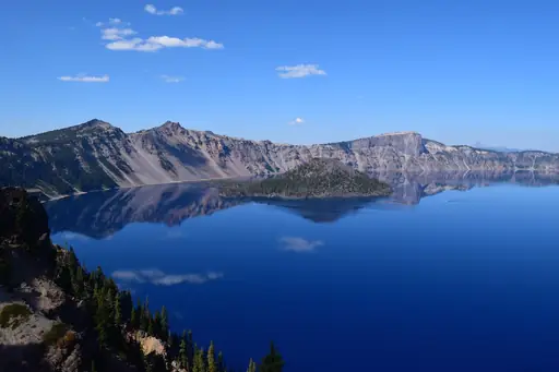
State/Prefecture in United States
Oregon
Diverse Landscapes and Outdoor Wonders
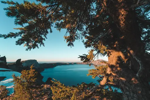
A rim trail circles Crater Lake, formed when Mount Mazama collapsed thousands of years ago. Sections of the Pacific Crest Trail also run along the lake's western edge. Hikers get views down to some of the clearest, bluest water in the country. Wizard Island, a smaller volcanic cone, rises from the lake's surface.
Island in Spain
Tenerife
Volcanoes, Beaches and Endless Sun
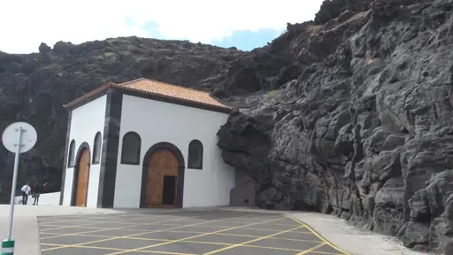
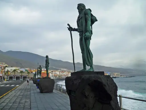
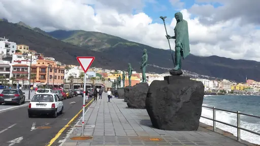
The Anaga Rural Park holds a network of trails through ancient laurel forest. Thick moss and twisted branches cover much of the canopy along the ridgelines. Hikers pass small hamlets reachable only on foot in parts of the park. Clouds often roll through the treetops, giving the forest a misty, prehistoric feel.

State/Prefecture in United States
Montana
Wild Beauty & Vast Big Skies
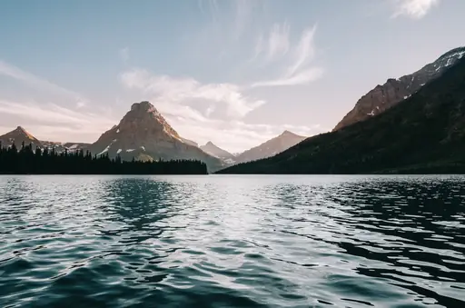
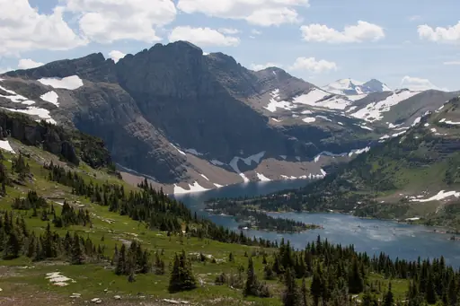
The Highline Trail in Glacier National Park runs along a ledge cut into the Garden Wall. A steel cable bolted to the rock helps hikers across the narrowest stretch. Walkers often spot mountain goats and bighorn sheep grazing on the slopes above. The trail ends near the Grinnell Glacier overlook after about 12 miles.
National Park in Spain
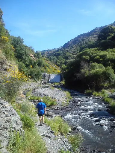
Sierra Nevada National Park
Spain’s Rooftop of Sun and Snow
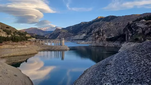
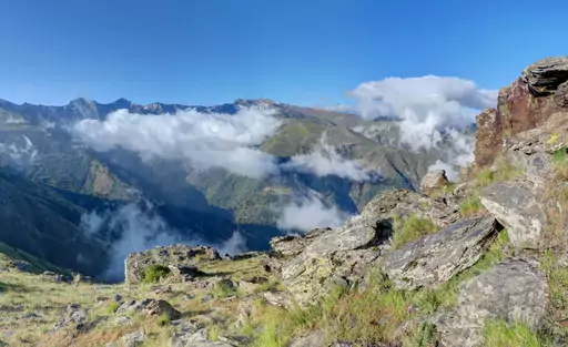
A trail climbs Mulhacen, the highest peak on mainland Spain at 3,479 metres. Routes typically start from a high mountain refuge to shorten the final ascent. Hikers cross rocky, exposed terrain above the tree line for much of the climb. On clear days, the Sierra Nevada's northern slopes stay snow-covered into early summer.
National Park in Argentina
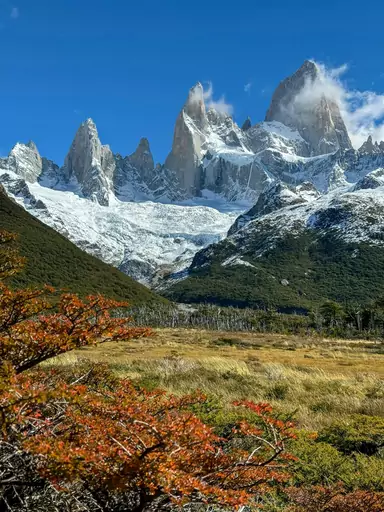
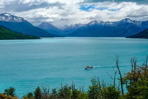
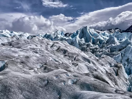
Los Glaciares National Park
Where glaciers meet towering peaks
The trail to Laguna de los Tres climbs towards the base of Mount Fitz Roy. It passes through lenga forest before opening onto a steep final stretch. Hikers reach a glacial lake with the jagged granite peak reflected in the water. The round trip usually takes most of a full day.
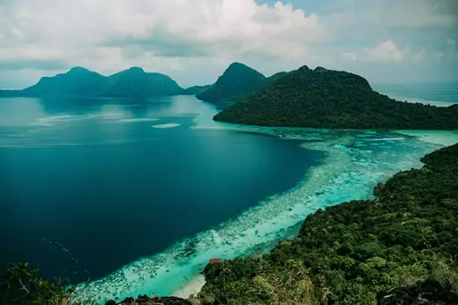
Island
Borneo
Wild rainforests meet unique wildlife
Climbers ascend Mount Kinabalu over two days, camping partway up this granite peak. Ropes assist hikers across smooth rock slabs near the summit's exposed final stretch. The climb passes through several distinct vegetation zones as elevation increases. Sunrise from the summit often reveals clouds settled in the valleys far below.

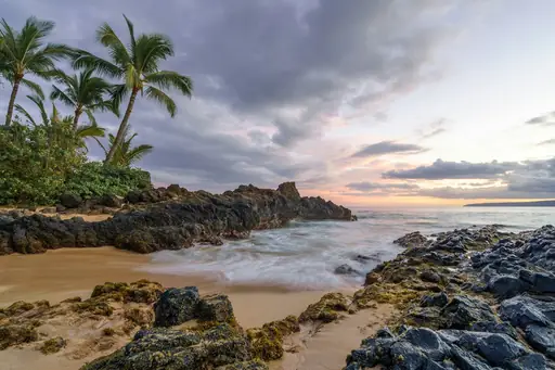
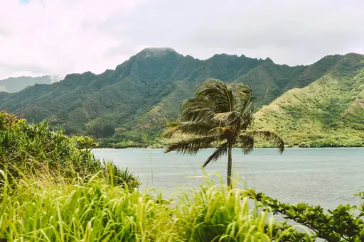
Island in United States
Maui
Island of Sun, Surf and Serenity
The Pipiwai Trail near Hana climbs through a forest of towering bamboo. It passes Makahiku Falls before reaching the taller Waimoku Falls at the trail's end. Hikers cross a boardwalk where the bamboo grows thick enough to block out the sun. The full round trip covers about four miles.
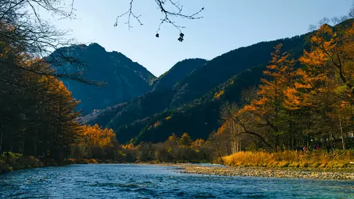
National Park in Japan
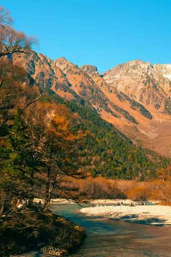
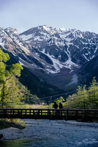
Kamikochi
Clear river valley beneath the Hotaka Range
A red suspension bridge called Kappabashi marks the start of trails into the valley. The Azusa River runs clear and turquoise beneath the peaks of the Hotaka range. Walkers follow flat riverside paths with views of snow-capped ridgelines above. Cars are banned here, so the valley stays quiet even in peak season.
State/Prefecture in United States
Utah
Nature's dramatic red rock playground
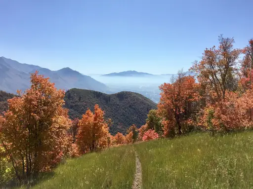
Angels Landing in Zion National Park climbs a narrow sandstone ridge using chains bolted into the rock. Drop-offs fall away steeply on both sides of the final approach. Hikers who complete the climb get a view straight down into Zion Canyon. A permit lottery now controls how many people can attempt it each day.
City in Canada
Whistler
Alpine Adventure, Epic Views, Year-Round Fun
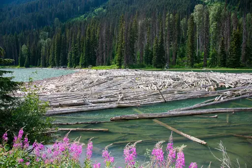
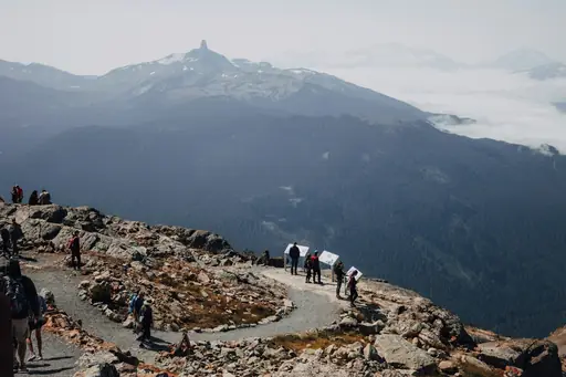
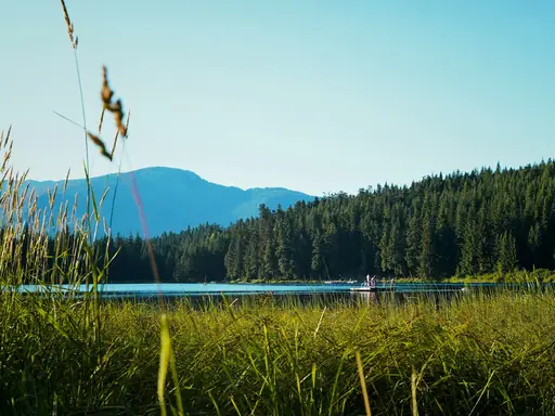
The High Note Trail runs along a ridge above Whistler's alpine lifts with views over Cheakamus Lake. Wildflower meadows line much of the path in midsummer. Hikers can combine it with the Half Note Trail for a longer loop. A gondola ride up from the village shortens the climb considerably.
Town in United Kingdom
Portree
Colorful Harbour in the Scottish Highlands
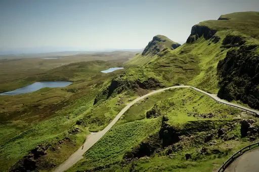
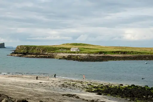
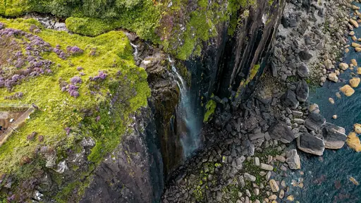
A trail leads up to the Old Man of Storr, a jagged rock pinnacle on Skye. It formed from an ancient landslide that left behind a cluster of basalt towers. Walkers climb through forest before reaching open moorland near the summit. The rock has appeared in several films shot on the island.
National Park in United States
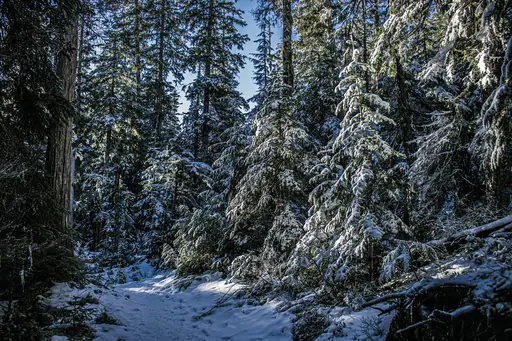
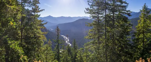
Mount Rainier National Park
A Majestic Volcano and Wild Beauty
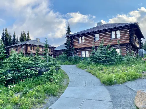
The Wonderland Trail circles the entire mountain over about 93 miles. It crosses river valleys, old-growth forest and wildflower meadows at different points. Hikers get close views of glaciers that feed several rivers on the mountain's flanks. Most groups take between 10 and 14 days to finish the full loop.
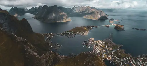
Village in Norway
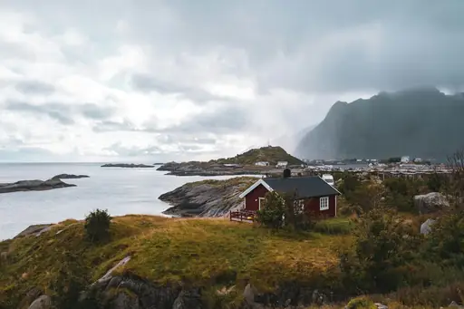
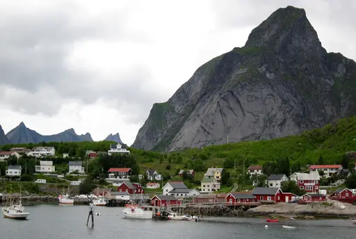
Reine
Lofoten’s Iconic Fjord Village
A steep trail climbs Reinebringen for one of the most photographed views in Lofoten. A separate route leads over the mountains to Kvalvika, a beach reachable only on foot. Hikers cross open moorland before dropping down to the secluded shoreline. Ryten, a nearby peak, offers a similar coastal viewpoint above the beach.

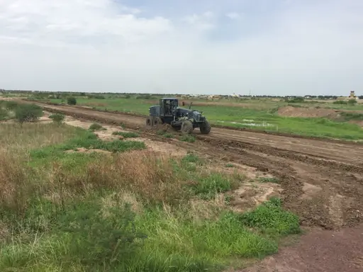
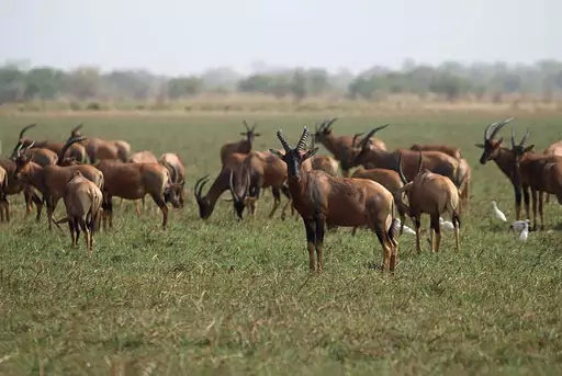
Country
Chad
Land of diverse climate zones
Trekkers explore the Ennedi Plateau's sandstone canyons and rock arches on multi-day desert routes. Ancient rock paintings found in caves here depict scenes thousands of years old. Hikers can camp beneath arches carved by wind and water over millennia. Guides are required to navigate this remote, sparsely mapped region safely.
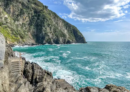
Village in Italy
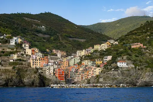
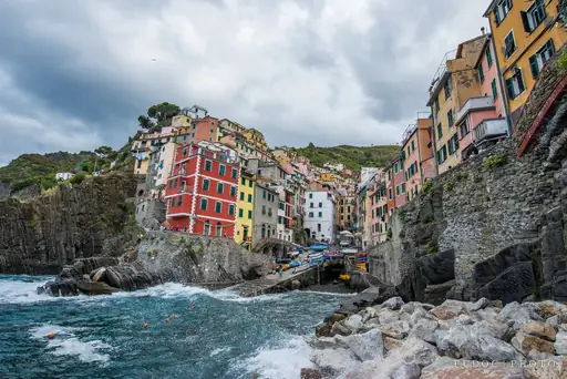
Riomaggiore
Pastel Cliffs Meet Azure Sea
The Sentiero Azzurro coastal path links Riomaggiore to the other Cinque Terre villages. Sections cling to cliffs above the Ligurian Sea with views back over terraced vineyards. Walkers pass small chapels and lookout points along the trail. Parts of the path close after storms, so conditions can vary by season.
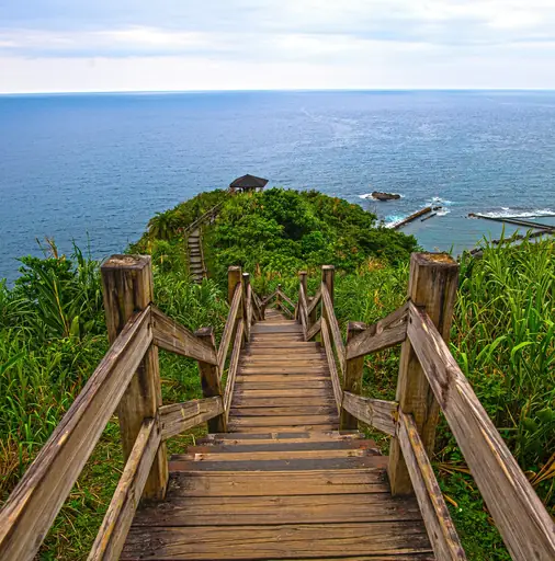
City in Taiwan
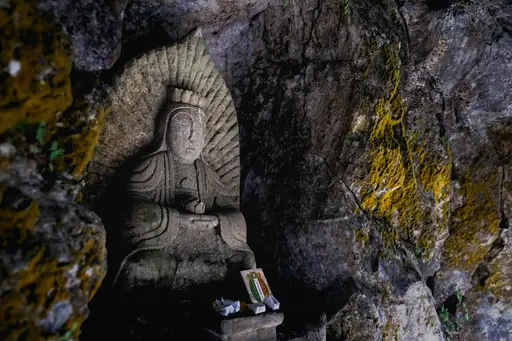
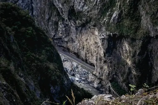
Hualien
Gateway to Taroko’s Marble Wonders
Trails through Taroko Gorge near this Taiwanese city cut between sheer marble cliffs. Hikers can walk the Shakadang Trail beside a river carved through the pale rock. Tunnels blasted through the mountainside once served road construction workers decades ago. Suspension bridges cross the gorge at several points along the main trail.
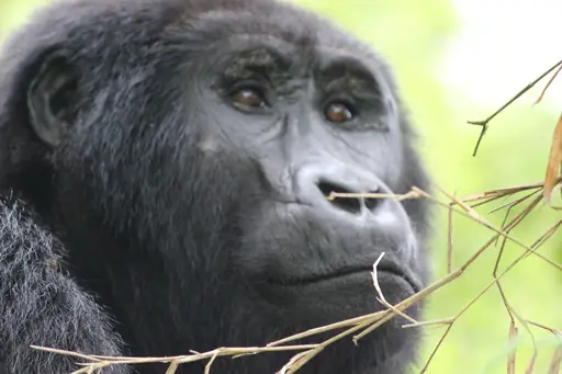
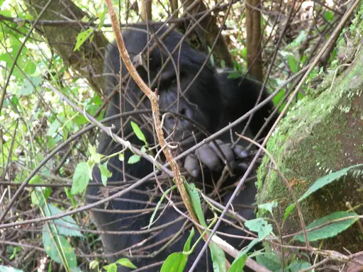
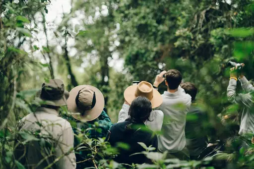
National Park in Uganda
Bwindi Impenetrable National Park
Gorilla Encounters in Ancient Forest
Trackers guide small groups through dense forest here searching for mountain gorillas. Hikers can spend hours climbing steep, muddy terrain before locating a gorilla family. This Ugandan park protects roughly half the world's remaining mountain gorilla population. Permits limit group sizes to reduce stress on the animals being observed.
National Park in United States
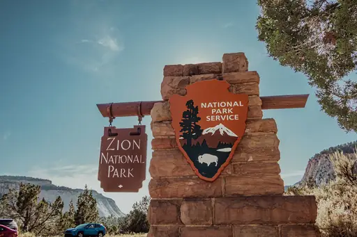
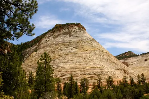
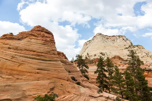
Zion National Park
Red rocks, epic hikes and nature's beauty
Angels Landing climbs a narrow sandstone spine using chains bolted into the rock for support. The final half mile drops away steeply on both sides of the trail. Hikers who reach the top look straight down into Zion Canyon below. A permit system now limits how many people can attempt the climb each day.



National Park in Turkey
Göreme National Park
Fairy chimneys and cave wonders
Trails through Rose Valley and Red Valley wind past fairy chimneys carved from soft volcanic rock. Early morning walks often coincide with dozens of hot air balloons drifting overhead. Hikers pass small cave churches cut directly into the cliffs. The valleys turn a deep red and pink colour at sunset, giving them their names.
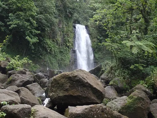
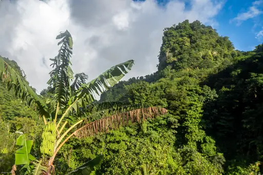
National Park in Dominica
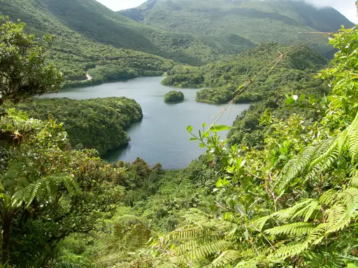
Morne Trois Pitons National Park
Volcanic wonders in pristine rainforest
The trail to Boiling Lake crosses a section called the Valley of Desolation, filled with steaming vents. The lake itself is a flooded fumarole that bubbles with volcanic heat. Hikers cross ridges and streams over roughly eight hours round trip. A local guide is strongly recommended given the shifting terrain near the vents.
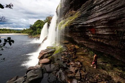
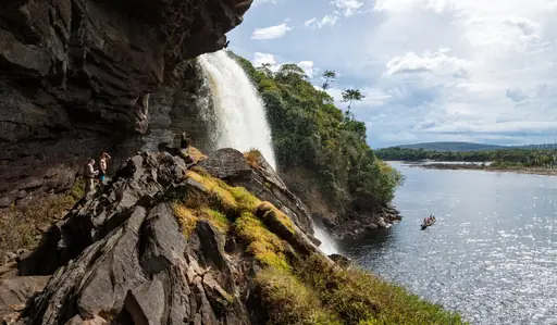
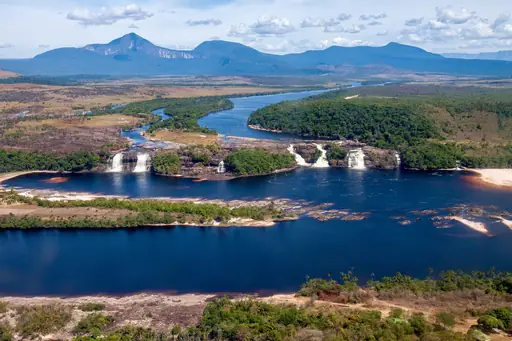
National Park in Venezuela
Canaima National Park
Tepui Peaks and Angel Falls Wonder
Multi-day treks here lead to the base of Angel Falls, the world's tallest waterfall. Hikers travel partly by dugout canoe before continuing on foot through Venezuelan jungle. The falls drop nearly a kilometre from a flat-topped mountain called a tepui. Mist from the falling water reaches hikers standing at the base far below.
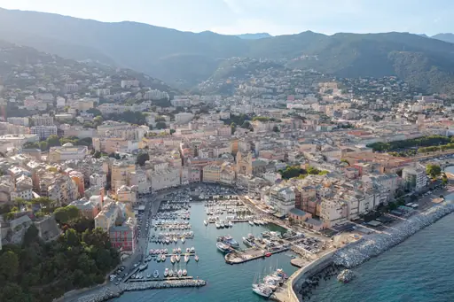
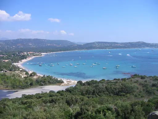
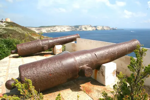
Island in France
Corsica
Island of Beauty and Contrast
The GR20 crosses this French island's mountainous spine over roughly two demanding weeks. Hikers scramble across exposed granite ridges and descend into forested valleys along the route. Many consider it among Europe's most physically challenging long-distance trails. Refuges spaced a day's walk apart offer basic shelter each night.
Lake in Canada
Lake Louise
Turquoise Gem of the Canadian Rockies
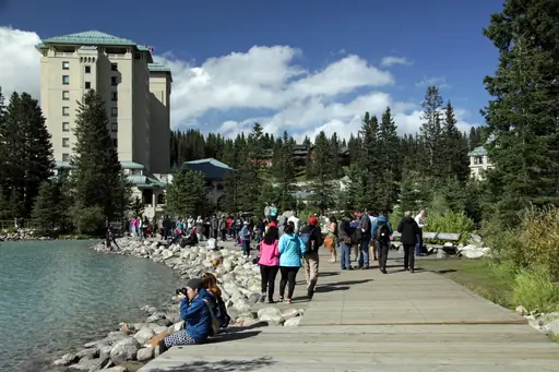
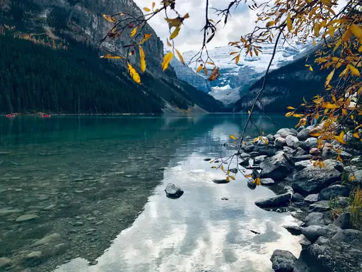
The Plain of Six Glaciers trail climbs from the lake towards a teahouse built in 1927. The path passes below Victoria Glacier before reaching the log-cabin teahouse. Hikers can stop for tea and baked goods before continuing to a viewpoint. The round trip covers roughly 14 kilometres depending on how far you go.
City in Malaysia
Kota Kinabalu
Gateway to Borneo’s wild beauty
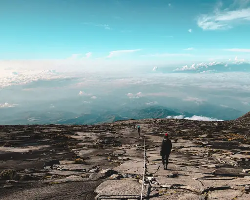
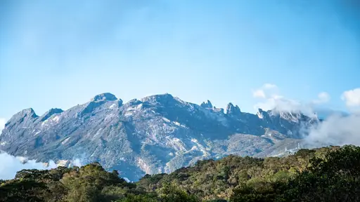
Mount Kinabalu rises 4,095 metres and is one of Southeast Asia's tallest peaks. Climbers usually split the ascent over two days with an overnight stop partway up. Those who reach Low's Peak at sunrise watch the sky turn orange over Borneo. The mountain sits inside Kinabalu Park, a UNESCO World Heritage Site.
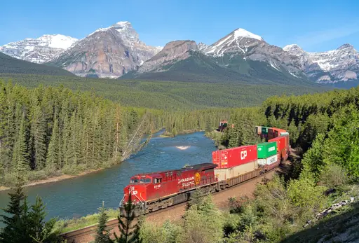
National Park in Canada
Banff National Park
Majestic Peaks and Turquoise Lakes
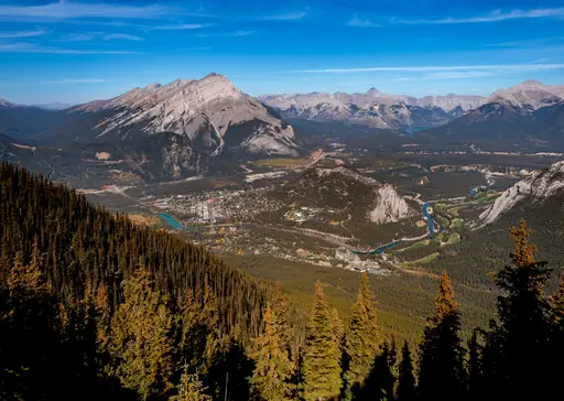
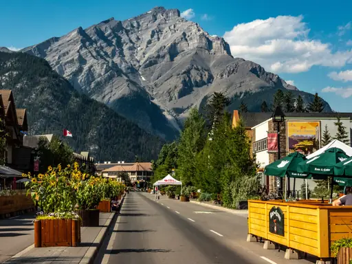
Trails up Sulphur Mountain climb through forest before opening onto wide alpine views. Hikers can also walk Johnston Canyon's catwalks past waterfalls carved into limestone rock. Bow Valley trails wind between turquoise lakes and towering peaks throughout the park. Wildlife including elk and bighorn sheep often appear along quieter backcountry routes.
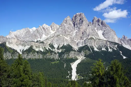
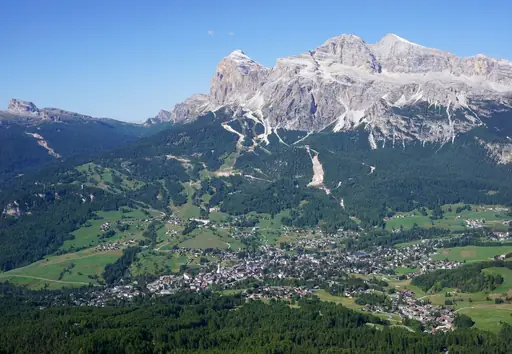
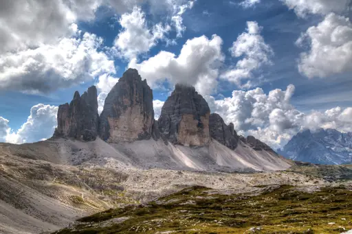
National Park in Italy
Dolomites National Park
Towering peaks and pristine wilderness
The Tre Cime di Lavaredo loop circles three distinctive rock towers over about ten kilometres. The trail passes World War One-era trenches carved into the mountainside. Hikers get close views of the towers from several different angles along the way. Refuge huts near the start offer food partway through the loop.
Village in Switzerland
Andermatt
Alpine Adventure Awaits You
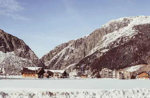
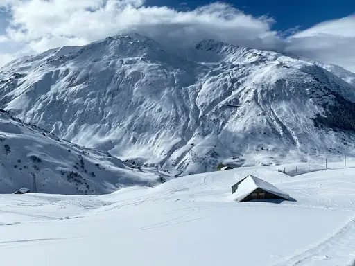
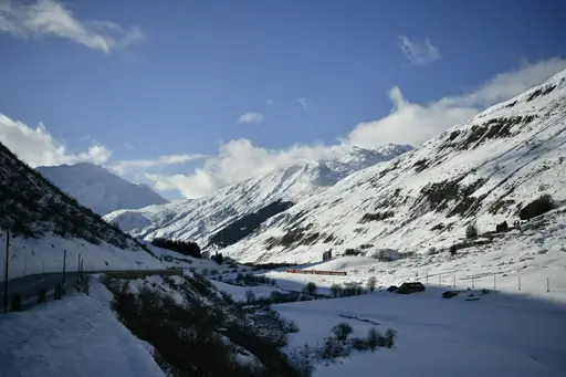
Trails climb from this Swiss village towards the historic Gotthard Pass route. Hikers can follow paths once used by traders crossing the Alps for centuries. Alpine meadows here sit surrounded by peaks reaching above 3,000 metres. A network of trails links Andermatt to neighbouring valleys across several mountain passes.
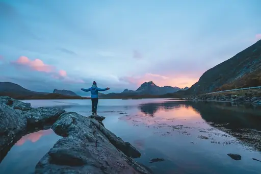
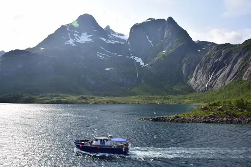
Island in Norway
Lofoten
Dramatic Peaks and Northern Lights
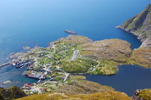
The trail up Reinebringen climbs steeply above the fishing village of Reine. Stone steps built by Nepali workers now cover much of the ascent. Hikers reach a narrow ledge with views over jagged peaks and turquoise fjords below. The climb takes most people under two hours round trip.
National Park in United States
Glacier National Park
Crown of the Continent
The Grinnell Glacier Trail climbs past a chain of turquoise lakes towards one of the park's largest remaining glaciers. Waterfalls cross the path in several places during peak snowmelt. Hikers can shorten the route by taking a boat partway across Lake Josephine. Black bears and grizzlies are regularly spotted along the lower sections.
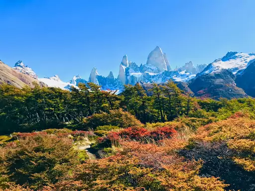
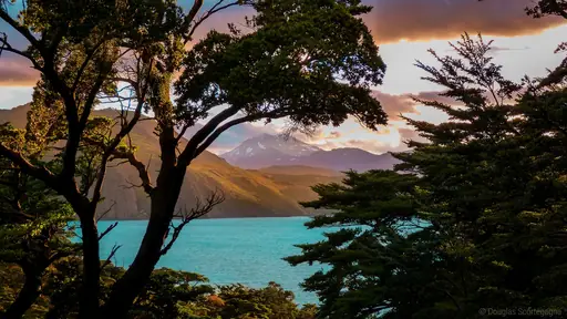
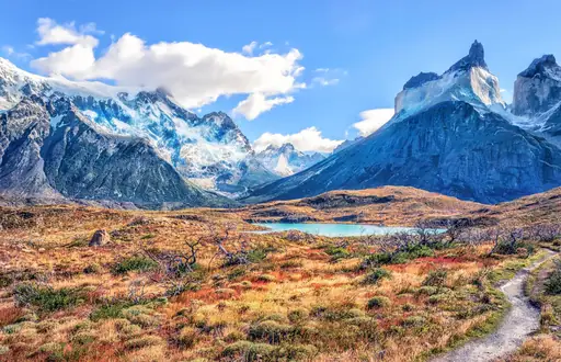
National Park in Chile
Torres del Paine National Park
Epic Landscapes and Untamed Wilderness
The W Trek links three valleys beneath the park's granite spires over about five days. It passes the base of the Torres, three towers that turn pink at sunrise. Hikers cross suspension bridges and pass Grey Glacier along one arm of the route. A longer O Circuit adds a fourth day around the massif.
City in Peru
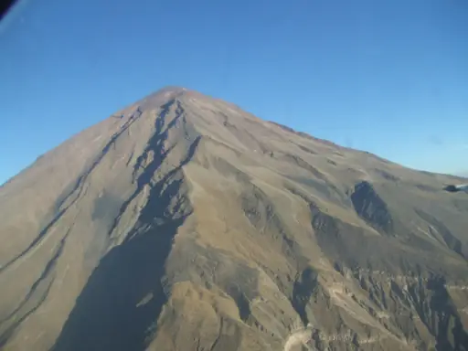
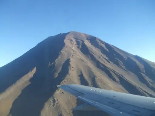
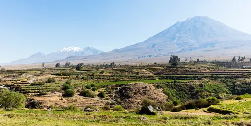
Arequipa
White city with volcanic views
Trails into Colca Canyon near this Peruvian city descend one of the world's deepest gorges. Hikers can spot Andean condors soaring on thermals rising from the canyon floor. Multi-day treks wind past terraced farmland and small villages along the route. Hot springs at the canyon's base reward hikers after the steep climb back out.
National Park in United States
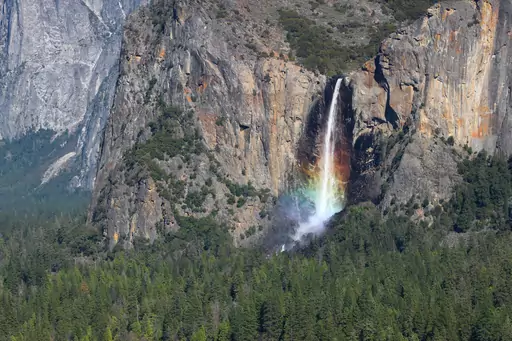
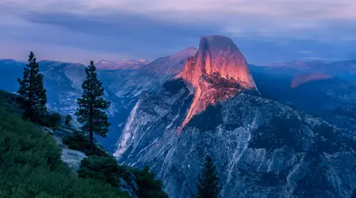
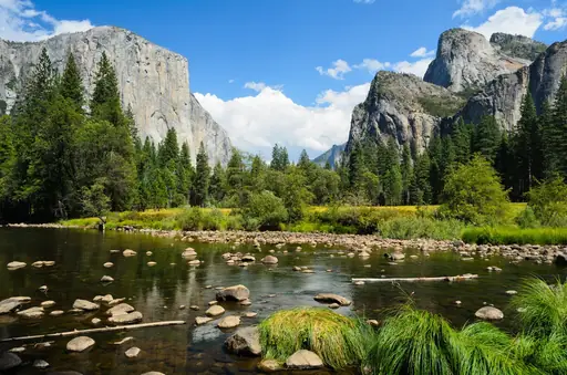
Yosemite National Park
Nature's Grand Cathedral
The Mist Trail climbs alongside Vernal and Nevada Falls, often soaking hikers in spray along the way. Granite steps cut into the rock lead up beside the rushing water. Longer routes continue towards Half Dome, using cables for the final steep pitch. A permit lottery controls access to the cable section each season.
State/Prefecture in United States
Wyoming
Wild West landscapes and natural wonders
The Teton Crest Trail runs roughly 40 miles through the heart of Grand Teton National Park. It crosses high passes with close views of the range's granite spires. Hikers pass wildflower meadows and alpine lakes fed by snowmelt. Most groups take four to five days to complete the full route.

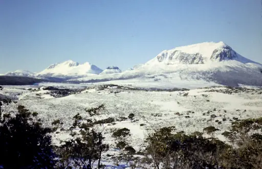
Island in Australia
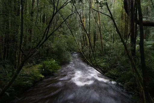
Tasmania
Wilderness, Wildlife and Wild Coasts
The Overland Track runs 65 kilometres through Cradle Mountain-Lake St Clair National Park. It passes button grass plains, rainforest and alpine moorland along the way. Hikers can add a side trip up Cradle Mountain itself for wider views. Most groups take five to six days to walk the full track.
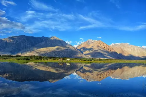
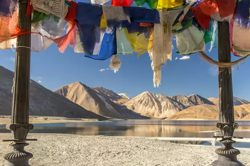
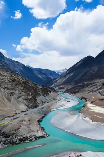
Region in India
Ladakh
Himalayan Cold Desert of Contrasts
The Markha Valley trek crosses two high passes above 5,000 metres in the Zanskar range. The route follows a river valley past mud-brick villages and old monasteries. Trekkers sleep in homestays and watch for blue sheep on the slopes above. Most groups complete the full circuit in about seven days.
National Park in Switzerland
Swiss National Park
Majestic alpine wilderness, untouched and serene
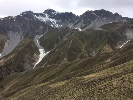
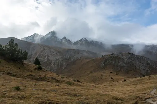
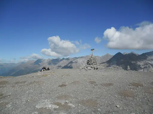
Trails through the Val Trupchun valley offer strong wildlife viewing chances in the Alps. Chamois and ibex graze openly on the slopes above the path. Unlike most Swiss parks, hikers must stay strictly on marked trails here. The valley narrows into a rocky gorge near its upper end.
Country
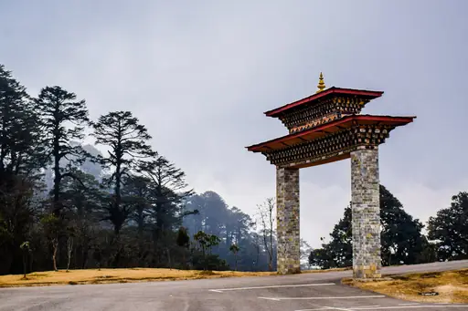
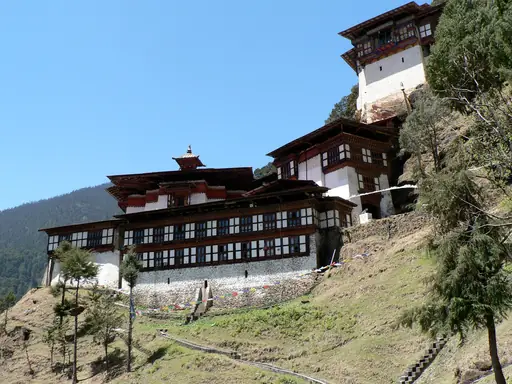
Bhutan
Himalayan monasteries, dzongs and trekking trails
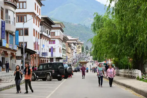
A steep trail climbs to Tiger's Nest monastery, perched on a cliff above a forested valley. Hikers gain roughly 900 metres over several hours to reach the sacred site. The multi-week Snowman Trek crosses some of the highest passes attempted by trekkers anywhere. Prayer flags mark high points along both routes throughout the kingdom.
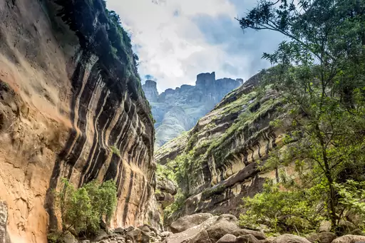
Nature Reserve in South Africa
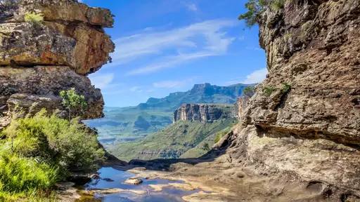
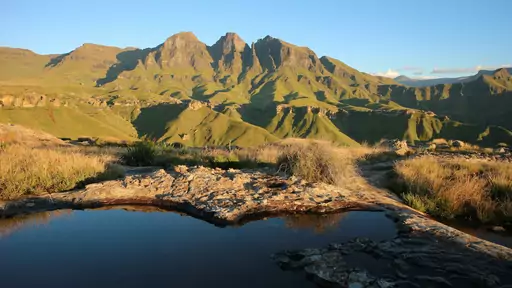
Ukhahlamba Drakensberg Park
Barrier of spears touching sky
The Sentinel Peak Trail climbs towards Tugela Falls, one of the tallest waterfalls in the world. Two steep chain ladders help hikers up the final rock face near the top. Walkers reach an amphitheatre of basalt cliffs over a thousand metres high. The falls drop in several stages when the river is running full.
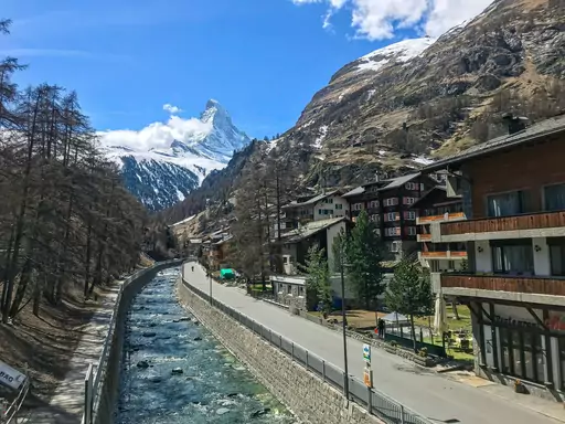
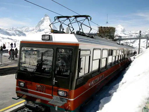
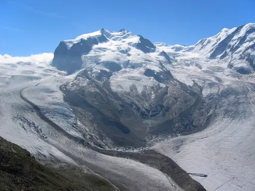
Town in Switzerland
Zermatt
Alpine Magic and the Matterhorn
The Five Lakes Walk links five small alpine lakes with reflections of the Matterhorn on clear days. The route stays mostly flat, making it accessible to most fitness levels. Hikers pass through pine forest between each of the lakes. Riffelsee, roughly halfway through, offers the most famous mirror image of the peak.
Region in Italy
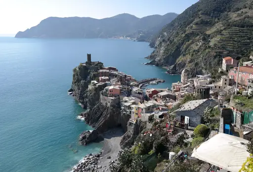
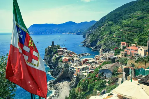
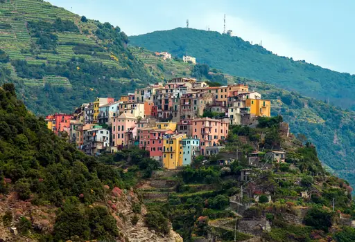
Cinque Terre
Colorful Cliffs and Coastal Charm
The Sentiero Azzurro, a blue-marked coastal trail, links this Italian coastline's five villages. Hikers can walk clifftop paths overlooking vineyards terraced into the steep hillsides. Some sections close periodically after landslides damage the narrow, exposed trail. Views stretch across the Ligurian Sea for much of the multi-hour route.
Town in New Zealand
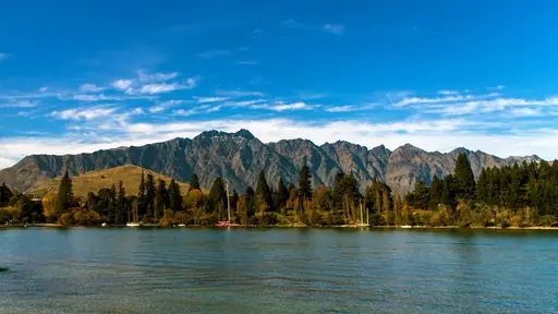
Queenstown
Adventure capital with alpine beauty
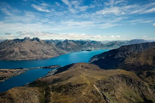
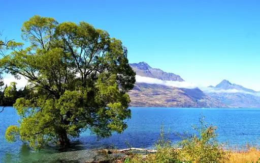
The Routeburn Track begins a short drive from town and runs through Fiordland and Mount Aspiring National Parks. It climbs past the Harris Saddle for wide alpine views. Trekkers can complete the full three-day route or hike shorter sections as day trips. Huts along the way need to be booked well in advance.
City in Italy
Bolzano
Where Alpine peaks meet Italian soul
This Italian city serves as a gateway into the Dolomites' extensive network of hiking trails. Cable cars from town carry hikers up towards alpine meadows and rocky ridgelines. Trails here range from gentle valley walks to demanding via ferrata routes. Mountain huts scattered through the range let hikers spend multiple days exploring the peaks.
Region in Finland
Lapland
Northern lights and midnight sun
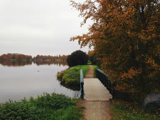
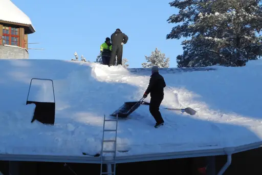
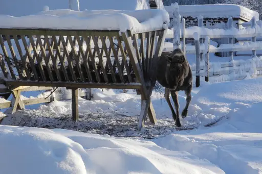
Trails through this Finnish region cross open fells and dense boreal forest. Hikers can walk sections of the UKK Trail, one of the country's longest routes. Reindeer often graze near the path during warmer months. The midnight sun keeps trails walkable long after a typical evening elsewhere.
National Park in Iceland
Vatnajökull National Park
Glaciers, Volcanoes and Ice Caves
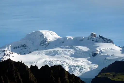
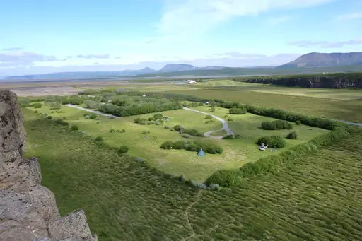
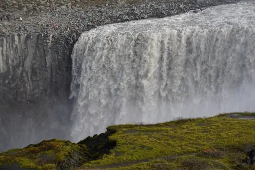
Trails near Skaftafell lead hikers to Svartifoss, a waterfall framed by black basalt columns. Longer routes climb towards glacier tongues that spill down from Iceland's largest ice cap. Hikers can add a side trip onto the ice itself with a guide and crampons. The park covers roughly 14 percent of Iceland's total land area.


Country
Democratic Republic of the Congo
Wild heart of Central Africa
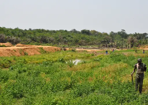
Hikers can climb Mount Nyiragongo overnight to camp beside its active lava lake. The steep, multi-hour ascent gains over a thousand metres through changing terrain. Glowing lava becomes visible after dark from huts perched on the crater rim. Rangers accompany all groups given the volcano's remote, unpredictable activity.
Region in New Zealand
North Island
Geothermal Wonders and Māori Culture
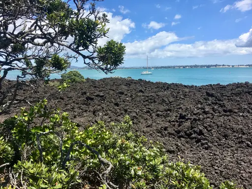
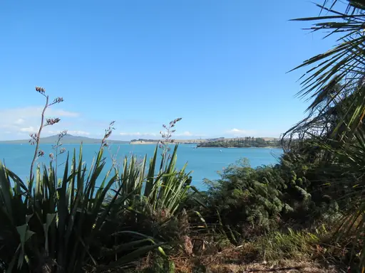
The Tongariro Alpine Crossing covers about 19.4 kilometres through volcanic terrain. It passes the Emerald Lakes, coloured bright green by mineral deposits. Walkers climb past Mount Ngauruhoe, the cone used as Mount Doom in film. Most people finish the full crossing in six to eight hours.
Town in United States
Telluride
Breathtaking box canyon mountain paradise
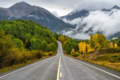
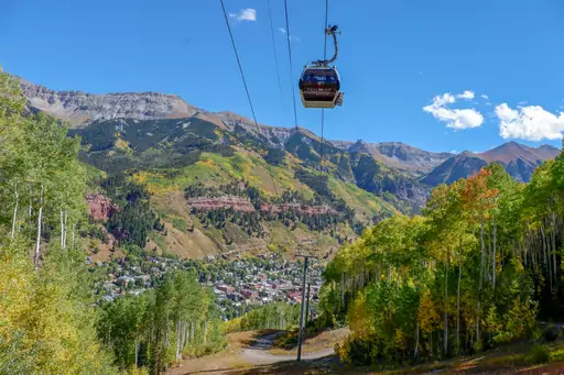
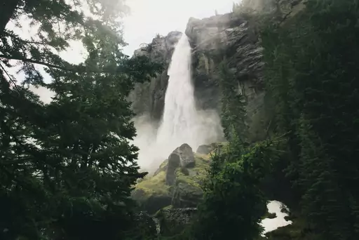
A trail leads to Bridal Veil Falls, the tallest free-falling waterfall in Colorado at 365 feet. The path climbs a series of switchbacks up the canyon wall beside the falls. Hikers pass an old hydroelectric power station still perched at the top. The full round trip covers about three miles.
City in Peru
Cusco
Gateway to the Incan Empire's Heart
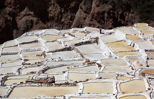
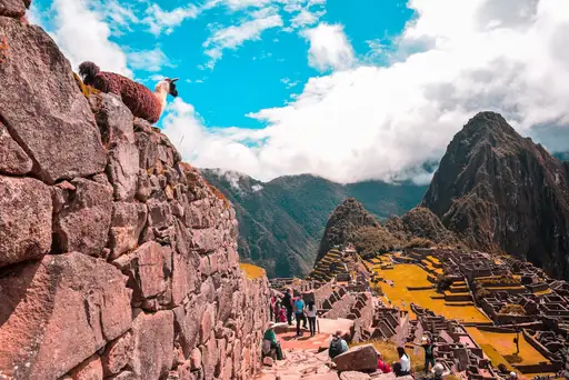
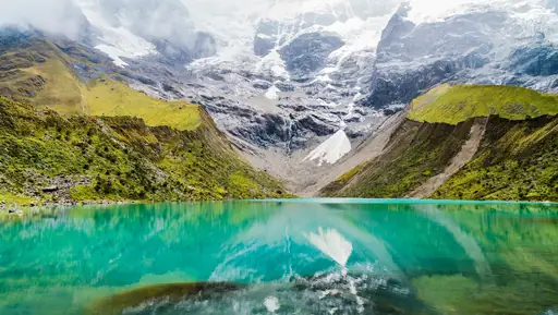
The Inca Trail winds through Peru's mountains over four days towards Machu Picchu. Hikers pass through cloud forest and stone ruins built centuries before European contact. Permits limit daily hikers, so booking months ahead is usually necessary. The trail ends at the Sun Gate, offering a first sweeping view of the ruins.
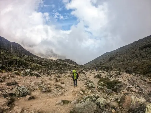
National Park in Tanzania
Kilimanjaro National Park
Africa's Rooftop Adventure
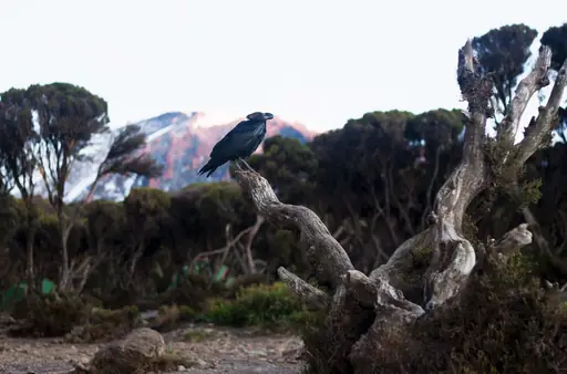
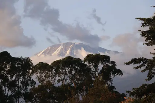
The Lemosho route enters the park from the west, crossing rainforest before opening onto moorland. It's considered one of the more scenic and gradual paths up the mountain. Trekkers spend six to eight days moving through several distinct climate zones. Wildlife like colobus monkeys are more commonly seen along this route than on shorter ones.
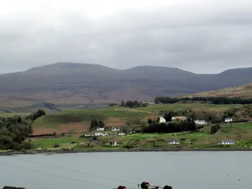
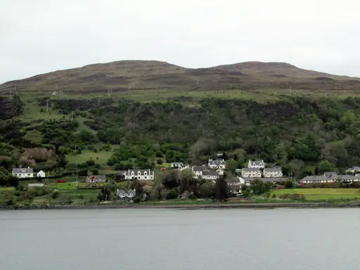
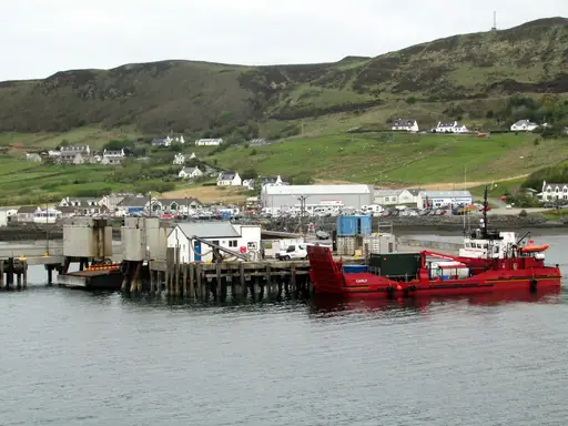
Island in United Kingdom
Isle of Skye
Dramatic Landscapes and Ancient Legends
The Cuillin Ridge is considered one of the toughest scrambles in Britain. It includes the Inaccessible Pinnacle, a rock spike that requires basic climbing skills to summit. Hikers traverse jagged black gabbro peaks with drops on either side. Most parties hire a guide to cross the ridge's most exposed sections safely.
National Park in Canada
Jasper National Park
Untamed Wilderness and Starry Skies
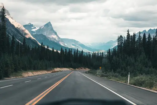
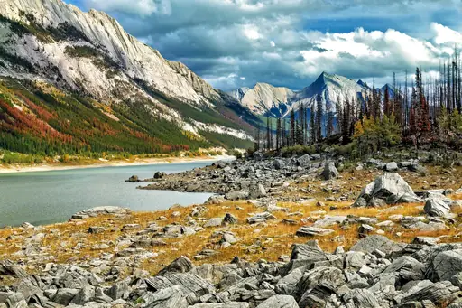
The Skyline Trail crosses roughly 44 kilometres of alpine terrain through this Canadian park. Hikers spend most of the route above the treeline with sweeping mountain views. Caribou and bighorn sheep are sometimes spotted along the trail's higher sections. Backcountry campsites spaced along the route require advance reservation.
Nature Reserve in Jordan
Wadi Rum
Valley of the moon's timeless magic
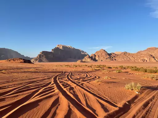
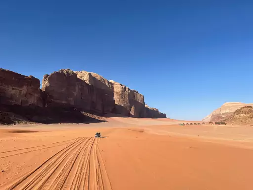
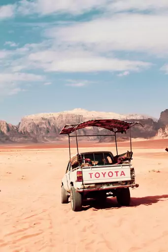
Trails through this desert valley wind past towering sandstone and granite formations. Bedouin guides lead hikers to natural rock bridges like Umm Fruth. Walkers can scramble up Jebel Khazali for views over the red sand below. Many treks end with a night camping under the desert sky.

City in Japan
Fujiyoshida
Fuji's sacred trailhead with the pagoda view
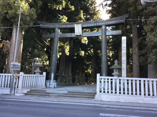
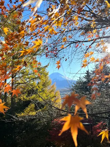
A steep stairway climbs to the Chureito Pagoda, framed against Mount Fuji in one of Japan's most photographed views. Roughly 400 steps lead up through a forest of cherry trees. Visitors time the climb for cherry blossom season or clear autumn mornings. The pagoda itself was built in 1963 as a peace memorial.

National Park in United States
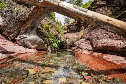
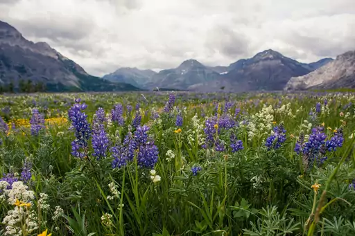
Waterton Glacier International Peace Park
Where two nations preserve wilderness
The Crypt Lake Trail begins with a boat ride across Waterton Lake to reach the trailhead. It passes through a natural tunnel carved into the rock near the top. Hikers climb a ladder and cable section before reaching the turquoise lake. The round trip covers about 17 kilometres.
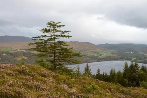
Region in United Kingdom
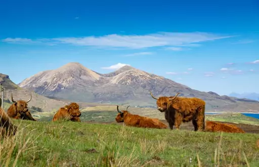
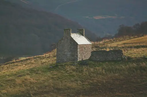
Scottish Highlands
Rugged Beauty and Ancient Legends
The West Highland Way runs 96 miles from Milngavie to Fort William. It passes along the shores of Loch Lomond before climbing into open moorland. Walkers finish beneath Ben Nevis, the highest peak in Britain. Most people take five to eight days to complete the full route.
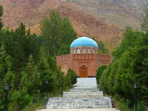
Country
Tajikistan
Dramatic mountains meet ancient cultures
The Fann Mountains trek leads hikers past a cluster of turquoise alpine lakes near Kulikalon. Granite peaks rise steeply above the water on several sides. Trekkers camp near the lakeshore before crossing higher passes deeper into the range. The area sits within reach of Samarkand, making it a common add-on for travellers.
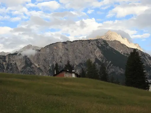
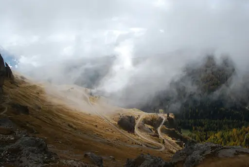
Town in Italy
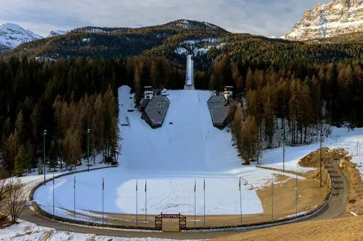
Cortina d'Ampezzo
Dolomite Peaks, Alpine Glamour, Adventure
Trails near this Italian town climb towards the jagged spires of the Cinque Torri. The Alta Via 1 long-distance route begins nearby, crossing much of the Dolomites. Hikers can ride lifts partway up before continuing on foot to rocky viewpoints. War-era tunnels and trenches from World War One still line several trails.
Country in United Kingdom
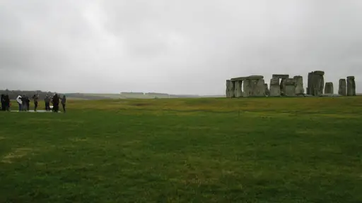
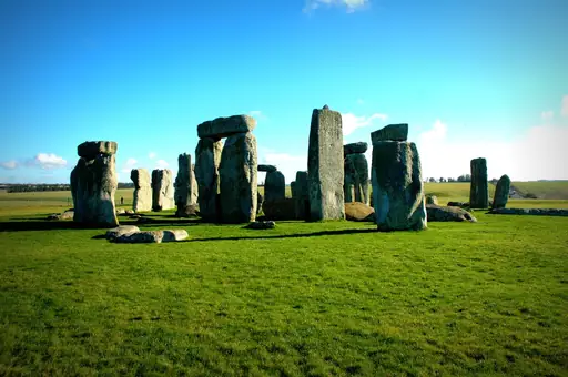
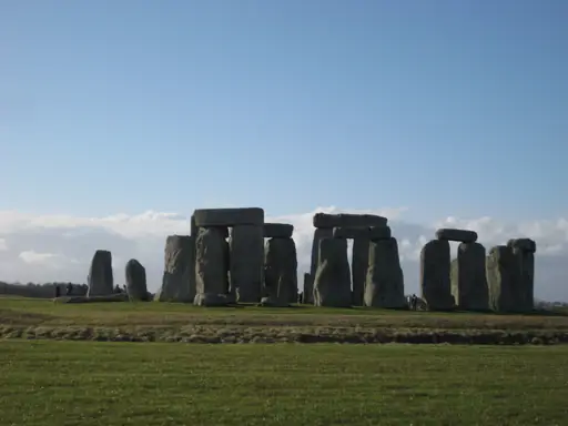
England
Historic Nation of Timeless Charm
The Coast to Coast Walk crosses northern England over roughly 190 miles of varied terrain. Hikers pass through three national parks, including the Lake District's fells and lakes. The unofficial route has become one of the country's most walked long-distance trails. Villages along the way offer pubs and guesthouses for overnight stops.
Country
Lesotho
Mountain kingdom in the sky
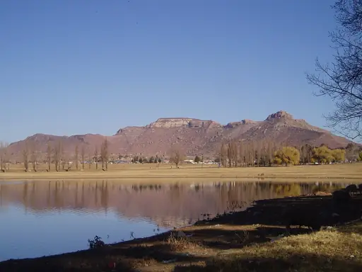
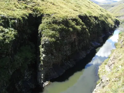
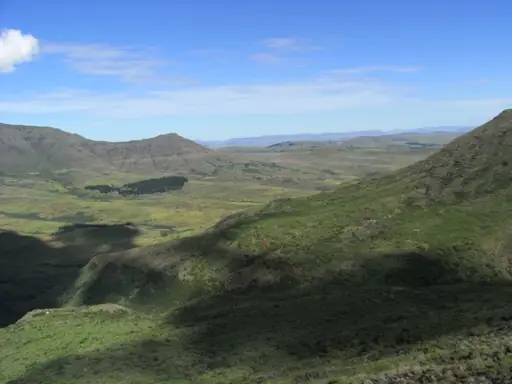
The Sani Pass trail climbs a dirt track to Lesotho's border with South Africa. It reaches over 2,800 metres, one of the highest mountain passes in the region. Hikers and off-road travellers share the route up a series of tight switchbacks. Ponies still carry local herders through the same rugged terrain.
Mountain
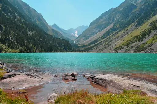
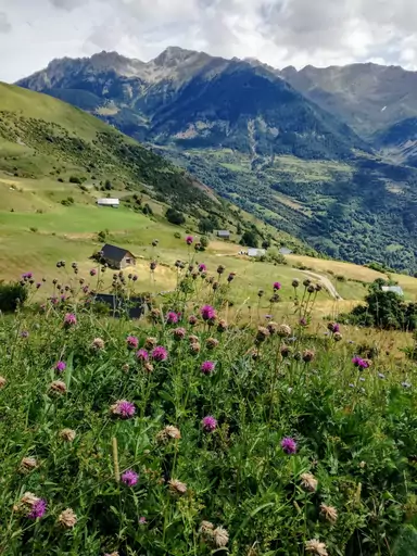
Pyrenees
Where France meets Spain majestically
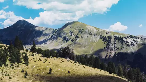
The Cirque de Gavarnie trail leads to a natural rock amphitheatre lined with waterfalls. One drop, the Grande Cascade, falls over 400 metres down the cliff face. Walkers can reach the base on a fairly easy path from the village below. Longer routes continue upward towards the border ridge with Spain.
Region in Switzerland
Graubünden
Alpine wonderland with pristine lakes and trails
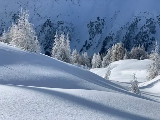
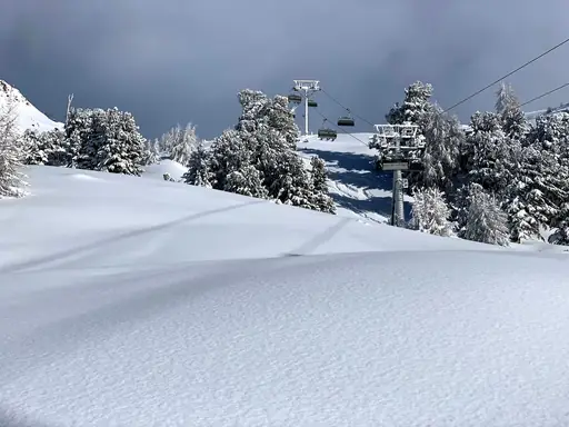
The Via Alpina crosses this Swiss region's high passes on its way through the wider Alps. Hikers pass through larch forests and above the treeline on exposed alpine sections. Small mountain villages along the route offer overnight stays between longer stages. Ibex and chamois are commonly spotted on quieter, higher trails.
Region in Austria
Tyrol
Alpine paradise in all seasons
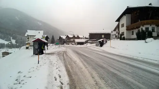
The Stubai High Trail links a chain of huts across glaciated peaks over about eight days. Sections cross rocky ridgelines above 3,000 metres with views over permanent ice fields. Hikers need crampons for a few short glacier crossings along the route. Mountain huts serve warm meals, so packs stay lighter than on unsupported treks.
National Park in Namibia
Namib-Naukluft National Park
Endless Dunes and Desert Drama
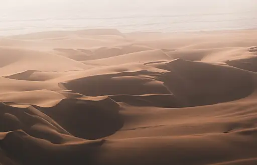
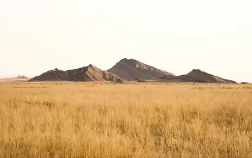
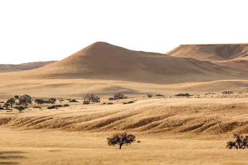
A short, steep climb up Dune 45 rewards hikers with views across the Namib desert. The dune's ridge narrows to a single sandy line near the top. From there, walkers can continue towards Deadvlei, a white clay pan dotted with dead trees. Starting at sunrise helps hikers beat the desert heat.
City in United States
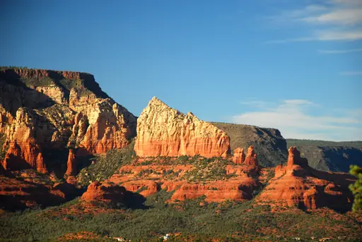
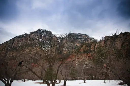
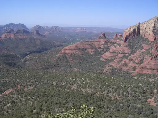
Sedona
Red Rocks, Vortexes and Starry Skies
A trail up Cathedral Rock climbs steep red sandstone using natural handholds near the top. The formation glows orange and red at sunset, drawing hikers to time their climb accordingly. Walkers reach a saddle with views across the surrounding red rock canyons. The round trip covers just over a mile but gains steep elevation.
Town in New Zealand
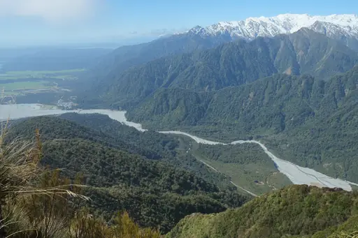
Franz Josef
Gateway to the Majestic Glaciers
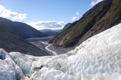
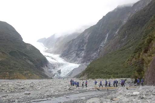
Guided hikes here climb onto this New Zealand glacier's crevassed, shifting ice. Trekkers strap on crampons before navigating ice formations that reshape after each visit. Helicopter access has become more common as the glacier has retreated up the valley. A valley walk still leads hikers close to the glacier's face without technical gear.
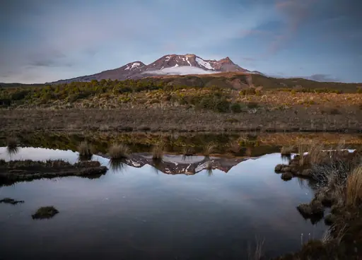
National Park in New Zealand
Tongariro National Park
Volcanic landscapes and epic hikes
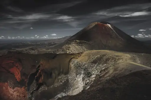
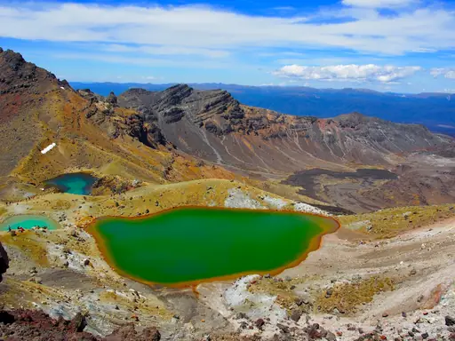
The Tongariro Northern Circuit is a three to four day loop that includes the famous Alpine Crossing. It circles Mount Ngauruhoe through volcanic craters and steaming vents. Trekkers pass the bright green Emerald Lakes and a red crater rim. Huts along the route let hikers spread the loop over several days.
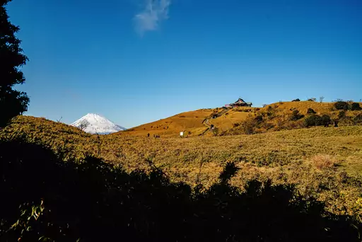
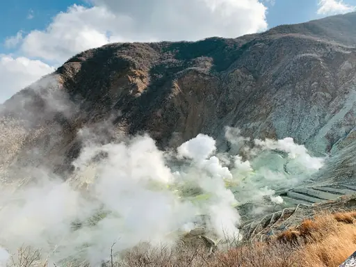
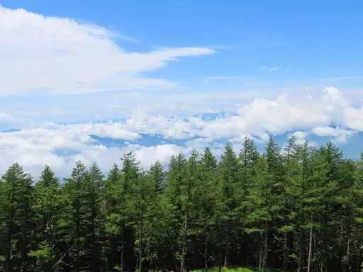
National Park in Japan
Fuji-Hakone-Izu National Park
Fuji, Hakone, Izu and volcanic islands
Trails through Hakone climb past volcanic vents and steaming sulphur springs. Hikers can walk the Owakudani area's boardwalks over active geothermal ground. Lake Ashi's shoreline trail offers views towards Mount Fuji on clear days. Cable cars connect several trailheads across this mountainous stretch of the park.
Country
Venezuela
Land of diverse tropical landscapes
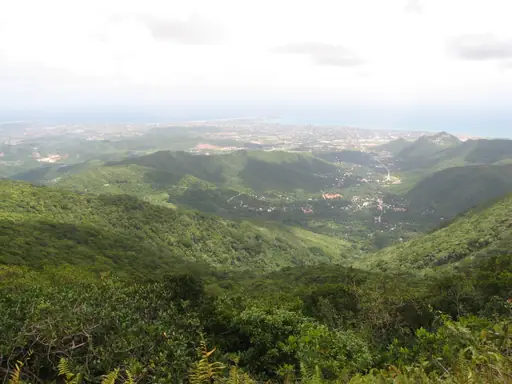
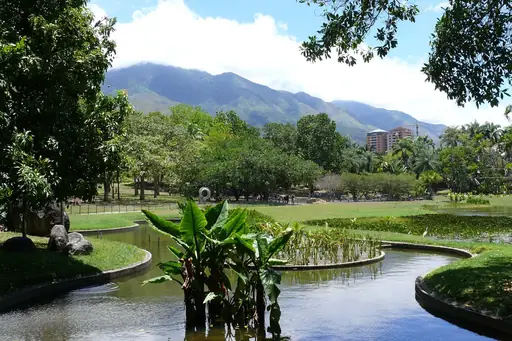
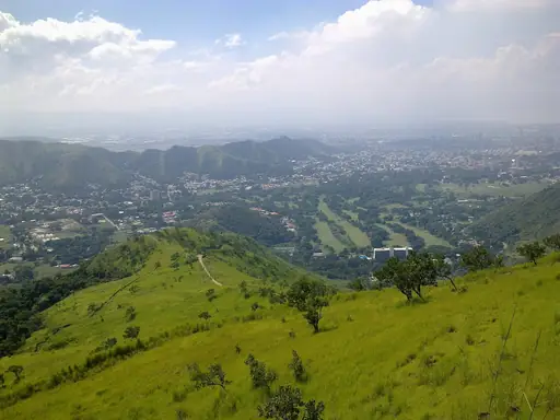
The trek to Mount Roraima climbs a flat-topped tepui that inspired the setting for a famous adventure film. The route crosses savanna and a jungle valley before a steep climb up the plateau's edge. Trekkers reach a summit covered in strange rock formations and small pools. The full round trip usually takes about six days.
Nature Reserve in China
Wulingyuan nature reserve
Misty Peaks of Avatar Fame
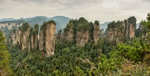
Thousands of narrow sandstone pillars rise from the forest floor across this reserve. The Golden Whip Stream trail follows a valley between the peaks for about seven kilometres. Walkers cross wooden boardwalks with towers rising on both sides. These formations helped inspire the floating mountains in a well-known animated film.
Town in Georgia
Mestia
Ancient Towers and Alpine Adventures
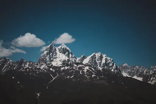
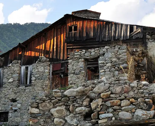
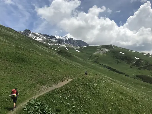
This Svaneti village is the starting point for the trek to Ushguli, one of Europe's highest villages. The four-day route crosses the Guli Pass above 2,900 metres. Trekkers pass stone defensive towers that date back to medieval times. Views open up towards Mount Ushba, one of the Caucasus range's sharpest peaks.
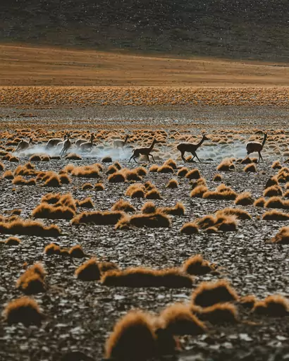
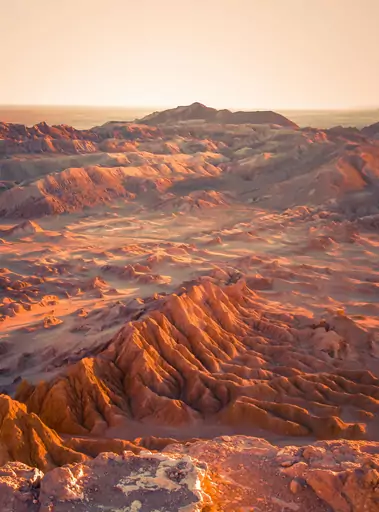
Desert in Chile
Atacama Desert
Endless dunes under starlit desert skies
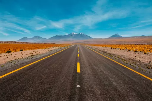
Trails through the Valle de la Luna cross salt flats and wind-carved rock formations. The landscape's dry, cratered surface has been compared to the surface of the moon. Walkers can climb dunes near the valley for sunset views over the terrain. Nearby geyser fields add a second common stop for early morning hikes.
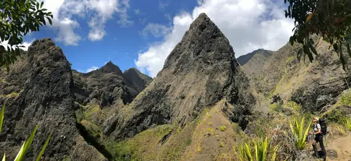
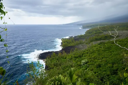
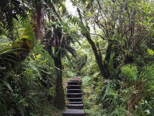
Outer Territory in France
Réunion
An Island of Adventure and Beauty
Trails wind through the Cirque de Mafate, a volcanic amphitheatre reachable only on foot. No roads lead in, so villages inside rely on hiking paths for supplies. Walkers cross ridges with views down into deep, green valleys. A separate trek up Piton de la Fournaise crosses hardened lava fields.
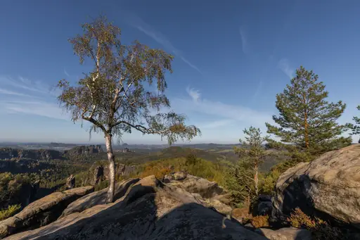
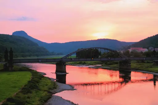
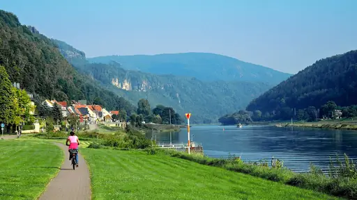
Region in Germany
Saxon Switzerland
Timeless vineyards and alpine charm
A network of sandstone trails winds through this park south of Dresden. Many lead to the Bastei, a narrow bridge connecting rock towers above the Elbe River. Walkers cross the bridge for views down into forested gorges below. Some paths require squeezing through narrow rock passages carved by centuries of erosion.
Village in Switzerland
Lauterbrunnen
Valley of 72 waterfalls
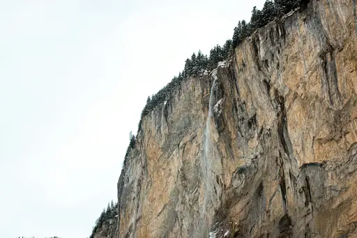
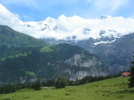
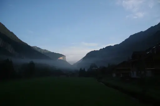
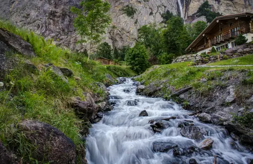
A path known as the 72 waterfalls trail climbs the cliffs above this valley. Staubbach Falls, one of the tallest, drops nearly 300 metres into the valley floor. Walkers pass through meadows with the Jungfrau massif visible in the distance. The route connects Lauterbrunnen to the nearby villages of Murren and Wengen.
Town in Turkey
Göreme
Fairy Chimneys and Cave Dwellings
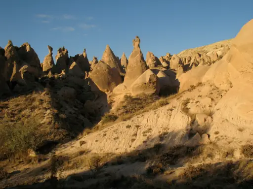
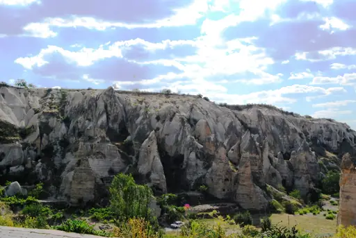
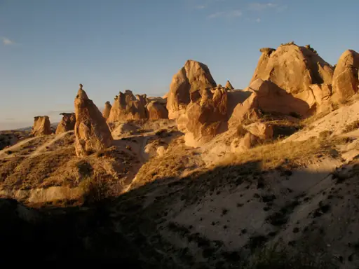
Homes carved directly into volcanic rock line trails through this Turkish valley. Hikers can follow the Rose Valley path for views of cave dwellings at sunset. Pigeon Valley nearby is named for the hand-carved nesting holes lining its cliffs. Balloons drift overhead each morning as hikers explore the valley floor below.
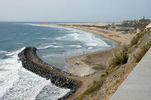
Island in Spain
Gran Canaria
Dunes, Volcanoes, Beaches and Culture
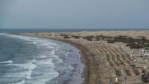
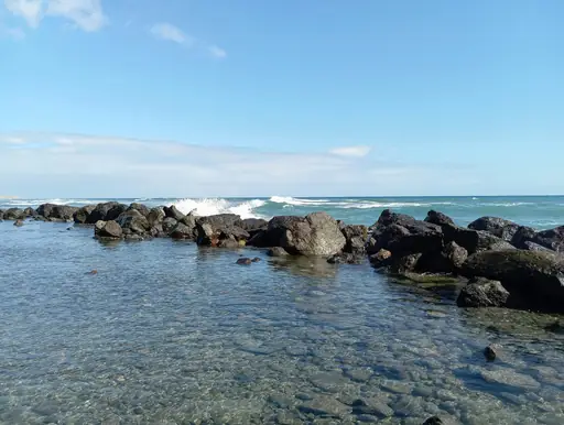
A trail climbs to Roque Nublo, a volcanic rock formation rising sharply from the island's interior. Hikers gain views stretching towards Tenerife's Mount Teide on clear days. The round trip trail takes most hikers around two hours to complete. Pine forest surrounds much of the approach before the final rocky scramble.
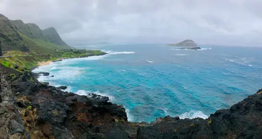
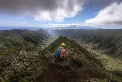

Island in United States
Oahu
Hawaii’s Vibrant Island Adventure
A steep switchback trail leads up through a tunnel to the rim of Diamond Head crater. Built in 1908 as part of a coastal defence system, the path still shows old bunkers. Walkers who reach the top get views over Waikiki and the coastline below. The climb takes most people under an hour round trip.
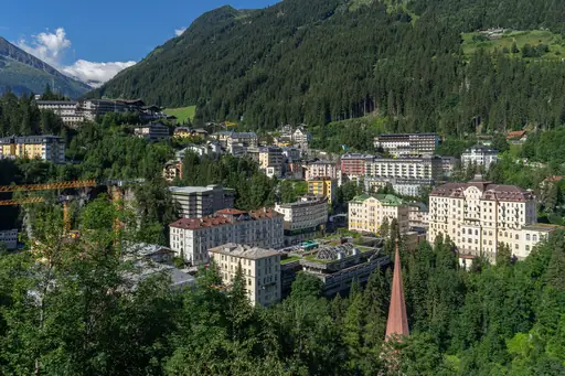
Town in Austria
Bad Gastein
Soothing alpine waters in picturesque valley
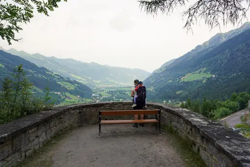
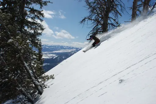
A trail follows the Gasteiner Ache river past a 341-foot waterfall that drops through the centre of town. Wooden walkways and bridges let hikers get close to the rushing water. The path continues up the valley towards smaller cascades further along. Thermal springs nearby have drawn visitors to the area for centuries.
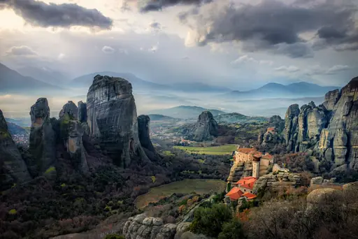
Nature Reserve in Greece
Meteora
Monasteries Suspended in the Sky
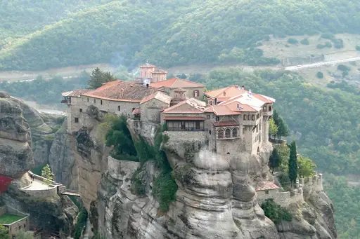
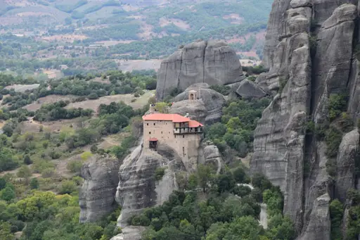
Stone-cut paths and stairways connect the cliff base to monasteries built on top of them. Monks began settling these rock pillars in the 14th century for isolation. Walkers can follow marked trails between several monasteries in a single day. Great Meteoron, the largest, sits atop a sheer tower of rock.
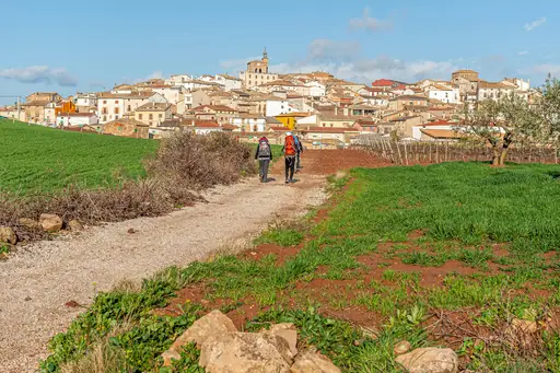
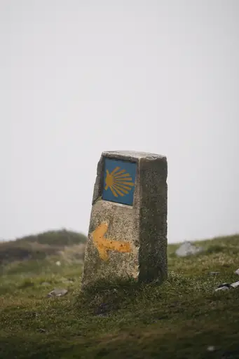
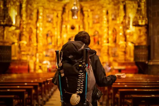
Pilgrims Way in Spain
Camino de Santiago
Ancient pilgrimage route through Spain’s heart
The Camino Frances stretches roughly 800 kilometres from the French border to Santiago de Compostela. Pilgrims collect stamps in a passport at churches and albergues along the route. Walkers pass vineyards, farmland and small stone villages over about five weeks. Many finish at the cathedral believed to hold the remains of the apostle James.

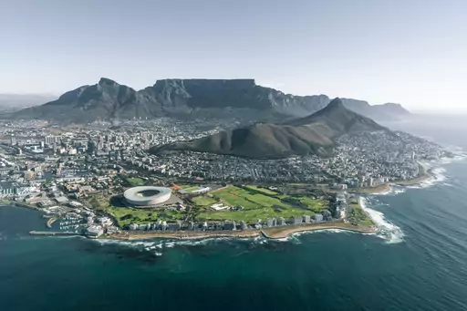
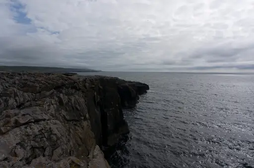
City in South Africa
Cape Town
Mountains, Beaches and a Vibrant Culture
Trails up Lion's Head spiral around the peak, gaining views over the city below. Hikers can time the climb for sunrise or sunset when crowds gather near the summit. Chains and metal rungs assist climbers across a short, exposed rock section. The full loop trail takes most hikers around two hours round trip.
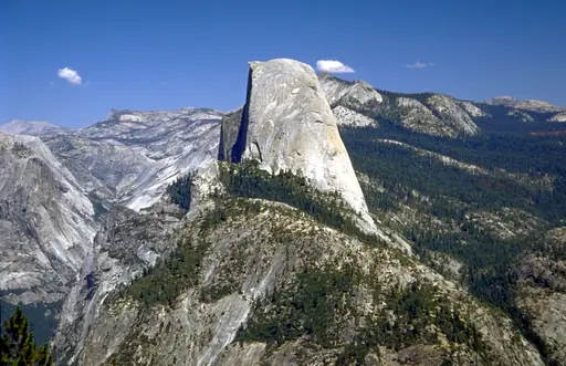
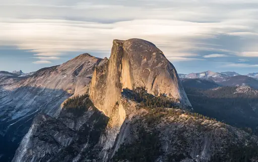
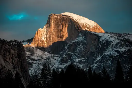
Peak in United States
Half Dome
Iconic Granite Challenge Peak
Steel cables bolted into granite help hikers climb this Yosemite landmark's final steep pitch. Permits are required for the cable section due to the trail's popularity and exposure. Hikers can cover nearly 15 miles round trip from the valley floor to the summit. Views from the top stretch across the entire Yosemite high country.
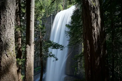
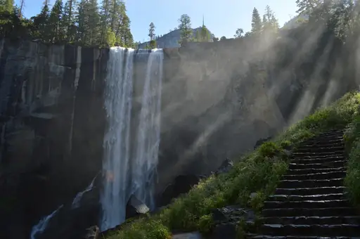
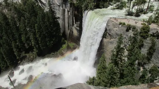
Waterfall in United States
Vernal Fall
Powerful Waterfall with Misty Trails
The Mist Trail climbs stone steps alongside this Yosemite waterfall's misty spray. Hikers get soaked passing directly beside the falling water on hot summer days. The trail continues higher towards Nevada Fall for those wanting a longer climb. Granite steps carved into the rock make the route feel more like stairs than trail.
Mountain
Mount Everest
World's highest peak, ultimate challenge
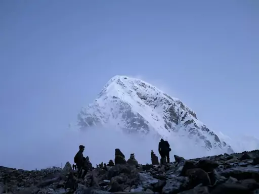
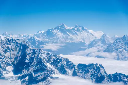
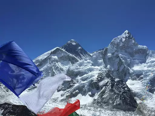
The trek to Everest Base Camp climbs to about 5,364 metres over roughly 12 days. Trekkers pass through Sherpa villages like Namche Bazaar and Tengboche on the way. Many stop at Kala Patthar for the clearest close-up view of Everest's summit. Most groups fly into Lukla to begin the route.
Lake in New Zealand
Lake Tekapo
The Glacial Gem of the South Island
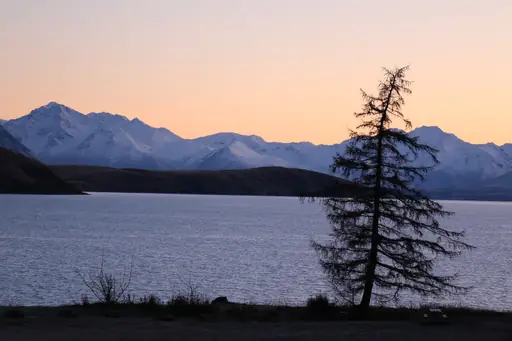
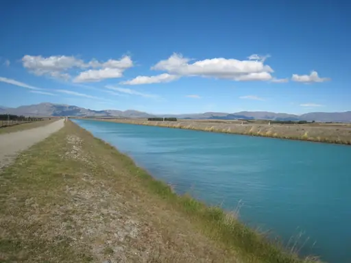
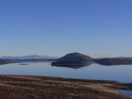
A trail climbs from the lakeshore to the Mount John Observatory above town. Along the way it passes lupins that bloom purple and pink each summer. Walkers get wide views over the lake's milky turquoise water. Stargazers often return after dark, since the region is a certified dark sky reserve.
National Park in United States
Olympic National Park
Untamed Wilderness, All in One
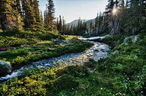
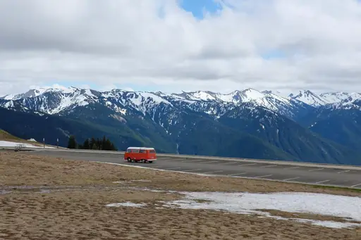
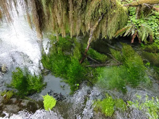
The Hoh River Trail leads into one of the wettest temperate rainforests in the country. Moss hangs thick from maple branches along the flat opening miles of trail. Walkers can continue towards Blue Glacier for a longer, more demanding route. The rainforest gets over 140 inches of rain in an average year.
Country
Kyrgyzstan
Untouched mountain wilderness awaits explorers
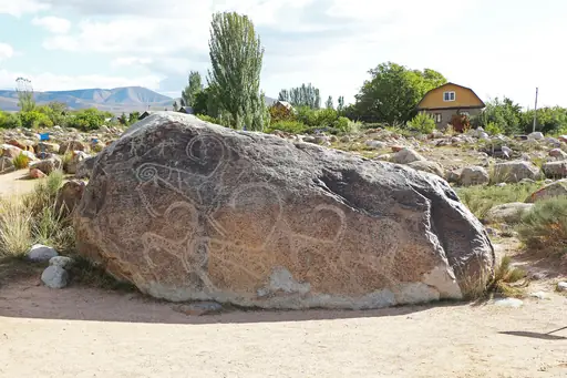
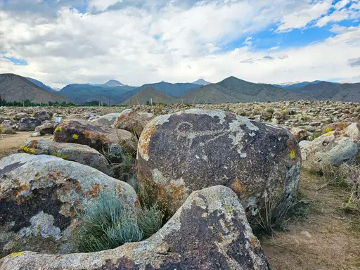
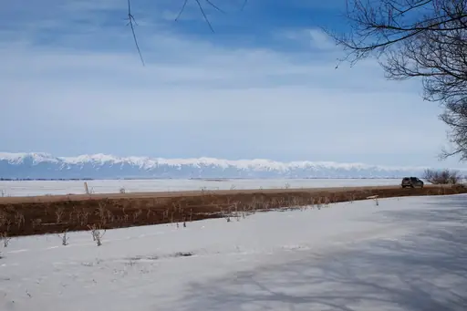
The Ala-Kul Lake trek near Karakol climbs to a turquoise alpine lake at 3,560 metres. The trail crosses a high pass before dropping down to the lake's edge. Trekkers usually camp near the shore and continue on to Altyn Arashan hot springs. Local guides and horses are easy to arrange in nearby Karakol town.
Mountain in Japan
Mount Fuji
Japan's highest peak and sacred volcano
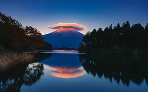
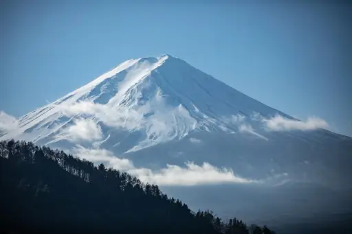
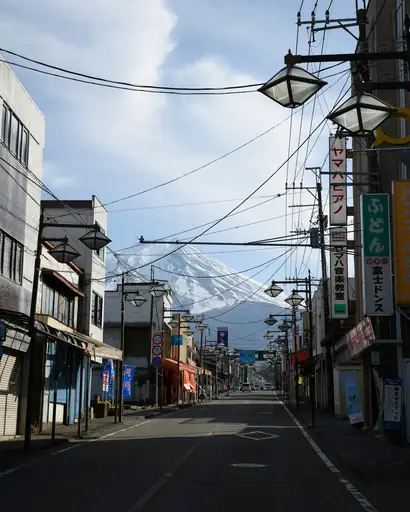
The Yoshida Trail is the most used of four routes to Fuji's 3,776-metre summit. Climbers often start at night to reach the top in time for sunrise. Mountain huts along the way offer rest stops and basic meals. The official climbing season runs only from early July to early September.
Region in Turkey
Cappadocia
A surreal land of fairy chimneys
Trails wind through valleys with names like Rose and Pigeon, carved into soft volcanic rock. Hikers can walk beneath cone-shaped rock formations rising from the valley floor. Cave dwellings carved into cliffs along the way once sheltered early Christian communities. Sunrise hikes let walkers watch hot air balloons drift silently overhead.
Country
Faroe Islands
Dramatic cliffs meet misty landscapes
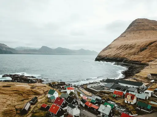
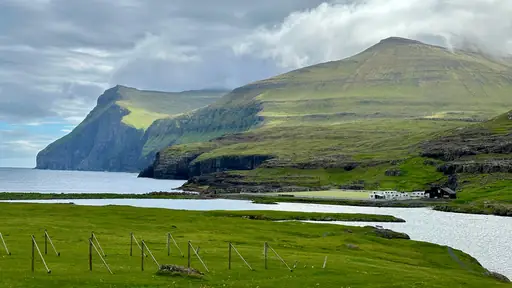
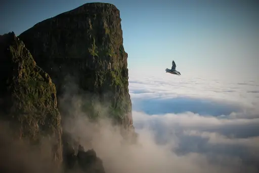
A short hike above this archipelago's Lake Sorvagsvatn reveals a striking optical illusion. From certain angles the lake appears to hover far above the ocean below. Hikers can walk a rim trail with cliffs dropping sharply on either side. Sheep graze steep, grassy slopes along much of the exposed coastal route.
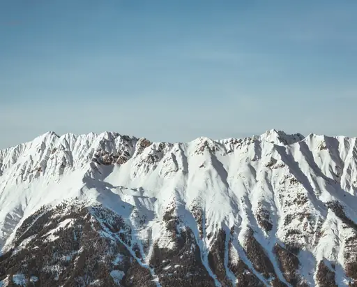
City in Austria
Innsbruck
Alpine Peaks and Imperial Streets
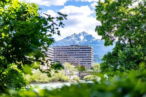
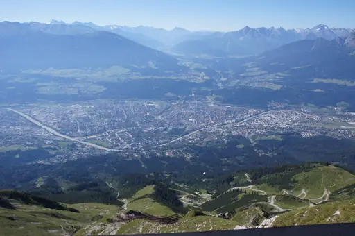
The Nordkette range rises directly above this Austrian city, reachable by cable car. Hikers can ride partway up before continuing on foot to rocky alpine ridgelines. Trails here climb quickly from city streets into high mountain terrain. Views from the ridge stretch across the Inn Valley and surrounding peaks.
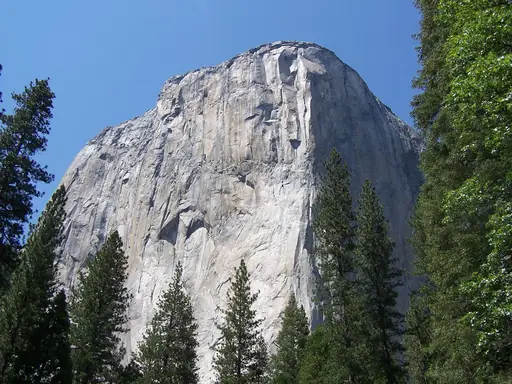
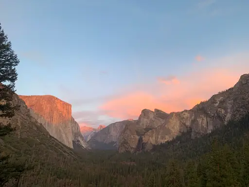
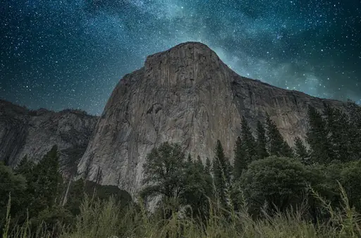
Peak in United States
El Capitan
Yosemite's Iconic Vertical Giant
A steep trail climbs to this Yosemite monolith's summit from the valley floor below. Hikers rarely attempt the route, since most visitors watch climbers scale the sheer granite face instead. Those who do reach the top can peer straight down the 3,000-foot wall. The approach trail gains nearly the same elevation as the cliff itself.
Mountain in Bern
Schilthorn
Epic views in Bond country
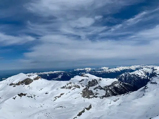
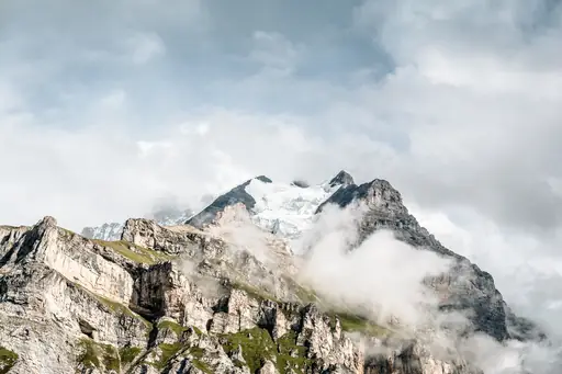
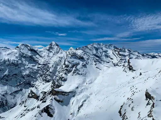
A cable car lifts hikers towards the Schilthorn summit, featured in a well-known spy film. From the upper station, a metal walkway called the Thrill Walk clings to the cliff face. Hikers cross narrow ledges bolted directly into the rock above Murren. The route ends back in the village after a steep descent.
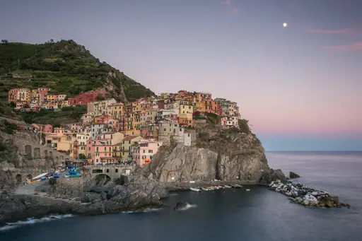
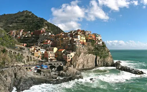
Village in Italy
Manarola
Enchanting Cliffside Coastal Village
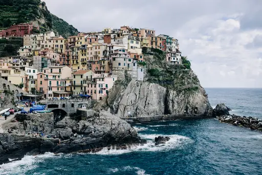
A cliffside path called the Via dell'Amore once linked this village to neighbouring Riomaggiore. Built into the rock in the 1920s, it hugs the coastline above the sea. Walkers can look back at Manarola's pastel houses stacked above the water. Parts of the path have reopened after years of repair work following a landslide.
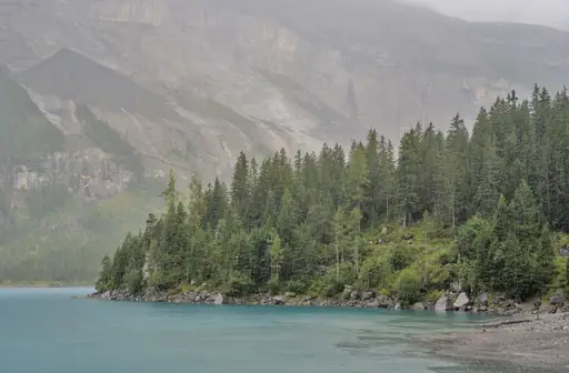
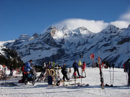
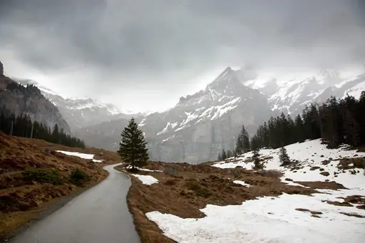
Lake in Bern
Oeschinen Lake
Turquoise Jewel of the Bernese Alps
A loop trail circles this Swiss lake beneath towering limestone cliffs and glaciers. Hikers can reach the lake by cable car before continuing on foot around the shore. Cows graze alpine pastures just above the trail through summer months. UNESCO recognised the surrounding Jungfrau region for its dramatic glacial landscape.
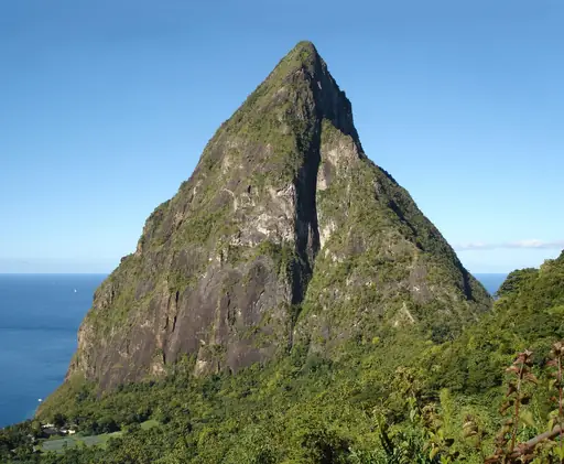
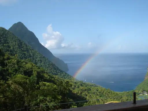

Country
Saint Lucia
Tropical paradise with volcanic mountains
A steep path climbs Gros Piton nearly 800 metres through rainforest to its volcanic summit. Guides are required and the upper sections use fixed ropes in places. Hikers reach a viewpoint looking across to the twin peak of Petit Piton. The climb and descent usually take most people four hours.
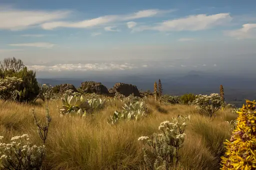
Mountain in Kenya
Mount Kenya
Majestic peaks echo ancient African horizons
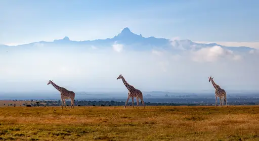
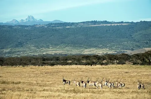
The Sirimon Route climbs through bamboo forest and moorland before reaching Point Lenana. Trekkers pass strange giant lobelia plants unique to East African peaks. Most groups take four to five days to acclimatise properly before the final push. Point Lenana, at 4,985 metres, doesn't require technical climbing gear to reach.
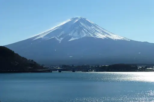
Town in Japan
Fujikawaguchiko
Lake town with Mount Fuji views and onsen
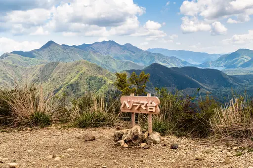
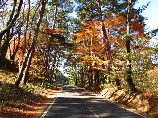
A ropeway near Lake Kawaguchi lifts hikers partway up Mount Kachi Kachi. From the top, views stretch back over the water towards Mount Fuji. A short trail continues from the upper station to a higher viewpoint. Walkers can loop back down through forest instead of riding the ropeway.
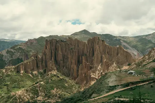
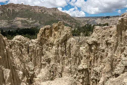
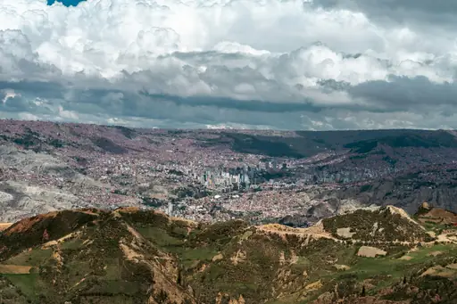
City in Bolivia
La Paz
Where Altitude Meets Adventure and Culture
The Choro Trek begins near La Paz on an old Inca stone road. It drops nearly 3,500 metres from the Andes down towards the Yungas rainforest. Hikers pass through shifting scenery, from cold highland passes to warm, humid valleys. The full route to Coroico usually takes about three days on foot.
Lake in Canada
Moraine Lake
Turquoise jewel of the Rockies
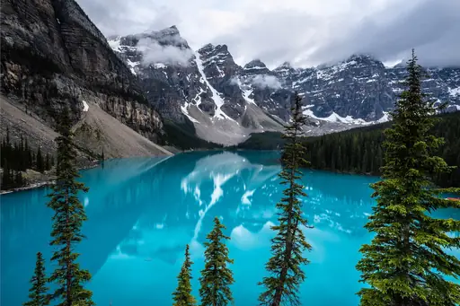
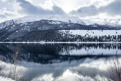
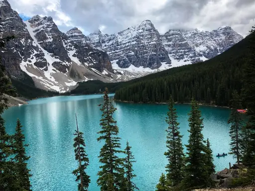
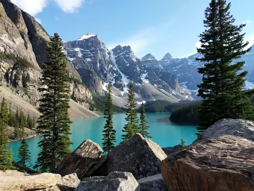
The Consolation Lakes trail climbs from this Canadian lake's turquoise shore into a quiet alpine basin. Ten jagged peaks ring the water below, giving the valley its name. Hikers can follow the Larch Valley trail for golden foliage each autumn. Rockslide debris still covers part of the valley floor from an old collapse.
City in Japan
Fuji
Mountain views, paper mills and fresh shirasu
Climbers ascend this Japanese peak overnight to reach the summit for sunrise. Ten mountain stations mark the route, with huts offering rest partway up. The official climbing season runs only through July and August each year. Volcanic ash and loose rock make the upper slopes slow, tiring terrain.

Historic Site in Jordan
Petra
Ancient city carved into rose-red stone
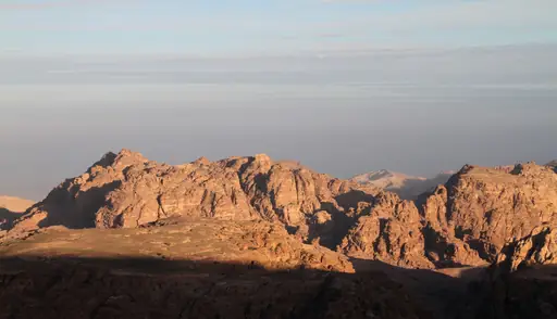
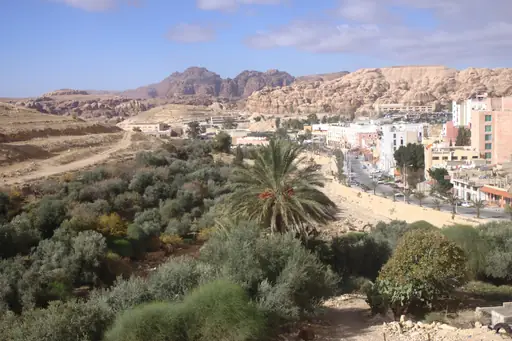
A trail of over 800 rock-cut steps climbs to the Monastery, Petra's largest carved facade. The path winds past smaller tombs and Bedouin stalls selling tea along the way. Walkers who reach the top get a wide view over the surrounding desert hills. Sunset draws fewer crowds than the earlier hours of the day.
Valley in United States
Grand Canyon
Majestic chasm carved by time
The Bright Angel Trail switchbacks down this Arizona canyon towards the Colorado River far below. Hikers descending must climb the same steep elevation on the return trip up. Rim to Rim hikers cross the entire canyon over one or two demanding days. Temperature differences between the rim and canyon floor can exceed 20 degrees.
Mountain in Tanzania
Mount Kilimanjaro
Africa's Roof, World's Highest Freestanding Volcano
The Machame route is the most popular of several paths up Kilimanjaro. It climbs through rainforest, moorland and alpine desert before reaching the glaciated summit. Climbers usually take six or seven days to help their bodies adjust to the altitude. Uhuru Peak, the highest point, sits at 5,895 metres.
Lake in Japan
Lake Kawaguchi
Mirror-like lake with the best Fuji views
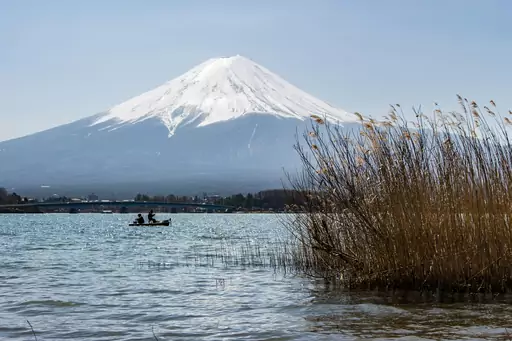
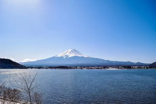
Trails around this Japanese lake offer some of the clearest reflected views of Mount Fuji. Hikers can walk the shoreline path or climb nearby hills for elevated views. Cherry blossoms line sections of the trail each spring near the water. The lake sits at the base of Fuji's popular Yoshida climbing route.
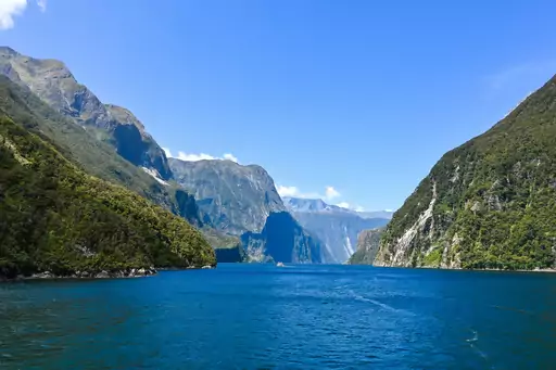
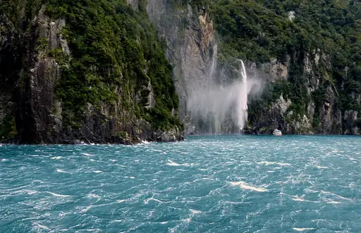
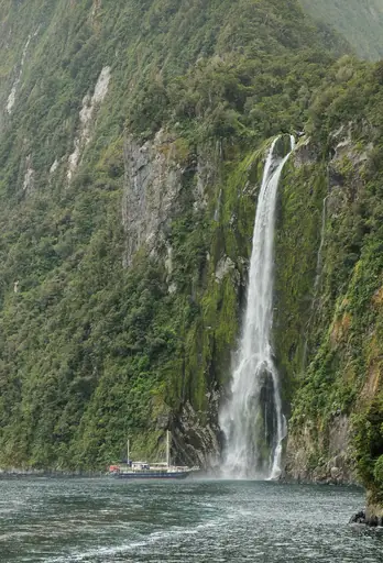
Fjord in New Zealand
Milford Sound
Breathtaking fiord of towering peaks
The Milford Track runs 53 kilometres through fiordland to reach the sound. It crosses Mackinnon Pass, a high point with views over glacier-carved valleys. Walkers pass waterfalls and rainforest before finishing at Milford Sound itself. Huts along the route mean hikers rarely need to carry a tent.
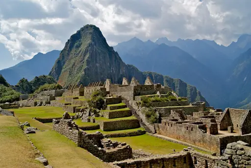
Archaeological Site in Peru
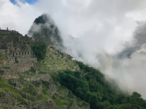
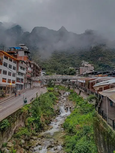
Machu Picchu
Lost Inca city among clouds
The classic Inca Trail covers about 43 kilometres of stone paths to reach the ruins. It climbs over Dead Woman's Pass at 4,215 metres before descending towards the site. Trekkers pass smaller ruins and cloud forest along the four-day route. Most arrive at the Sun Gate at dawn to see the citadel below.
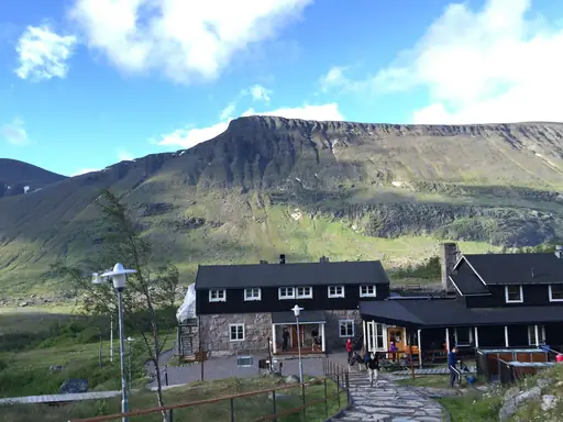
Peak in Sweden
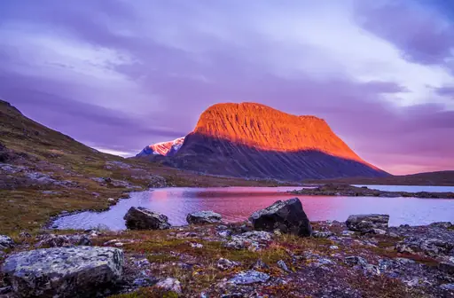
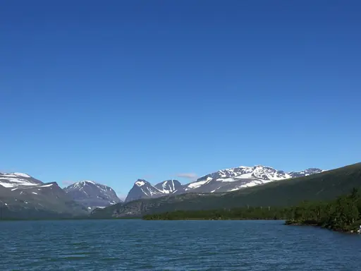
Kebnekaise nordtoppen
Sweden’s Highest Ice-Free Summit
This peak ranks as Sweden's highest point, reached by a multi-day trek through Lapland. Its glacier-covered north summit has shrunk enough that the south peak now stands taller. Hikers can base themselves at a mountain station before attempting the final ascent. Reindeer herds graze the valleys along the approach trail each summer.
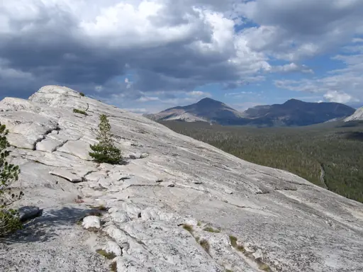
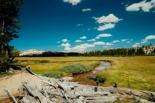
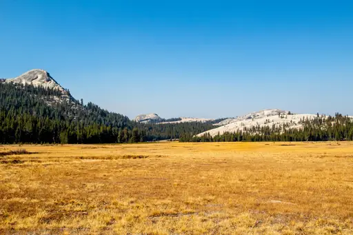
Wetland in United States
Tuolumne Meadows
Serene Alpine Meadow and River
This high alpine meadow sits along Yosemite's Tioga Road at nearly 8,600 feet. Trails radiate outward from here towards granite domes and subalpine lakes. Hikers can climb Lembert Dome for sweeping views over the open meadow below. Wildflowers fill the grassland each July once the heavy snowpack finally melts.
Cliff in Cape Town
Table Mountain
Cape Town’s Iconic Flat-Topped Wonder
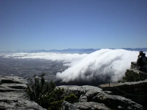
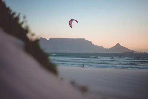
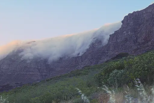
Platteklip Gorge climbs directly up this South African landmark's steep, exposed face. The trail gains nearly 3,000 feet in nearly a straight line from Cape Town below. Hikers can descend by cable car after reaching the flat summit plateau. Fynbos vegetation found nowhere else on Earth covers much of the mountainside.
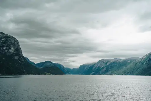
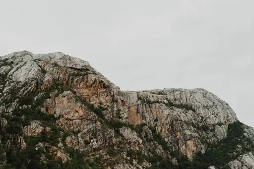
Fjord in Norway
Lysefjord
Norway’s Dramatic Fjord Escape
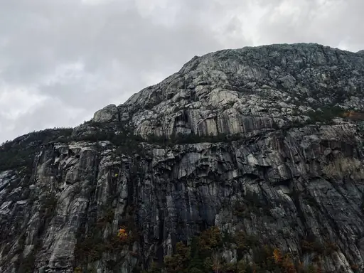
Preikestolen, a flat cliff called Pulpit Rock, juts out 600 metres above this Norwegian fjord. Hikers climb roughly four miles round trip over rocky, uneven terrain to reach it. Kjeragbolten, a boulder wedged between cliff walls, draws hikers further down the fjord. Both trails end with sheer drops straight into the water below.
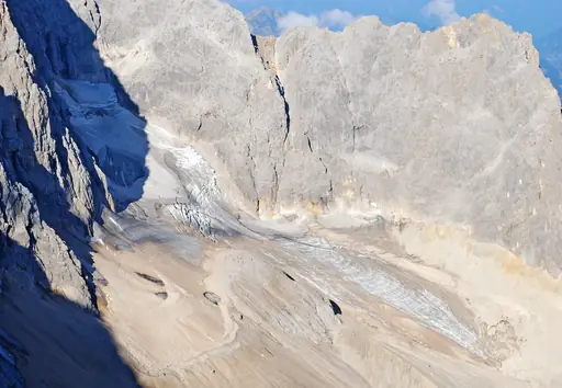
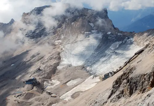
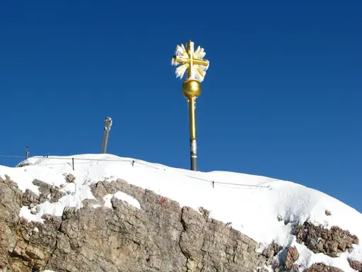
Peak in Germany
Zugspitze
Germany’s highest alpine summit
Trails climbing this German peak gain nearly 6,000 feet from the valley floor near Garmisch. Sections of via ferrata, fixed cable routes, help hikers navigate the steepest rock. Hikers can also ride a cable car partway to shorten the climb. Views from the summit stretch across four countries on clear days.
Other lists you may like
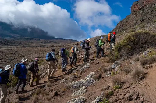
Discover
Best hiking destinations in Africa
Africa's hiking ranges from the glaciated summit zone of equatorial high peaks and the vast plateau trails of the south to rainforest routes in the centre and dramatic coastal…
Read more
Discover
Best hiking destinations in Asia
Asia offers some of the most varied and rewarding hiking terrain on earth, ranging from high altitude Himalayan trails and volcanic crater routes to ancient pilgrimage paths,…
Read more
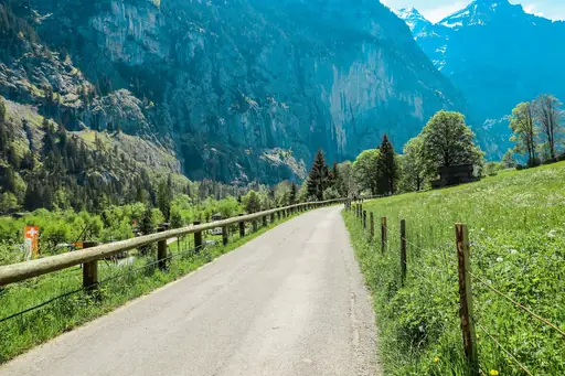
Discover
Best hiking destinations in Europe
Europe has one of the most developed long distance hiking cultures in the world, with a network of waymarked trails covering everything from high alpine routes and coastal paths to…
Read more
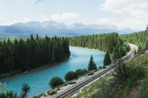
Discover
Best hiking destinations in North America
North America's hiking offer is defined by scale and wilderness, with trails passing through landscapes that dwarf anything found in more densely populated regions. From arctic…
Read more
Discover
Best hiking destinations in Oceania
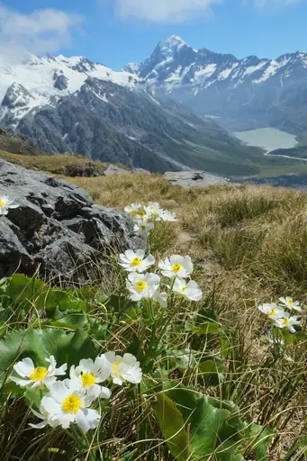
Oceania's hiking spans an enormous geographic range, from the ancient eroded ranges of Australia's interior and the dense rainforests of its tropical north to the dramatic alpine…
Read more
Discover
Best hiking destinations in South America
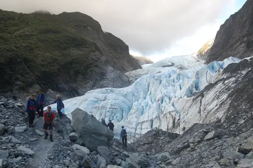
South America's hiking is shaped by extreme contrasts in altitude, climate and terrain. The Andes form the spine of the continent, offering everything from high-altitude desert…
Read more
What other users say about travelfilters
“travelfilters made it easy for me to find ski areas and compare what else they offer, so that I could find the best place for my personal travel style.”

Chris
Snowboarding & Onsen trip to Japan
“I love how transparent the data feels. There is no pushy upsell, just honest information and settings I can tune to my own travel style.”

Maria
After booking her 2027 winter escape
“The level of detail for each destination and how well those are displayed, make planning feel confident instead of overwhelming.”

Mina
Planned a week in New York City
“We used travelfilters for our planning from start to end. The trip turned out even better than expected, thanks to all their tools and customisation options.”

Allan & Etienne
Trip to Japan to see autumn foliage
“Thanks to travelfilters, I found some hidden gems to see. Being able to filter for exactly your interests is a game changer for my travel planning.”

Michael
Tour through the old cities of Northern Italy
“The customizable filters helped me find a quiet beach town with good wifi and low season crowds in under five minutes.”

Diego
Weekend Escape to Llanes, Spain
“The airport connection map saved me hours by showing good flight options from my home airport to lesser-known cities.”

Nguyen
Planning a 2027 trip to France
“The website is clean, fast and focused on the search itself, which makes travelfilters feel more like a professional tool than an ad-heavy booking site.”

Hassan
Christmas Market trip, Germany
