




















Was this page helpful?

These place ratings give you a quick overview of how well a destination matches different types of trips.
‘Best for’ scores:
The specific interest scores show where this place really shines – whether it's ideal for hiking, food & drink experiences, museums or other activities. These highlights help you understand what makes the destination special at a glance.
‘Your personal’ scores:
This reflects how well a place matches your personal preferences. You can adjust the importances of travel topics or other personal requirements categories in your account settings.
‘Suited for’ badges:
These give you a quick overview of how well a destination suits specific types of travellers, to help you find the places that match your lifestyle, preferences or travel situation.
| Power Grid: |
220 V, 50 Hz Plug: Type C , Type I
Type C:
  Read about power adapters |
|---|---|
| Currency: |
Argentine Peso (ARS) £1 ≈ ARS 2,048.06 |
| Cashless info: |
Rating 4/5
Cashless payments are widely accepted in larger cities, especially with credit and debit cards. However, cash is often preferred in smaller towns.
Save with a travel credit card |
| eSIM providers: |
Best value: Saily Flexibility: Airalo Read our in-depth comparison |
| Tipping: | In restaurants, a 10% tip is standard. Tipping in taxis is not required, but rounding up is common. |
|---|---|
| Public drinking: | Public drinking is legal but should be done responsibly. It is common in parks and beaches. |
| Public smoking: | Smoking is prohibited indoors in public spaces, but allowed in outdoor areas. |
| Argentina Independence Day (July) |
Expect public celebrations and some business closures. |
|---|---|
| Christmas (December) |
Expect closures and holiday events. |
| Emergency contact: | Emergency Numbers: 911 (Police), 107 (Ambulance), 100 (Fire) |
|---|---|
| Taxi apps: | Cabify, Uber, BA Taxi |
| Other: | Argentina is known for its vibrant culture, tango, and excellent cuisine, including steaks and wines. |
The best times to travel section shows how the months compare for a visit, so you can find the time of year that fits what you want to do.
Background colours of the months:
The colour shows the typical temperature: yellow (hot), green (mild) and blue (cold). How strong the colour is shows the travel season: full colour means high season, soft colour means shoulder season and soft-striped means off season.
Weather symbols:
Each month has one symbol showing what the weather is typically like, such as hot and sunny, freezing or a rainy or snowy season. Use them to quickly spot months that match the weather you want, or to avoid the ones that don't.
Crowdedness:
The people icon shows how busy the place usually is. The more people, the more crowded it gets.
Additional notes:
The grey info boxes point out special things worth knowing, like recurring weather issues or seasonal events.
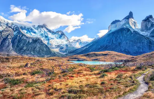
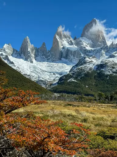
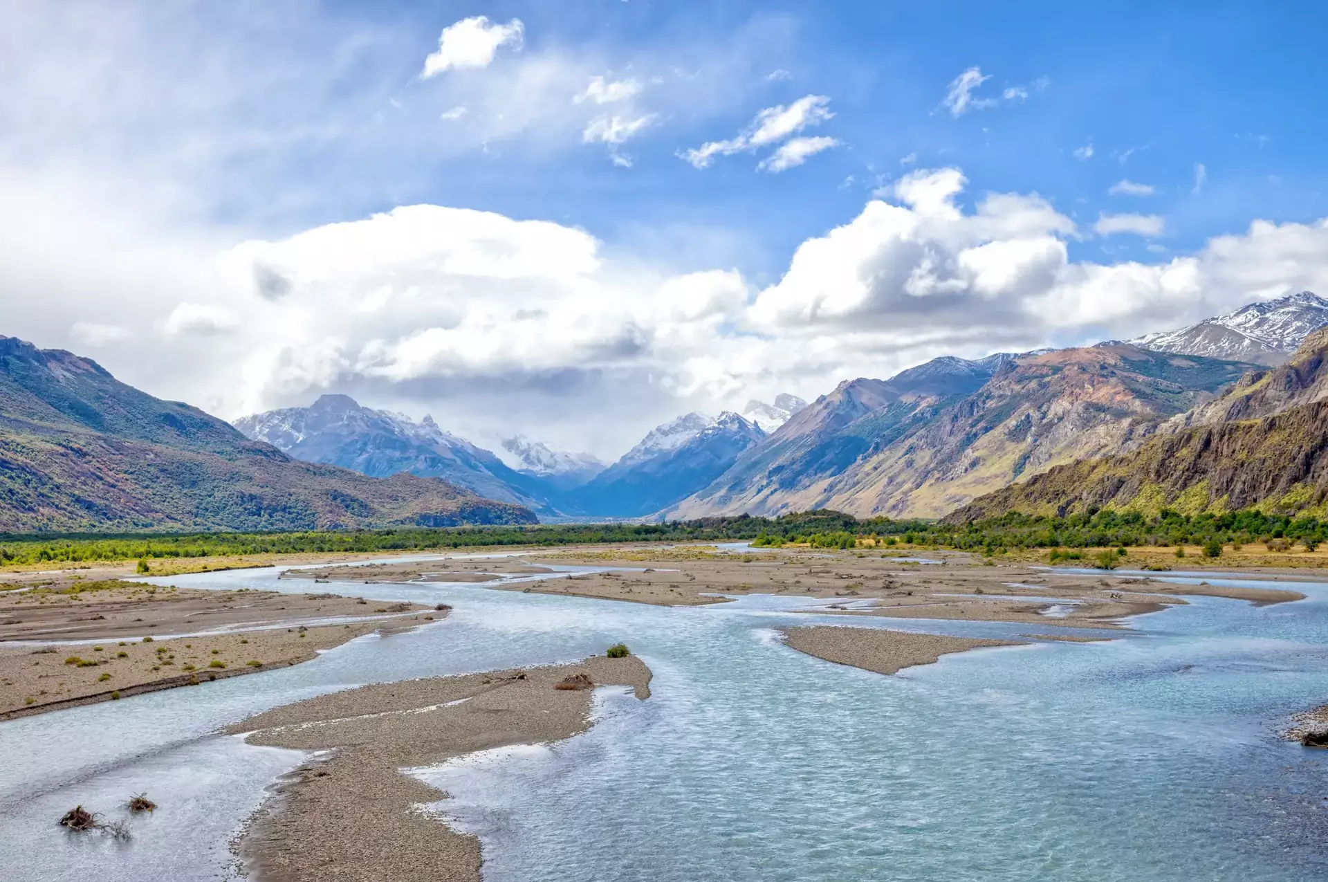
El Chaltén is home to some of Argentina’s most spectacular hiking trails, leading to iconic sights like Mount Fitz Roy and Laguna Torre. The town itself is a relaxed base with a backpacker-friendly vibe, perfect for adventurers. Trails are well-marked, making it easy to explore without a guide. However, the weather is unpredictable, with strong winds and sudden temperature drops. The town is remote, so services can be limited – come prepared with enough cash and provisions, especially in the off-season.
The nearest airport is El Calafate (FTE). - By Bus: Regular buses connect El Calafate and El Chaltén (3‑4 hours). - By Car: A scenic drive via Route 40 and Route 23 takes about 3 hours.
Accommodation ranges from hostels and budget lodges to cozy mountain hotels. Camping is also popular, with both free and paid campgrounds available for hikers.
We calculate the average costs when travelling to destinations and compare those with the living costs at your home. With this you can get an estimate of how expensive or cheap the destination is for you.
To customise this, you can set up which location and price level are used for the calculations in your account settings.
The exchange rate price factor shows how expensive or cheap a currency currently is compared to its historical average. It's a quick way to see if a country is currently more or less affordable due to exchange rate changes.
Log in to add this place to a travel list and get a summary of all recommended items for your whole trip.
