
Top scenic drives and road trip routes
Top scenic drives and road trip routes
Memorable road trips and scenic motorway routes
A great road trip has a rhythm all its own, built around the freedom to stop wherever looks interesting rather than sticking to someone else's schedule.
Some travellers want a coastal drive with the ocean in view for hours at a time, while others prefer winding mountain passes or long, empty desert roads where the horizon barely changes. A short loop that fits into a single day appeals to some, while others plan entire trips around a route that takes a week or more to finish properly. Music, podcasts and the occasional detour are as much a part of the experience as the scenery itself. Hiring the right car matters too, since comfort and reliability count for a lot when the drive itself is the whole point.
The destinations on our list cover that same range, from short scenic loops to the kind of route worth building an entire trip around.
Lists by region

Country
India
Palaces, temples, backwaters and Himalayan peaks
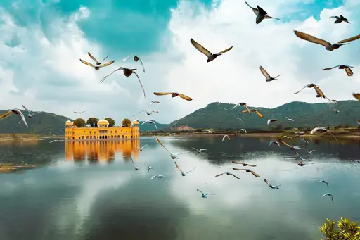
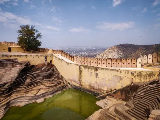
The Leh Manali Highway crosses five mountain passes above 13,000 feet in northern India. Snow closes this high altitude route for most of the year outside summer months. Drivers can stop at Pang or Sarchu, remote camps set up along the barren route. Prayer flags mark many of the highway's highest passes.
Region in Italy
Amalfi Coast
Italy's Coastal Gem
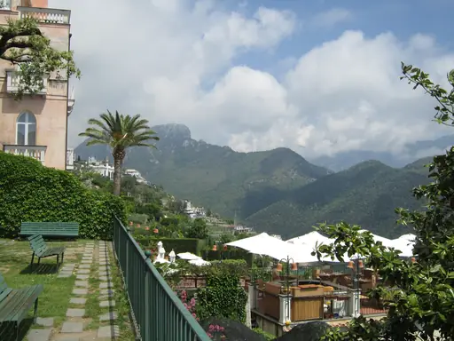
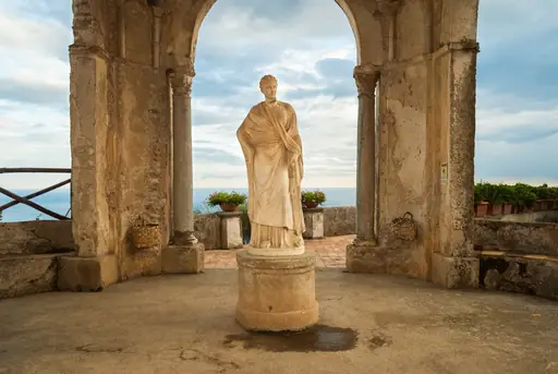
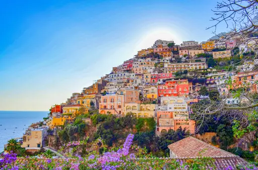
The SS163 highway hugs cliffs high above the sea along Italy's Amalfi Coast. Hairpin turns wind past lemon groves and pastel villages stacked on the hillsides. Drivers can pull off at scenic overlooks between towns like Positano and Ravello. Buses and cars often squeeze past each other on the narrowest curves.
Park in United States
Blue Ridge Parkway
Majestic mountain vistas and serene waterfalls
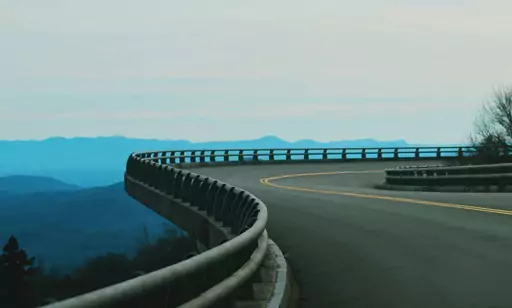
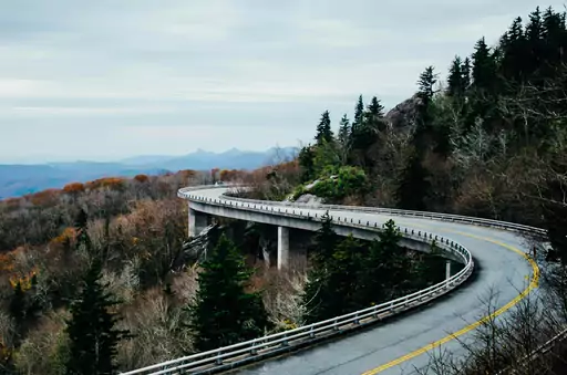
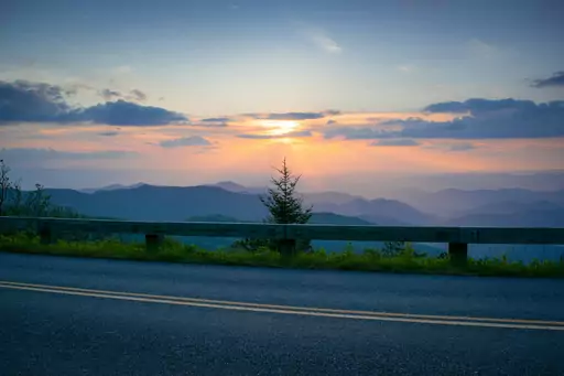
The Blue Ridge Parkway winds for 469 miles along the crest of the Appalachian Mountains. Congress banned commercial billboards along the entire route when it was built. Drivers can pull into dozens of overlooks framing layered mountain ridges in the distance. Autumn colour along the parkway peaks each October.


City in China
Lijiang
Ancient Charm and Mountain Majesty
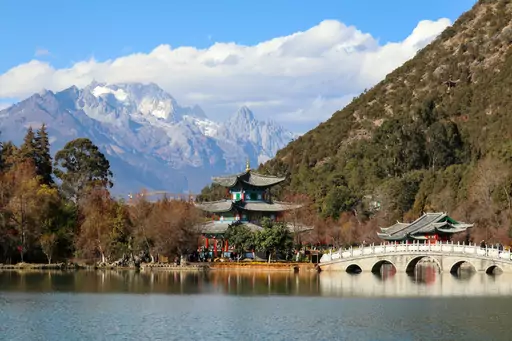
A cliffside road above Tiger Leaping Gorge traces one of the deepest canyons on Earth. The Jinsha River churns through the gorge below the roadway near Lijiang, Yunnan. Drivers can stop at marked viewpoints where the canyon narrows to its tightest point. Jade Dragon Snow Mountain rises snow capped above the route's stretch.
Road in South Africa
Garden Route
Scenic vineyards and coastal cliffs
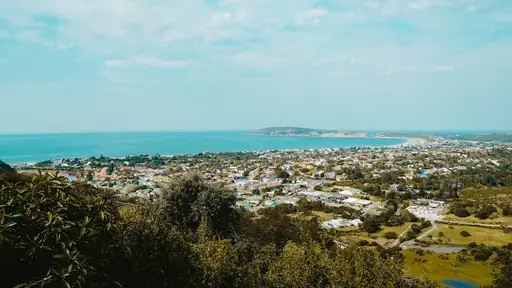
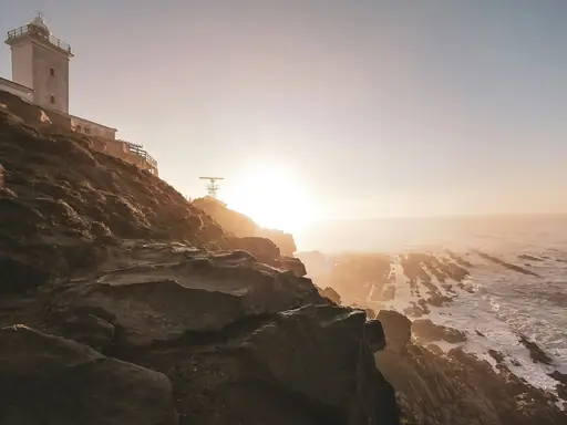
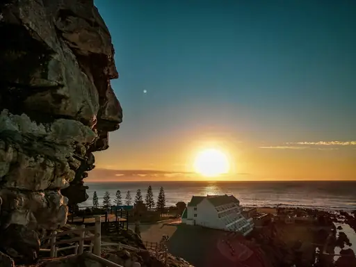
South Africa's Garden Route follows the N2 highway along roughly 120 miles of coastline. Ancient forests, lagoons and beaches alternate along the route between Mossel Bay and Storms River. Drivers can detour to Tsitsikamma's suspension bridge over a river gorge. Whales are sometimes visible from clifftop viewpoints during migration season.

National Park in United States
Glacier National Park
Crown of the Continent
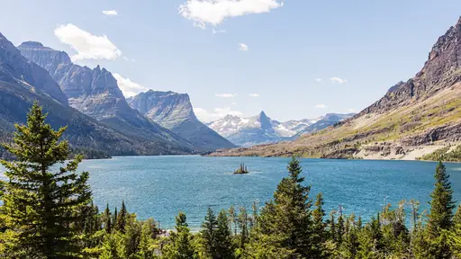
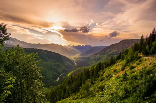
Glacier National Park's Going to the Sun Road climbs over the Continental Divide at Logan Pass. Engineers carved the road into cliffs during a decade of 1930s construction. Drivers can stop at overlooks framing turquoise lakes and hanging glaciers along the climb. Snow keeps the highest section closed until as late as June.
National Park in Canada
Jasper National Park
Untamed Wilderness and Starry Skies
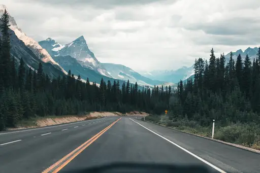
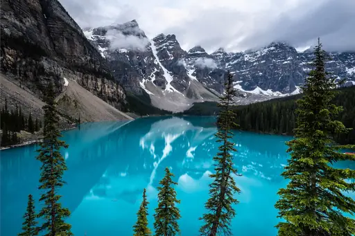
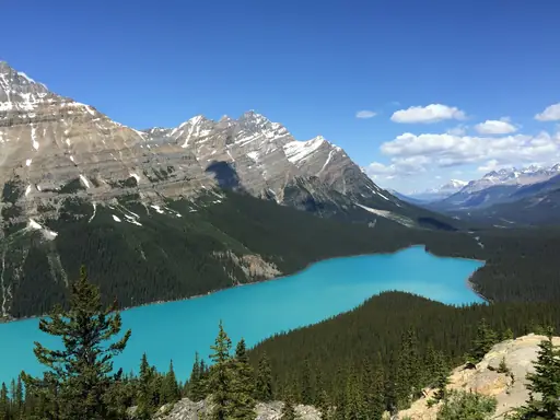
The Icefields Parkway connects Jasper and Banff national parks past glaciers and turquoise lakes. Engineers finished this Canadian Rockies route in 1940 after years of difficult construction. Drivers can stop at the Athabasca Glacier, where a short walk reaches the ice itself. Wildlife including bears and mountain goats often appear along the roadside.
Region in United Kingdom
Scottish Highlands
Rugged Beauty and Ancient Legends
The Bealach na Ba pass climbs steeply towards Applecross across Scotland's remote northwest Highlands. Hairpin switchbacks carry the narrow road above 2,000 feet in just a few miles. Drivers can pull into passing places to let oncoming traffic squeeze by on tight bends. Glencoe's dramatic valley lies along a separate stretch of Highland road.


City in Australia
Darwin
Tropical gateway to ancient wetlands and reefs
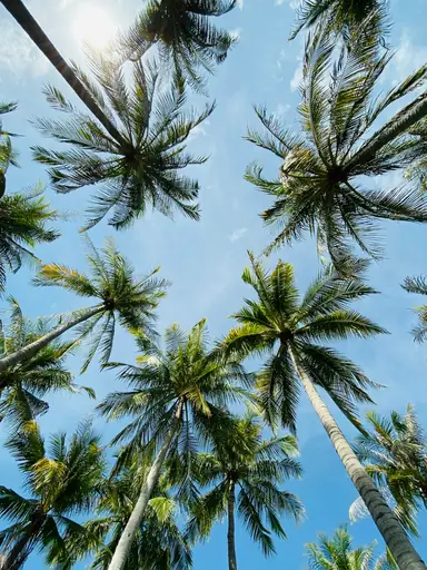
The Stuart Highway runs south from Darwin through hundreds of miles of open outback. Termite mounds taller than a person dot the roadside across the Northern Territory. Drivers can detour towards Kakadu National Park's wetlands and rock art sites nearby. Fuel stops along the highway can sit more than 100 miles apart.

City in Vietnam
Hue
Imperial Vietnam on the Perfume River
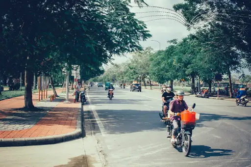
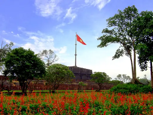
The Hai Van Pass climbs a coastal mountain ridge between Hue and Da Nang in central Vietnam. French colonial bunkers and a stone gate mark the pass's highest point. Drivers can look down over beaches and fishing villages from switchbacks along the climb. Clouds often blanket the summit even on clear coastal days below.
Village in United States
Carmel-by-the-Sea
European-style charm meets coastal beauty
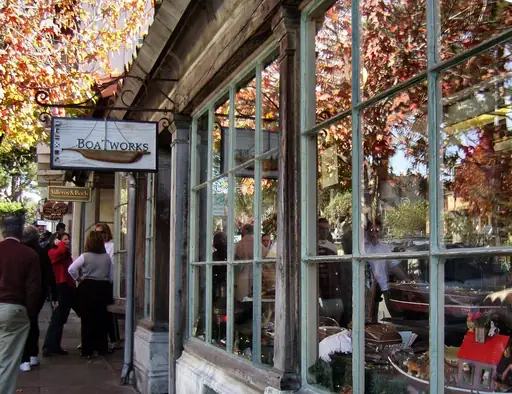
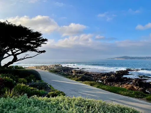
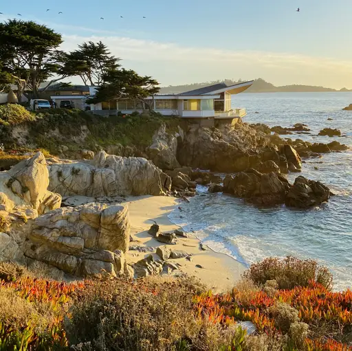
California's 17 Mile Drive winds past cypress trees and golf courses near Carmel by the Sea. A lone cypress clinging to a rocky point has become the route's best known landmark. Drivers can continue south onto Highway 1 towards the cliffs of Big Sur. A toll gate marks the entrance to the private scenic loop.
City in New Zealand
Christchurch
The Garden City of Adventure
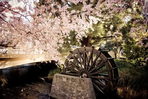
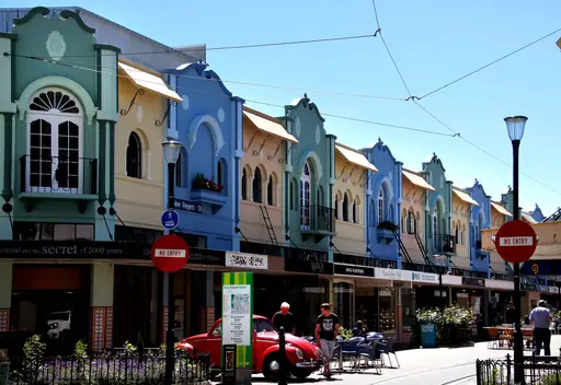
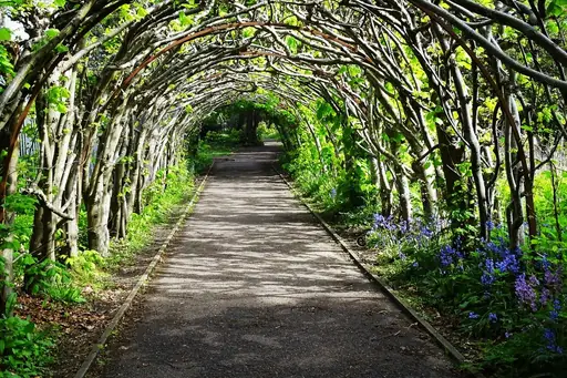
State Highway 73 climbs from Christchurch over Arthur's Pass through New Zealand's Southern Alps. Beech forest gives way to alpine scree slopes as the road gains elevation. Drivers can stop at Otira Viaduct for a wide view of the gorge below. The same route follows the path of the scenic TranzAlpine train.

City in Peru
Cusco
Gateway to the Incan Empire's Heart
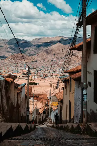
A mountain road from Cusco descends through Peru's Sacred Valley past Incan terraced fields. Switchbacks drop travellers from over 11,000 feet towards the valley floor below. Drivers can stop at the salt pans of Maras or the ruins of Moray along the way. Snow capped peaks remain visible for much of the drive.
City in Egypt
Aswan
Nile Islands, Nubian Culture, Golden Light
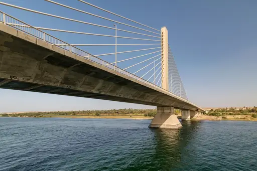
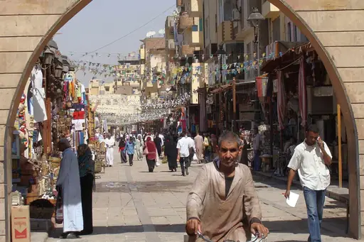
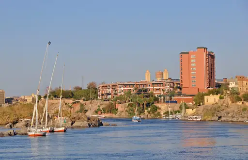
A desert road along the Nile links Aswan to ancient temples like Abu Simbel further south. Colourful Nubian villages line stretches of the route near the river's edge. Drivers can stop at riverside viewpoints to watch felucca sailboats drift past granite boulders. The road crosses the Aswan High Dam before continuing south.
Island in Canada
Cape Breton Island
Coastal charm meets rugged Atlantic scenery
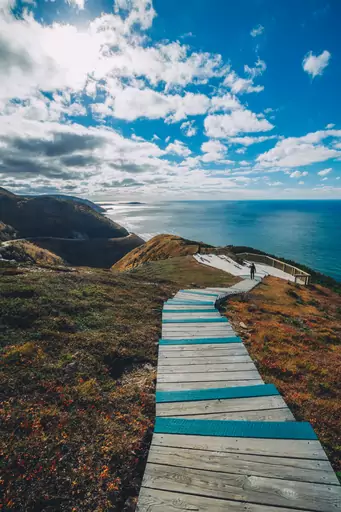
Nova Scotia's Cabot Trail loops around Cape Breton Island past cliffs, forest and open coastline. Engineers carved the road along the island's edge during the 1930s. Drivers can stop at overlooks where whales are sometimes visible offshore. Autumn foliage along the trail peaks in early October.

City in Brazil
Manaus
Amazon's gateway to lush rainforest adventures
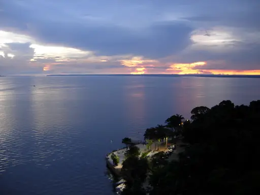
A jungle highway outside Manaus leads towards the meeting of waters, where two rivers run side by side. Dark and pale currents flow together for miles without fully mixing. Drivers can stop at riverside piers for boat trips into the surrounding Amazon. Flooding can wash out sections of the road during the wet season.
Mountain in Bolzano
Passo dello Stelvio
Majestic alpine vistas and historic passes
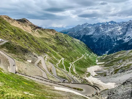
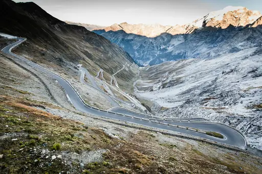
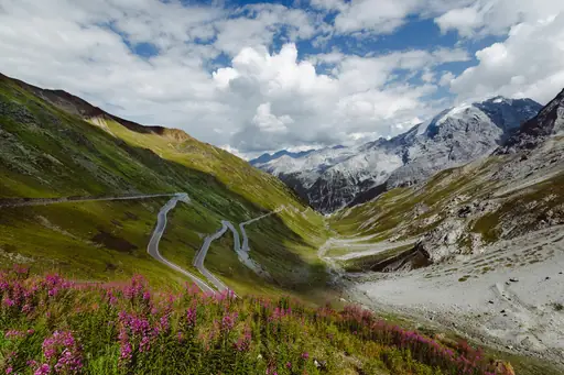
Italy's Stelvio Pass climbs through 48 numbered hairpin turns to reach nearly 9,000 feet. Cyclists and drivers alike test themselves against one of the Alps' most demanding roads. Drivers can stop at the summit for views stretching across three mountain ranges. Snow typically closes the pass from October through late spring.
Town in Ireland
Killarney
Ireland’s Adventure Gateway Town
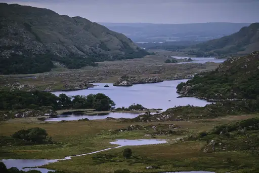
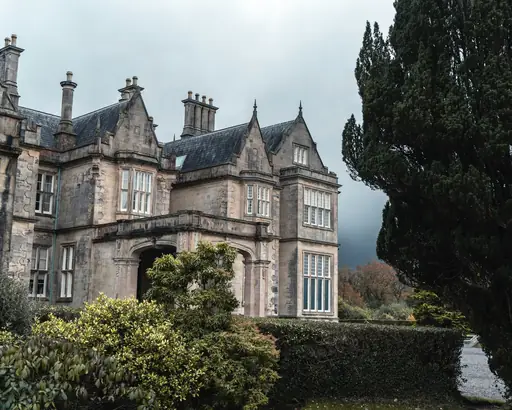
The Ring of Kerry loops for 111 miles around Ireland's Iveragh Peninsula near Killarney. Stone walls and sheep pastures line the narrow road as it climbs towards coastal cliffs. Drivers can stop at Ladies View for a wide look back over Killarney's lakes. Most tour buses travel the loop anticlockwise to avoid narrow blind curves.
Town in Germany
Rothenburg ob der Tauber
Step Into a Living Fairytale
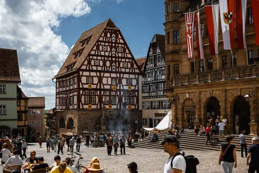
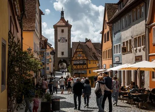
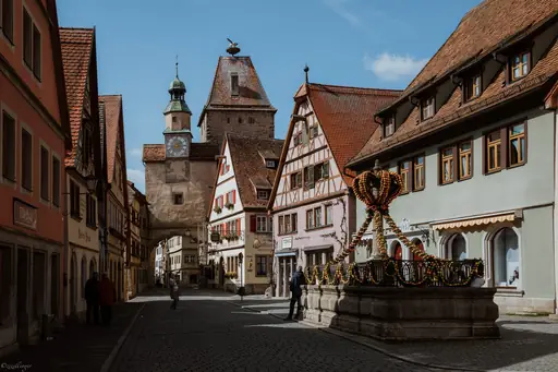
Germany's Romantic Road threads through half timbered towns like Rothenburg ob der Tauber. This 220 mile route was mapped out after World War Two to draw tourists to the region. Drivers can walk Rothenburg's preserved medieval wall before continuing along the route. Vineyards and castles line stretches of road further south towards the Alps.
City in United States
Boulder
Mountain high living amid vibrant outdoor culture
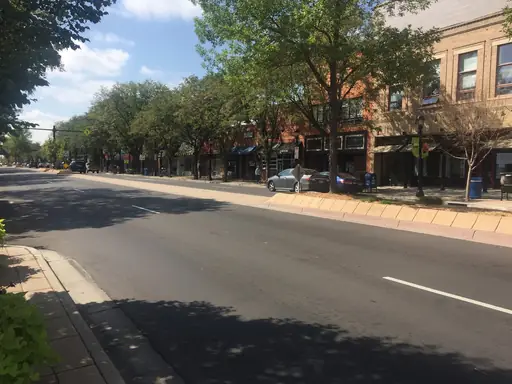
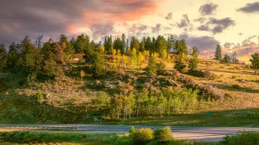
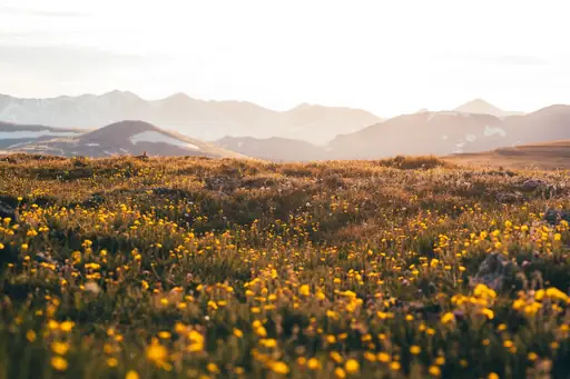
Colorado's Peak to Peak Highway climbs out of Boulder past the jagged red Flatirons rock formations. This route ranks among the oldest scenic byways designated in the United States. Drivers can continue towards Rocky Mountain National Park along the same winding road. Aspens turn bright gold along the highway each September.
Town in Switzerland
Zermatt
Alpine Magic and the Matterhorn
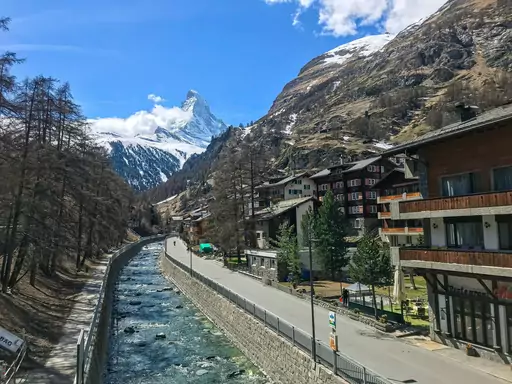
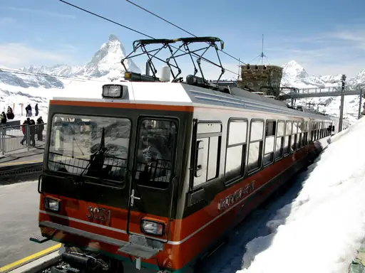
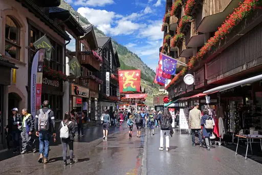
A winding alpine road climbs towards Zermatt before ending abruptly at a car free zone. Drivers must park in nearby Tasch and continue by train for the final stretch. The approach passes switchbacks with views towards the Matterhorn's jagged summit. Electric taxis handle all local transport once visitors reach the village itself.
Landmark in Sibiu
Transfăgărășan Highway
Scenic mountain route through Romania's heart
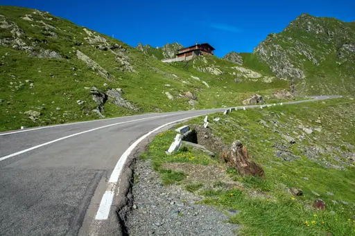
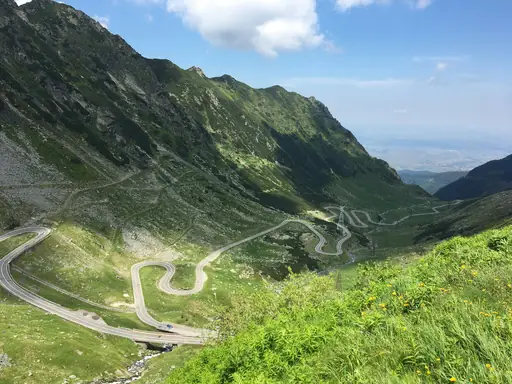
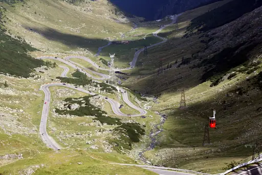
Romania's Transfagarasan Highway climbs to over 6,700 feet across the Fagaras Mountains. Communist era engineers built the road in the 1970s partly for military use. Drivers can stop at Balea Lake, a glacial lake sitting near the highest point. Snow closes the highest stretch of the highway for much of the year.
Country
Pakistan
Land of ancient heritage
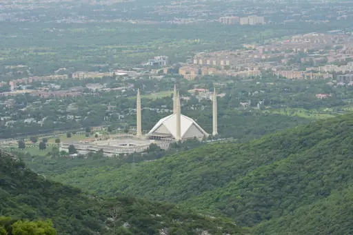
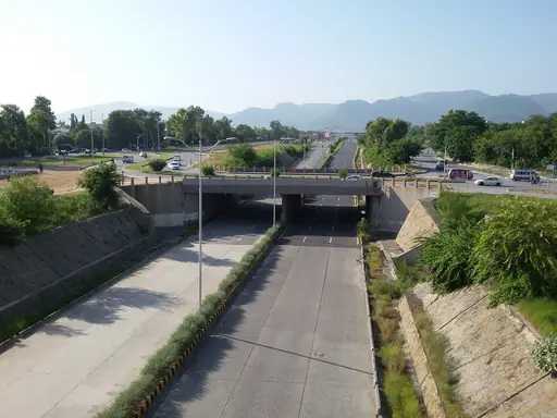
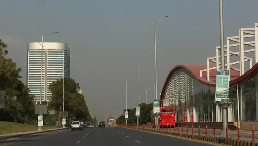
The Karakoram Highway climbs over 15,000 feet as it crosses from Pakistan into China. Engineers spent nearly two decades cutting the route through some of the world's highest mountains. Drivers can stop at Attabad Lake, a turquoise lake formed by a 2010 landslide. Snow closes the highest sections of the pass for much of winter.
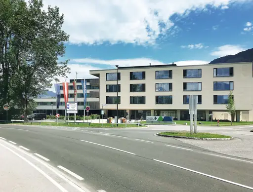
Town in Austria
Zell am See
Lakes, Mountains and Alpine Charm
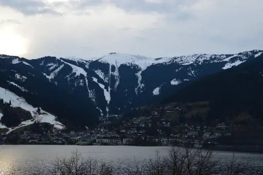
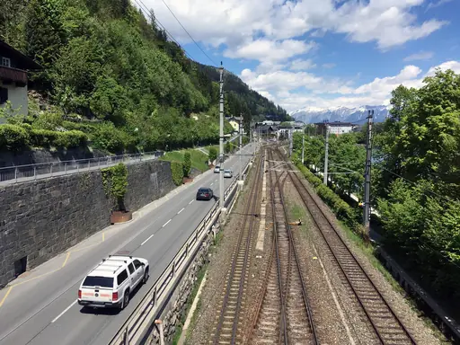
The Grossglockner High Alpine Road climbs above Zell am See towards Austria's tallest peak. Switchbacks wind past glaciers on a route built during the 1930s as a public works project. Drivers can stop at Franz Josefs Hohe for a close view of the Pasterze Glacier. The road closes each winter once snow blocks the pass.
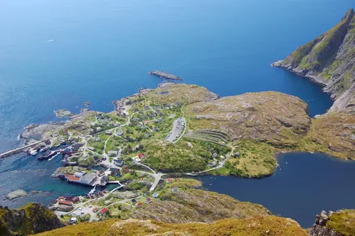
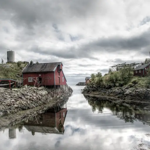
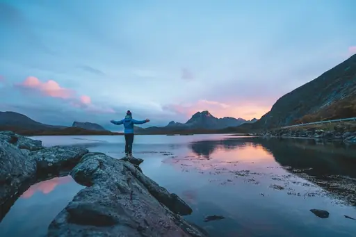
Island in Norway
Lofoten
Dramatic Peaks and Northern Lights
The E10 highway threads between sharp granite peaks across Norway's Lofoten Islands. Bridges and tunnels connect a chain of small islands along the route's northern stretch. Drivers can stop at red fishing villages like Reine for classic Lofoten views. Midnight sun keeps the route lit for driving through much of summer.
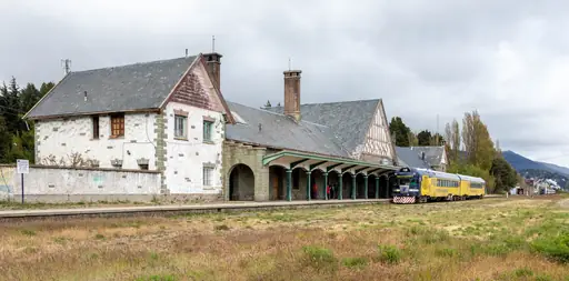
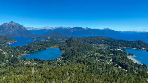
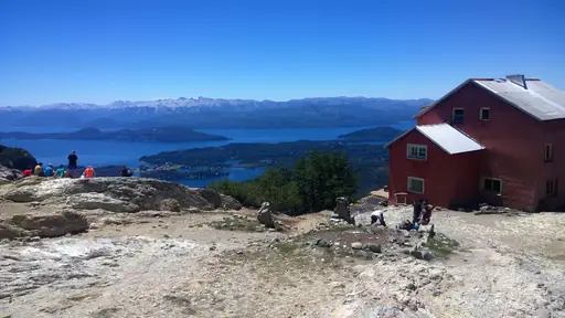
City in Argentina
San Carlos de Bariloche
Argentina’s Alpine Wonderland
The Route of the Seven Lakes links Bariloche to San Martin de los Andes through Patagonia. Forested mountains and turquoise lakes alternate along nearly every curve of the drive. Drivers can stop at overlooks above Lake Nahuel Huapi near the route's southern end. Autumn colour along the road peaks each April and May.
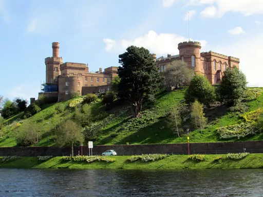
City in United Kingdom
Inverness
Highland Gateway, Castles and Loch Ness
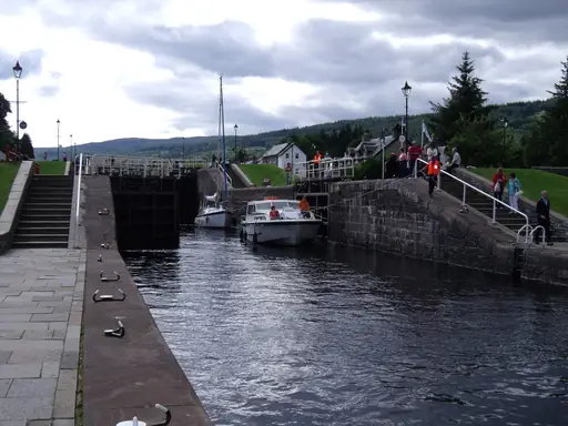
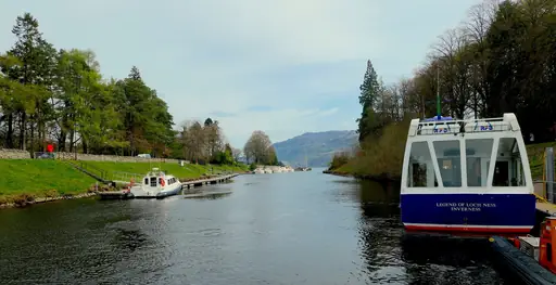
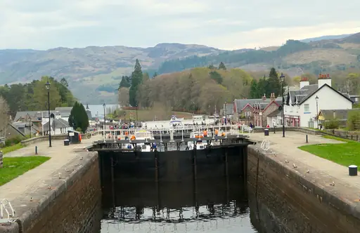
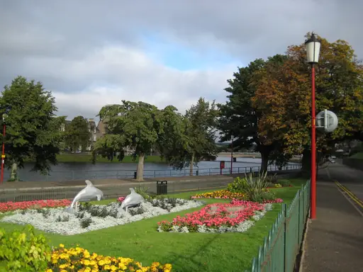
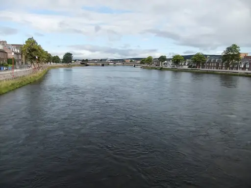
Inverness anchors Scotland's North Coast 500, a 516 mile loop around the Highlands. Single track roads pass lochs, castles and coastline along the way. Drivers can stop at Loch Ness for a view before continuing north towards remote beaches. The route has drawn comparisons to famous American road trips since its 2015 launch.
City in Argentina
Salta
Colonial Charm and Andean Landscapes
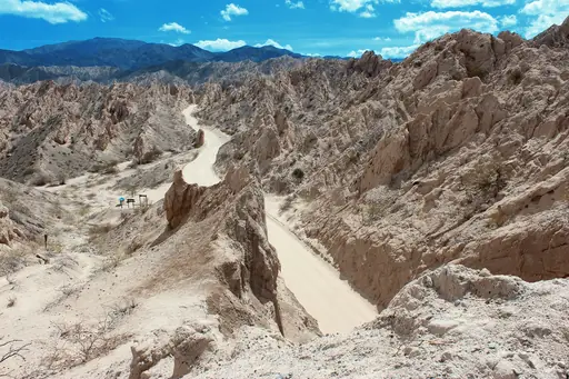
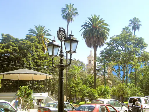
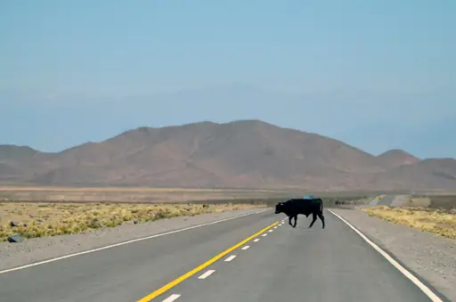
Route 68 winds south from Salta through the red rock canyon of Quebrada de Cafayate. Wind and water carved formations here into shapes with names like the Devil's Throat. Drivers can stop at roadside stands selling wine from the valley's high altitude vineyards. The canyon's colours shift with the light throughout the day.
National Park in United States
Denali National Park
Wild Alaska’s peaks and wildlife
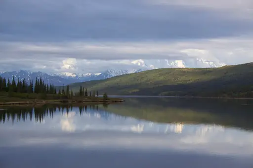
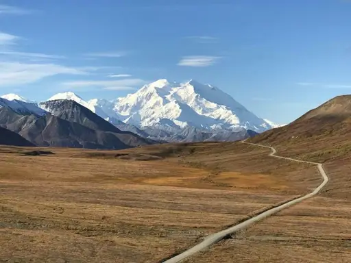
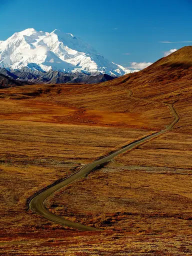
Denali National Park's single 92 mile road carries most visitors only partway by private vehicle. Shuttle buses cover the remaining stretch past tundra where the mountain sometimes appears. Drivers can spot grizzly bears, caribou and Dall sheep along the roadside. Clouds hide North America's tallest peak on most days of the year.
City in Peru
Puno
Lakeside town where cultures converge
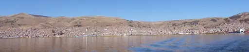
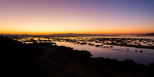
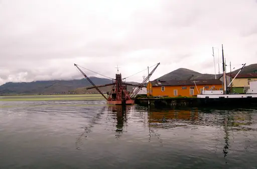
A lakeside road from Puno follows the shore of Titicaca, the world's highest navigable lake. Reed islands built by the Uros people float just offshore along parts of the route. Drivers can stop at viewpoints overlooking the lake's deep blue water and distant peaks. Alpaca herds graze on the altiplano grasslands bordering the highway.
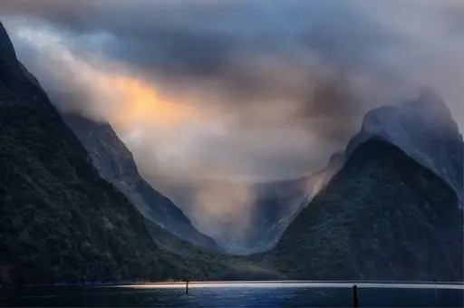
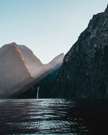
Fjord in New Zealand
Milford Sound
Breathtaking fiord of towering peaks
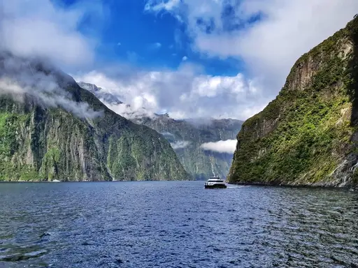
Milford Road winds through Fiordland National Park past cliffs, waterfalls and a mountain tunnel. Avalanches can close sections of this route during the winter months. Drivers can stop at the Chasm, where a short trail leads to a churning waterfall. The road ends at the fjord, framed by the Mitre Peak cliff face.
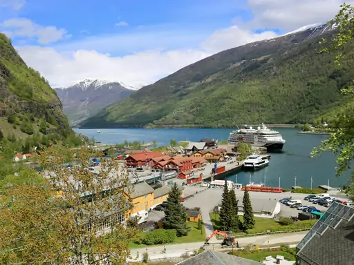
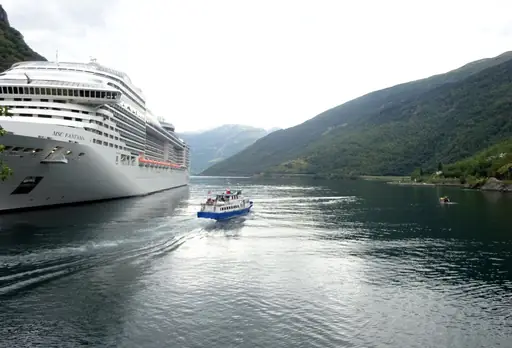
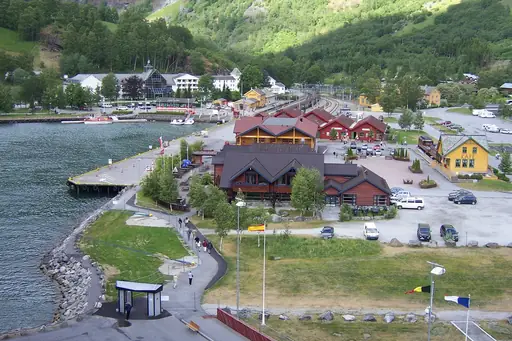
Village in Norway
Flåm
Fjord Dreams and Railway Magic
The road above Flam climbs the Stalheimskleiva, a stretch of thirteen tight hairpin turns. Waterfalls drop directly beside the pavement as the route gains elevation quickly. Drivers can also ride the nearby Flam railway, one of the steepest standard gauge lines on Earth. Fjord views open up at several pullouts along the climb.
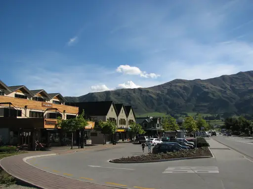
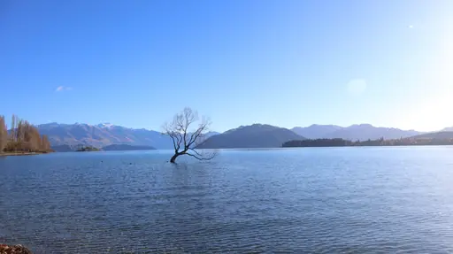
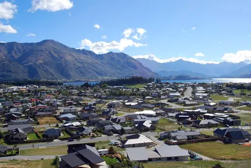
Town in New Zealand
Wanaka
Alpine Adventure, Lakeside Serenity
The Crown Range Road climbs to New Zealand's highest sealed mountain pass between Wanaka and Queenstown. Switchbacks wind past tussock covered hills above 3,600 feet in elevation. Drivers can stop at viewpoints looking back over Lake Wanaka's turquoise water. Snow occasionally closes the pass during winter storms.
City in Morocco
Ouarzazate
Gateway to the Sahara & Cinema
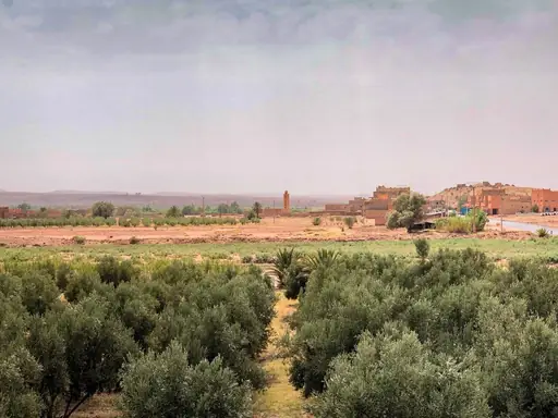
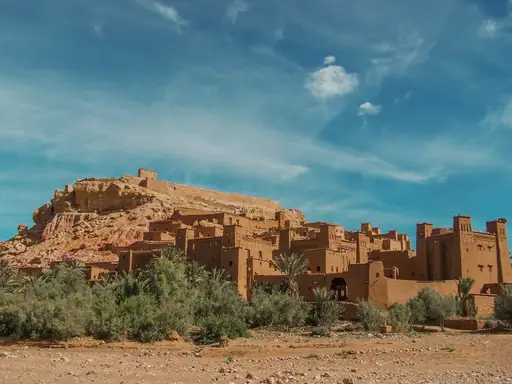
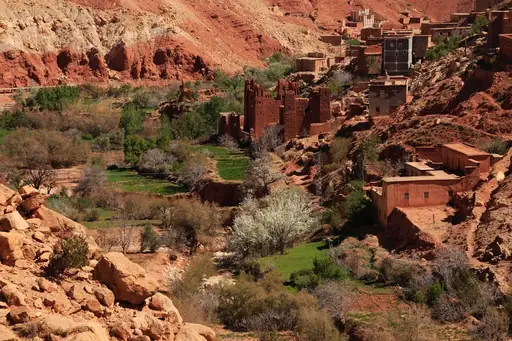
A desert highway from Ouarzazate passes ancient kasbahs and Morocco's largest film studios. Filmmakers have used the region's dramatic scenery as a backdrop for decades. Drivers can continue towards the Sahara's edge near Merzouga's towering dunes. Roadside stalls sell fossils dug from the surrounding rock formations.
City in Switzerland
St. Moritz
Alpine Glamour and Winter Magic
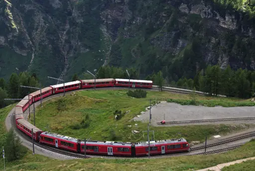
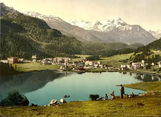
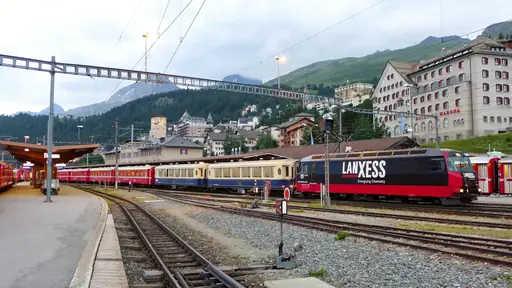
A mountain pass above St Moritz climbs towards the Bernina range's glaciers and turquoise lakes. This route follows a similar path to the famous Bernina Express train line. Drivers can stop at Lago Bianco, a reservoir that shifts colour with the seasons. Snow can close the highest stretch of the pass outside summer months.
Town in Canada
Squamish
Mountain‑coast escape with breathtaking vistas
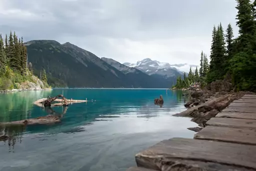
The Sea to Sky Highway links Vancouver to Whistler along cliffs above Squamish's fjord. Engineers widened much of the route ahead of the 2010 Winter Olympics. Drivers can stop at Shannon Falls, one of British Columbia's tallest waterfalls, along the way. Rock climbers often dot the granite cliffs visible from the road.
Town in Namibia
Swakopmund
Coastal charm meets desert horizons
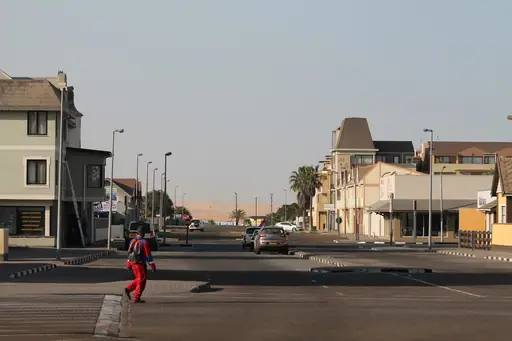
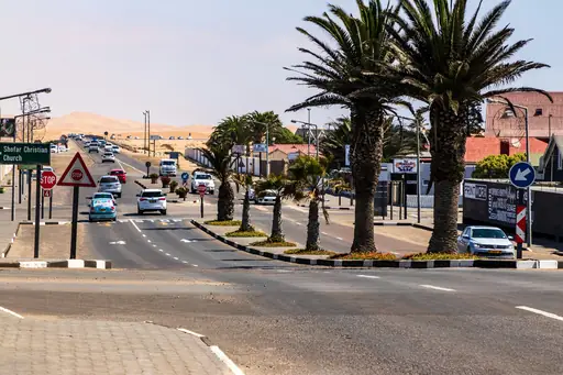
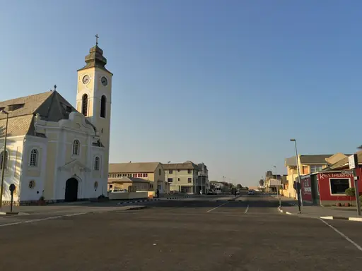
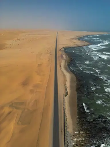
A coastal road north of Swakopmund runs along Namibia's aptly named Skeleton Coast. Shipwrecks rusting in the sand mark stretches where ships once ran aground in thick fog. Drivers can stop at seal colonies gathered along the shoreline near Cape Cross. Sand dunes press right up against the road in several places.
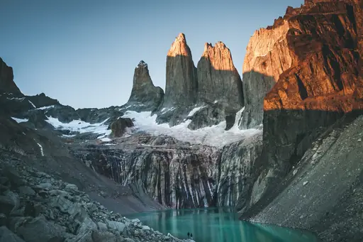
National Park in Chile
Torres del Paine National Park
Epic Landscapes and Untamed Wilderness
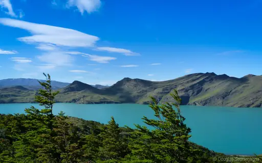
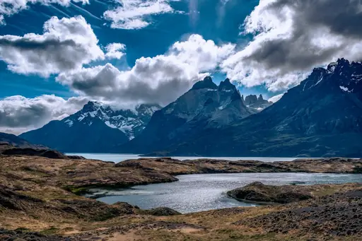
A gravel loop road circles much of Chile's Torres del Paine National Park. Granite towers and turquoise glacial lakes appear at nearly every turn along the route. Drivers can stop at viewpoints looking towards the park's namesake spires from a distance. Strong Patagonian winds can make driving the route challenging on exposed stretches.
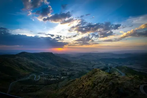
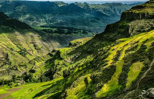
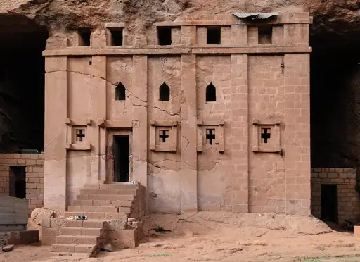
Historic Site in Ethiopia
Lalibela
Stone churches echoing centuries of faith
A winding mountain road climbs through Ethiopia's highlands to reach the rock churches of Lalibela. Switchbacks pass terraced fields farmed on slopes above 8,000 feet. Drivers can stop at roadside viewpoints looking out over deep highland gorges. The route can wash out during the region's summer rainy season.
City in Zambia
Livingstone
Gateway to Victoria Falls Adventure
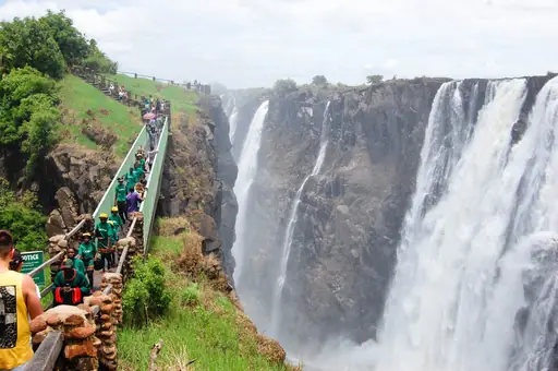
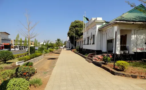
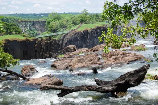
A road from Livingstone runs alongside the Zambezi River towards the spray of Victoria Falls. Elephants and other wildlife sometimes cross directly in front of passing vehicles. Drivers can stop at viewpoints where mist from the falls rises visibly above the treeline. The route also connects towards border crossings into Zimbabwe and Botswana.
Region in Vietnam
Ha Giang
Vibrant terraced rice fields and misty mountains
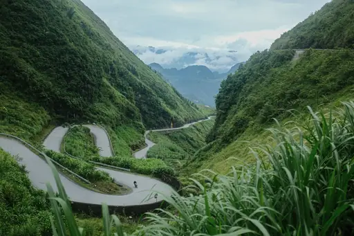
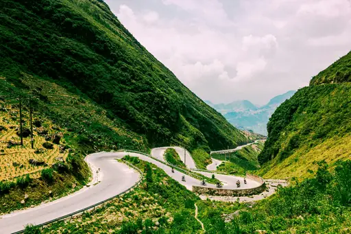
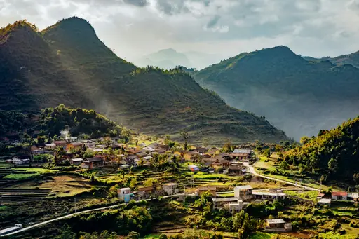
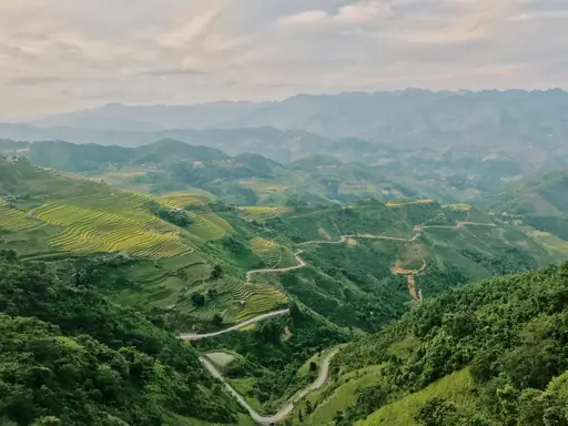
The Ha Giang Loop winds through limestone peaks along Vietnam's border with China. Ma Pi Leng Pass carries the route along a cliffside carved partly by hand in the 1960s. Drivers can stop at overlooks above the Nho Que River's turquoise water far below. Motorbikes far outnumber cars along this remote northern route.
National Park in Botswana
Chobe National Park
Elephant Haven in Botswana
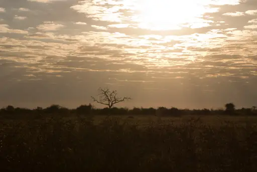
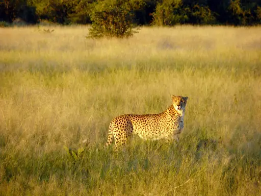
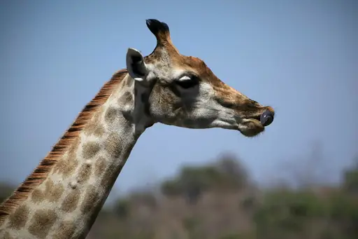
A riverside track through Chobe National Park follows the water where some of Africa's largest elephant herds gather. Drivers can spot hippos and crocodiles along the Chobe River's grassy banks. Game vehicles often pause to let herds cross the dirt road directly ahead. The park holds one of the continent's densest elephant populations.
Region in Chile
Carretera Austral
Endless Patagonian horizons under starlit skies
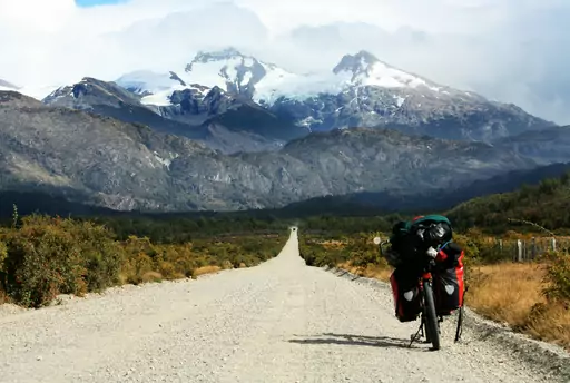
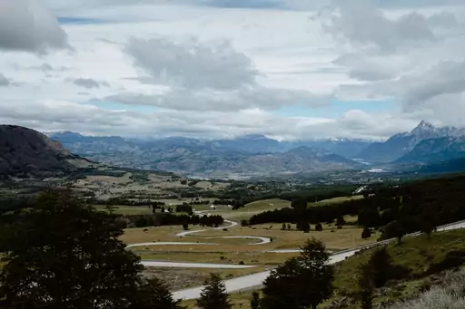
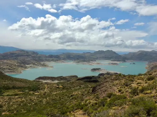
Chile's Carretera Austral runs for more than 770 miles through remote Patagonian wilderness. Much of the highway remained unpaved gravel for decades after its 1976 construction began. Drivers can stop at glaciers, fjords and forests along one of South America's most isolated roads. Ferries fill gaps where the road doesn't yet connect across water.
Village in Switzerland
Andermatt
Alpine Adventure Awaits You
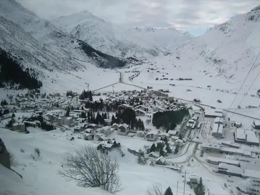
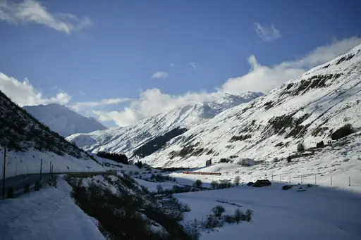
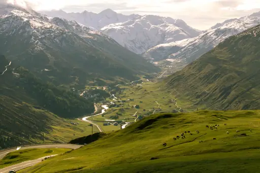
Andermatt sits at the crossroads of several high alpine passes including the Furka and Gotthard. Switchbacks climb towards glaciers and mountain lakes above the tree line. Drivers can follow the Furka Pass route used in the James Bond film Goldfinger. Snow closes most of these mountain roads from late autumn through spring.

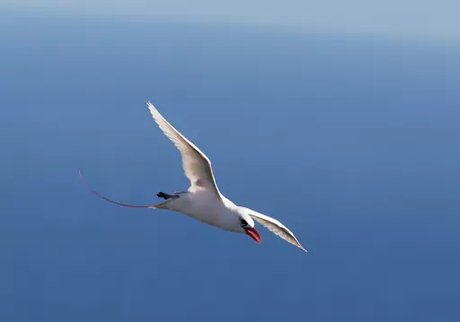
Island in Australia
Lord Howe Island
Secluded paradise with crystal reefs and cliffs
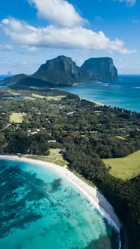
Lord Howe Island limits cars to just 25 on the island at any time. Most visitors instead explore the narrow coastal roads by bicycle. Drivers or cyclists can pedal past palm forests towards the twin peaks of Mount Gower. Speed limits across the island stay capped at 25 kilometres per hour.
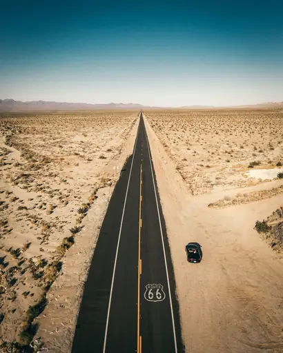
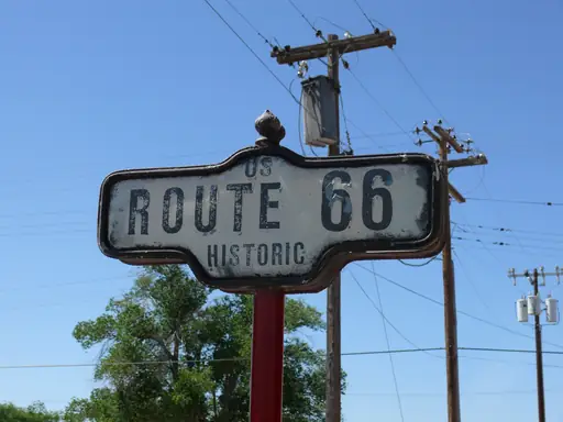
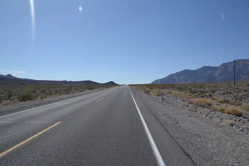
Road in Flagstaff
Route 66
Dusty highways echo with vintage Americana
Route 66 passes through Flagstaff along one of America's most storied highways. Neon signs from mid century motels and diners still line stretches of the original road. Drivers can stop at small towns that boomed and later declined once the interstate bypassed them. Painted Desert scenery opens up along nearby sections of the route.

Nature Reserve in Ireland
Kerry International Dark Sky Reserve
Starlit horizons over Ireland’s rugged coast
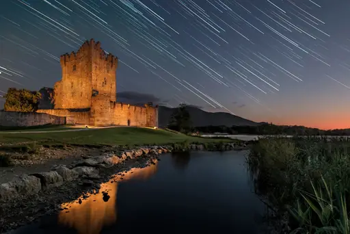
Roads through Ireland's Kerry Dark Sky Reserve run largely free of light pollution. This stretch of the Iveragh Peninsula earned recognition for its exceptionally clear night skies. Drivers can pull off at designated viewing points to look up at the Milky Way. Stone walls and grazing sheep line much of the narrow coastal route.
Road in United Kingdom
North Coast 500
Scenic cliffs and rugged coastlines
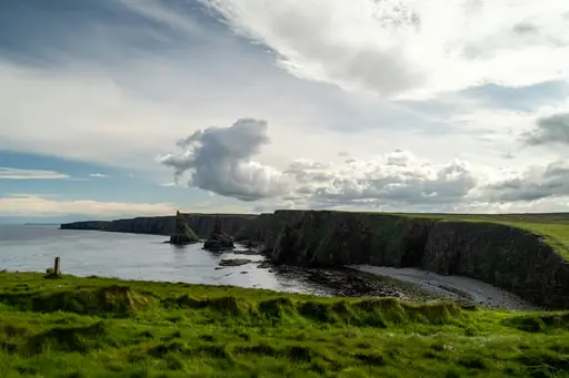
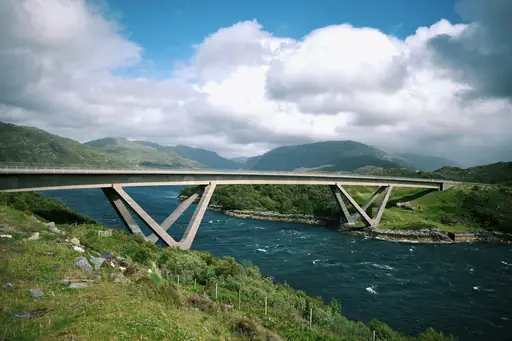
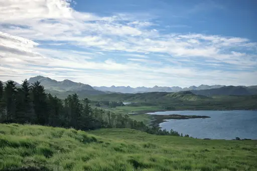
Scotland's North Coast 500 loops for 516 miles around the far north Highlands from Inverness. Single track roads pass ruined castles and remote sea lochs along the route. Drivers can stop at Durness or Applecross for some of the loop's most dramatic coastal views. Passing places along narrow stretches let oncoming cars squeeze by safely.
Other lists you may like
Discover
Best scenic drive destinations in Africa
Road trips across Africa often mean covering serious distance, with some of the most memorable drives found in countries built around wide open, well maintained roads. Namibia…
Read more
Discover
Best scenic drive destinations in Asia
Road trips are a less obvious tradition in parts of Asia, where trains often do the heavy lifting, but a handful of routes have become classics in their own right. Vietnam's Ha…
Read more
Discover
Best scenic drive destinations in Europe
Europe has no shortage of famous drives, with countries packed closely enough together that a single road trip can cross several borders in a week. Norway's coastal roadsmwind…
Read more
Discover
Best scenic drive destinations in North America
North America practically invented the modern road trip, with wide open highways built for exactly this kind of travel. California's coastline has become one of the country's…
Read more

Discover
Best scenic drive destinations in Oceania
Oceania offers some of the most photographed drives anywhere, with roads that hug coastlines and cut through striking mountain scenery in equal measure. Australia's Great Ocean…
Read more
Discover
Best scenic drive destinations in South America
South America has real appeal for road trippers willing to cover serious distance, with some of its best drives stretching across entire regions rather than a single afternoon.…
Read more
What other users say about travelfilters
“travelfilters made it easy for me to find ski areas and compare what else they offer, so that I could find the best place for my personal travel style.”

Chris
Snowboarding & Onsen trip to Japan
“I love how transparent the data feels. There is no pushy upsell, just honest information and settings I can tune to my own travel style.”

Maria
After booking her 2027 winter escape
“The level of detail for each destination and how well those are displayed, make planning feel confident instead of overwhelming.”

Mina
Planned a week in New York City
“We used travelfilters for our planning from start to end. The trip turned out even better than expected, thanks to all their tools and customisation options.”

Allan & Etienne
Trip to Japan to see autumn foliage
“Thanks to travelfilters, I found some hidden gems to see. Being able to filter for exactly your interests is a game changer for my travel planning.”

Michael
Tour through the old cities of Northern Italy
“The customizable filters helped me find a quiet beach town with good wifi and low season crowds in under five minutes.”

Diego
Weekend Escape to Llanes, Spain
“The airport connection map saved me hours by showing good flight options from my home airport to lesser-known cities.”

Nguyen
Planning a 2027 trip to France
“The website is clean, fast and focused on the search itself, which makes travelfilters feel more like a professional tool than an ad-heavy booking site.”

Hassan
Christmas Market trip, Germany
