




Was this page helpful?

| Power Grid: |
220 V, 50 Hz Plug: Type C , Type L
Type C:
  Read about power adapters |
|---|---|
| Currency: |
Chilean Peso (CLP) £1 ≈ CLP 1,306 |
| Cashless info: |
Rating 5/5
Cashless payments are widely accepted in Chile, particularly in cities and tourist areas. Credit and debit cards are commonly used.
Save with a travel credit card |
| eSIM providers: |
Best value: Saily Flexibility: Airalo Read our in-depth comparison |
| Tipping: | Tipping is appreciated in Chile but not mandatory. A 10% tip is typical in restaurants. Taxi drivers and hotel staff also appreciate small tips for good service. |
|---|---|
| Public drinking: | Public drinking is generally allowed in designated areas, but it is illegal to drink alcohol on the streets in some cities. It is best to consume alcohol in licensed venues. |
| Public smoking: | Smoking is prohibited in indoor public spaces, including restaurants, bars, and public transport. |
| Fiestas Patrias (18–19 September) |
National holiday celebrating Chile's independence with parades and festivities |
|---|---|
| Christmas (25 December) |
Celebrated with family gatherings and festive meals |
| Emergency contact: | Emergency Numbers: 133 (Police), 131 (Ambulance), 132 (Fire) |
|---|---|
| Taxi apps: | Uber, Cabify |
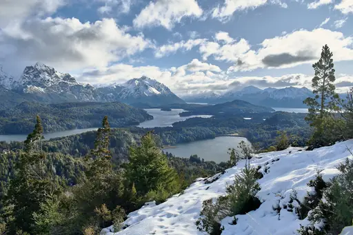
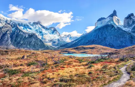
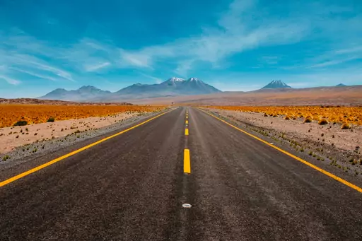
| Other: | Chile is famous for its natural beauty, including the Andes mountains, Atacama Desert, and Patagonia. It is a top destination for adventure tourism and outdoor activities. |
The best times to travel section shows how the months compare for a visit, so you can find the time of year that fits what you want to do.
Background colours of the months:
The colour shows the typical temperature: yellow (hot), green (mild) and blue (cold). How strong the colour is shows the travel season: full colour means high season, soft colour means shoulder season and soft-striped means off season.
Weather symbols:
Each month has one symbol showing what the weather is typically like, such as hot and sunny, freezing or a rainy or snowy season. Use them to quickly spot months that match the weather you want, or to avoid the ones that don't.
Crowdedness:
The people icon shows how busy the place usually is. The more people, the more crowded it gets.
Additional notes:
The grey info boxes point out special things worth knowing, like recurring weather issues or seasonal events.
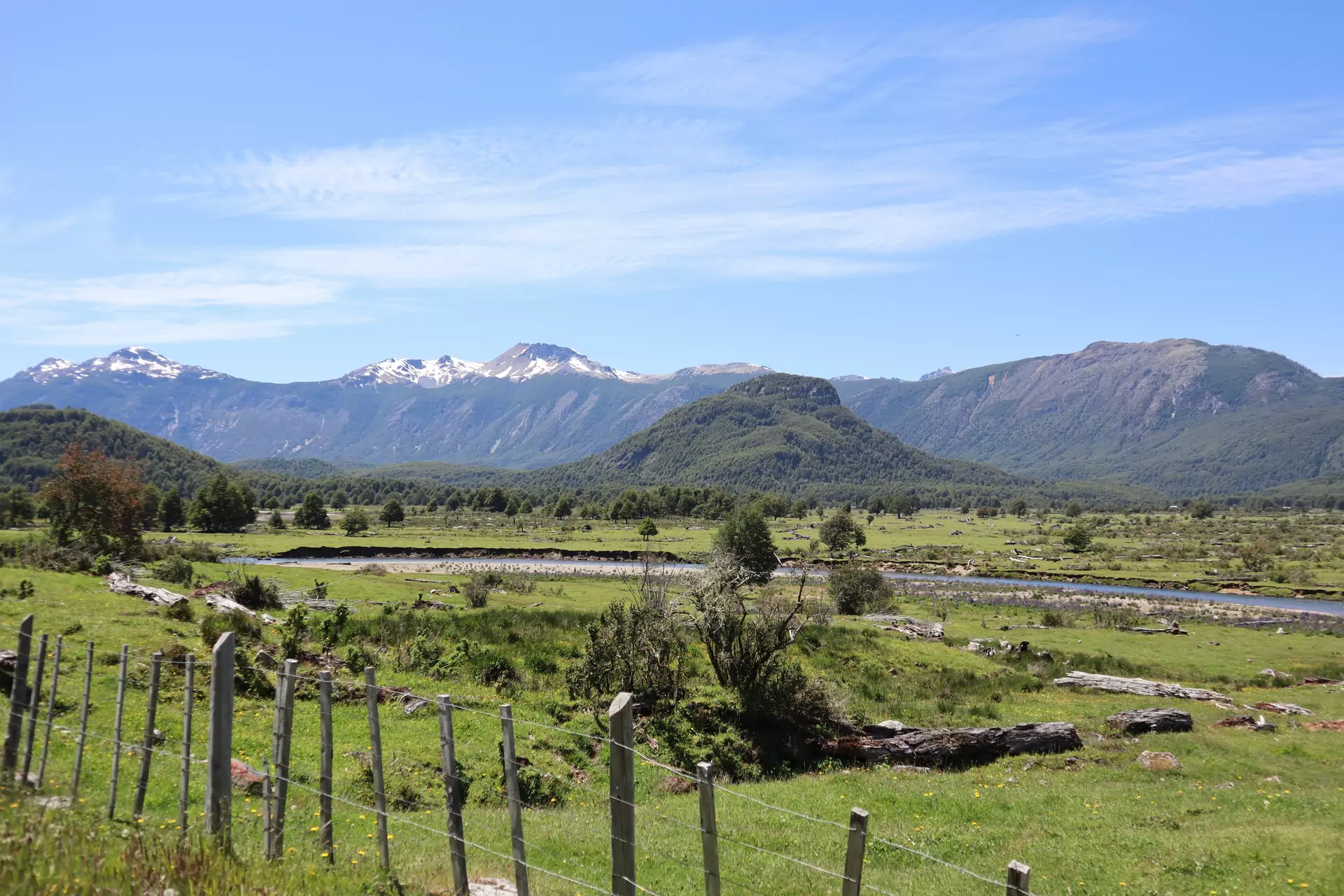
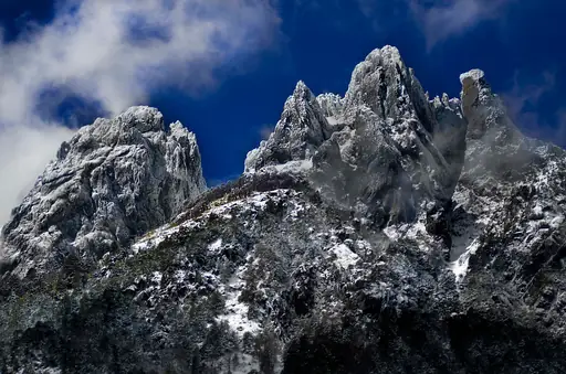
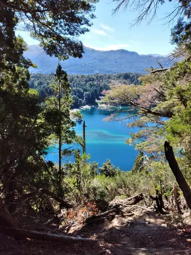
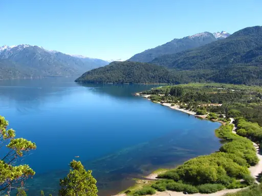
Carretera Austral in Chile stretches across thousands of kilometers of remote wilderness. This road cuts through southern Patagonia where towering mountains meet icy rivers and dense forests. Travelers encounter rugged terrain that feels far removed from modern life. The journey reveals landscapes shaped by glaciers and wind over centuries.
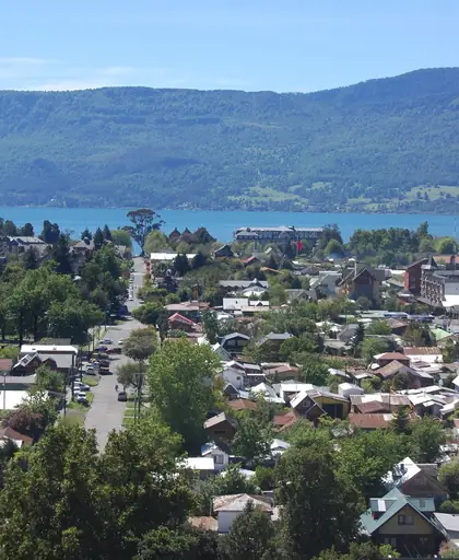
The route passes through small towns like Coyhaique where locals share stories of the land. Many communities rely on fishing and farming to survive. Along the way, visitors might spot guanacos grazing or hear the call of Andean condors circling above. The air carries a crisp scent from nearby glaciers that slowly carve valleys into the earth.
Seasonal changes affect travel plans. Summer brings longer daylight hours making hikes more accessible. Winter snow often blocks parts of the road forcing detours or delays. Even in good weather driving requires patience as gravel stretches for miles and bridges may be narrow. Road conditions demand respect for nature’s power.
For those seeking solitude and raw beauty Carretera Austral remains a test of endurance. It rewards with views that feel untouched by crowds. The path connects not just places but cultures preserving traditions passed down through generations. Every mile tells a story shaped by the land itself.
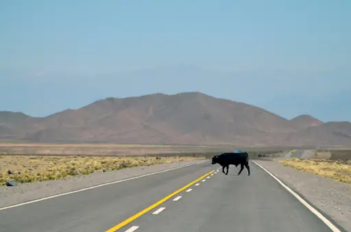
The Carretera Austral in southern Chile is accessible primarily by road, though much of the route consists of gravel or dirt tracks. The main access point begins in Puerto Montt, from where travelers can drive southward toward Lago General Carrera and beyond. Road conditions vary seasonally – summer months (December to February) offer better driving due to drier weather, while winter brings snow and potential closures. Some sections require 4x4 vehicles, especially near river crossings or remote valleys. Alternative access may involve domestic flights to smaller airports like Balmaceda or Punta Arenas, followed by bus or rental car connections. Always check local road updates before traveling, as conditions can change rapidly in this region.
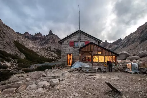
Prices vary widely: basic cabins start around CLP 40,000 (£30.70) per night, while luxury eco‑resorts can exceed CLP 160,000 (£122.80), offering amenities such as hot tubs overlooking glaciers.
Log in to add this place to a travel list and get a summary of all recommended items for your whole trip.
We calculate the average costs when travelling to destinations and compare those with the living costs at your home. With this you can get an estimate of how expensive or cheap the destination is for you.
To customise this, you can set up which location and price level are used for the calculations in your account settings.
The exchange rate price factor shows how expensive or cheap a currency currently is compared to its historical average. It's a quick way to see if a country is currently more or less affordable due to exchange rate changes.
