



Was this page helpful?

| Power Grid: |
120 V, 60 Hz Plug: Type A , Type B
Type A:
  Read about power adapters |
|---|---|
| Currency: |
US Dollar (USD) £1 ≈ US$1.33 |
| Cashless info: |
Rating 5/5
The U.S. is highly cashless, with credit and debit cards accepted almost everywhere. Mobile payment options like Apple Pay and Google Pay are widely used.
Save with a travel credit card |
| eSIM providers: |
Best value: Saily Flexibility: Airalo Read our in-depth comparison |
| Tipping: | Tipping is customary and expected in the U.S. In restaurants, 15-20% is standard. Taxi drivers, hotel staff, and tour guides also expect tips, usually around 10-20% depending on the service. |
|---|---|
| Public drinking: | Public drinking laws vary by state, but it is generally prohibited in public spaces without a permit. |
| Public smoking: | Smoking is restricted in most indoor public spaces and some outdoor areas. Local laws vary. |
| Etiquette: | Greet with a firm handshake, maintain eye contact, respect personal space, and avoid discussing politics or income unless invited to share opinions. Politeness and friendliness are appreciated. |
| Thanksgiving (November) |
A major holiday with closures and domestic travel surges. |
|---|---|
| Independence Day (July) |
Expect parades, fireworks, and celebrations nationwide. |
| Christmas (December) |
Markets, festive events, and crowded tourist spots. |
| Emergency contact: | Emergency Number: 911 (Police, Fire, Ambulance) |
|---|---|
| Taxi apps: | Uber, Lyft, Bolt |
| Helpful links: |
Wikipedia Visa regulations Customs & border control Travel with medicine |
| Other: | The U.S. is known for its diverse landscapes, cultural experiences, and regional cuisines. Public transport is efficient in cities but less so in rural areas. Renting a car is recommended for exploring national parks. |
The best times to travel section shows how the months compare for a visit, so you can find the time of year that fits what you want to do.
Background colours of the months:
The colour shows the typical temperature: yellow (hot), green (mild) and blue (cold). How strong the colour is shows the travel season: full colour means high season, soft colour means shoulder season and soft-striped means off season.
Weather symbols:
Each month has one symbol showing what the weather is typically like, such as hot and sunny, freezing or a rainy or snowy season. Use them to quickly spot months that match the weather you want, or to avoid the ones that don't.
Crowdedness:
The people icon shows how busy the place usually is. The more people, the more crowded it gets.
Additional notes:
The grey info boxes point out special things worth knowing, like recurring weather issues or seasonal events.
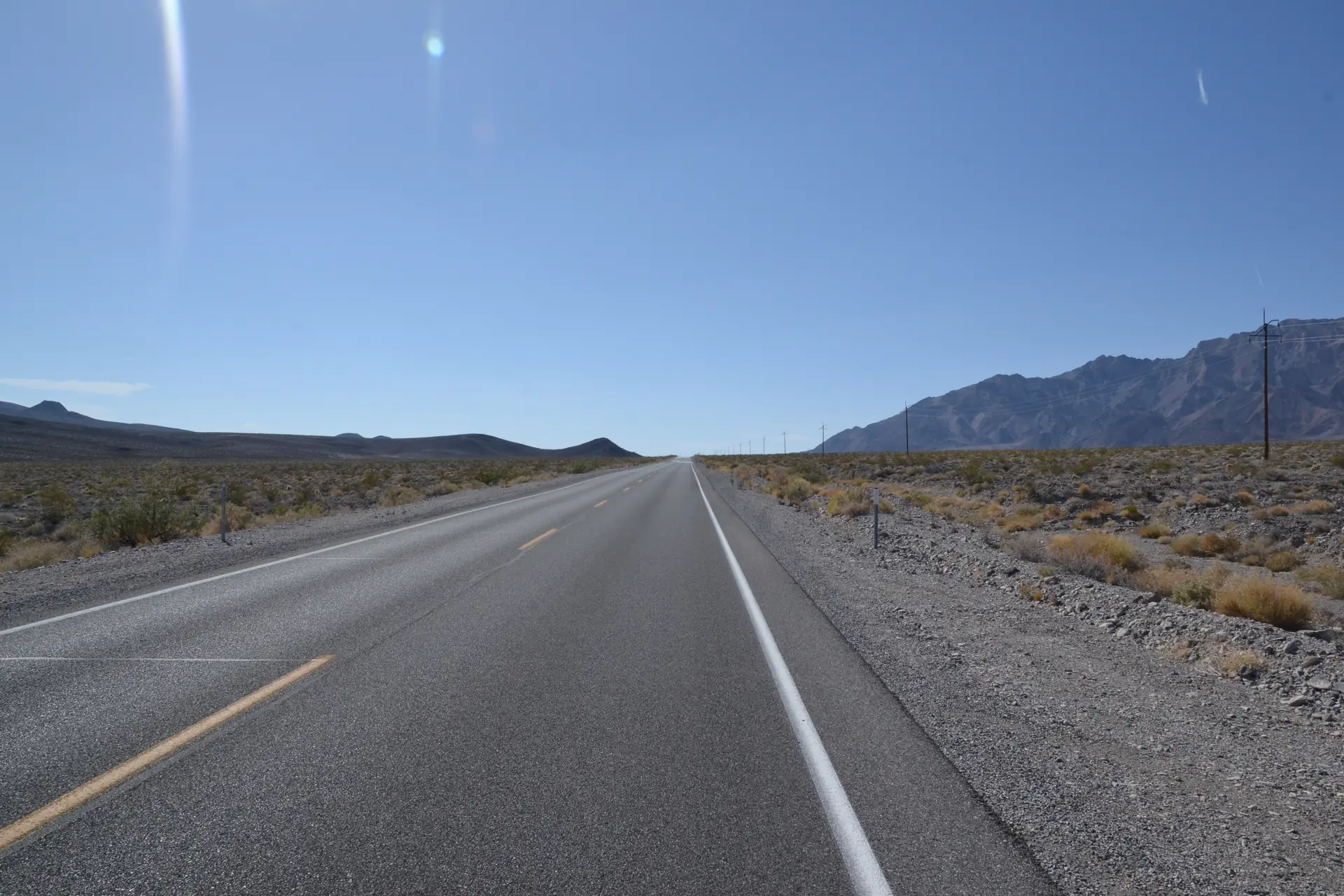
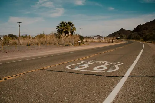
Route 66 in Flagstaff, Arizona serves as a living museum of American road culture. The highway stretches through the city with classic diners and vintage motels still standing. Travelers can spot retro signage and stop at historic stops where travelers have paused for decades. The route reflects a time when cars connected distant places with shared stories.
Driving north from Flagstaff reveals red rock formations that dominate the landscape. Ponderosa pines line parts of the road while elevation changes shape the journey. Small towns along the way showcase local art and family-run businesses. Each mile carries traces of people who built communities around this thoroughfare decades ago.
Key landmarks include the iconic Meteor Crater visible in the distance and the historic downtown district with preserved architecture. The route passes through neighborhoods where mid-century motels still welcome visitors seeking authentic experiences. Streetlights and roadside attractions mark stretches where time feels slower compared to faster highways nearby.
Local eateries serve regional specialties like green chile stew and Navajo tacos. Shops sell handmade crafts reflecting Indigenous traditions alongside classic road trip souvenirs. Visitors often note how the area maintains a balance between progress and preservation. The highway remains functional yet respectful of its role in shaping American travel history.
Route 66 runs through Flagstaff, Arizona, offering access primarily by car via Interstate 40, which parallels much of the historic highway. Travelers can also reach Route 66 from downtown Flagstaff using State Route 89A or US 180. The city is served by Flagstaff Pulliam Airport (FLG), with rental cars available for those arriving by air. Public transportation within the city includes local bus routes, though most visitors prefer personal vehicles to explore the surrounding area and historic landmarks along Route 66. Parking is readily available in downtown Flagstaff, near shops and diners that line the route.
Along Route 66 near Flagstaff, lodging ranges from rustic motels to boutique inns and modern RV parks. The corridor hosts a mix of budget-friendly chain motels offering basic amenities, mid‑range roadside hotels with complimentary breakfast and upscale historic properties that preserve the classic 1930s charm of the highway. Many accommodations feature vintage décor, neon signage and themed rooms celebrating Route 66 lore. For travelers seeking comfort, there are well-appointed inns with free Wi‑Fi, on‑site dining and spacious parking. The area also boasts several campgrounds and RV sites equipped with full hookups, making it easy to enjoy the scenic drive while staying in a variety of lodging styles.
Log in to add this place to a travel list and get a summary of all recommended items for your whole trip.
We calculate the average costs when travelling to destinations and compare those with the living costs at your home. With this you can get an estimate of how expensive or cheap the destination is for you.
To customise this, you can set up which location and price level are used for the calculations in your account settings.
The exchange rate price factor shows how expensive or cheap a currency currently is compared to its historical average. It's a quick way to see if a country is currently more or less affordable due to exchange rate changes.
