
Best hiking destinations in North America
Best hiking destinations in North America
Famous national park trails and backcountry hiking routes in North America
North America's hiking offer is defined by scale and wilderness, with trails passing through landscapes that dwarf anything found in more densely populated regions. From arctic tundra routes and vast desert canyon systems to temperate rainforest paths and high alpine crossings, the continent covers an extraordinary range of terrain within a well-developed network of protected wilderness areas.
The long distance trail culture is deeply embedded, with iconic multi-month routes drawing serious hikers from around the world alongside shorter options that deliver a genuine wilderness experience without the same commitment. Wildlife encounters, extreme weather and remote terrain add a dimension that trails in more populated regions rarely match.
Permits, bear safety and leave no trace principles are taken seriously across most of the continent's best hiking areas. The most popular trails sell out months in advance. Less visited wilderness areas offer comparable experiences with considerably more solitude for those willing to do the extra research.
Lists by region
Worldwide (168)
Africa (23)
Asia (34)
Europe (57)
North America (43)
Oceania (11)
South America (14)

Country
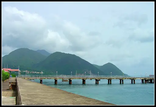
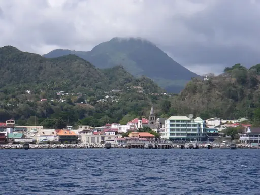
Dominica
Nature island with pristine rainforests
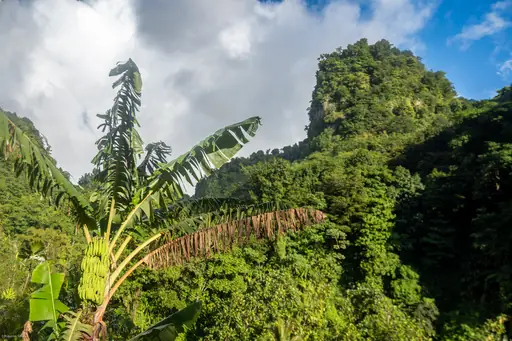
The Waitukubuli National Trail crosses Dominica for about 185 kilometres in 14 sections. Hikers pass rainforest, volcanic peaks and small villages. You can swim in rivers and waterfalls along the way. The island is often called the nature isle of the Caribbean for good reason.
National Park in Dominica
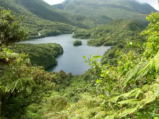
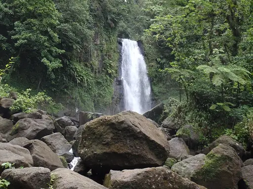
Morne Trois Pitons National Park
Volcanic wonders in pristine rainforest
The Boiling Lake trail in Morne Trois Pitons National Park leads to a huge flooded fumarole. Hikers cross the Valley of Desolation and pass steaming vents and streams. The round trip takes about six to eight hours. The water bubbles in shades of grey and blue.
National Park in United States
Rocky Mountain National Park
Majestic Peaks and Untamed Wilderness
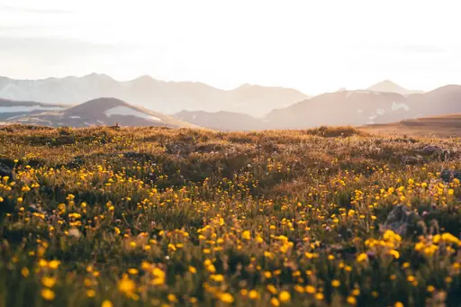
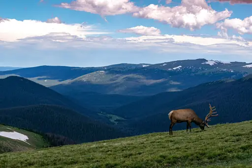
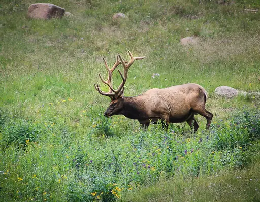
Longs Peak rises 4,346 metres in Rocky Mountain National Park in Colorado. The Keyhole Route is a long and demanding climb of about 23 kilometres. Hikers must start well before dawn to avoid storms and heavy crowds. Ledges and narrow ridges lead to a wide flat summit.
National Park in United States
Mount Rainier National Park
A Majestic Volcano and Wild Beauty
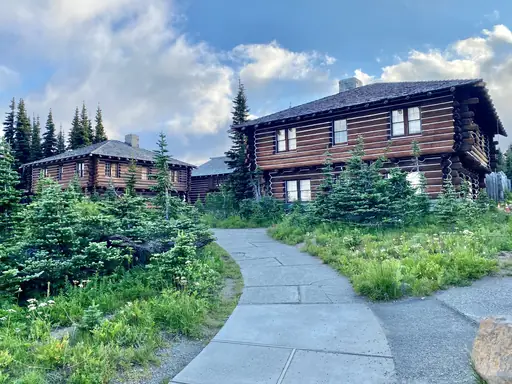
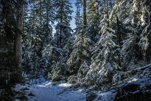
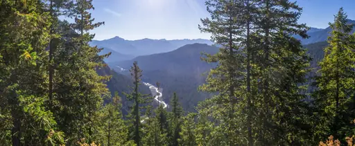
The Wonderland Trail circles Mount Rainier for 93 miles through forest and alpine meadows. Hikers cross rivers on log bridges and climb ridges above glaciers. A full loop usually takes about ten to fourteen days. Wildflowers bloom in July and August across the high meadows.
National Park in United States
Yosemite National Park
Nature's Grand Cathedral
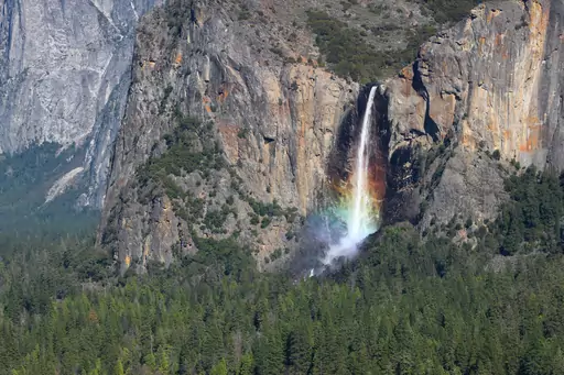
Yosemite Falls drops 739 metres in three stages and is among the tallest waterfalls in North America. A steep trail climbs to the top of the upper fall. Hikers gain about 800 metres of height on the way up. The view spans the whole valley and Half Dome.
City in Canada
Whistler
Alpine Adventure, Epic Views, Year-Round Fun
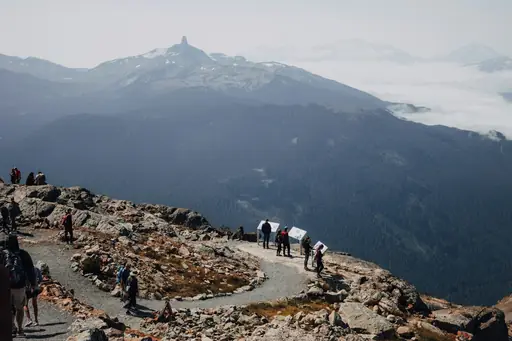
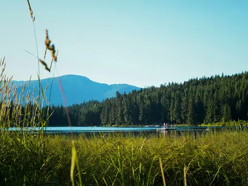
The trail to Garibaldi Lake near Whistler climbs about nine kilometres through forest to a bright blue lake. Hikers see the jagged Black Tusk above the water. Some continue to Panorama Ridge for a wider and higher view. Campsites sit beside the shore for overnight stays.
State/Prefecture in United States
Arizona
Desert Wonders and Scenic Adventures
Havasu Falls drops about 30 metres into a pool of turquoise water in a canyon near the Grand Canyon. Hikers walk about 16 kilometres from Hualapai Hilltop. The land belongs to the Havasupai tribe and permits are required. A small village offers a lodge and campsite.

National Park in United States
Denali National Park
Wild Alaska’s peaks and wildlife
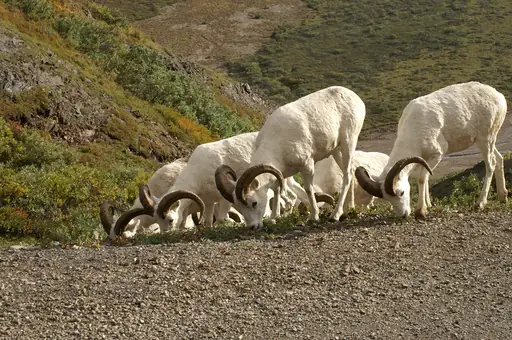
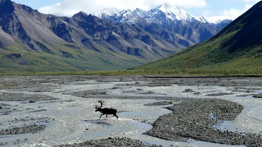
Denali National Park has very few marked trails and most hikers walk across open tundra. The park is divided into backcountry units with daily limits. Grizzlies, caribou and wolves live across the landscape. On the rare clear days Mount Denali rises 6,190 metres above the plain.
Country
Greenland
Arctic wilderness with ice landscapes
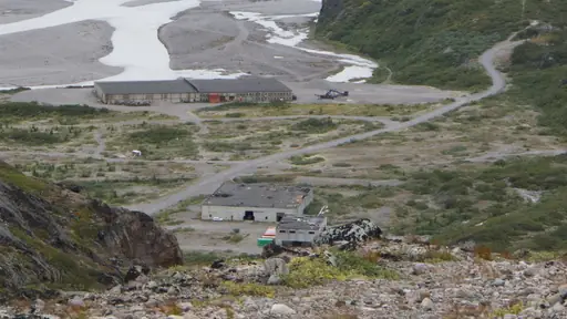
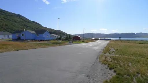
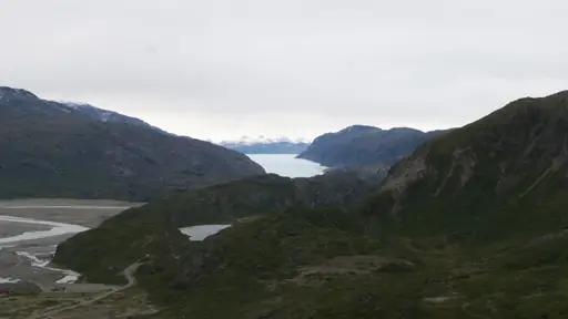
The Arctic Circle Trail crosses Greenland for about 160 kilometres from Kangerlussuaq to Sisimiut. Most hikers take about a week to ten days. You can sleep in simple huts beside lakes and rivers. Musk oxen and reindeer roam the open tundra along the whole route.
Island in Canada
Vancouver Island
Untamed Beauty and Coastal Charm
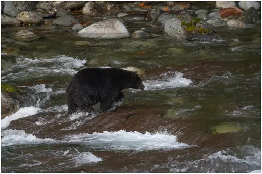
The West Coast Trail on Vancouver Island follows the wild Pacific shore for about 75 kilometres. Hikers climb ladders and cross streams on hand pulled cable cars. Beaches and sea caves appear along the rugged coast. Bears and whales are often seen from the shore.
National Park in Canada
Banff National Park
Majestic Peaks and Turquoise Lakes
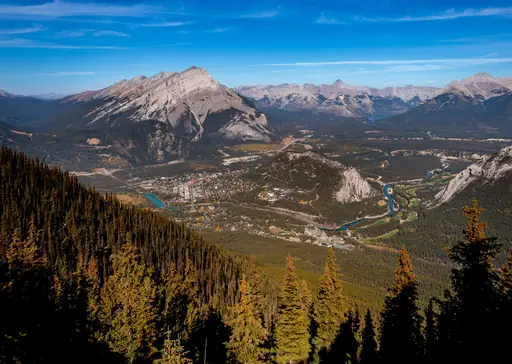
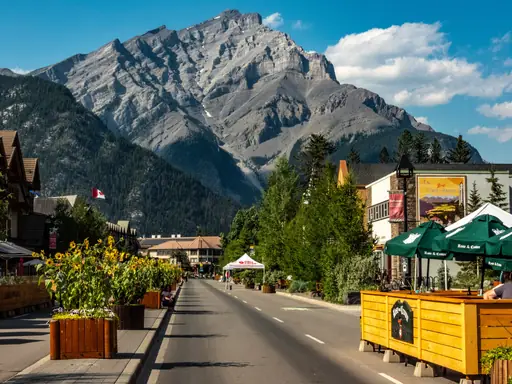
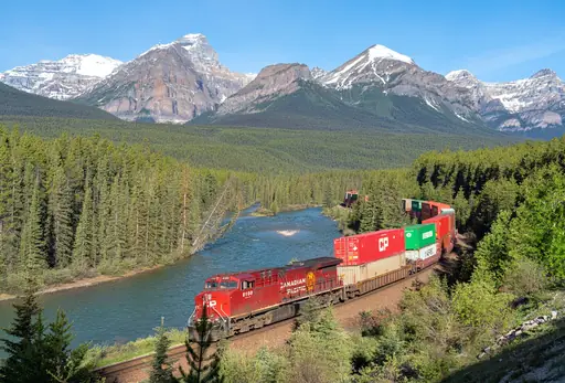
Johnston Canyon in Banff has catwalks bolted to limestone walls above a rushing creek. A trail leads to the Lower Falls in about 30 minutes. Hikers can continue to seven small pools called the Ink Pots. The route is popular all year round and often busy at midday.
State/Prefecture in United States
Wyoming
Wild West landscapes and natural wonders
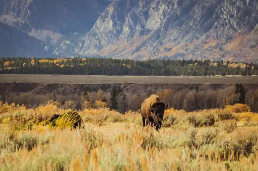
The Cirque of the Towers is a ring of granite peaks in the Wind River Range of Wyoming. The trail runs about 40 kilometres return from Big Sandy trailhead. Hikers cross high passes and open alpine meadows. Climbers also come here for the solid granite walls and clean cracks.
Town in United States
Telluride
Breathtaking box canyon mountain paradise
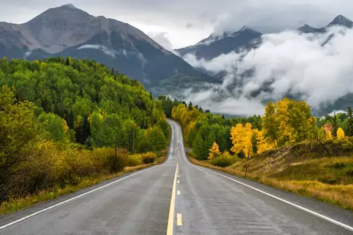
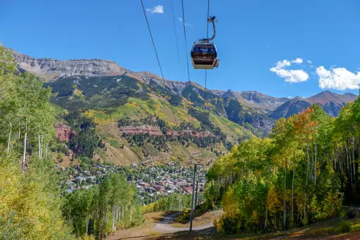
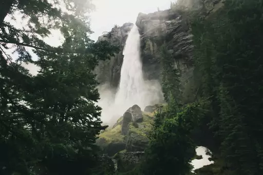
Bridal Veil Falls near Telluride drops about 110 metres down a canyon wall. A rocky road leads to the base of the falls from town. Hikers can continue to an old power station above the falls. Wildflowers fill the trail in July and the air feels cool.
National Park in United States
Zion National Park
Red rocks, epic hikes and nature's beauty
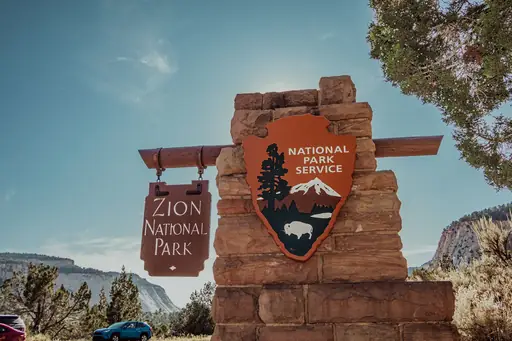
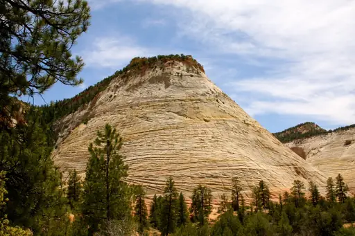
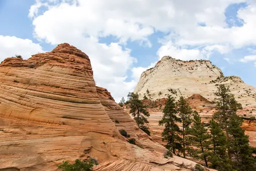
Angels Landing in Zion National Park follows a narrow ridge with steep drops on both sides. Chains help hikers over the final steep section. A permit lottery controls access to the top of the ridge. The view covers the canyon floor about 450 metres below.
State/Prefecture in United States
Alaska
Land of superlatives and adventure
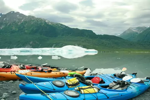
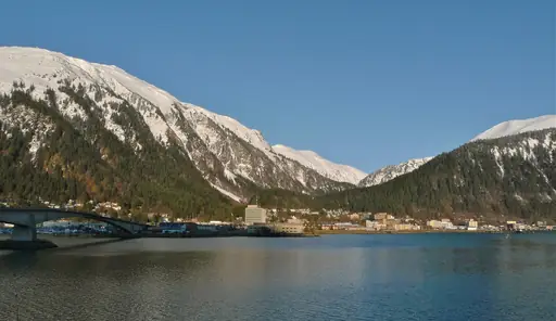
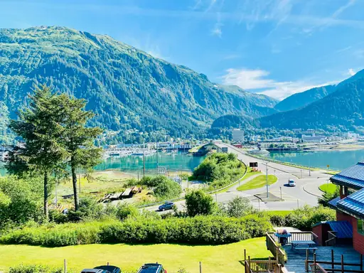
The Chilkoot Trail runs about 53 miles from Dyea in Alaska to Bennett Lake in Canada. Gold seekers walked it in 1898 carrying a ton of supplies. Hikers climb the steep Golden Stairs to the pass. Old boots and rusted tools still lie beside the path.
National Park in Canada
Jasper National Park
Untamed Wilderness and Starry Skies
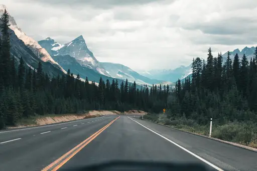
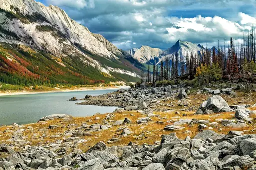
The Skyline Trail in Jasper National Park runs about 44 kilometres along high ridges. More than half of the route lies above the treeline. Hikers pass Curator Campground and the Notch at 2,510 metres. Marmots and caribou live in the alpine meadows and rocky slopes.
City in United States
Sedona
Red Rocks, Vortexes and Starry Skies
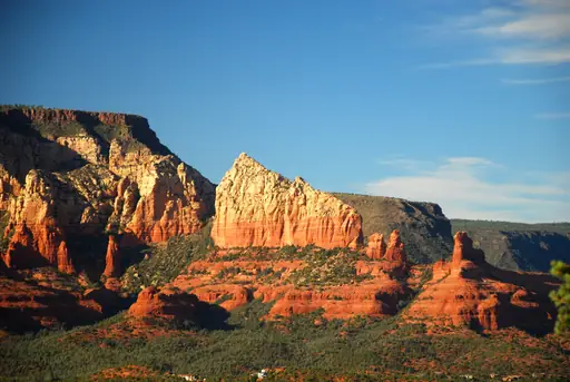
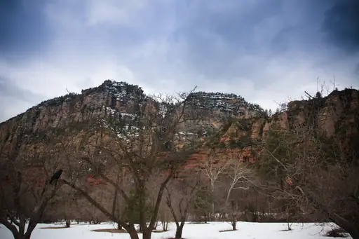
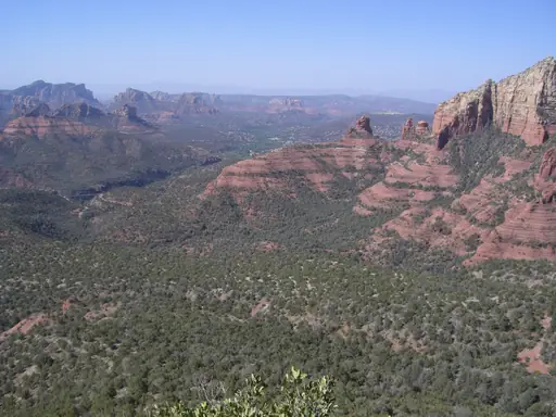
Devil's Bridge is a natural sandstone arch near Sedona in Arizona. A trail of about seven kilometres leads across the red rock and juniper trees. Hikers can walk across the top of the arch with care. The desert and cliffs glow orange at sunset each evening.
National Park in United States
Olympic National Park
Untamed Wilderness, All in One
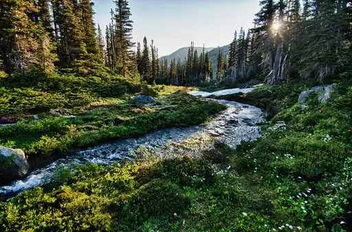
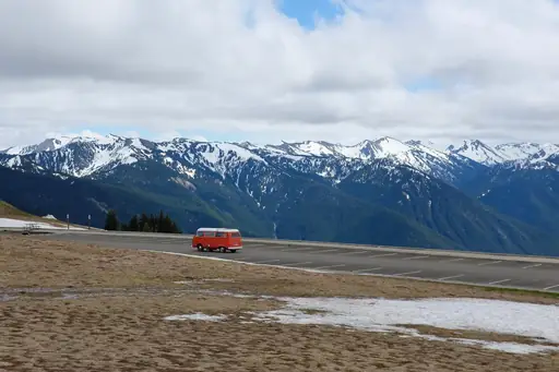
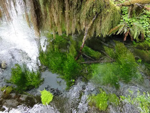
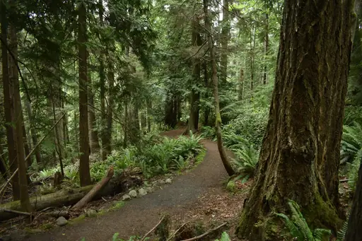
The Hall of Mosses trail in the Hoh Rain Forest winds beneath maples draped in moss. Olympic National Park receives about three metres of rain each year. Hikers look for elk and giant Sitka spruce trees along the loop. The path is short and easy for families.
National Park in United States
Grand Teton National Park
Stunning Peaks and Wildlife Wonders
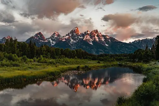
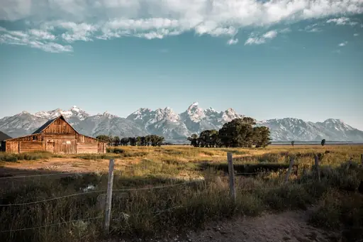
The Paintbrush Canyon and Cascade Canyon loop crosses the heart of Grand Teton National Park. The high point is Paintbrush Divide at about 3,100 metres. Hikers pass Lake Solitude and enjoy close views of the jagged Tetons. The loop is about 30 kilometres and usually takes two days.

Island in United States
Maui
Island of Sun, Surf and Serenity
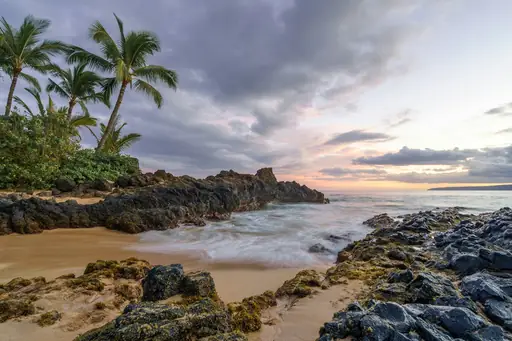
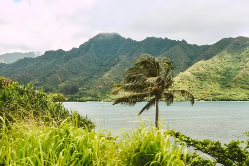
The Pipiwai Trail in Haleakala National Park passes through a bamboo forest on Maui. It leads to Waimoku Falls at about 122 metres high. Hikers cross a banyan tree grove and a wooden boardwalk. The path starts near the Kipahulu coast on the far side of the island.
Island in United States
Kauai
Lush Landscapes and Secluded Beaches
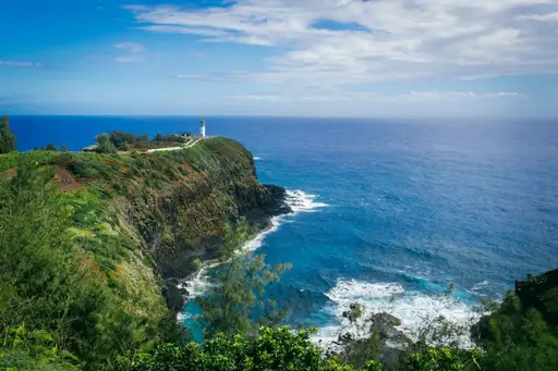
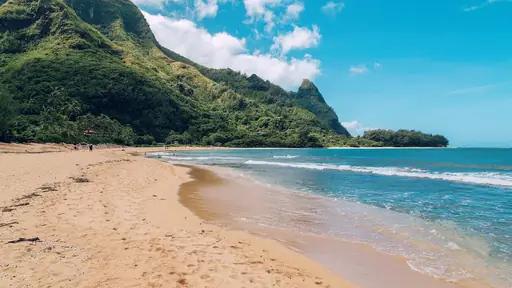
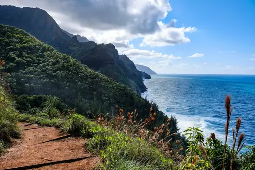
The Kalalau Trail on Kauai follows the Na Pali Coast for about 17 kilometres. It starts at Ke'e Beach and passes steep green valleys. Hikers cross streams and reach a remote beach at the end. A permit is needed for any trip that goes past Hanakapiai.
National Park in United States
Yellowstone National Park
Geysers, wildlife and untamed wilderness
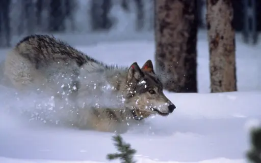
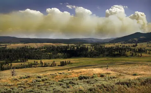
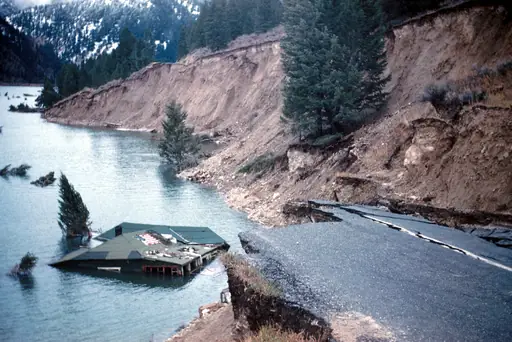
Mount Washburn in Yellowstone rises 3,122 metres and has a fire lookout at the top. Two trails lead up gradually and gently through wildflower meadows. Hikers often see bighorn sheep on the open slopes. On clear days you can see the Tetons far to the south.

State/Prefecture in United States
Montana
Wild Beauty & Vast Big Skies
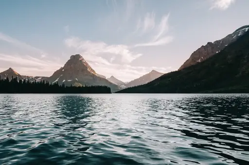
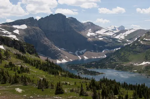
Granite Peak is the highest point in Montana at 3,904 metres in the Beartooth Mountains. The route involves steep scrambling and exposed climbing. Most hikers need three or four days for the round trip. The Absaroka Beartooth Wilderness is a rugged and remote place with many lakes.

National Park in United States
Waterton Glacier International Peace Park
Where two nations preserve wilderness
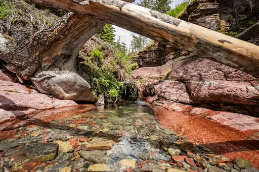
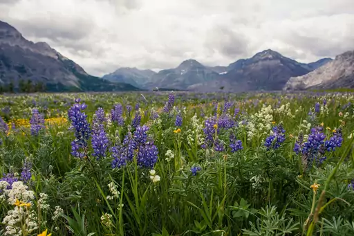
The Crypt Lake trail in Waterton starts with a boat ride across Upper Waterton Lake. Hikers climb through a tunnel and pass waterfalls. A ladder and a cliffside cable also lead to the basin. The lake sits beneath sheer rock walls near the Canadian border.
State/Prefecture in United States
Oregon
Diverse Landscapes and Outdoor Wonders
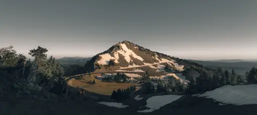
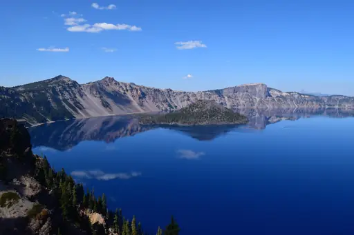
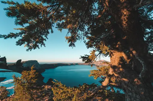
Multnomah Falls drops about 189 metres in two steps in the Columbia River Gorge. A paved trail climbs to Benson Bridge between the tiers. Hikers can continue to the top and keep going along Larch Mountain. Many other waterfalls hide along the nearby trails in the forest.
National Park in United States
Glacier National Park
Crown of the Continent
The Highline Trail in Glacier National Park follows the Continental Divide from Logan Pass. Hikers walk along a ledge with a cable handrail on the Garden Wall. Mountain goats and bighorn sheep are common. The trail runs about 19 kilometres to the Granite Park Chalet.
Lake in Canada
Lake Louise
Turquoise Gem of the Canadian Rockies
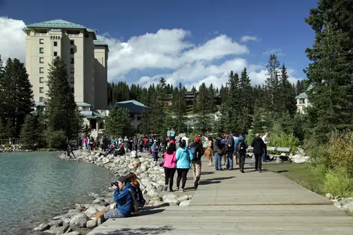
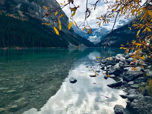
The Lake Agnes Tea House has sat above Lake Louise since 1901. A trail of about 3.5 kilometres climbs through spruce forest to the little lake. Hikers can rest with tea and baked goods on the porch. Mountain walls tower on every side of the lake.

Island in United States
Oahu
Hawaii’s Vibrant Island Adventure
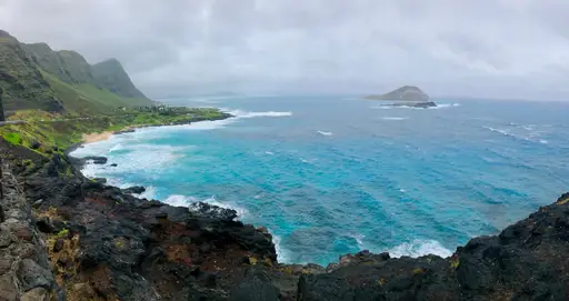
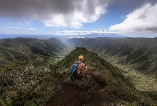
Koko Head Crater on Oahu has a steep rail line built during World War II. Hikers climb around 1,000 railway ties to the summit. The trail is short but very steep and has little shade. Views of Hanauma Bay and the coast reward the effort.
National Park in United States
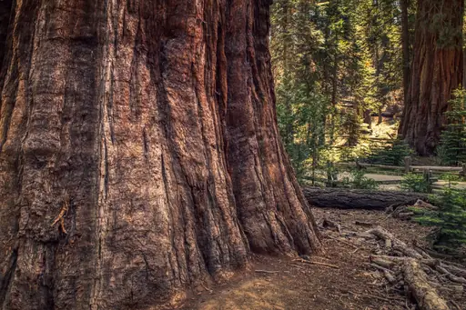
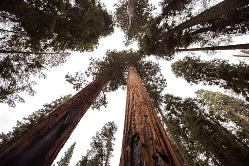
Sequoia and Kings Canyon National Parks
Home of the Giant Sequoias
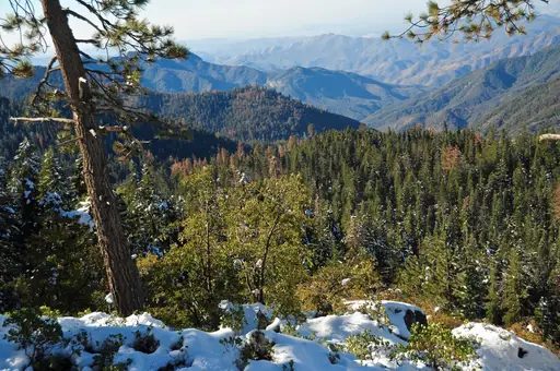
The Rae Lakes Loop covers about 66 kilometres in Kings Canyon National Park. Hikers cross Glen Pass at 3,650 metres on the way. The route passes clear blue lakes beneath sharp granite peaks and steep cliffs. Most people take about five days to finish the loop.
State/Prefecture in United States
California
Golden State of Endless Experiences
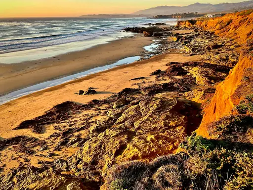
The John Muir Trail runs about 340 kilometres through the high Sierra Nevada. It starts in Yosemite Valley and finishes on Mount Whitney at 4,421 metres. Hikers cross many high passes and wide granite basins. Most people need about three weeks to finish the whole thing.
National Park in United States
Big Bend National Park
Majestic canyons, star‑filled desert skies
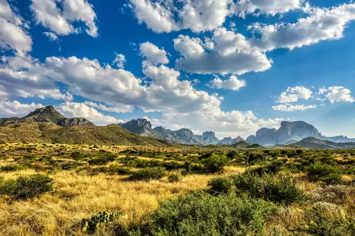
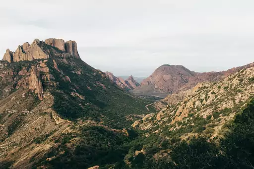
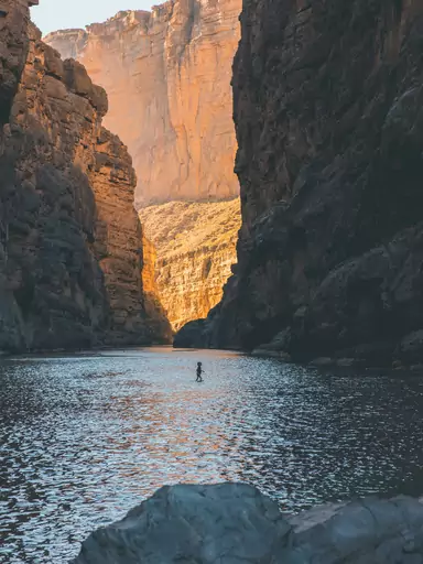
Santa Elena Canyon in Big Bend has cliffs about 450 metres high on the Rio Grande. A short trail climbs steps and then follows the river into the canyon. Hikers cross Terlingua Creek at the start. Mexico lies on the opposite bank of the river.

State/Prefecture in United States
Colorado
Rocky mountains and red rocks
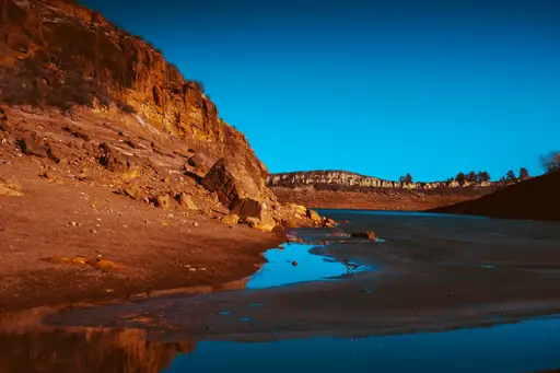
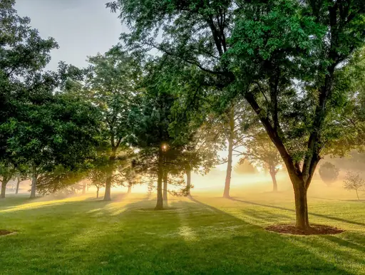
Colorado has 58 peaks that rise above 4,267 metres called fourteeners. Hikers often start before dawn to avoid afternoon lightning storms in summer. Popular routes include Grays Peak and Quandary Peak near Breckenridge. Many of these peaks can be climbed in a single long day.
Lake in Canada
Moraine Lake
Turquoise jewel of the Rockies
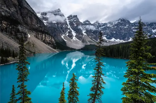
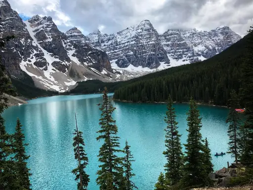
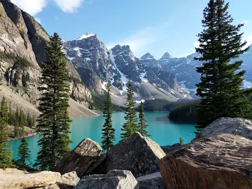
The Larch Valley trail climbs from Moraine Lake to Sentinel Pass at 2,611 metres. Alpine larches turn bright gold each September. Hikers gain wide views of the ten peaks that ring the lake. The pass rewards the steep climb with a view of Paradise Valley.
State/Prefecture in United States
Utah
Nature's dramatic red rock playground
Delicate Arch stands on a slickrock bowl in Arches National Park in Utah. The trail is about five kilometres return and gains about 150 metres. Hikers cross open rock with almost no shade on the way up. The arch glows deep red at sunset and draws many photographers.

National Park in United States
Grand Canyon National Park
Epic Vistas, Timeless Adventure
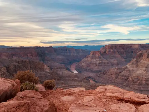
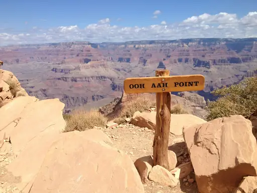
The rim to rim hike crosses the Grand Canyon from the North Rim to the South Rim. Hikers walk about 34 kilometres using the North Kaibab and South Kaibab trails. The route drops through seven climate zones. Most people spend two days on the trail.
Wetland in United States
Tuolumne Meadows
Serene Alpine Meadow and River
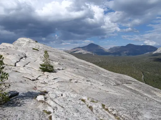
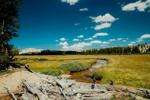
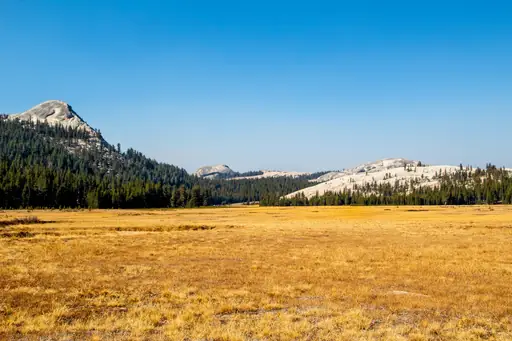
Tuolumne Meadows is a wide subalpine meadow at about 2,600 metres in Yosemite. The Tuolumne River meanders through the grass. Trails lead to Lembert Dome and Cathedral Lakes below Cathedral Peak. The area opens in summer after the high road clears of snow each year.

Country
Saint Lucia
Tropical paradise with volcanic mountains
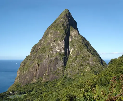
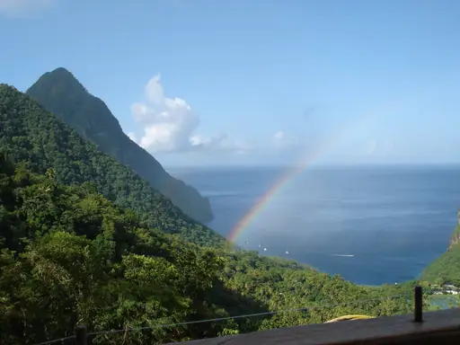
Gros Piton is a volcanic cone rising 798 metres from the coast in Saint Lucia. A steep path climbs through rainforest to the summit. Guides are required and the climb takes a few hours. Hikers can see Petit Piton and the sea from the top.
State/Prefecture in United States
Hawaii
Tropical Vibes and Volcanic Wonders
The Kilauea Iki trail crosses a crater floor on Hawaii's Big Island. The lava lake here erupted in 1959 in a dramatic fountain and hardened into black rock. Hikers walk through rainforest before descending into the crater. Steam vents rise from cracks in the crater floor.
State/Prefecture in United States
Washington (State)
Diverse landscapes from mountains to coast
The Enchantments in Washington is a high basin of granite peaks and turquoise lakes. Alpine larches turn bright gold in late September each year. Hikers need a permit from a lottery for overnight stays in summer. Mountain goats often walk near the trail and the lakes.
Valley in United States
Grand Canyon
Majestic chasm carved by time
The Bright Angel Trail descends from the South Rim of the Grand Canyon through switchbacks. Rest houses stand along the route at 2.4 and 4.8 kilometres. Hikers can reach Indian Garden and Plateau Point for a view of the Colorado River. The climb back out is steep and hot.
Peak in United States
Half Dome
Iconic Granite Challenge Peak
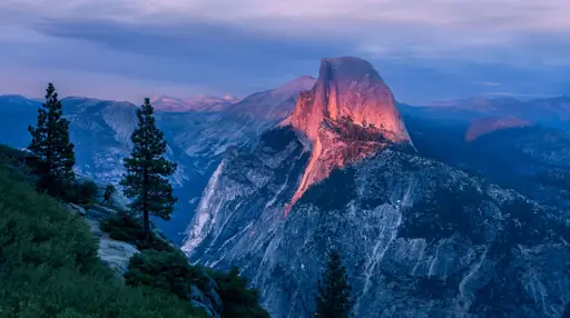
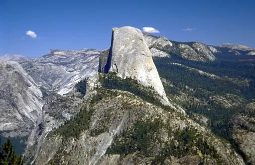
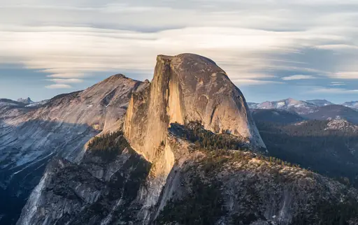
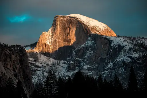
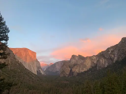
Half Dome rises nearly 1,450 metres above Yosemite Valley and ends in a steep granite cap. Hikers climb the last 120 metres using steel cables. A permit is required for the cable section. The round trip takes 10 to 14 hours from the valley floor.
Peak in United States
El Capitan
Yosemite's Iconic Vertical Giant
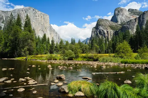
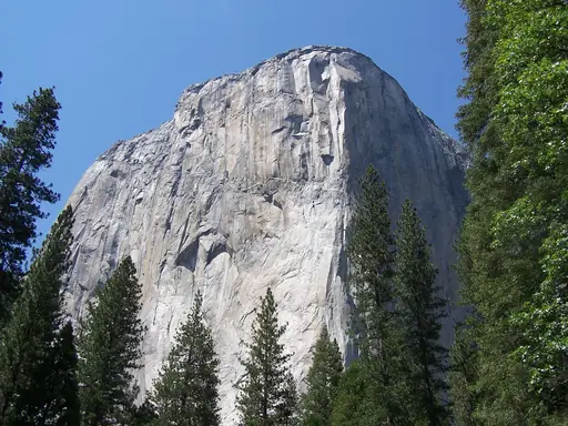
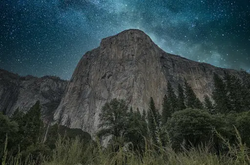
El Capitan is a granite wall rising about 900 metres above the Yosemite Valley floor. A long hiking trail leads to its summit. The round trip is more than 20 kilometres. Hikers stand on the top and look over the whole valley and Half Dome.
Waterfall in United States
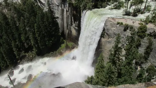
Vernal Fall
Powerful Waterfall with Misty Trails
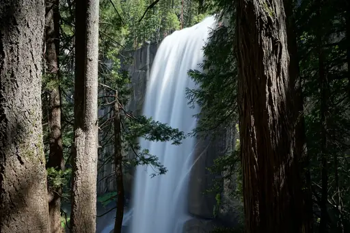
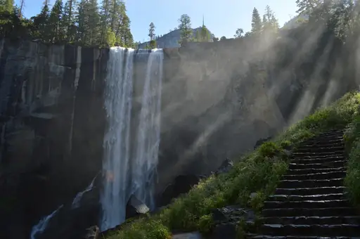
The Mist Trail climbs about 600 granite steps beside Vernal Fall in Yosemite. The waterfall drops 97 metres into a rocky pool. Hikers get soaked by spray in late spring when the river runs high and loud. A short walk beyond the top of the falls leads to Nevada Fall.
Other lists you may like
Discover
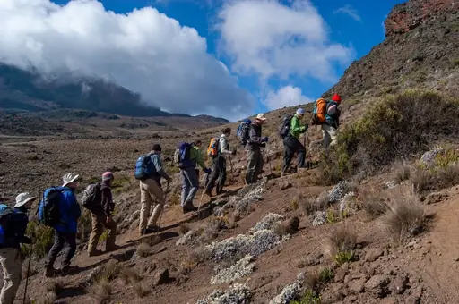
Best hiking destinations in Africa
Africa's hiking ranges from the glaciated summit zone of equatorial high peaks and the vast plateau trails of the south to rainforest routes in the centre and dramatic coastal…
Read more
Discover
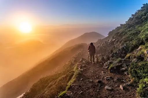
Best hiking destinations in Asia
Asia offers some of the most varied and rewarding hiking terrain on earth, ranging from high altitude Himalayan trails and volcanic crater routes to ancient pilgrimage paths,…
Read more
Discover
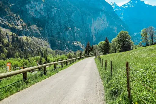
Best hiking destinations in Europe
Europe has one of the most developed long distance hiking cultures in the world, with a network of waymarked trails covering everything from high alpine routes and coastal paths to…
Read more
Discover
Best hiking destinations in Oceania
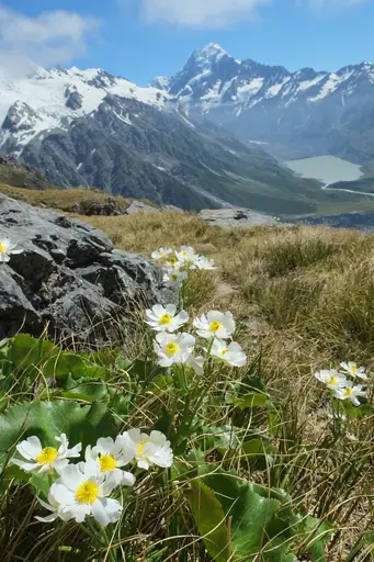
Oceania's hiking spans an enormous geographic range, from the ancient eroded ranges of Australia's interior and the dense rainforests of its tropical north to the dramatic alpine…
Read more
Discover
Best hiking destinations in South America
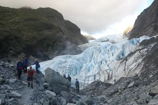
South America's hiking is shaped by extreme contrasts in altitude, climate and terrain. The Andes form the spine of the continent, offering everything from high-altitude desert…
Read more

Discover
Top hiking destinations and famous trails
Hiking at its best is one of the most direct ways to engage with a landscape. The pace forces a relationship with terrain, weather and distance that faster forms of travel rarely…
Read more
What other users say about travelfilters
“travelfilters made it easy for me to find ski areas and compare what else they offer, so that I could find the best place for my personal travel style.”

Chris
Snowboarding & Onsen trip to Japan
“I love how transparent the data feels. There is no pushy upsell, just honest information and settings I can tune to my own travel style.”

Maria
After booking her 2027 winter escape
“The level of detail for each destination and how well those are displayed, make planning feel confident instead of overwhelming.”

Mina
Planned a week in New York City
“We used travelfilters for our planning from start to end. The trip turned out even better than expected, thanks to all their tools and customisation options.”

Allan & Etienne
Trip to Japan to see autumn foliage
“Thanks to travelfilters, I found some hidden gems to see. Being able to filter for exactly your interests is a game changer for my travel planning.”

Michael
Tour through the old cities of Northern Italy
“The customizable filters helped me find a quiet beach town with good wifi and low season crowds in under five minutes.”

Diego
Weekend Escape to Llanes, Spain
“The airport connection map saved me hours by showing good flight options from my home airport to lesser-known cities.”

Nguyen
Planning a 2027 trip to France
“The website is clean, fast and focused on the search itself, which makes travelfilters feel more like a professional tool than an ad-heavy booking site.”

Hassan
Christmas Market trip, Germany
