
Best hiking destinations in Asia
Best hiking destinations in Asia
Historic mountain paths and challenging multi-day treks in Asia
Asia offers some of the most varied and rewarding hiking terrain on earth, ranging from high altitude Himalayan trails and volcanic crater routes to ancient pilgrimage paths, jungle trekking and coastal walks through landscapes of extraordinary natural beauty. The continent's diversity means that the right destination depends entirely on what kind of walking experience you are after.
Some of Asia's most celebrated trails pass through landscapes that are as culturally significant as they are visually dramatic. Ancient routes connecting temples, monasteries and sacred sites add a dimension to hiking here that is largely absent in more purely wilderness-focused destinations. The combination of natural environment and living cultural context makes certain trails genuinely unlike anything found elsewhere.
Altitude, monsoon seasons and permit requirements are the main practical considerations across the region. High altitude routes require acclimatisation time that needs to be built into the itinerary, and the weather window for certain trails can be narrow. Researching seasonal conditions and permit availability well in advance is essential, particularly for the most popular routes where numbers are actively managed.
Lists by region
Region in India
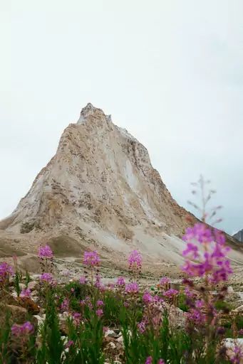
Zanskar
Hidden Himalayan Buddhist wilderness frontier
The Chadar trek follows the frozen Zanskar River through a deep Himalayan gorge. Trekkers walk on sheets of ice for about 100 kilometres each winter. You can sleep in caves and camps while temperatures fall far below freezing. Sheer rock walls and frozen waterfalls line the whole route.
City in Malaysia
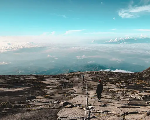
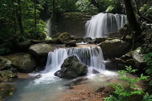
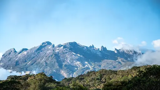
Kota Kinabalu
Gateway to Borneo’s wild beauty
Mount Kinabalu towers 4,095 metres above Sabah and is the tallest peak in Borneo. Climbers start at Timpohon Gate and sleep in a hut on the mountain. The final push to Low's Peak begins in the dark. Sunrise lights the bare granite summit plateau in gold.
Nature Reserve in China
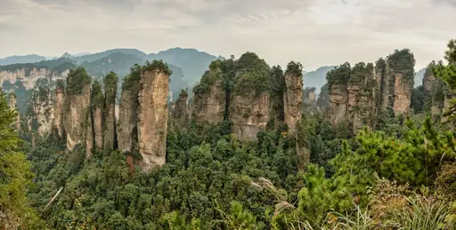
Wulingyuan nature reserve
Misty Peaks of Avatar Fame
The Golden Whip Stream trail winds for about 7 kilometres along a river through a narrow valley. Tall sandstone pillars rise above the path on both sides. Hikers pass small waterfalls, clear pools and wild macaques. The walk is mostly flat and suits hikers of all ages.
National Park in Japan
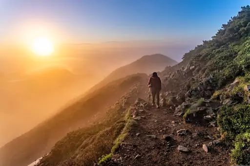
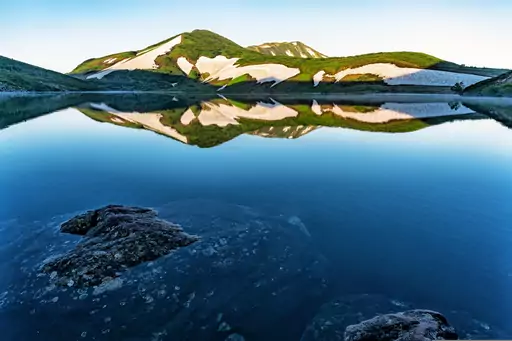
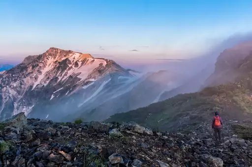
Chūbu-Sangaku National Park
Northern Alps peaks, snow walls and onsen
Murodo plateau lies at 2,450 metres along the Tateyama Kurobe Alpine Route. Trails lead from there to Mikurigaike Pond and the summit of Mount Tateyama. Hikers walk beside deep snowfields that last until midsummer each year. Rare ptarmigan birds sometimes appear on the rocky slopes.
Island in Japan
Yakushima
Ancient cedars, mossy forest and waterfalls
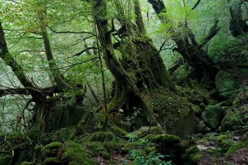
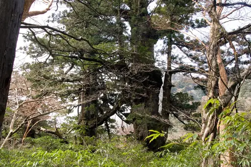
The Jomon Sugi is an ancient cedar on Yakushima that is thousands of years old. The hike follows an old logging railway through mossy forest. It takes most of a day to reach the tree and return. Rain is frequent and keeps the woods deep green.
National Park in Japan
Kamikochi
Clear river valley beneath the Hotaka Range
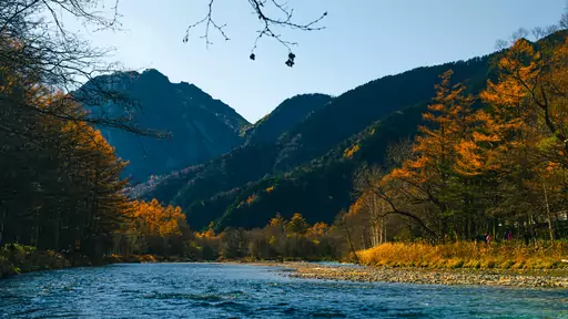
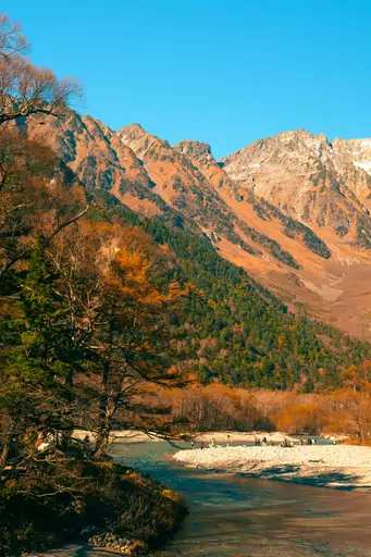
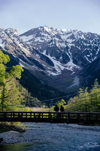
The Kappa Bridge in Kamikochi spans the clear Azusa River beneath sharp Alpine peaks. Flat trails run from the bridge past ponds and birch forest. Walkers can reach Myojin Pond in a few hours. The valley is closed to private cars to keep it peaceful.


National Park in Turkey
Göreme National Park
Fairy chimneys and cave wonders
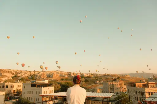
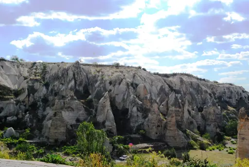
Pigeon Valley links Goreme with Uchisar along a path through soft volcanic rock. Local farmers once carved thousands of dovecotes into the cliffs. Hikers walk through orchards beside old cave houses. The trail takes about two hours and ends at a hilltop fortress with far views.
Country
Tajikistan
Dramatic mountains meet ancient cultures
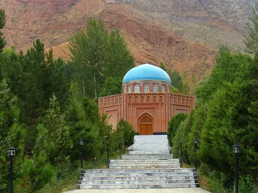
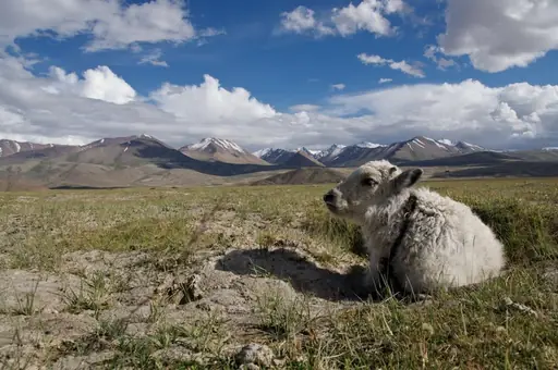
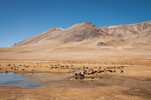
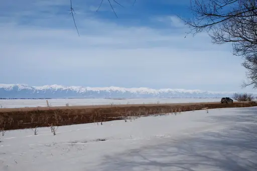
The Seven Lakes valley in the Fann Mountains has lakes in shades of turquoise and jade. A multi day trek links the shores one by one. Hikers camp beside still water reflecting snowy peaks. Small villages along the way offer fresh bread and hot tea.
Country
Kyrgyzstan
Untouched mountain wilderness awaits explorers
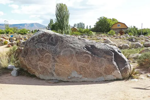
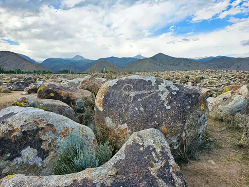
The Ala Kul trek near Karakol climbs to a bright turquoise lake at 3,532 metres. Hikers then cross a high pass near 3,900 metres. Snowy peaks rise straight up from the shoreline. Many walkers camp beside the lake before the long descent to hot springs.
Country
Mongolia
Land of endless steppes
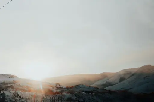
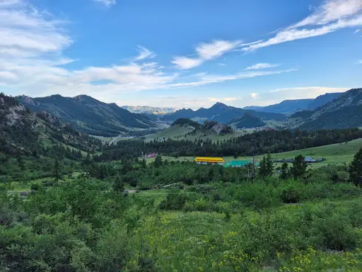
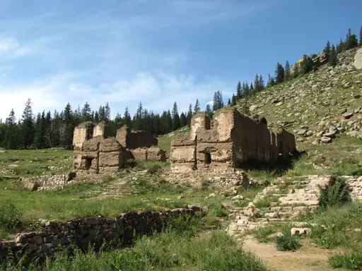
Khuiten Peak stands 4,374 metres tall in the Altai Tavan Bogd range and is the highest point in Mongolia. Trekkers reach its glaciers from remote western valleys. You can meet Kazakh eagle hunters on the way. Camps sit beside quiet mountain lakes in wide open valleys.
Island in Japan
Shikoku
Pilgrimage trail, gorges and hot springs
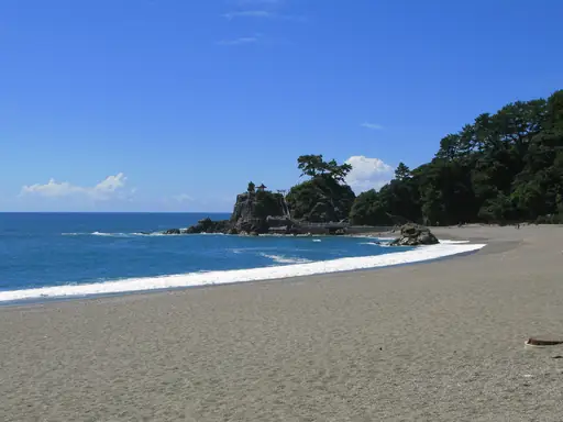
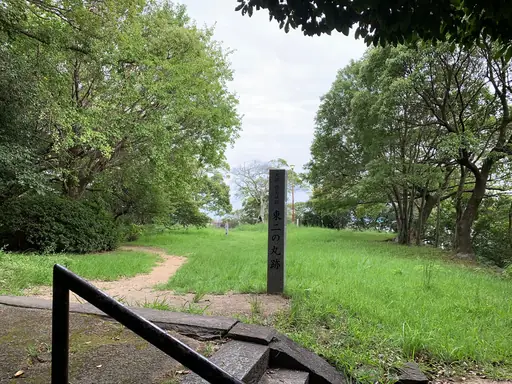
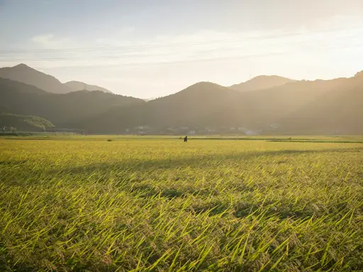
The Shikoku pilgrimage links 88 temples on a loop of about 1,200 kilometres. Walkers wear white clothing and carry a staff as pilgrims have for centuries. You can follow forest paths, coastal roads and mountain passes. Local families often offer walkers small gifts of food.
City in China
Zhangjiajie
Avatar's Floating Mountains Come Alive
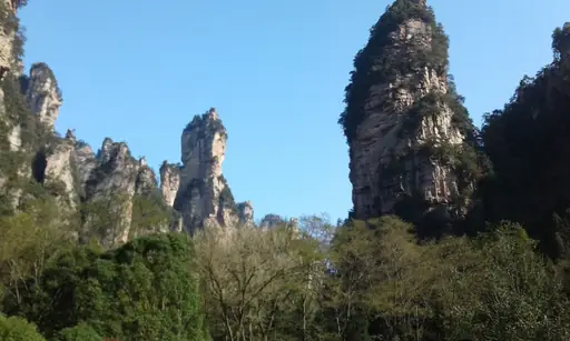
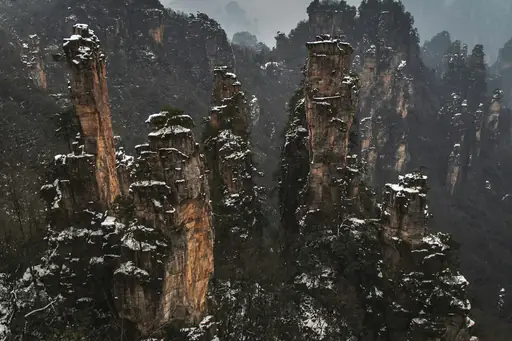
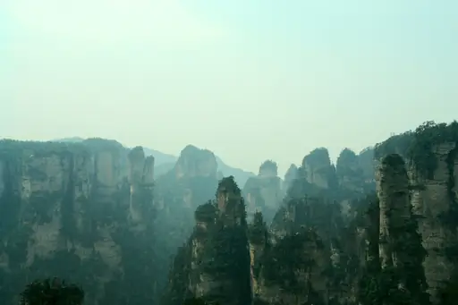
The Hallelujah Mountains in Zhangjiajie inspired the floating peaks in the film Avatar. Tall quartz sandstone pillars and towers rise from thick mist and green forest. Hikers climb stone stairs to viewpoints on Tianzi Mountain above the forest. A glass bridge spans the deep canyon nearby.
Region in India
Ladakh
Himalayan Cold Desert of Contrasts
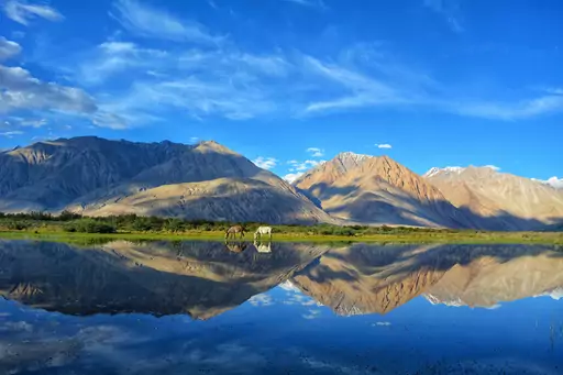
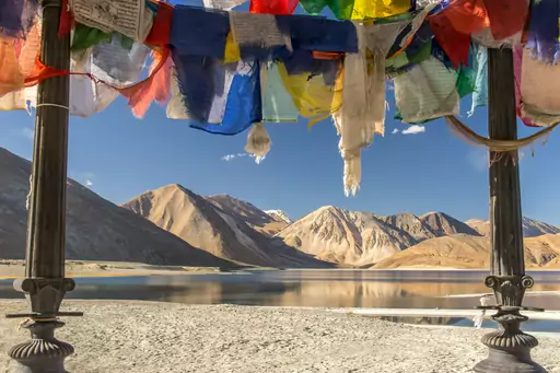
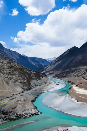
The Markha Valley trek in Ladakh crosses Kongmaru La at about 5,200 metres. Trekkers pass through small villages with whitewashed homes and barley fields. You can rest in a homestay and eat simple local meals. The route runs beneath the snow peaks of Stok Kangri.
Nature Reserve in Jordan
Wadi Rum
Valley of the moon's timeless magic
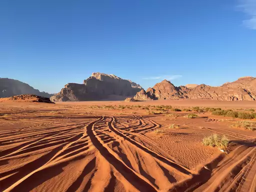
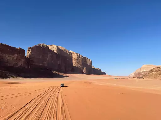
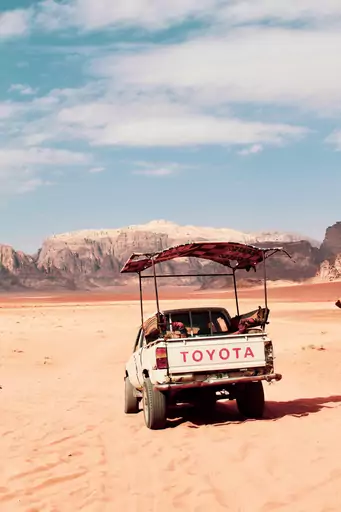
Burdah Rock Bridge arches high above the desert floor in Wadi Rum. A guided scramble leads up the sandstone face to the top of the arch. Hikers step across the natural span with sweeping views. Red dunes and stone towers stretch to the horizon in every direction.
City in Taiwan
Hualien
Gateway to Taroko’s Marble Wonders
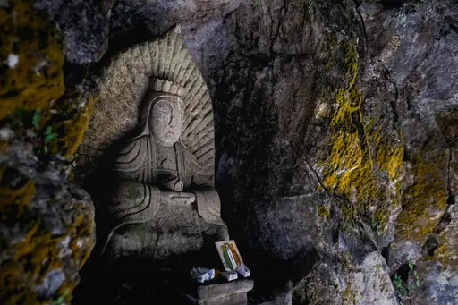
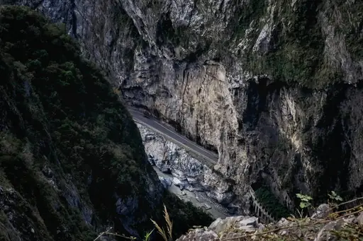
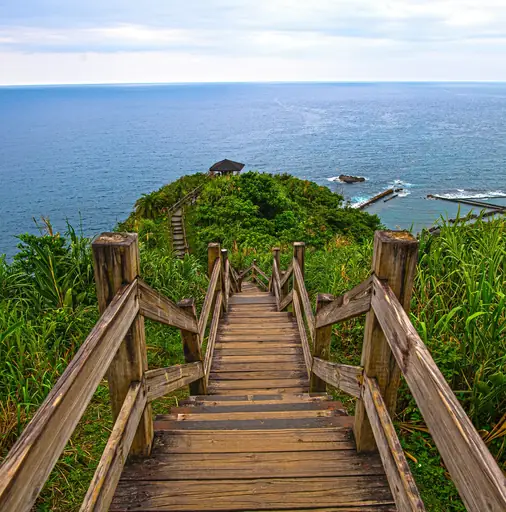
The Zhuilu Old Road clings to marble cliffs high above the Liwu River in Taroko Gorge. The narrow path was cut into the rock by local workers long ago. Hikers walk along sheer drops with wide gorge views. Permits are required so the trail stays quiet and safe.
Town in Georgia
Stepantsminda
Breathtaking Peaks and Ancient Churches
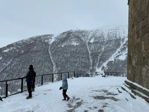
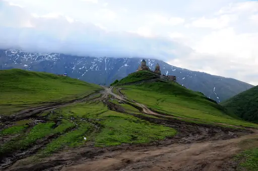
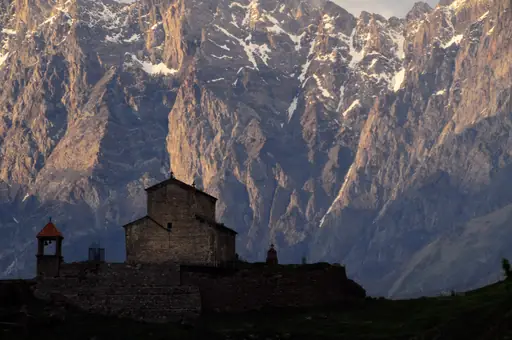
Gergeti Trinity Church stands at 2,170 metres below the glaciers of Mount Kazbek. A steep trail climbs to it from Stepantsminda in about two hours. Hikers see alpine meadows and sharp peaks along the path. Longer routes continue to the weather station near the glacier.
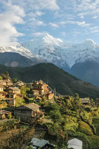
Region in Nepal
Annapurna
Legendary Trekking in Himalayan Diversity
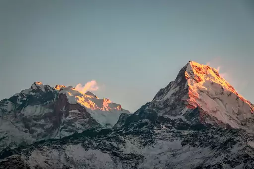
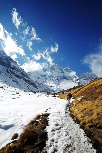
The Annapurna Circuit crosses Thorong La Pass at 5,416 metres. The route covers roughly 160 kilometres through changing valleys. You can sleep in village teahouses each night and watch Annapurna I glow at sunrise. Many trekkers finish with a soak in the hot springs at Tatopani.
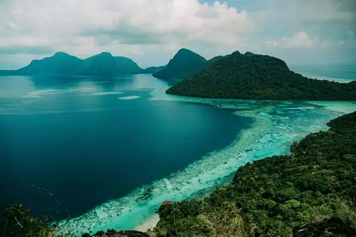
Island
Borneo
Wild rainforests meet unique wildlife
The Pinnacles hike in Gunung Mulu National Park ends at razor sharp limestone spires. Hikers climb the last stretch using ladders and ropes. The trail starts at a river camp reached by boat. Most people set out before dawn to see the spires at first light.

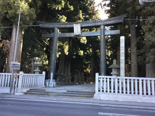
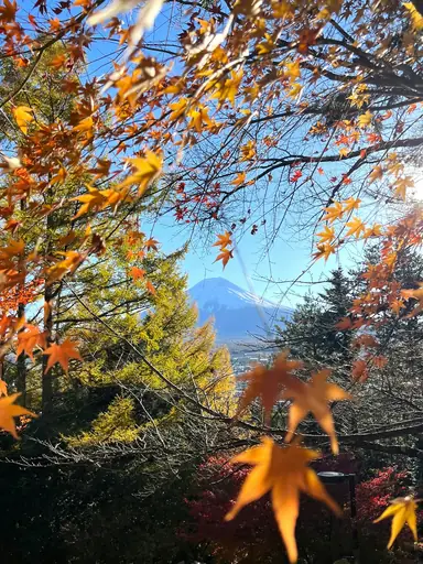
City in Japan
Fujiyoshida
Fuji's sacred trailhead with the pagoda view
The Chureito Pagoda sits at the top of 398 steps above the town. The five story tower frames Mount Fuji in a classic view. Hikers climb through quiet forest and cherry trees to reach it. Autumn maples turn the hillside bright red and gold in November.
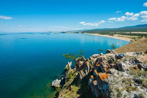
Lake in Russia
Lake Baikal
World's deepest lake, Siberia's jewel
The Great Baikal Trail follows the shore of the deepest lake on Earth. One popular section links Listvyanka with the hamlet of Bolshie Koty. Hikers climb through pine forest above clear blue water. In winter the frozen surface shows striking patterns of cracked blue ice.
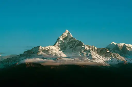
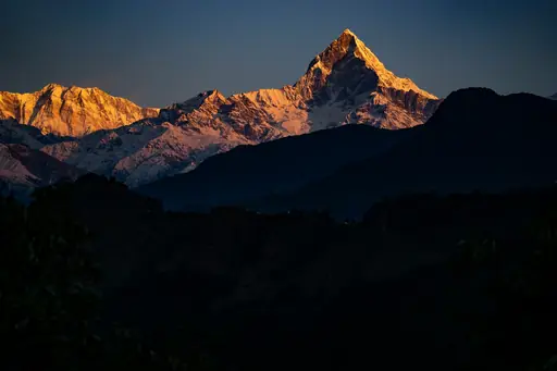
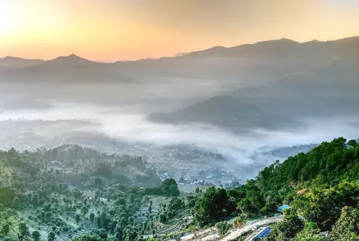
City in Nepal
Pokhara
Lakeside Calm, Himalayan Adventure Gateway
Poon Hill above Ghorepani offers a wide sunrise view over the Himalayas at 3,210 metres. Trekkers set out before dawn from village lodges by headlamp. From the top you can see Dhaulagiri and Annapurna glowing pink. Rhododendron forests fill the trail with red blooms in spring.
Region in Turkey
Cappadocia
A surreal land of fairy chimneys
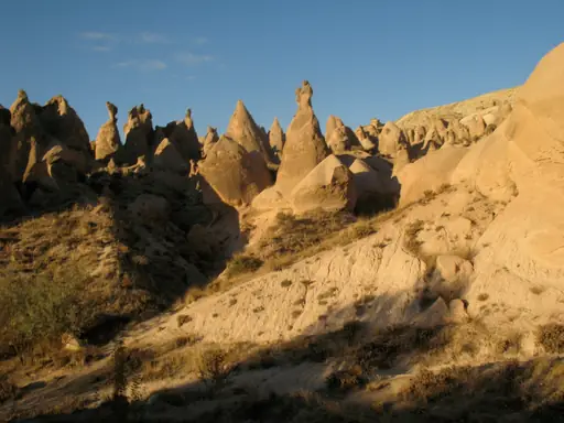
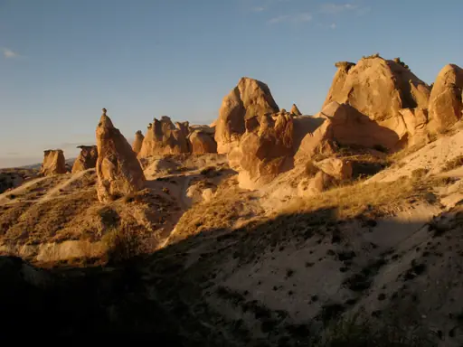
The Ihlara Valley is a gorge about 14 kilometres long with a river running through it. Byzantine monks carved more than a dozen churches into its cliffs. Hikers can walk the shaded riverside path past painted frescoes. Small cafes near the exit serve simple meals.
Country
Bhutan
Himalayan monasteries, dzongs and trekking trails
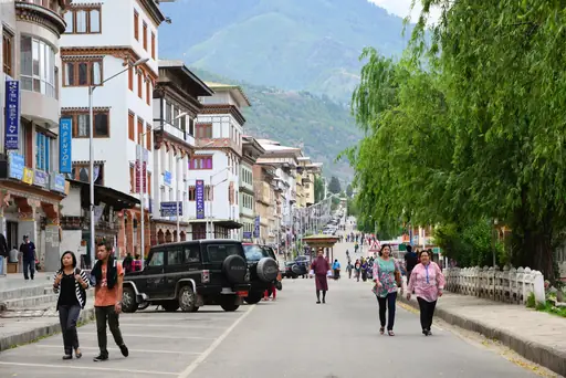
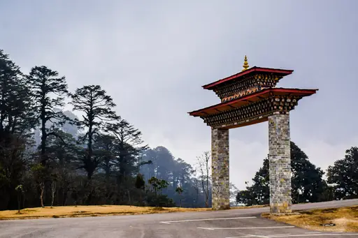
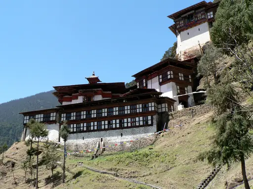
The Tiger's Nest monastery clings to a cliff about 900 metres above the Paro Valley. The path up takes around two hours. Hikers pass prayer flags and pine forest before reaching a viewpoint across the gorge. Longer treks like Jomolhari lead higher into the Himalayas.
Town in Turkey
Göreme
Fairy Chimneys and Cave Dwellings
Love Valley near Goreme is lined with tall rock chimneys shaped by ancient eruptions. A dirt trail winds between the pillars and small vineyard plots. You can walk it in about an hour from town. Sunset paints the stone in soft shades of orange and pink.
Mountain in Tajikistan
Pamir Mountains
The Remote Roof of the World
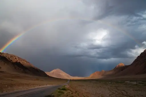
Ismoil Somoni Peak rises 7,495 metres in the Pamir Mountains and is the highest point in Tajikistan. Trekkers approach it from base camps in the high glacial valleys. You can travel the Pamir Highway to reach the trailheads. Nights are cold and the sky is full of stars.
Town in Georgia
Mestia
Ancient Towers and Alpine Adventures
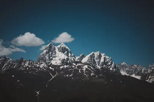
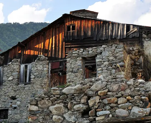
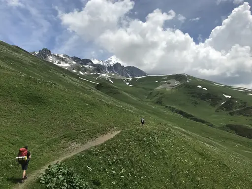
The village of Mestia is ringed by medieval Svan stone towers. A trail leads from town to the Chalaadi Glacier in a few hours. Hikers walk along a rushing river beneath high peaks and hanging ice. Longer routes continue to Ushguli, one of Europe's highest villages.
Mountain in China
Huangshan
Mystical Peaks and Ancient Villages
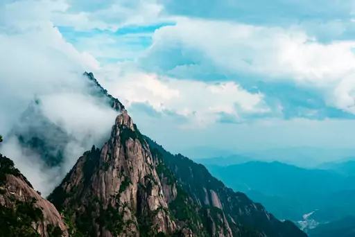
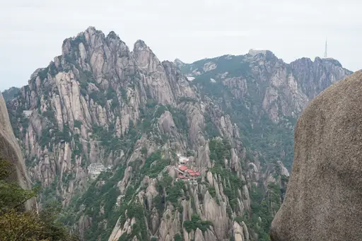
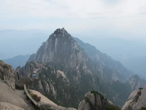
Lotus Peak rises 1,864 metres and is the tallest summit in the Yellow Mountains. Stone staircases carved into granite lead hikers to the top. You can watch twisted pines grow from bare rock cliffs and ridges. Clouds often fill the valleys far below at sunrise.
Town in Japan
Fujikawaguchiko
Lake town with Mount Fuji views and onsen
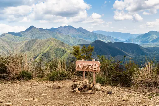
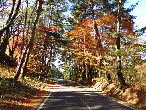
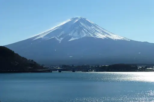
Mount Mitsutoge rises above Fujikawaguchiko with a view of Mount Fuji from its ridge. A steady path climbs through dense cedar forest to a small mountain hut. Hikers can rest on the open summit and eat lunch. Lake Kawaguchi shines far below in the morning sun.
National Park in Japan
Fuji-Hakone-Izu National Park
Fuji, Hakone, Izu and volcanic islands
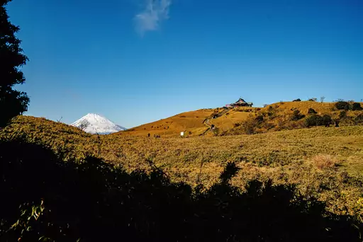
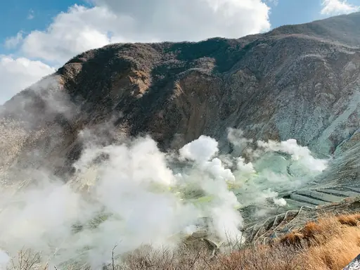
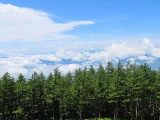
Hakone still keeps a stretch of the Old Tokaido road paved with Edo period stones. The path runs beneath tall cedar trees near Lake Ashi. Walkers can follow it for a few easy hours between mountain villages. Steaming volcanic vents at Owakudani sit close by the route.
City in Japan
Fuji
Mountain views, paper mills and fresh shirasu
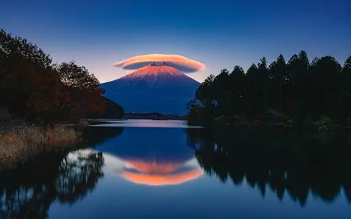
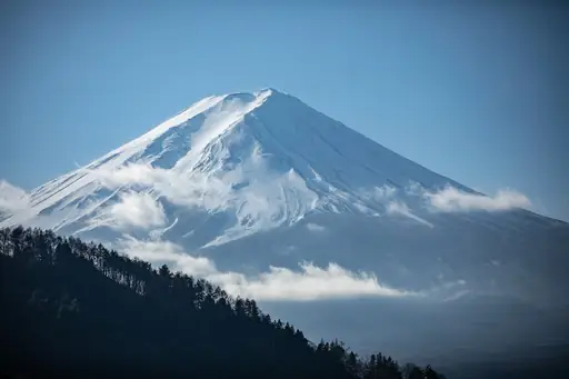
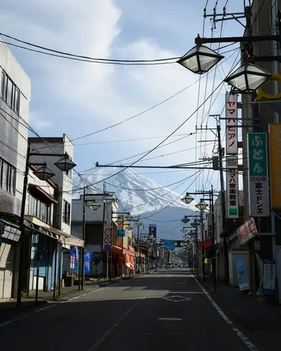
The Fujinomiya trail is the shortest route up Mount Fuji from the south. It starts high on the mountain at the fifth station. Climbers scramble over volcanic rock and reach the summit at 3,776 metres. Many hikers stay in a mountain hut to catch the sunrise.
Mountain
Mount Everest
World's highest peak, ultimate challenge
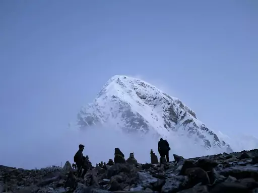
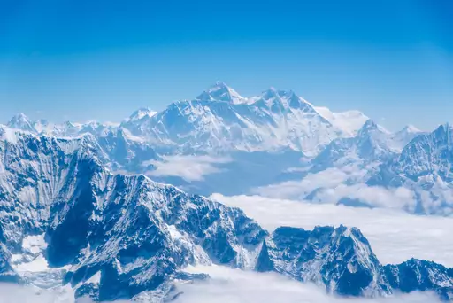
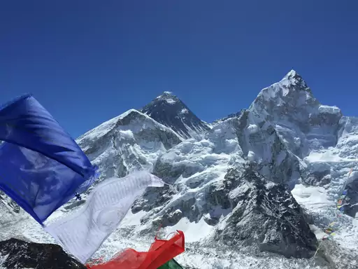
The Everest Base Camp trek reaches 5,364 metres beside the Khumbu Glacier. Most hikers also climb Kala Patthar at 5,644 metres for a closer look at the summit. You can stay in Sherpa teahouses along the route. Prayer flags mark the passes and bridges through the valleys.
Lake in Japan
Lake Kawaguchi
Mirror-like lake with the best Fuji views
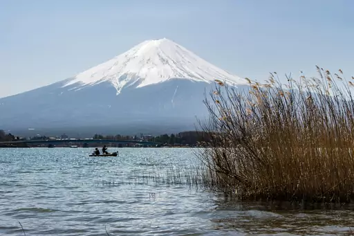
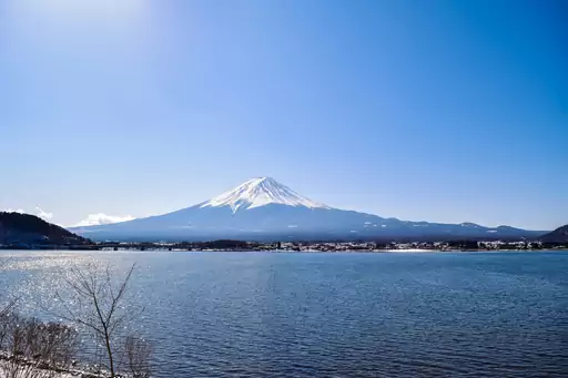
A ropeway lifts visitors above Lake Kawaguchi towards the trails of Mount Tenjo. The short climb leads to an open ridge with a full view of Mount Fuji. Hikers can also find a shrine along the way. The lake below shines in the morning light.
Mountain in Japan
Mount Fuji
Japan's highest peak and sacred volcano
The Yoshida trail is the most popular route up Mount Fuji. It begins at the fifth station and climbs to the 3,776 metre summit. Climbers walk mostly at night to reach the crater rim by dawn. The official season runs from early July to early September.

Historic Site in Jordan
Petra
Ancient city carved into rose-red stone
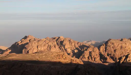
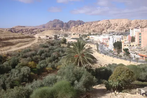
About 800 steps carved into the rock lead up to the Monastery at Petra. The stone facade is larger than the famous Treasury. Hikers climb through narrow canyons and past Bedouin tea stalls and small shops. The top offers wide views over the desert valleys and distant mountains.
Other lists you may like
Discover
Best hiking destinations in Africa
Africa's hiking ranges from the glaciated summit zone of equatorial high peaks and the vast plateau trails of the south to rainforest routes in the centre and dramatic coastal…
Read more
Discover
Best hiking destinations in Europe
Europe has one of the most developed long distance hiking cultures in the world, with a network of waymarked trails covering everything from high alpine routes and coastal paths to…
Read more
Discover
Best hiking destinations in North America
North America's hiking offer is defined by scale and wilderness, with trails passing through landscapes that dwarf anything found in more densely populated regions. From arctic…
Read more
Discover
Best hiking destinations in Oceania
Oceania's hiking spans an enormous geographic range, from the ancient eroded ranges of Australia's interior and the dense rainforests of its tropical north to the dramatic alpine…
Read more
Discover
Best hiking destinations in South America
South America's hiking is shaped by extreme contrasts in altitude, climate and terrain. The Andes form the spine of the continent, offering everything from high-altitude desert…
Read more

Discover
Top hiking destinations and famous trails
Hiking at its best is one of the most direct ways to engage with a landscape. The pace forces a relationship with terrain, weather and distance that faster forms of travel rarely…
Read more
What other users say about travelfilters
“travelfilters made it easy for me to find ski areas and compare what else they offer, so that I could find the best place for my personal travel style.”

Chris
Snowboarding & Onsen trip to Japan
“I love how transparent the data feels. There is no pushy upsell, just honest information and settings I can tune to my own travel style.”

Maria
After booking her 2027 winter escape
“The level of detail for each destination and how well those are displayed, make planning feel confident instead of overwhelming.”

Mina
Planned a week in New York City
“We used travelfilters for our planning from start to end. The trip turned out even better than expected, thanks to all their tools and customisation options.”

Allan & Etienne
Trip to Japan to see autumn foliage
“Thanks to travelfilters, I found some hidden gems to see. Being able to filter for exactly your interests is a game changer for my travel planning.”

Michael
Tour through the old cities of Northern Italy
“The customizable filters helped me find a quiet beach town with good wifi and low season crowds in under five minutes.”

Diego
Weekend Escape to Llanes, Spain
“The airport connection map saved me hours by showing good flight options from my home airport to lesser-known cities.”

Nguyen
Planning a 2027 trip to France
“The website is clean, fast and focused on the search itself, which makes travelfilters feel more like a professional tool than an ad-heavy booking site.”

Hassan
Christmas Market trip, Germany
