
Best hiking destinations in Europe
Best hiking destinations in Europe
Well-marked alpine paths and long-distance coastal walks in Europe
Europe has one of the most developed long distance hiking cultures in the world, with a network of waymarked trails covering everything from high alpine routes and coastal paths to ancient pilgrimage ways and cross-border wilderness trails that pass through some of the continent's most spectacular landscapes. The infrastructure around walking here is generally excellent, making self-supported multi-day hiking more accessible than almost anywhere else.
The variety of terrain is considerable. Glaciated mountain environments, Mediterranean coastal paths, volcanic landscapes, Atlantic cliff walks and ancient forest trails all exist within a continent where the distance between very different hiking experiences is rarely more than a few hours. Many of Europe's best trails pass through villages and towns with accommodation and food, reducing the logistical burden considerably.
Seasonality and trail conditions vary significantly by region and elevation. High alpine routes are only accessible for a limited summer window, while lower trails can be walked for much of the year. Popular routes fill up quickly during peak season and accommodation on the most celebrated trails requires advance booking. Choosing less visited alternatives often delivers comparable scenery with a fraction of the crowds.
Lists by region
National Park in Spain
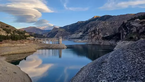
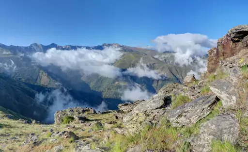
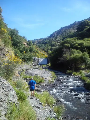
Sierra Nevada National Park
Spain’s Rooftop of Sun and Snow
Mulhacén rises 3,479 metres in Sierra Nevada and is the highest peak on the Iberian Peninsula. Hikers climb it in a long day from the village of Capileira. Snow covers the summit from autumn until early summer. The Mediterranean and even the coast of Africa can be seen on clear days.
Region in Italy
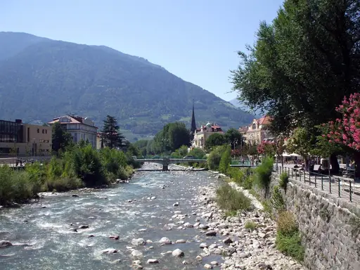
South Tyrol
Alpine culture where worlds collide
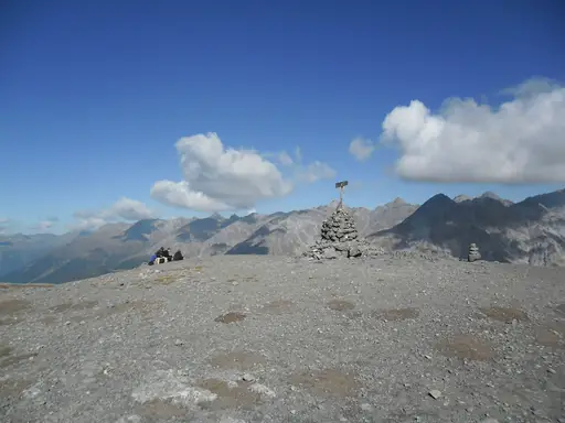
The Seceda ridge in the Dolomites rises above green meadows in a jagged line. A cable car from Ortisei carries hikers to the start. Trails cross the grassy slopes below the peaks and lead to small huts. Views stretch across Val Gardena and the Sella massif.
Region in Switzerland
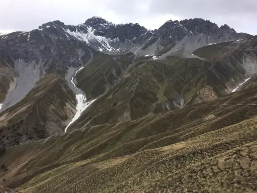
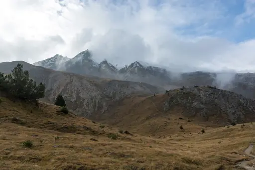
Graubünden
Alpine wonderland with pristine lakes and trails
The Ruinaulta gorge in Graubünden is known as the Swiss Grand Canyon. A trail follows the young Rhine through tall white limestone cliffs. Hikers can stop on gravel beaches beside turquoise water and watch colourful rafts pass by. The Rhaetian Railway runs along the canyon floor.
City in France
Chamonix-Mont-Blanc
Alpine thrills beneath Mont Blanc
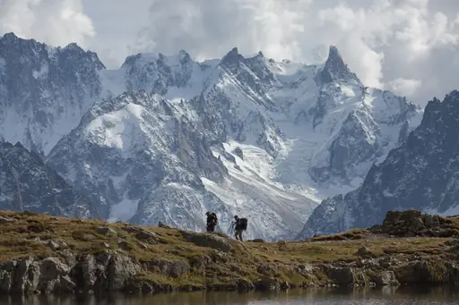
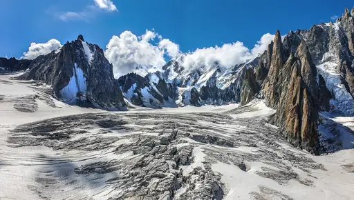
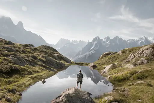
The Tour du Mont Blanc circles the highest mountain in the Alps over about 170 kilometres. Most walkers take about ten days to cross France, Italy and Switzerland. You can sleep in mountain huts and eat in alpine villages. Glaciers hang above the trail and streams cross it.
Region in Austria
Tyrol
Alpine paradise in all seasons
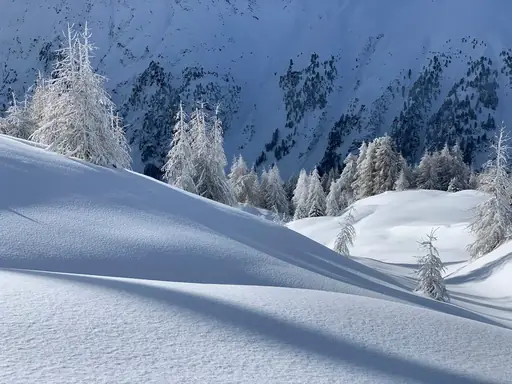
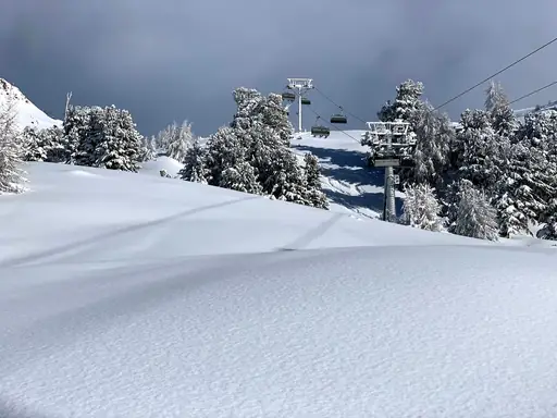
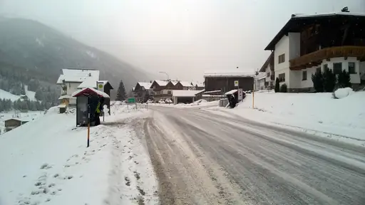
The Stubai High Trail circles the glaciers of the Stubai Alps in about eight days of steady walking. Hikers move from hut to hut across high windy passes. Trails pass small blue lakes and lingering snowfields. Each hut serves hearty Tyrolean food and cold beer.
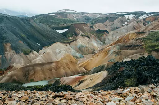

Region in Iceland
Landmannalaugar
Colorful mountains and natural pools
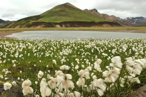
The Laugavegur trail runs about 55 kilometres from Landmannalaugar to Þórsmörk. Hikers pass rhyolite mountains in pink, yellow and green shades. You can bathe in a natural hot stream at the start of the trek. Huts stand along the route and need booking in summer.
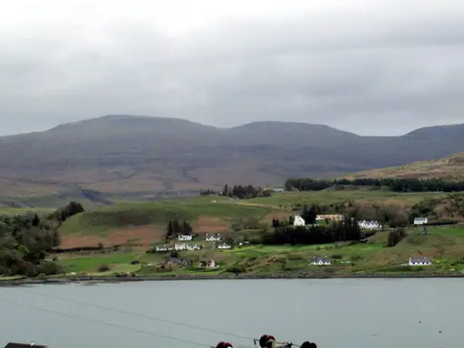
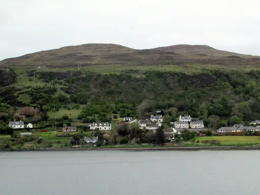
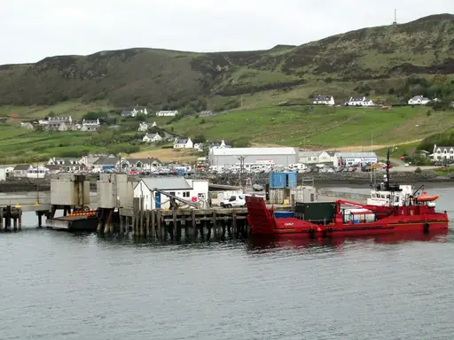
Island in United Kingdom
Isle of Skye
Dramatic Landscapes and Ancient Legends
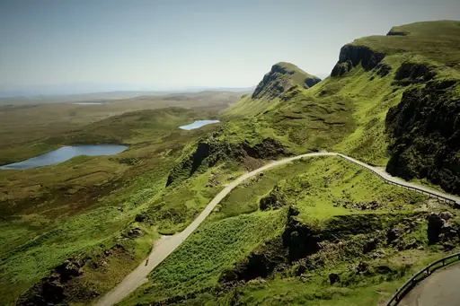
The Quiraing on the Isle of Skye is a landslip ridge of rock spires and grassy slopes. A loop trail of about seven kilometres passes The Needle and The Table. Hikers see cliffs dropping towards the sea. Weather changes quickly here so hikers should pack warm layers.
National Park in Italy
Dolomites National Park
Towering peaks and pristine wilderness
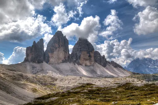
The Tre Cime di Lavaredo loop circles three giant limestone towers in the Dolomites. The trail is about ten kilometres long and mostly flat. Hikers pass mountain huts and pale scree slopes on the loop. The peaks glow orange at sunset and draw many photographers.
Valley in France
Rhône Valley
Lush vineyards and alpine vistas
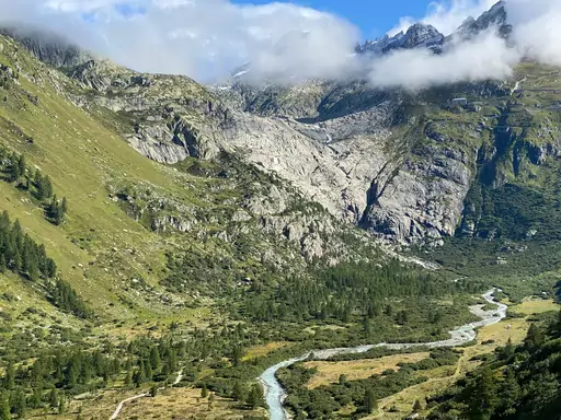
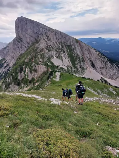
Old irrigation channels called bisses cling to cliffs in the Rhône Valley of Valais. Narrow paths follow the water through vineyards and forest. Some sections pass through rock tunnels and along rail guarded ledges. Hikers get wide views of the valley and the Alps beyond.
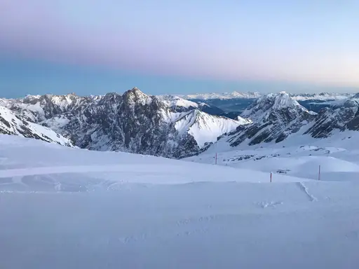
Town in Germany
Garmisch-Partenkirchen
Alpine town below Germany's highest peak
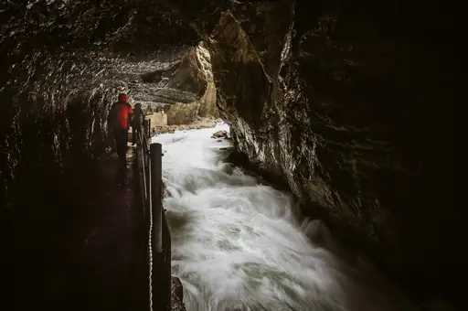
The Partnach Gorge near Garmisch is a narrow and dramatic canyon cut deep into the limestone. A path runs through tunnels beside foaming water. You can walk the whole gorge in about an hour from the ski stadium. Icicles and frozen falls cover the walls in winter.
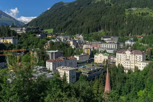
Town in Austria
Bad Gastein
Soothing alpine waters in picturesque valley
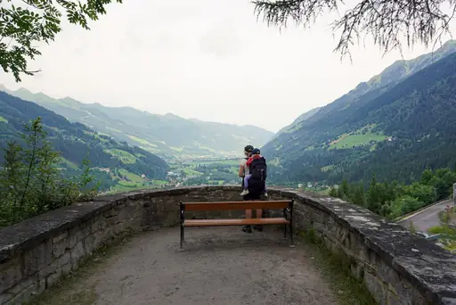
The Gastein Waterfall crashes down through the centre of Bad Gastein. Trails lead from the town centre up to alpine meadows and old miners' paths. Hikers can end the day in a thermal bath. Grand Belle Époque hotels line the steep slopes of the town below.
National Park in Spain
Picos de Europa National Park
Jagged Peaks, Deep Gorges, Wild Spain
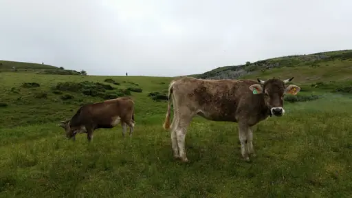
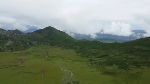
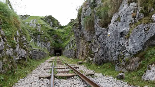
The Cares Gorge trail runs about 12 kilometres between Poncebos and Cain in Picos de Europa. The path is carved into the cliffs above a river. Hikers pass short tunnels and small bridges on the way. Chamois and griffon vultures are easy to spot above the gorge.
National Park in United Kingdom
Snowdonia National Park
Mythic Peaks and Wild Welsh Beauty
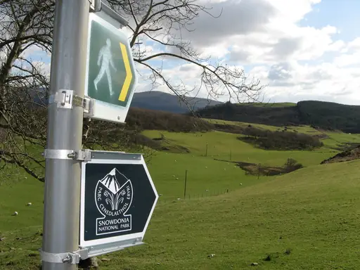
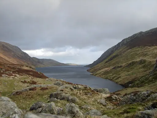
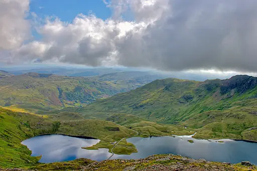
Snowdon is the highest mountain in Wales at 1,085 metres above sea level. Six main paths lead to the summit from villages around the mountain. Hikers can climb the narrow Crib Goch ridge or follow the easier Llanberis path. A small mountain train also runs to the top in summer.
Village in Switzerland
Grindelwald
A Majestic Swiss Mountain Village
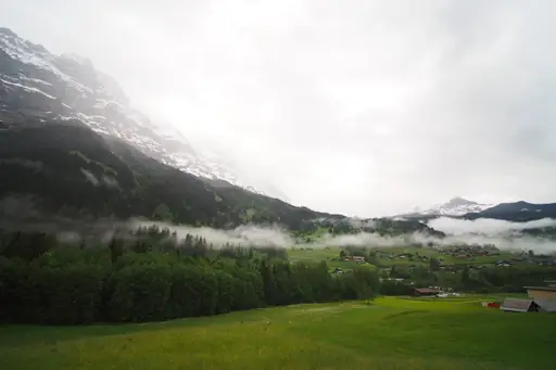
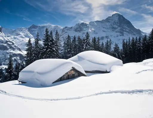
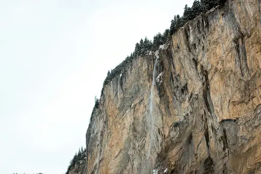
The Cliff Walk above Grindelwald is a steel walkway that hangs on the mountain face. A trail from the same station leads to Bachalpsee Lake in about an hour. The lake mirrors the Eiger and Wetterhorn. Cows graze on the green meadows around it all summer.
Village in Switzerland
Wengen
Car-Free Alpine Bliss and Epic Views
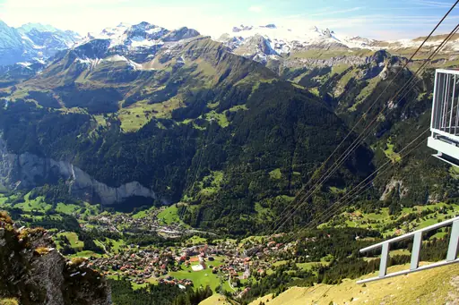
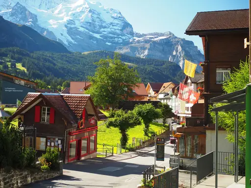
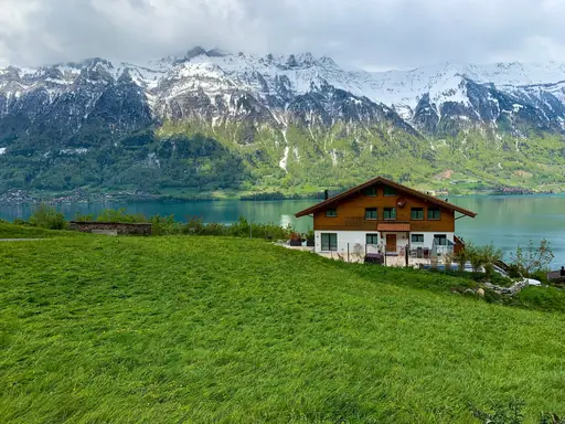
The panorama trail from Männlichen to Kleine Scheidegg starts near Wengen. It is an easy path of about an hour and suits families and beginners. Hikers see the Eiger, Mönch and Jungfrau ahead the whole way. Cows with bells graze on the meadows beside the trail.
Town in Switzerland
Interlaken
Adventure, Lakes and Alpine Magic
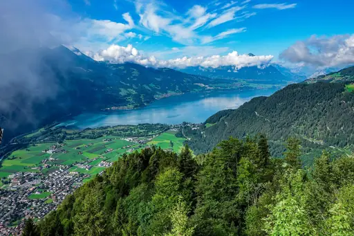
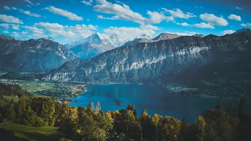
The Harder Kulm viewpoint stands at 1,322 metres above Interlaken. A steep trail climbs through forest from the edge of town. The top offers a wide view between Lake Thun and Lake Brienz below. You can see Eiger, Mönch and Jungfrau rising beyond the lakes.
Region in United Kingdom
Scotland
Mystic Highlands and Historic Castles
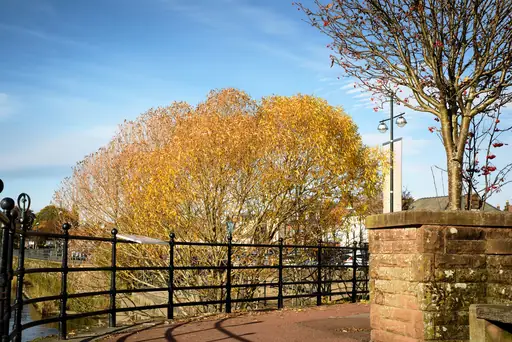
The West Highland Way runs about 154 kilometres from Milngavie to Fort William. Hikers pass Loch Lomond and cross the wild Rannoch Moor. You can finish beneath Ben Nevis in the town of Fort William. Small inns and cosy B&Bs line the route for walkers.
Region in Italy
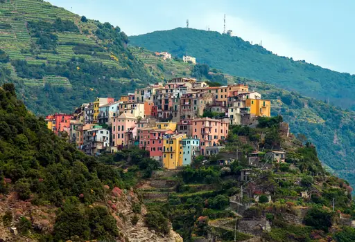
Cinque Terre
Colorful Cliffs and Coastal Charm
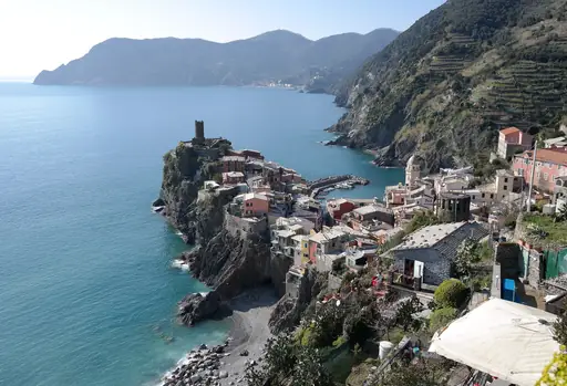
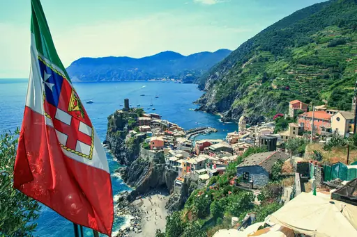
The Sentiero Azzurro links the five Cinque Terre villages along the Ligurian coast. Hikers walk between pastel houses and steep vineyard terraces. You can stop for fresh focaccia or grilled seafood in each village. The trail passes rugged cliffs and small coves high above the sea.
Region in Finland
Lapland
Northern lights and midnight sun
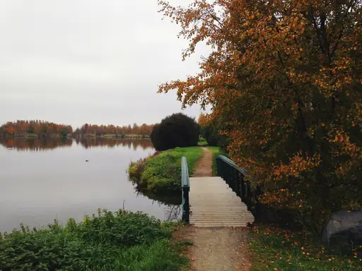
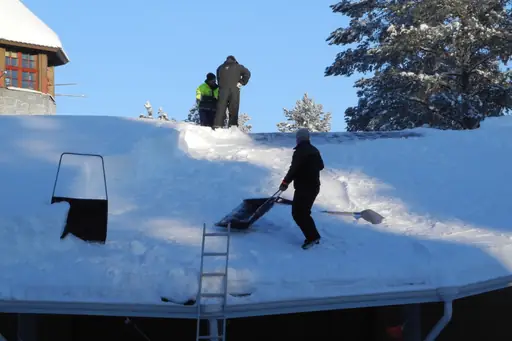
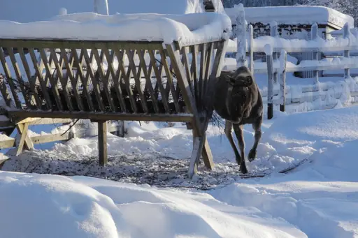
The Hetta to Pallas trail crosses Pallas Yllästunturi National Park for about 55 kilometres. Wooden huts stand along the route for overnight stays. Hikers cross bare fells and pine forest in Finnish Lapland. Reindeer graze near the path in summer and northern lights often appear in autumn.
Town in Switzerland
Zermatt
Alpine Magic and the Matterhorn
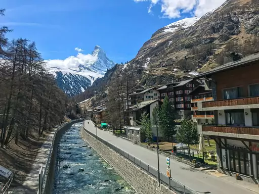
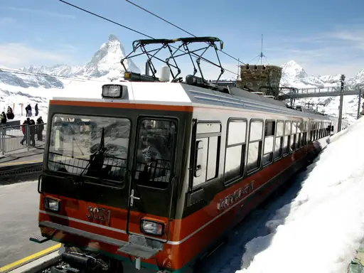
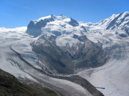
The Matterhorn stands 4,478 metres above Zermatt and defines the skyline. The Five Lakes Walk passes mountain ponds that mirror the peak on calm days. You can ride a train up to the Rothorn or Gornergrat. Trails cover every level from easy strolls to hard climbs.
National Park in Switzerland
Swiss National Park
Majestic alpine wilderness, untouched and serene
The Swiss National Park in Engadin has protected its wild valleys since 1914. Marked trails cross pine forests and open alpine slopes. Hikers often see ibex, chamois, red deer and marmots. Visitors must stay on the paths and dogs are not allowed in the park.
National Park in Slovenia
Triglav National Park
Slovenia’s Natural Beauty
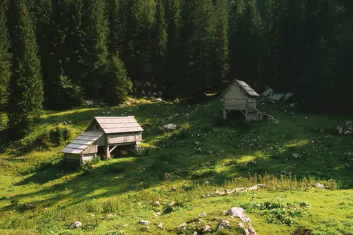
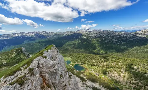
Triglav is Slovenia's highest peak at 2,864 metres and appears on the national flag. Climbers use fixed cables on several rocky sections. Most people stay in a mountain hut along the way. The summit gives wide views across the Julian Alps and far into Italy.
Village in Switzerland
Andermatt
Alpine Adventure Awaits You
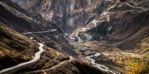
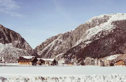
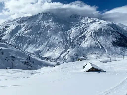
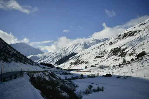
The Devil's Bridge spans the wild Schöllenen Gorge near Andermatt in central Switzerland. A rocky path leads down from the village to the old stone arch. Hikers can continue along the Reuss River towards high Alpine passes. The Gotthard region has trails for every level and season.
Village in Switzerland
Lauterbrunnen
Valley of 72 waterfalls
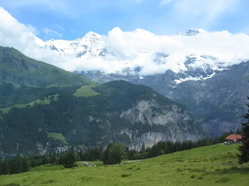
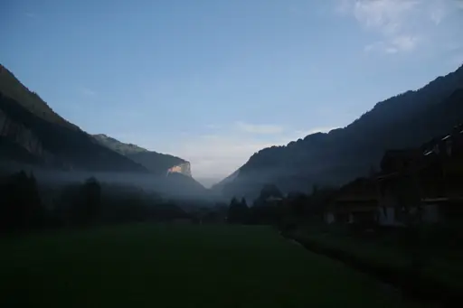
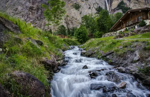
Lauterbrunnen Valley is a deep glacial valley with 72 waterfalls. Staubbach Falls drops nearly 300 metres from a cliff above the village. Easy flat trails follow the valley floor between meadows and stone chalets. The Trümmelbach Falls roar inside a mountain and can be visited nearby.
Region in United Kingdom
Wales
Land of castles and rugged coasts
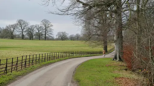
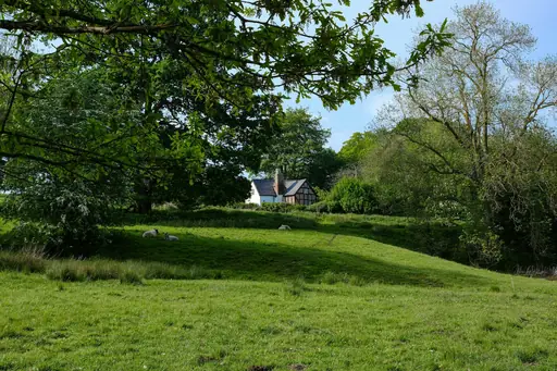
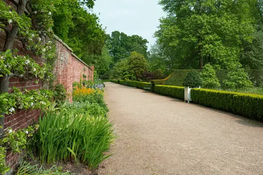
The Pembrokeshire Coast Path follows the Welsh shoreline for about 299 kilometres around the whole coast. Walkers pass tall sea cliffs and quiet golden beaches. You can spot seals and puffins on the offshore islands. Small harbour villages offer pubs and comfortable places to rest.
Village in Norway
Reine
Lofoten’s Iconic Fjord Village
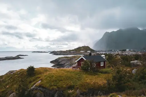
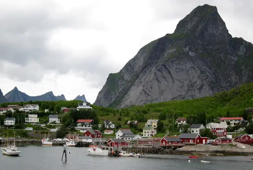
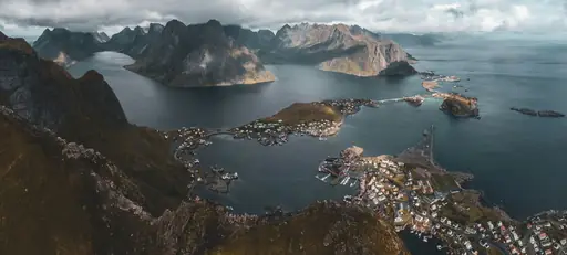
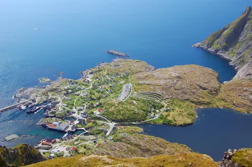
The Reinebringen trail climbs about 450 metres above the village of Reine on Lofoten. Nearly 2,000 stone steps lead to the top. Hikers look down on red cabins and turquoise water between sharp peaks and calm bays. The view is among the most photographed in Norway.
National Park in Norway
Jotunheimen
Home of giants and glaciers
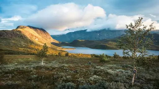
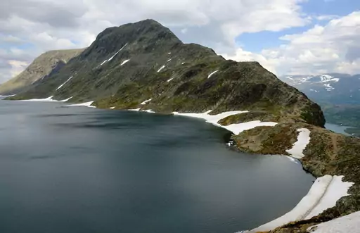
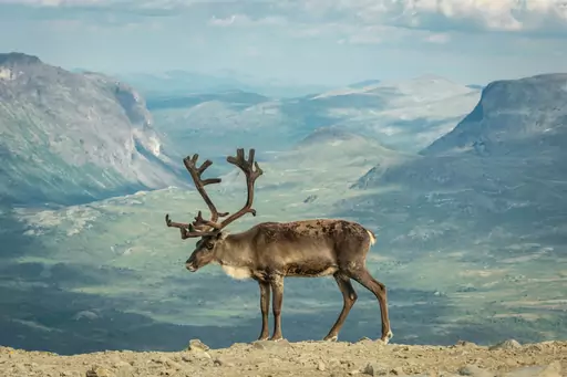
The Besseggen ridge in Jotunheimen runs between two lakes of different colours. Green Gjende lies on one side and blue Bessvatnet on the other. Hikers walk about 14 kilometres with a steep scramble at the start. A boat ride returns them across the lake to the trailhead.
Region in United Kingdom
Scottish Highlands
Rugged Beauty and Ancient Legends
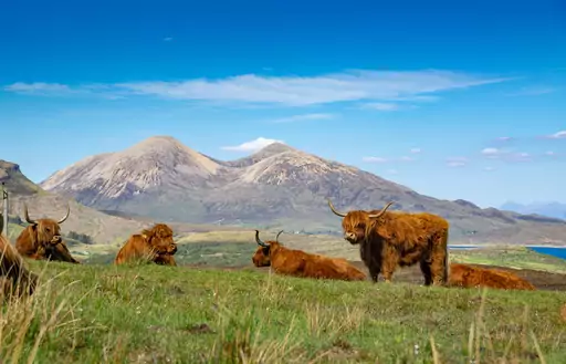
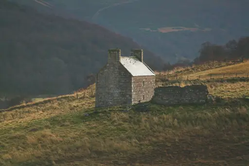
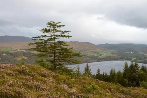
Ben Nevis is the highest mountain in the British Isles at 1,345 metres. The Mountain Track begins at the visitor centre in Glen Nevis. Hikers climb steadily over rocky slopes to a stone summit plateau. Snow can linger there into early summer and hide the path.
Island in Spain
Tenerife
Volcanoes, Beaches and Endless Sun
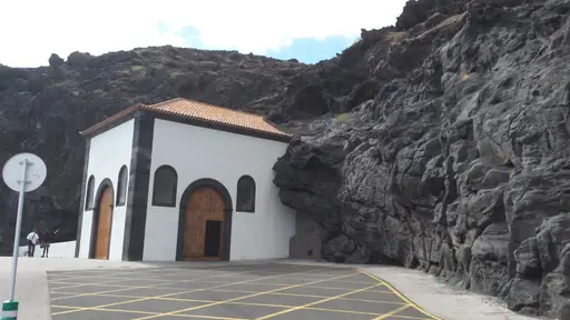
Masca is a village at the head of a deep gorge on Tenerife. A steep trail follows the ravine down to a small beach. Hikers pass tall cliffs and old farming terraces on the way. A boat can return them to the harbour if they prefer not to climb back up.
Town in United Kingdom
Portree
Colorful Harbour in the Scottish Highlands
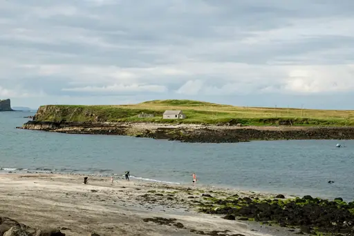
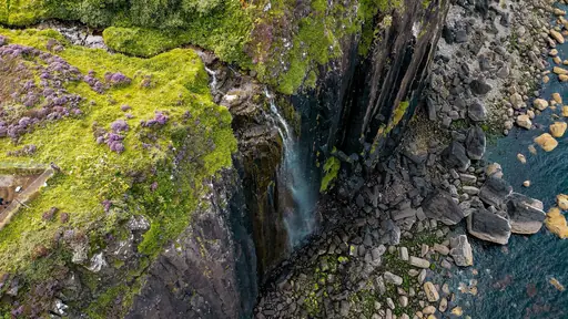
The Old Man of Storr is a tall rock pinnacle above Portree on the Isle of Skye. A path of about two hours climbs to its base. Hikers see high cliffs and a vast sweep of sea below. Mist often wraps the pillars and drifts over the ridge.
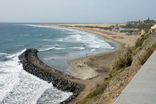
Island in Spain
Gran Canaria
Dunes, Volcanoes, Beaches and Culture
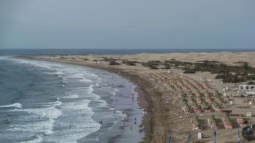
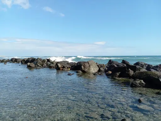
Roque Nublo is a volcanic rock pillar rising about 80 metres from a ridge on Gran Canaria. A short trail leads to its base at 1,813 metres. Hikers look out over the island and towards Mount Teide. Clouds often gather below the peak in the morning.
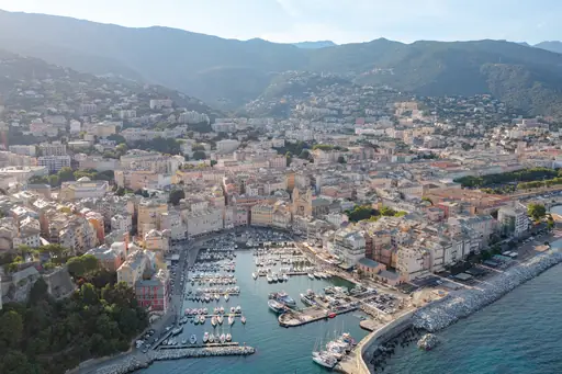
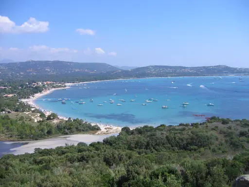
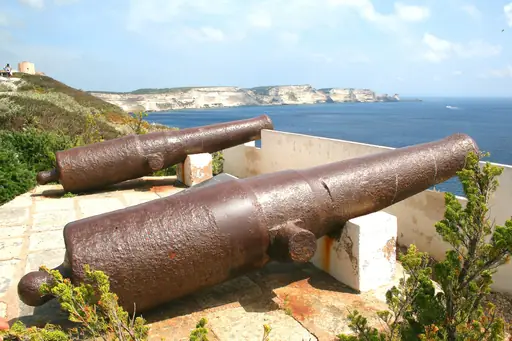
Island in France
Corsica
Island of Beauty and Contrast
The GR20 crosses Corsica for about 180 kilometres along its mountain spine. Hikers scramble over granite ridges and cross cold mountain streams. You can sleep in mountain refuges and watch clouds roll over the peaks. Many hikers call it one of the toughest treks in Europe.
Village in Italy
Riomaggiore
Pastel Cliffs Meet Azure Sea
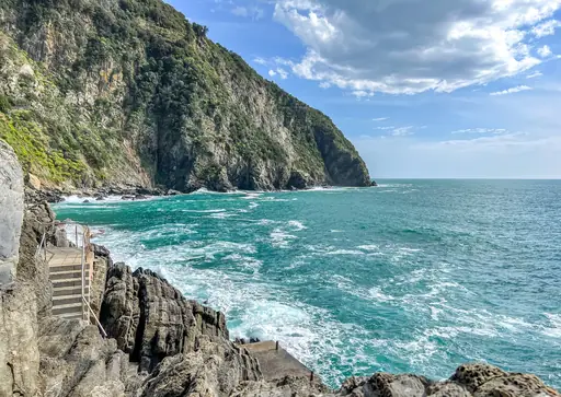
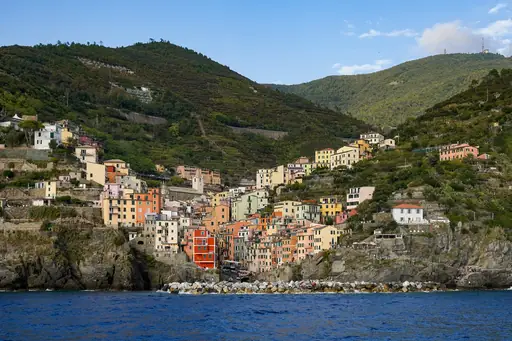
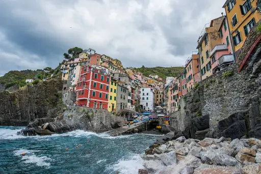
The Via dell'Amore is a short paved path cut into the cliffs between Riomaggiore and Manarola. Couples once left padlocks on the railings as a token of love. You can walk the path in about half an hour. The Mediterranean glitters far below the rocky path.
Mountain
Pyrenees
Where France meets Spain majestically
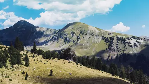
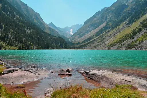
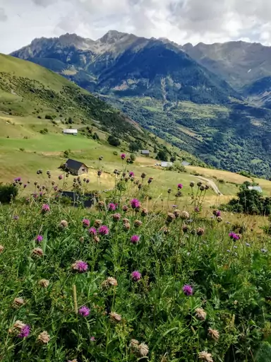
The Ordesa Canyon in the Spanish Pyrenees ends at a waterfall known as Cola de Caballo. A path follows the river through beech forest below sheer limestone walls. The round trip takes most of a day from the trailhead. Marmots and vultures are easy to spot.
Island in Norway
Lofoten
Dramatic Peaks and Northern Lights
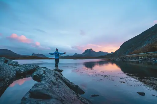
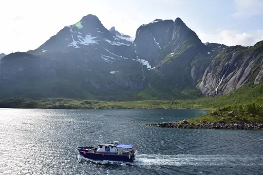
The hike to Kvalvika Beach on Lofoten starts near the village of Fredvang. A path leads over Ryten peak for a wide look at the coast and open sea. Hikers descend to a curved beach ringed by steep mountains. Camping on the sand is popular in summer.
City in Italy
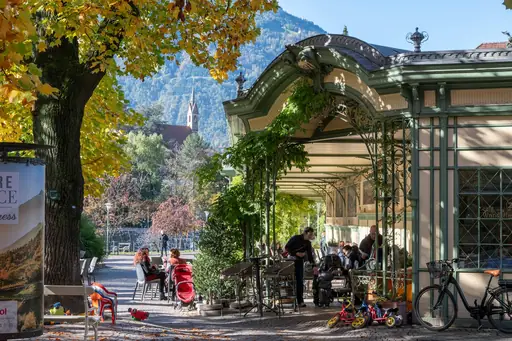
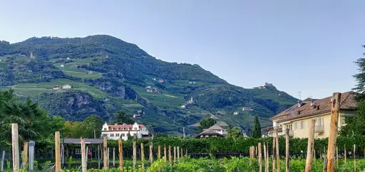
Bolzano
Where Alpine peaks meet Italian soul
The Earth Pyramids on the Ritten plateau near Bolzano are tall pillars of clay topped with boulders. A forest path leads to the viewpoint. Hikers can also ride a comfortable cable car up from town. The Dolomites rise on the horizon beyond the pillars.
Region in Germany
Saxon Switzerland
Sandstone towers and Elbe valley hikes
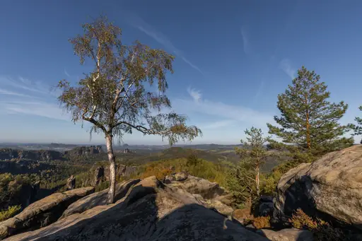
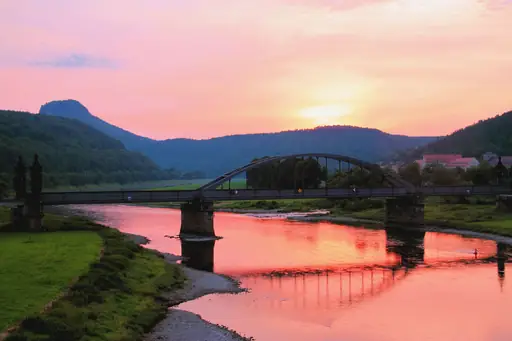
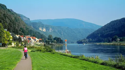
The Bastei is a group of sandstone rocks in Saxon Switzerland with a stone bridge built in 1851. Stairs and footpaths wind through the towers of the Elbe Sandstone Mountains. Hikers can follow the long Malerweg trail. The river loops through a green valley below.
National Park in Iceland
Vatnajökull National Park
Glaciers, Volcanoes and Ice Caves
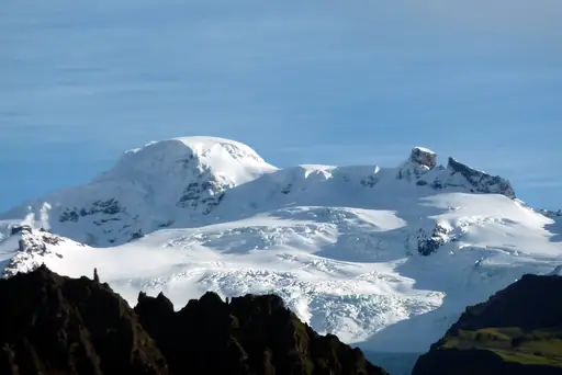
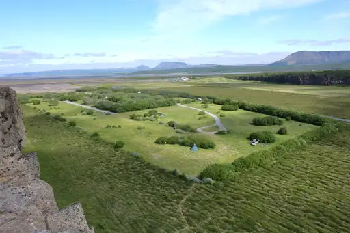
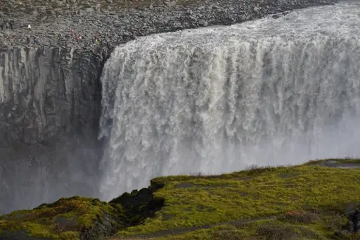
Svartifoss in Skaftafell drops over dark basalt columns shaped like organ pipes in a cliff. A trail of about two kilometres climbs from the visitor centre at Skaftafell. Hikers pass several smaller falls on the way up. Glaciers shimmer beyond the valley and feed the rivers.
Island in Portugal
Madeira
Dramatic Cliffs and Eternal Spring
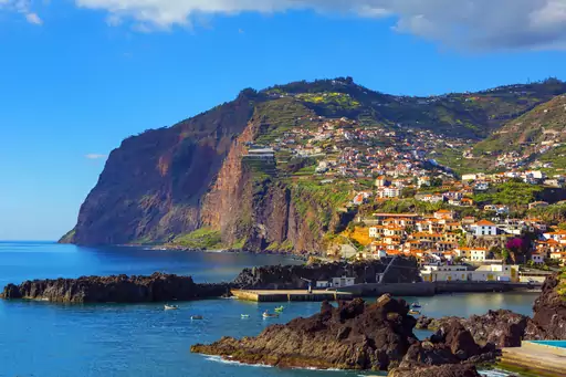
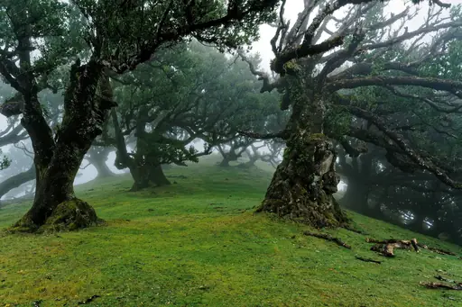
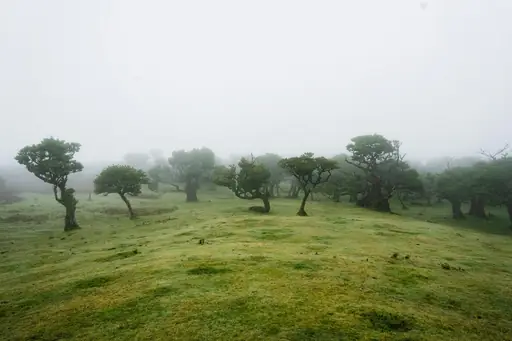
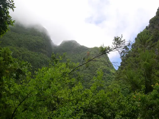
Madeira is crossed by old irrigation channels known as levadas that make flat walking paths. The trail from Pico do Arieiro to Pico Ruivo climbs over the island's highest ridges. Hikers pass dark tunnels and cloud filled valleys along the narrow ridge. Pico Ruivo reaches 1,862 metres.
Valley in Austria
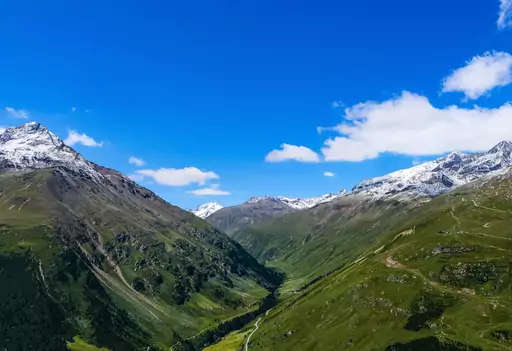
Ötztal
Majestic alpine valley with crystal lakes
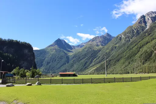
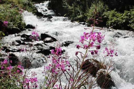
Ötzi the Iceman was found in the Ötztal Alps in 1991 by hikers at about 3,210 metres. Trails lead to the Similaun area near the find. Hikers cross wide and quiet glacial valleys and stony passes. A museum in Bolzano tells his full story in detail.
Island in Spain
La Palma
Volcanic beauty under starry skies
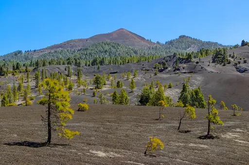
The Roque de los Muchachos is the highest point of La Palma at 2,426 metres. Hikers can follow the rim of the Caldera de Taburiente. Volcanic cliffs drop steeply into a green crater. Some of the largest telescopes in the world sit near the summit.
Town in Italy
Cortina d'Ampezzo
Dolomite Peaks, Alpine Glamour, Adventure
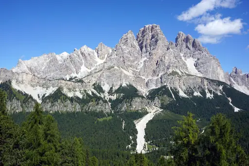
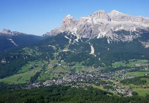
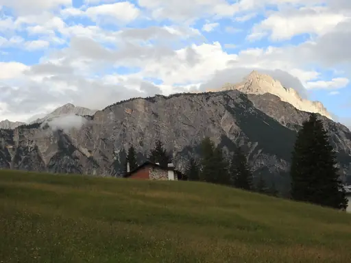
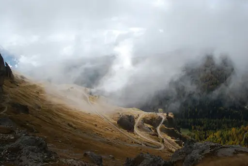
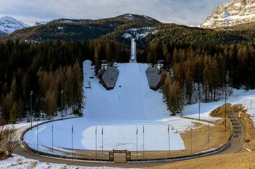
The Cinque Torri near Cortina d'Ampezzo are five rock towers used as World War I outposts. Trails lead through open trenches and small museums. Hikers can ride a chairlift on the lower slope. Views stretch to Tofana and the many jagged peaks of the Dolomites.
Nature Reserve in Greece
Meteora
Monasteries Suspended in the Sky
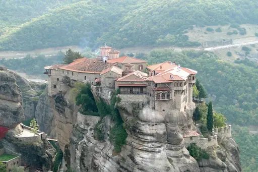
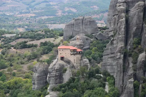
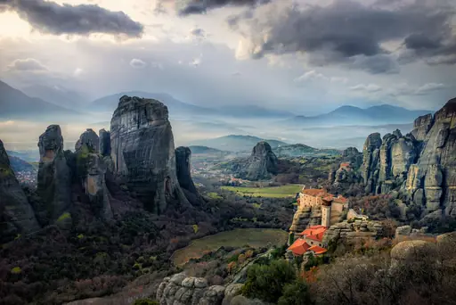
Meteora is famous for Byzantine monasteries built on tall pillars of sandstone. Old footpaths link the rocks and the monasteries across the plain below. Hikers climb stone steps cut into the cliffs and pass small hermit caves. Sunset lights the towers in gold and pink over the valley.
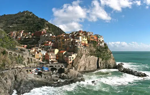
Village in Italy
Manarola
Enchanting Cliffside Coastal Village
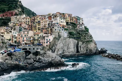
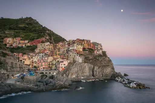
A path from Manarola to Corniglia winds through terraced vineyards above the sea. The walk is about three kilometres long and rises through small farms. Hikers pass stone walls built centuries ago. You can taste local Sciacchetrà wine in Manarola afterwards on a sunny terrace.
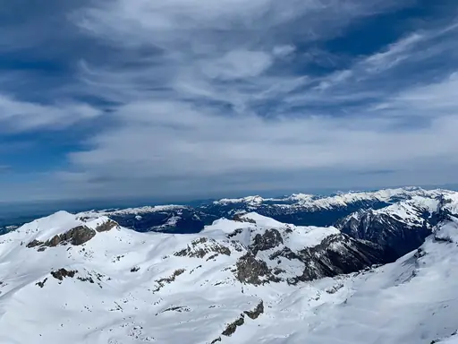
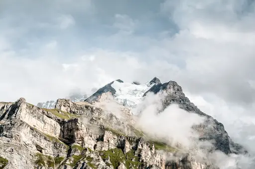
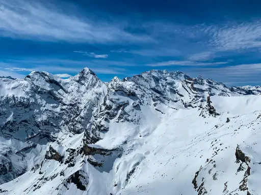
Mountain in Bern
Schilthorn
Epic views in Bond country
The Schilthorn is a 2,970 metre summit above Mürren with the Piz Gloria revolving restaurant. A cable car runs up from Stechelberg through Mürren. Hikers can ride up and walk back along ridges towards Mürren. The Bernese Alps spread out in every direction from the top.
City in Austria
Innsbruck
Alpine Peaks and Imperial Streets
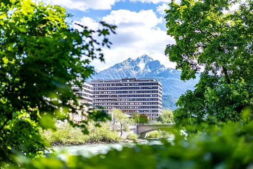
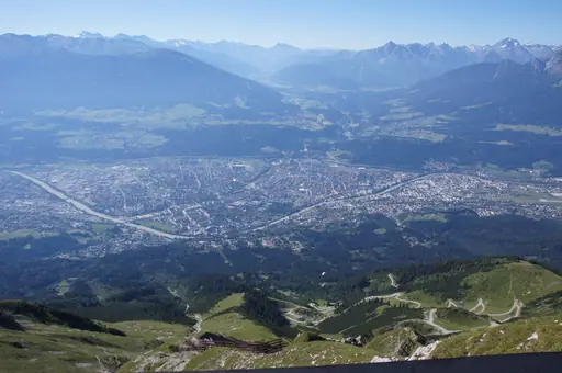
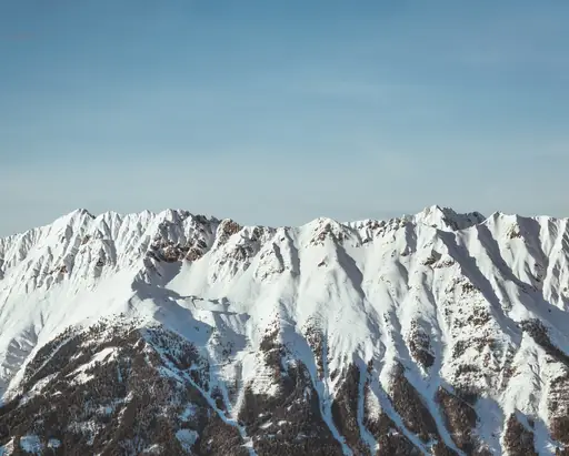
The Nordkette range rises straight above Innsbruck and can be reached by cable car from the city. Hikers walk from Hafelekar towards the alpine ridge. The trail passes limestone crags and open alpine meadows. Views take in the city rooftops and the wide Inn Valley below.
Island in Spain
Canary Islands
Spain's volcanic paradise year-round
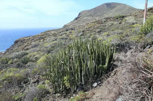
Garajonay National Park on La Gomera holds a rare laurel forest that dates back millions of years. Mist drifts through mossy trees on the trails. Hikers can reach the summit of Alto de Garajonay in an easy walk. Deep ravines cut through the island and end at quiet villages.
City in Iceland
Reykjavík
Vibrant city amidst stunning nature
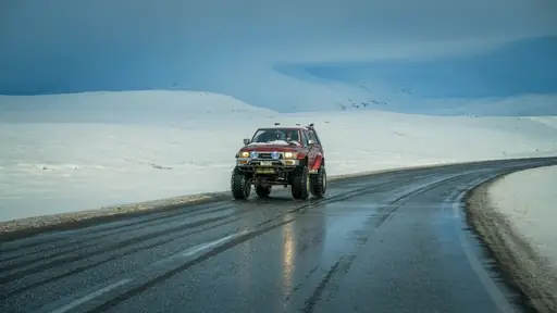
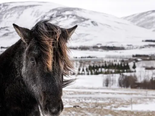
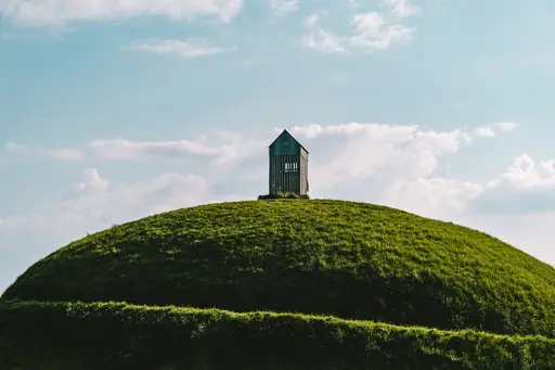
Mount Esja rises across the bay from Reykjavik and can be climbed in a few hours. A trail begins at a parking area near Mógilsá. Hikers climb to the rocky top at Steinn for city views. Locals hike it all year and often bring their dogs.
National Park in Spain
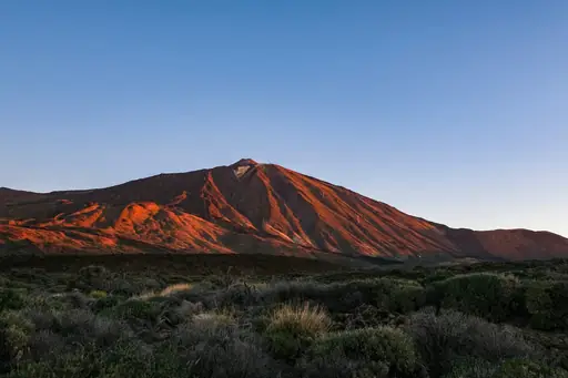
Teide National Park
Mars-Like Landscapes and Epic Views
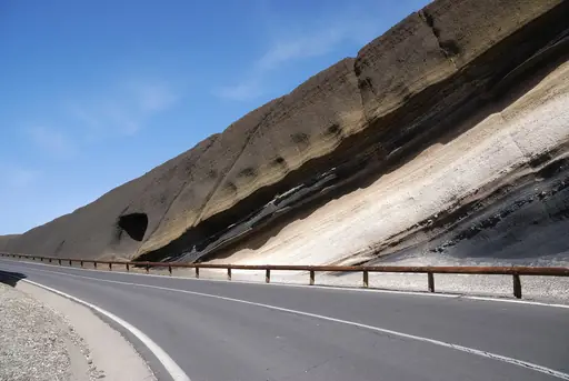
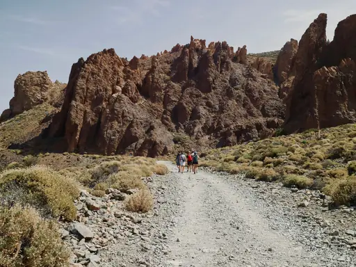
Mount Teide reaches 3,715 metres and is the highest peak in Spain. A cable car lifts hikers close to the summit. Trails cross wide fields of black lava and red rock. A free permit is needed to climb the last stretch to the crater rim.
Country in United Kingdom
England
Historic Nation of Timeless Charm
Scafell Pike stands 978 metres high in the Lake District and is the tallest mountain in England. Several trails climb from Wasdale or Borrowdale. Hikers walk past rocky crags and small mountain tarns on the way. On a very clear day you can spot Wales and Scotland.
City in Norway
Stavanger
Fjords, Street Art & Nordic Charm
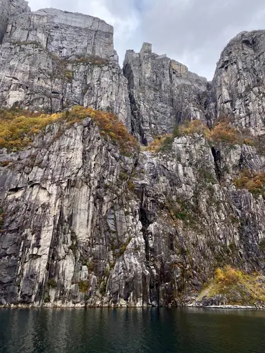
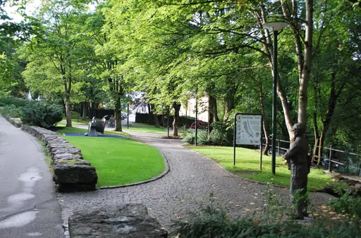
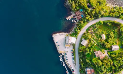
Preikestolen is a flat cliff about 604 metres above Lysefjord. The trail takes about four hours return and gains little height from the car park. Hikers cross rocky steps and small lakes along the well marked path. The plateau ends in a sheer drop with no railing.
Country
Faroe Islands
Dramatic cliffs meet misty landscapes
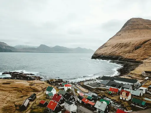
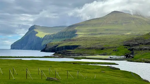
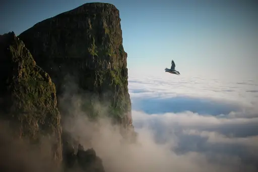
Sørvágsvatn lake seems to float above the Atlantic on the island of Vágar. A walk of about an hour leads to the cliff edge. Hikers look down on the ocean and a waterfall plunging into the sea. Mist often drifts across the path and softens the view.
Peak in Sweden
Kebnekaise nordtoppen
Sweden’s Highest Ice-Free Summit
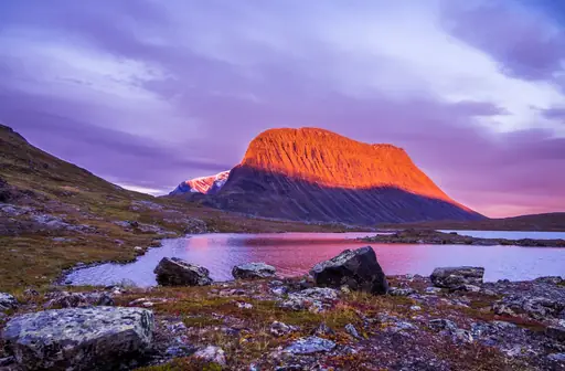
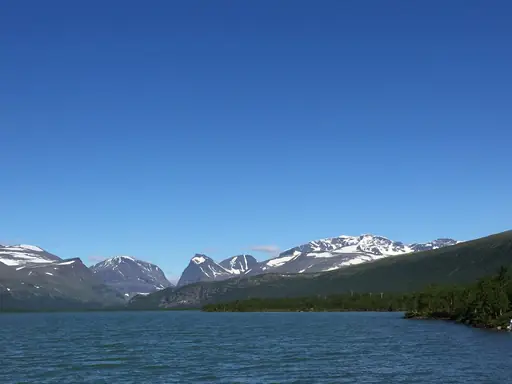
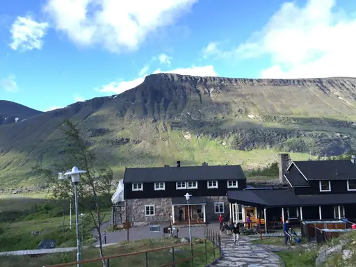
Kebnekaise is Sweden's highest mountain at about 2,100 metres. The Western route climbs from the mountain station in one long day of steady climbing. You can stay in the Kebnekaise Fjällstation and hike under the midnight sun in summer. Glaciers and arctic valleys surround the trail.
Fjord in Norway
Lysefjord
Norway’s Dramatic Fjord Escape
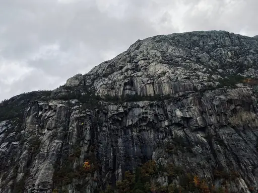
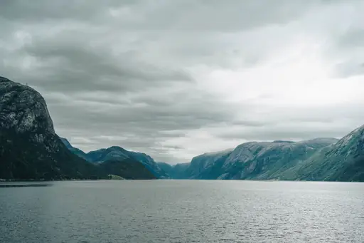
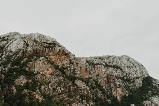
Kjeragbolten is a boulder wedged in a crevice about 1,000 metres above Lysefjord. The hike takes around six hours return with chains on steep rock slabs near the top. Brave visitors step onto the rock for a photo. The deep blue fjord glimmers far below the ledge.
Lake in Bern
Oeschinen Lake
Turquoise Jewel of the Bernese Alps
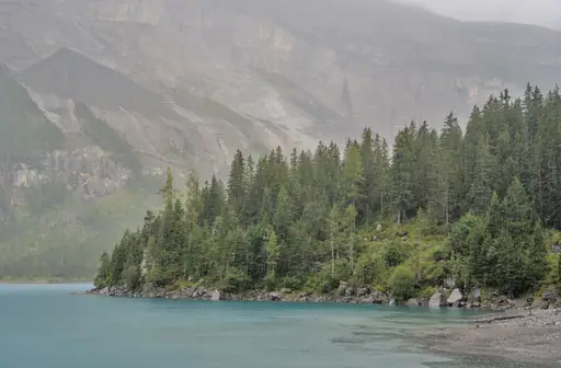
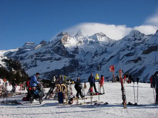
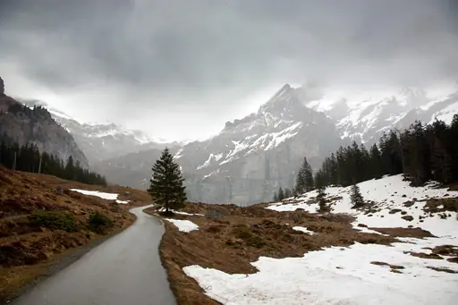
A steep trail climbs through pine forest to the shore of Oeschinen Lake above Kandersteg. The lake glows turquoise beneath the snowy Blüemlisalp peaks. Hikers can rent a rowboat or follow a cliff path around the water. Summer meadows around the shore fill with wildflowers and cowbells.
Peak in Germany
Zugspitze
Alpine views from the country's highest summit
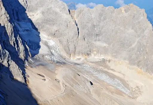
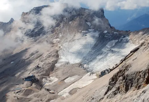
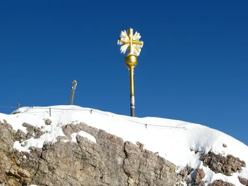
Germany's highest peak rises 2,962 metres above the Bavarian Alps. Hikers can climb it through the Reintal valley in about two days with a night in a hut. You can see four countries from the summit on a clear day. A cable car offers an easy ride back down.
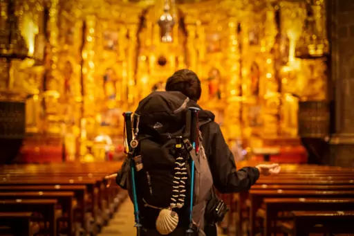
Pilgrims Way in Spain
Camino de Santiago
Ancient pilgrimage route through Spain’s heart
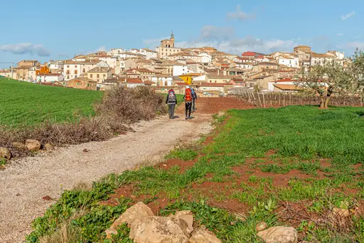
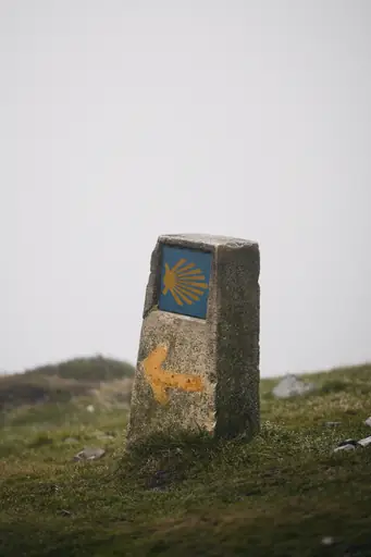
The Camino Francés runs about 780 kilometres from Saint Jean Pied de Port to Santiago de Compostela. Pilgrims walk through Pyrenean passes, vineyards and medieval towns. Hostels offer simple beds and pilgrim meals along the way. Many walkers finish at the cathedral square at journey's end.
Other lists you may like
Discover
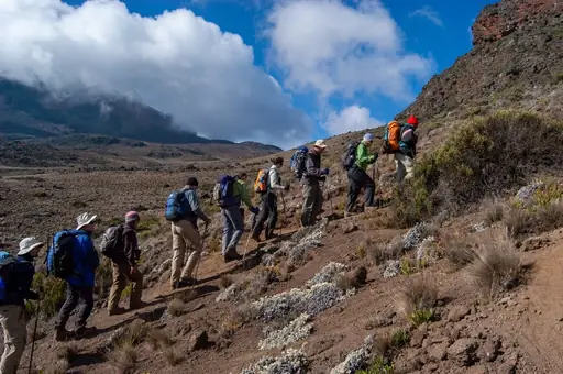
Best hiking destinations in Africa
Africa's hiking ranges from the glaciated summit zone of equatorial high peaks and the vast plateau trails of the south to rainforest routes in the centre and dramatic coastal…
Read more
Discover
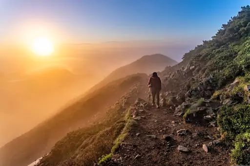
Best hiking destinations in Asia
Asia offers some of the most varied and rewarding hiking terrain on earth, ranging from high altitude Himalayan trails and volcanic crater routes to ancient pilgrimage paths,…
Read more
Discover
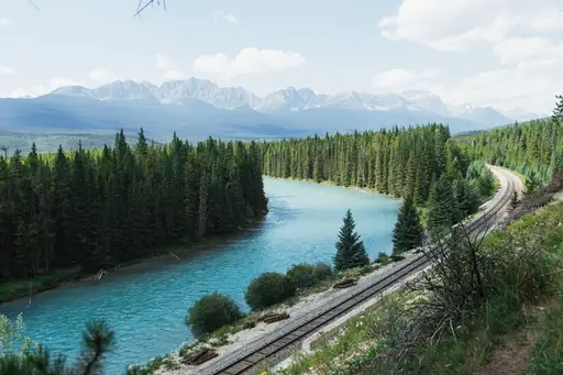
Best hiking destinations in North America
North America's hiking offer is defined by scale and wilderness, with trails passing through landscapes that dwarf anything found in more densely populated regions. From arctic…
Read more
Discover
Best hiking destinations in Oceania
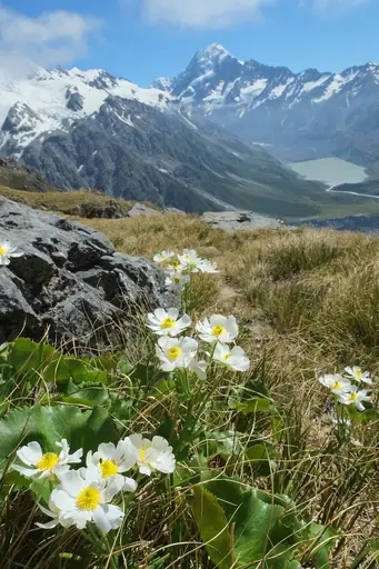
Oceania's hiking spans an enormous geographic range, from the ancient eroded ranges of Australia's interior and the dense rainforests of its tropical north to the dramatic alpine…
Read more
Discover
Best hiking destinations in South America
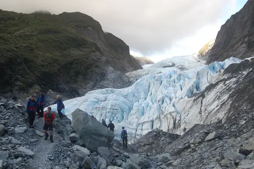
South America's hiking is shaped by extreme contrasts in altitude, climate and terrain. The Andes form the spine of the continent, offering everything from high-altitude desert…
Read more

Discover
Top hiking destinations and famous trails
Hiking at its best is one of the most direct ways to engage with a landscape. The pace forces a relationship with terrain, weather and distance that faster forms of travel rarely…
Read more
What other users say about travelfilters
“travelfilters made it easy for me to find ski areas and compare what else they offer, so that I could find the best place for my personal travel style.”

Chris
Snowboarding & Onsen trip to Japan
“I love how transparent the data feels. There is no pushy upsell, just honest information and settings I can tune to my own travel style.”

Maria
After booking her 2027 winter escape
“The level of detail for each destination and how well those are displayed, make planning feel confident instead of overwhelming.”

Mina
Planned a week in New York City
“We used travelfilters for our planning from start to end. The trip turned out even better than expected, thanks to all their tools and customisation options.”

Allan & Etienne
Trip to Japan to see autumn foliage
“Thanks to travelfilters, I found some hidden gems to see. Being able to filter for exactly your interests is a game changer for my travel planning.”

Michael
Tour through the old cities of Northern Italy
“The customizable filters helped me find a quiet beach town with good wifi and low season crowds in under five minutes.”

Diego
Weekend Escape to Llanes, Spain
“The airport connection map saved me hours by showing good flight options from my home airport to lesser-known cities.”

Nguyen
Planning a 2027 trip to France
“The website is clean, fast and focused on the search itself, which makes travelfilters feel more like a professional tool than an ad-heavy booking site.”

Hassan
Christmas Market trip, Germany
