
Best natural wonder destinations in North America
Best natural wonder destinations in North America
Famous canyons, geysers, and protected natural features in North America
North America's natural wonders operate at a scale that can be genuinely difficult to comprehend until you are standing in front of them. The continent's geological history has produced landscapes of extraordinary drama, from vast canyon systems and ancient volcanic formations to glacial wilderness and geothermal landscapes found nowhere else on earth. The sheer variety across such a large landmass means that no two experiences are alike.
The continent also has some of the world's great living natural wonders. Ancient forest ecosystems, massive cave networks, extraordinary coastal formations and tidal phenomena of remarkable scale all exist alongside the geological spectacles the region is best known for. Many of these sites are protected within a well-developed national park system that makes access more straightforward than in many other parts of the world.
Crowds and seasonality are the main practical considerations. The most visited natural wonders in North America can be heavily congested at peak times and the experience suffers accordingly. Going outside peak season, arriving early in the day and exploring beyond the main viewpoints and trails tends to deliver a substantially different and better experience.
Lists by region
Worldwide (348)
Africa (33)
Asia (79)
Europe (99)
North America (67)
Oceania (36)
South America (27)
National Park in Costa Rica
Corcovado National Park
Costa Rica’s Wildest Rainforest Frontier
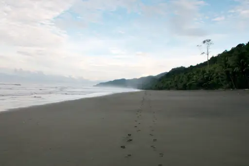
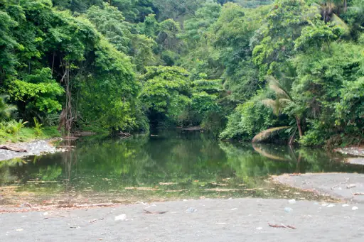
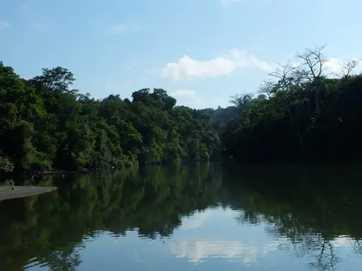
Dense rainforest covers Corcovado, holding one of the highest concentrations of biodiversity in Central America. Tapirs and jaguars move through the park's remote interior, rarely seen by visitors. Scarlet macaws fly in pairs above the canopy near the coast. Rivers wind through the jungle towards beaches where crocodiles bask in the sun.
Town in Canada
Jasper
Raw Wilderness and Starry Skies
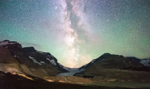
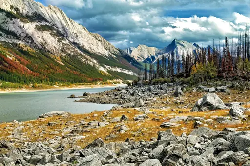
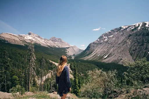
Jasper sits within Canada's largest Rocky Mountain national park, surrounded by peaks and glaciers. Maligne Canyon cuts a narrow limestone gorge just outside town. Dark skies over Jasper make it one of the world's largest accessible dark sky preserves. Elk regularly wander through the townsite itself.
Country
Dominica
Nature island with pristine rainforests
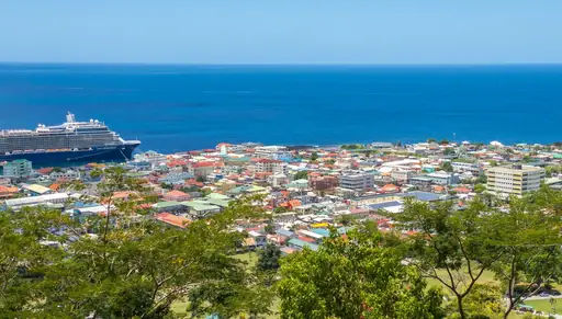
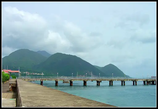
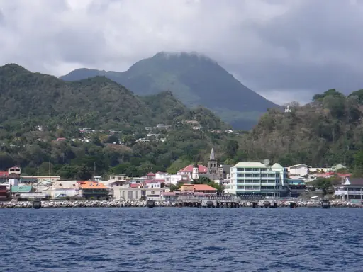
Boiling Lake steams inside Dominica's volcanic interior, one of the largest hot lakes in the world. Trafalgar Falls drops in twin cascades through dense rainforest nearby. Sulphur vents and hot springs dot the Valley of Desolation on the hike towards the lake. Rivers cut gorges through the island's mountainous, forested terrain.

National Park in United States
Denali National Park
Wild Alaska’s peaks and wildlife
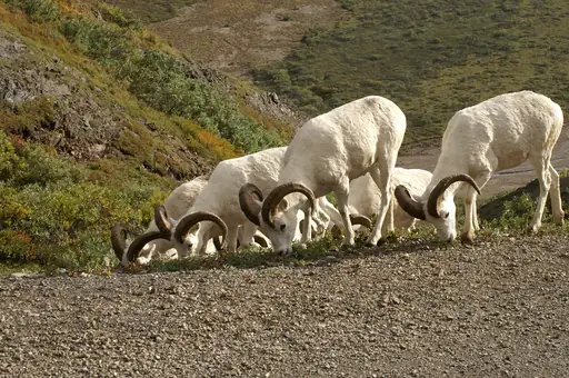
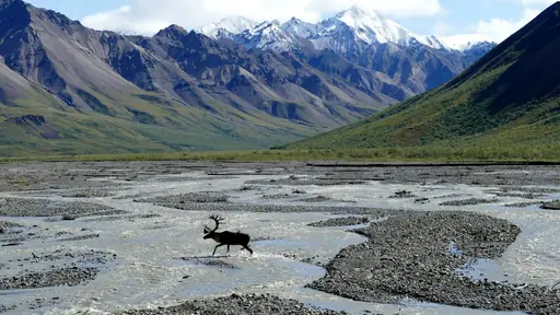
Denali rises to 6,190 metres, the tallest peak in North America. Grizzly bears, wolves and caribou roam freely across the park's vast wilderness. A single road winds through the park, mostly closed to private vehicles. Glaciers carve valleys along the mountain's flanks, visible from park bus tours.
National Park in United States
Grand Teton National Park
Stunning Peaks and Wildlife Wonders
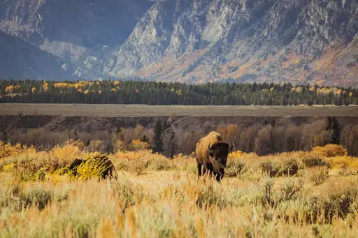
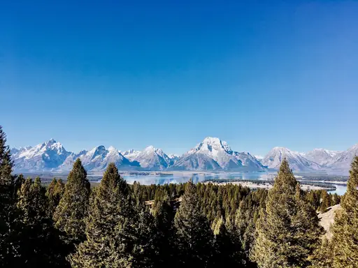
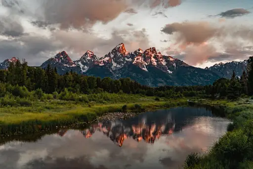
Jagged peaks rise abruptly from the valley floor at Grand Teton, with no foothills softening the climb. Snake River winds below the range, framed in classic views from Oxbow Bend. Glacial lakes sit at the base of the mountains, reflecting the peaks on calm mornings. Moose and elk graze the sagebrush flats beneath the range.
Country
Aruba
White Sands and Sunny Vibes
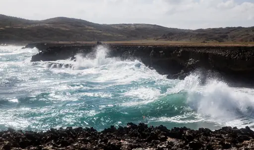
Wind-bent divi-divi trees lean permanently sideways across Aruba's arid landscape. Natural stone bridges once spanned the island's northern coast, formed by pounding surf. Cacti and rocky desert cover much of the island's interior, unusual for the Caribbean. Baby Beach's calm, shallow lagoon sits protected on the island's southern tip.
Nature Reserve in Canada
Mont-Tremblant
Year-Round Adventure in Québec
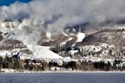
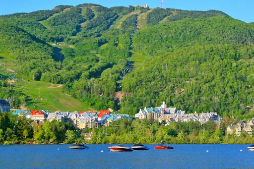
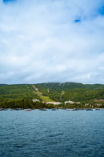
Mont Tremblant rises above Quebec's Laurentian forest, one of the oldest mountains in North America. Autumn colour spreads across the surrounding hills in shades of red and gold each October. A gondola climbs to the summit, opening onto views across dozens of lakes. Ski trails wind down the mountain through birch and maple forest.
National Park in United States
Arches National Park
A Desert Wonderland of Stone Arches
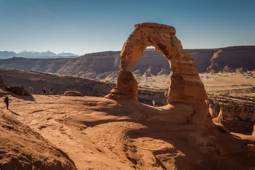
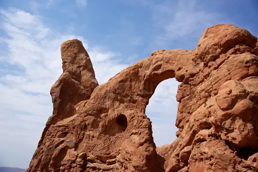
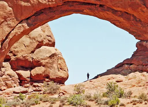
More than 2,000 natural stone arches stand across this Utah desert, the highest concentration on Earth. Delicate Arch rises alone against the La Sal Mountains in the distance. Sandstone fins and balanced rocks formed as softer rock eroded away over millions of years. Sunset turns the red rock formations deep orange across the park.
National Park in United States
Bryce Canyon National Park
Hoodoo Wonderland and Starry Nights
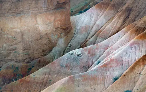
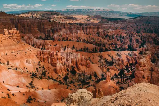
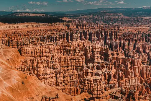
Thousands of thin rock spires called hoodoos crowd Bryce Canyon's amphitheatre walls. Frost and rain carved the pink and orange limestone into their narrow shapes over centuries. Sunrise Point catches early light glowing across the hoodoos each morning. Trails wind directly among the spires down into the canyon floor.

State/Prefecture in United States
Maine
Lobsters, Lighthouses and Lush Landscapes
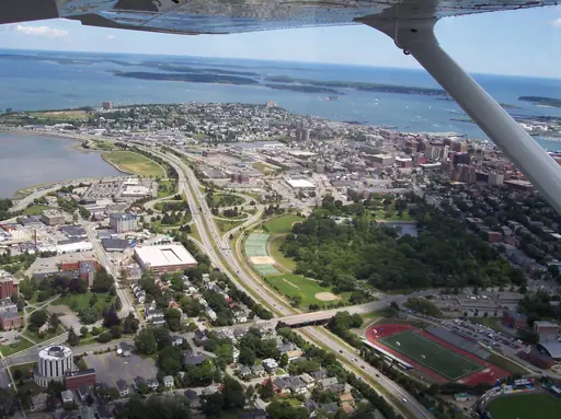
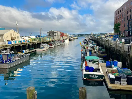
Rocky cliffs and pine forest line much of Maine's rugged Atlantic coastline. Acadia's granite peaks rise directly from the sea along the state's midcoast. Moose wander through vast tracts of forest across Maine's northern interior. Tides here swing dramatically, exposing wide mudflats along sheltered coves.
National Park in Canada
Banff National Park
Majestic Peaks and Turquoise Lakes
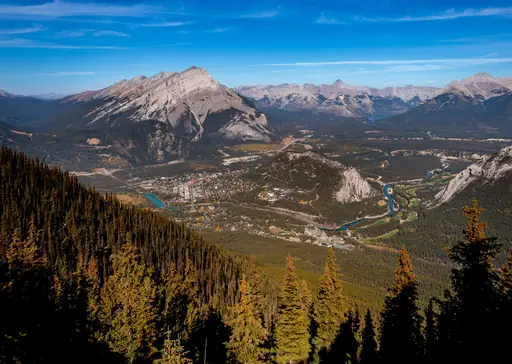
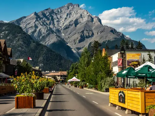
Turquoise glacial lakes fill Banff's valleys, coloured by fine rock particles suspended in the water. Snow-capped Rocky Mountain peaks rise sharply above forested slopes throughout the park. Hot springs near the townsite have drawn bathers since the park's founding in 1885. Elk and grizzly bears roam the surrounding wilderness through much of the year.
National Park in United States
Mesa Verde National Park
Ancient Cliff Dwellings and Rich History
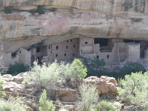
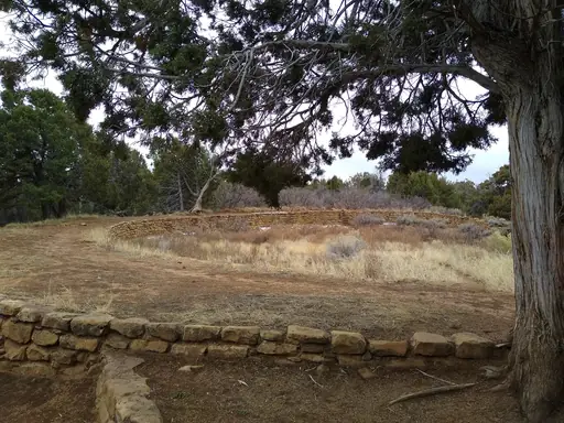
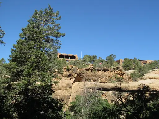
Cliff dwellings built into sandstone alcoves line canyon walls across Mesa Verde. Ancestral Puebloans constructed these multi-storey homes roughly 800 years ago. Cliff Palace, the largest dwelling, held more than 150 rooms carved into the rock. Trails and ladders let visitors climb directly into several preserved sites.
National Park in United States
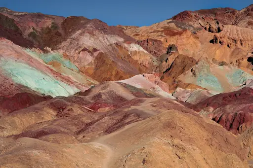
Death Valley National Park
Otherworldly Extremes and Silent Beauty
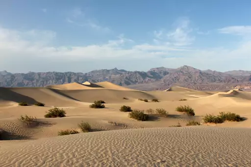
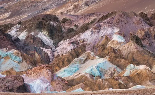
Badwater Basin sits 86 metres below sea level, the lowest point in North America. Salt flats stretch across the basin floor, cracked into polygon patterns by evaporation. Zabriskie Point overlooks eroded badlands striped in gold and rust. Summer temperatures here regularly rank among the hottest recorded anywhere on Earth.
National Park in Costa Rica
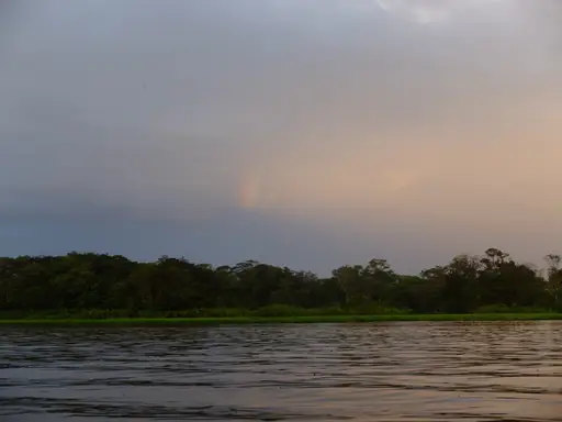
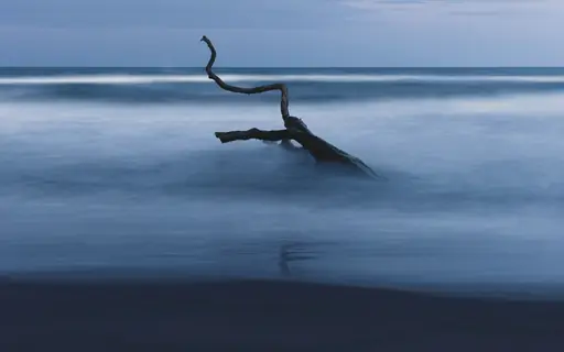
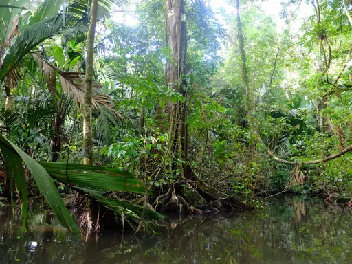
Tortuguero National Park
Wildlife and Waterways Adventure
Green sea turtles nest on Tortuguero's beaches in some of the largest numbers in the Caribbean. Canals wind through rainforest, explored mostly by small boats rather than roads. Manatees and caimans move through the park's quiet waterways. Howler monkeys call through the canopy along the riverbanks each morning.
National Park in United States
Sequoia and Kings Canyon National Parks
Home of the Giant Sequoias
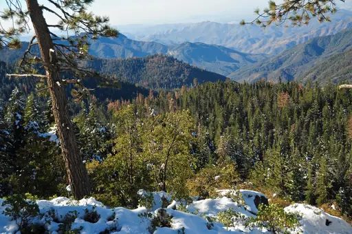
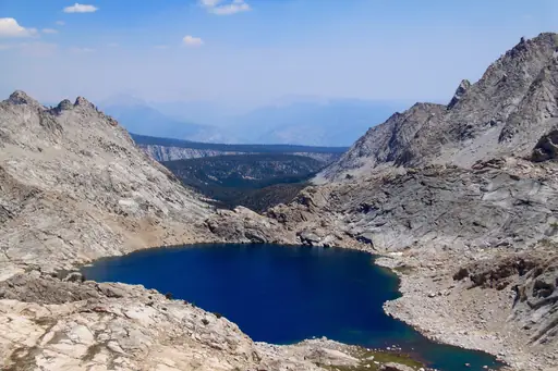
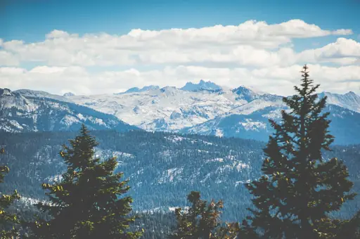
General Sherman, the world's largest tree by volume, stands within Sequoia National Park. Giant sequoias here can live for more than 3,000 years. Kings Canyon cuts deeper than the Grand Canyon in places, carved by glaciers. Granite peaks rise above both parks' forested, high-elevation wilderness.
National Park in United States
Acadia National Park
Rugged Shores, Sunrise Peaks, Wild Beauty
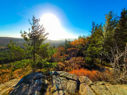
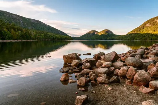
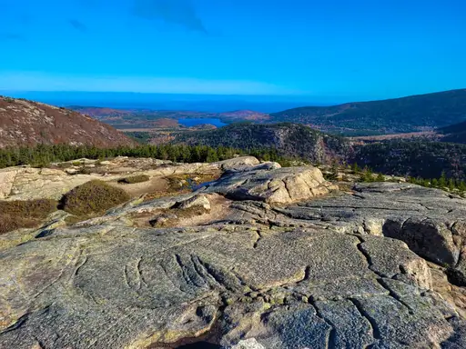
Cadillac Mountain rises along Acadia's coast, among the earliest spots to see sunrise in the US. Granite cliffs drop into the Atlantic along much of the park's rugged shoreline. Thunder Hole channels waves into a narrow inlet, producing a loud crash at high tide. Maple and birch forest turns bright red and orange each autumn.
National Park in United States
Glacier Bay National Park
Majestic glaciers and pristine wilderness
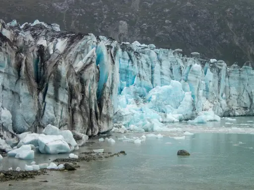
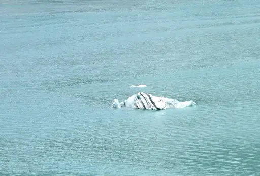
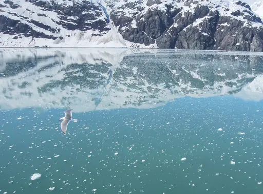
Tidewater glaciers calve directly into Glacier Bay, sending chunks of ice crashing into the sea. Humpback whales feed in the bay's nutrient-rich waters each summer. Mountains rise sharply from the shoreline, capped with ice year-round. The bay's glaciers have retreated dramatically over the past two centuries, exposing new land.
National Park in United States
Olympic National Park
Untamed Wilderness, All in One
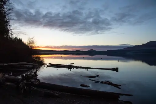
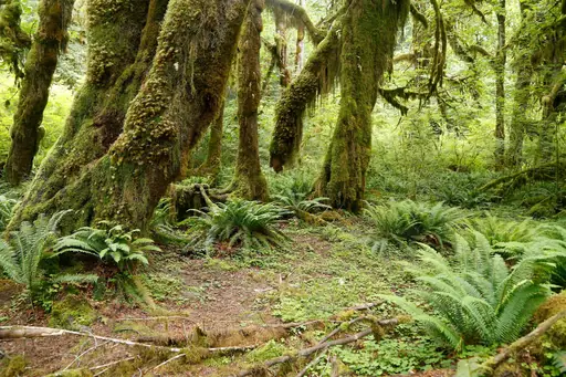
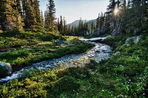
Rainforest, glacier-capped peaks and rugged coastline all meet within Olympic National Park. Hoh Rainforest receives among the highest rainfall totals in the continental US. Moss drapes thickly over trees in the park's temperate rainforest sections. Tide pools along Rialto Beach reveal starfish and anemones at low tide.
Region in Canada
Bay of Fundy
Home to world's highest tides
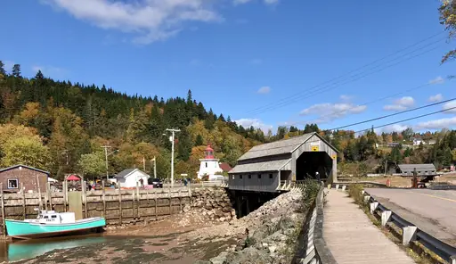
The Bay of Fundy sees the highest tides on Earth, rising more than fifteen meters at points. Hopewell Rocks stand exposed at low tide, then surrounded by water hours later. Fishing boats rest on the muddy seafloor between tides, then float again once water returns. Whales feed in currents stirred by the tidal swings.
Island in Canada
Vancouver Island
Untamed Beauty and Coastal Charm
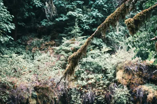
Ancient rainforest covers much of Vancouver Island, including trees over a thousand years old. Cathedral Grove protects some of the island's largest remaining old-growth Douglas firs. Orcas pass through the Salish Sea along the island's eastern shore each summer. Mountains rise across the island's interior, snow-capped through much of the year.
State/Prefecture in United States
Vermont
Green Mountains, Maple Syrup, Pure Charm
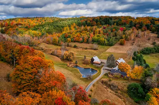
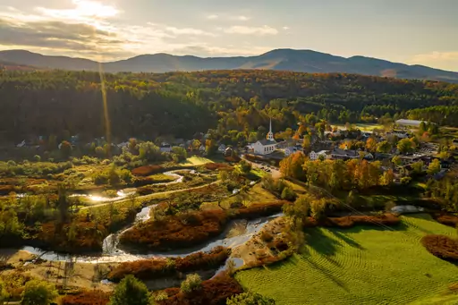
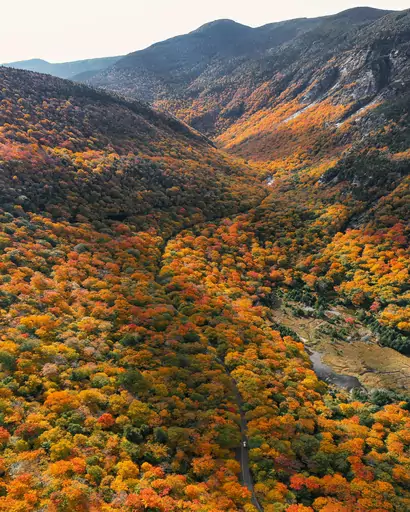
The Green Mountains run the length of Vermont, turning brilliant red and orange each October. Maple forests across the state supply much of the country's maple syrup. Waterfalls drop through wooded gorges scattered across the state's rural landscape. Covered bridges cross rivers in small towns throughout the countryside.

Island in United States
Maui
Island of Sun, Surf and Serenity
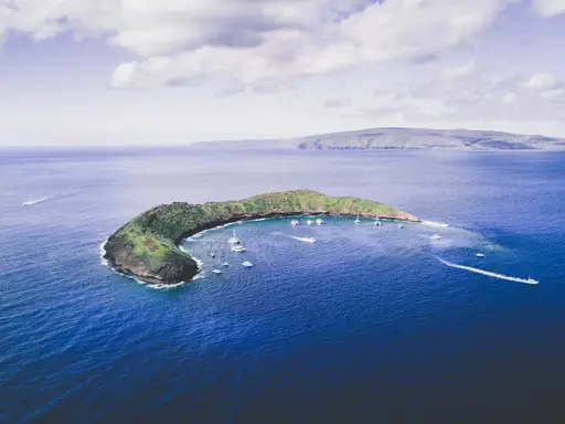
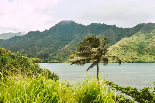
The Road to Hana winds past waterfalls and cliffs along Maui's northeastern coast. Haleakala's volcanic crater rises above the clouds, drawing hikers before dawn for sunrise. Black sand beaches near Hana formed from crushed volcanic rock. Humpback whales pass close to Maui's shores each winter migration season.
City in United States
Sedona
Red Rocks, Vortexes and Starry Skies
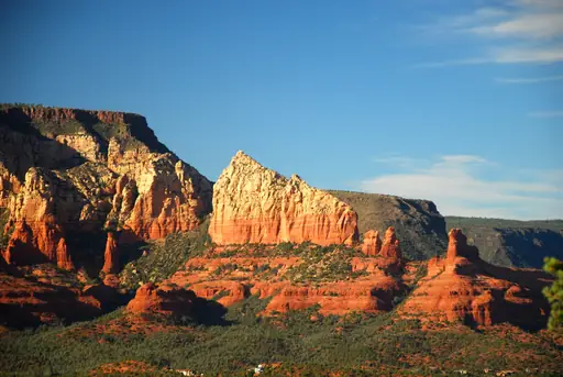
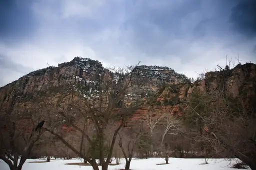
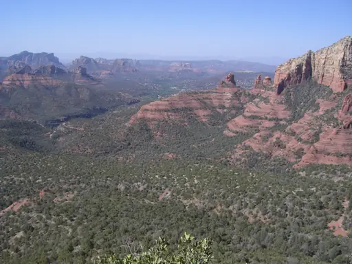
Red sandstone buttes rise across Sedona, glowing deeper red at sunrise and sunset. Cathedral Rock's spires frame views across Oak Creek's cottonwood-lined banks. Slide Rock's natural water chute carries swimmers over smooth red rock. Trails wind through canyons carved into the surrounding red rock formations.
Town in Costa Rica
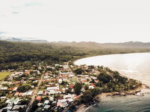
Puerto Viejo de Talamanca
Caribbean Vibes and Pristine Beaches
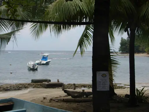
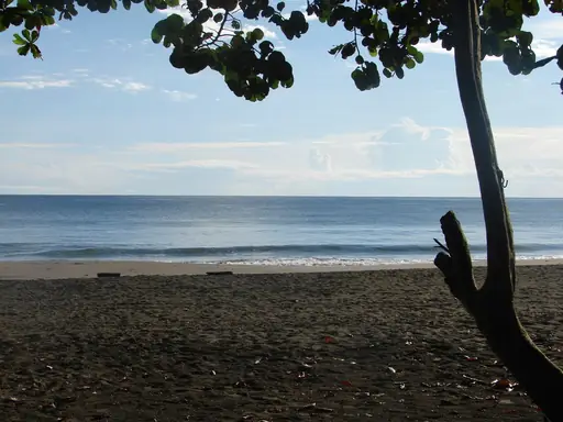
Coral reefs line the coast near Puerto Viejo, drawing snorkellers into calm Caribbean water. Sloths and howler monkeys move through rainforest just steps from the beach. Cahuita National Park sits nearby, protecting reef and jungle along a shared coastline. Rivers cut through the rainforest towards black sand stretches of shore.

National Park in United States
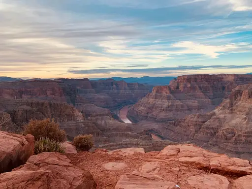
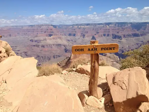
Grand Canyon National Park
Epic Vistas, Timeless Adventure
The Colorado River carved the Grand Canyon over roughly six million years, exposing ancient rock layers. Its walls stretch up to 29 kilometres wide and 1,800 metres deep. Mule trains carry visitors down steep trails towards the canyon floor. Condors, among the largest flying birds, soar along the rim's thermal currents.
National Park in United States
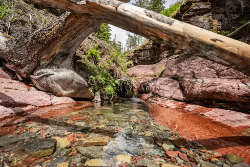
Waterton Glacier International Peace Park
Where two nations preserve wilderness
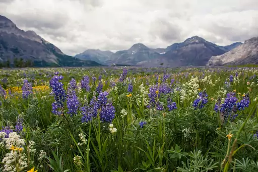
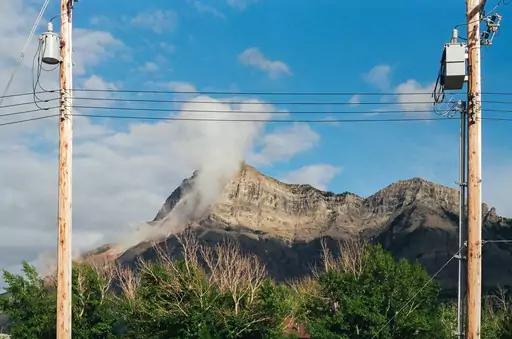
Waterton and Glacier National Parks join across the US-Canada border, forming a single connected wilderness. Glacially carved valleys and turquoise lakes span both sides of the boundary. Going-to-the-Sun Road climbs through Glacier's side past alpine meadows and waterfalls. Grizzly bears and mountain goats roam freely across the shared terrain.
National Park in United States
Yosemite National Park
Nature's Grand Cathedral
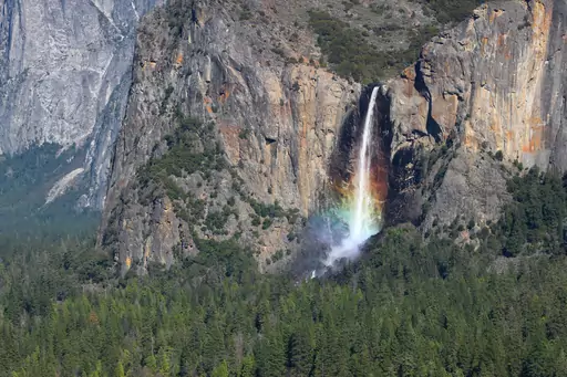
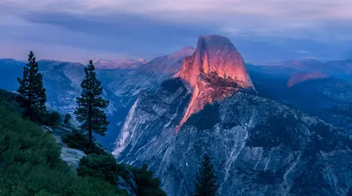
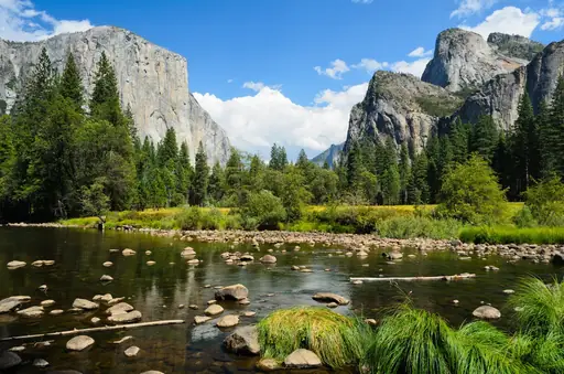
Granite cliffs rise sharply above Yosemite Valley, carved by glaciers thousands of years ago. El Capitan's sheer face draws climbers from around the world. Yosemite Falls drops in tiers, among the tallest waterfalls in North America. Giant sequoias grow in groves scattered through the park's higher elevations.
National Park in United States
Rocky Mountain National Park
Majestic Peaks and Untamed Wilderness
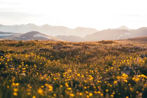
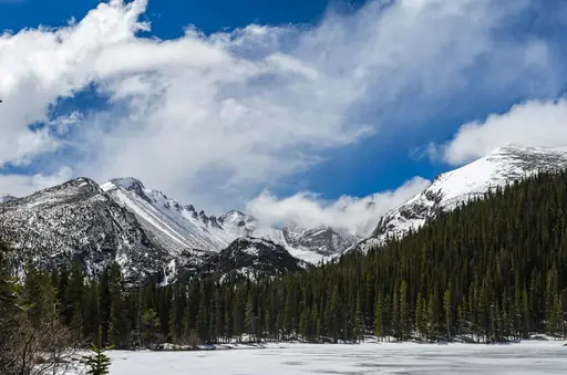
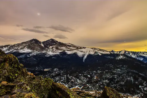
Trail Ridge Road climbs above 3,700 metres, the highest paved through-road in the US. Alpine tundra spreads across the park's exposed high country above the treeline. Elk gather in meadows near Estes Park each autumn during their annual rut. Glacial lakes sit beneath jagged granite peaks throughout the park's interior.
National Park in Costa Rica
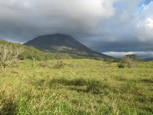
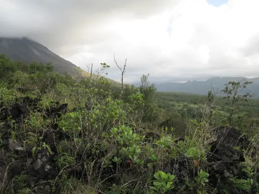
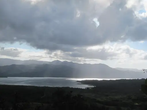
Arenal Volcano National Park
Lava Trails, Rainforest and Epic Views
Arenal's near-perfect cone rises above Costa Rica's northern lowlands, dormant since 2010. Lava flows from past eruptions still cover parts of the volcano's lower slopes. Hot springs heated by the volcano warm pools scattered around its base. Rainforest surrounds the peak, home to toucans and howler monkeys.
Town in United States
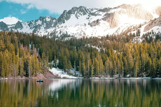
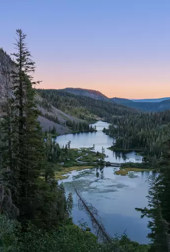
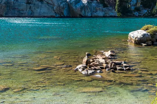
Mammoth Lakes
Alpine Paradise in Eastern Sierra
Volcanic peaks and glacial lakes surround Mammoth Lakes in California's eastern Sierra Nevada. Devils Postpile's basalt columns rose from a lava flow thousands of years ago. Hot springs bubble up near Hot Creek, fed by geothermal activity below. Waterfalls drop through granite canyons across the surrounding wilderness.
National Park in United States
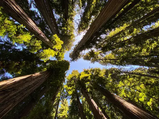
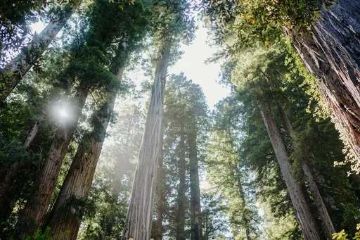
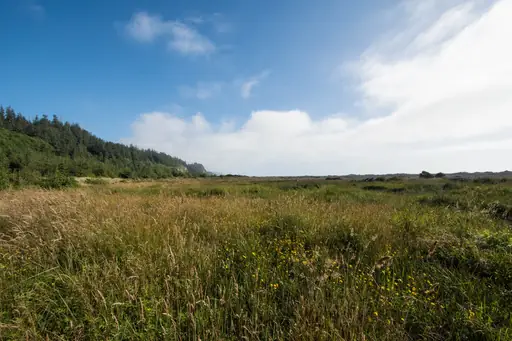
Redwood National Park
Home of the World’s Tallest Trees
Coast redwoods here grow taller than any other tree species, some exceeding 100 metres. Fog rolling in from the Pacific keeps the forest floor damp through much of the year. Fern-covered canyons wind beneath the canopy along several marked trails. Elk graze in open meadows scattered through the park's coastal prairie.
Region in United States
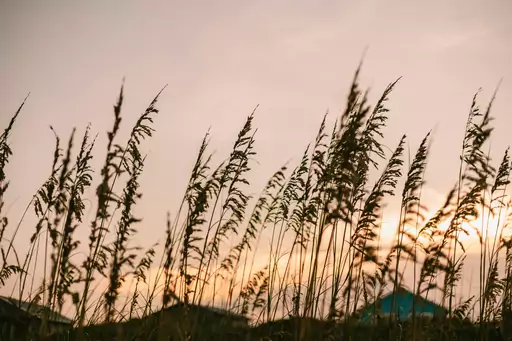
Outer Banks
Wild horses and pristine shores
Barrier islands stretch along the Outer Banks, shaped constantly by wind and shifting sand. Cape Hatteras Lighthouse stands among the tallest brick lighthouses in the country. Wild horses roam beaches near Corolla, descended from Spanish colonial stock. Jockey's Ridge holds the tallest living sand dune on the East Coast.

City in Canada
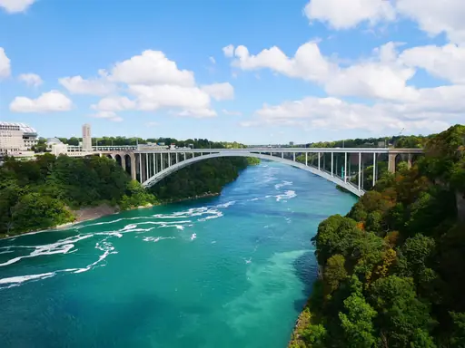
Niagara Falls (Ontario)
Nature’s Power, Lights and Mist
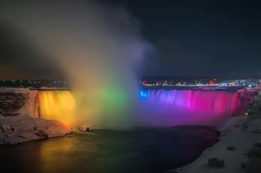
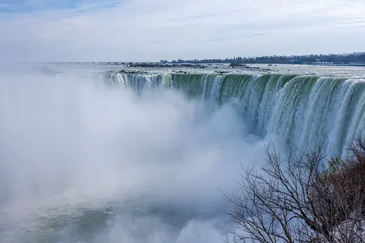
Horseshoe Falls curves along the Ontario side, carrying most of the Niagara River's flow. Illuminated lights colour the falls after dark, visible from the Canadian promenade. Fireworks light up the gorge above the water during summer evenings. Vineyards cover the nearby escarpment, benefiting from the falls' moderating climate.
National Park in United States
Valley of Fire State Park
Fiery Red Rocks and Ancient Art
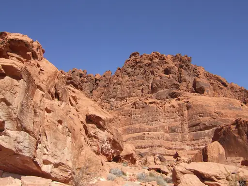
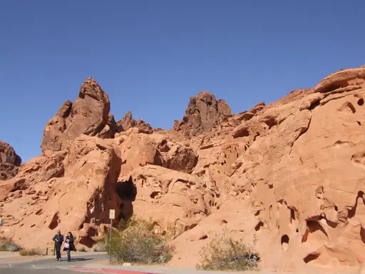
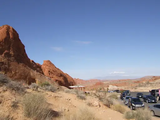
Red sandstone formations glow bright orange across Valley of Fire, Nevada's oldest state park. Ancient sand dunes hardened into rock here roughly 150 million years ago. Petroglyphs carved by early inhabitants mark several rock faces across the park. Fire Wave's striped rock formation draws hikers along a short desert trail.
Town in Canada
Tofino
Wild Pacific, Rainforest, Endless Waves
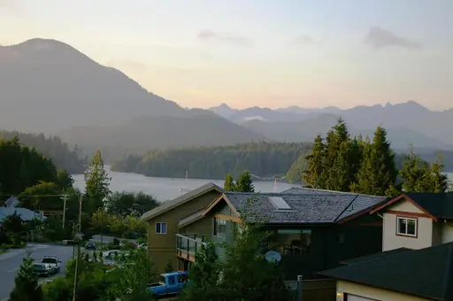
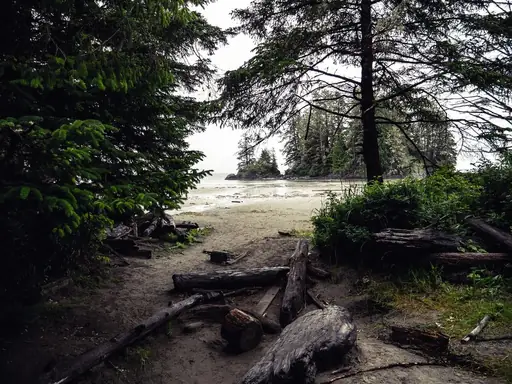
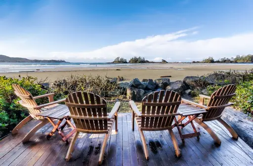
Old-growth rainforest meets the Pacific along Tofino's rugged Vancouver Island coastline. Surfers paddle out year-round into consistent swells rolling in off the open ocean. Grey whales pass close to shore during their spring migration. Storm watching draws visitors each winter to watch waves crash against the rocks.
State/Prefecture in United States
New Hampshire
Mountains, lakes and coastal charm
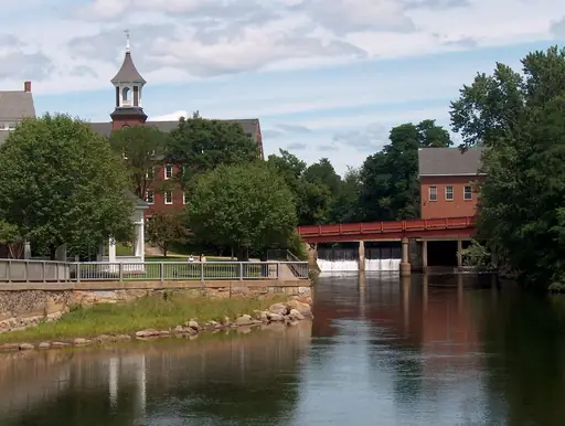
The White Mountains rise across northern New Hampshire, capped by Mount Washington's often extreme weather. Franconia Notch cuts between granite cliffs, framed by a narrow mountain pass. Autumn foliage draws visitors along scenic drives through the state's forested valleys. Waterfalls drop through gorges scattered across the surrounding wilderness.
Outer Territory in United Kingdom
British Virgin Islands
Pristine sailing paradise with beaches
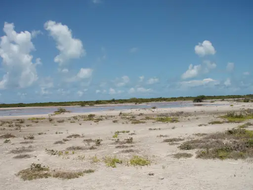
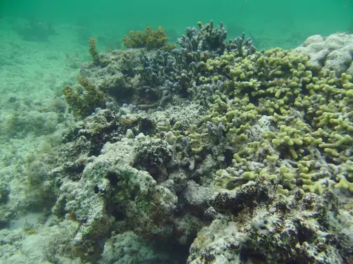
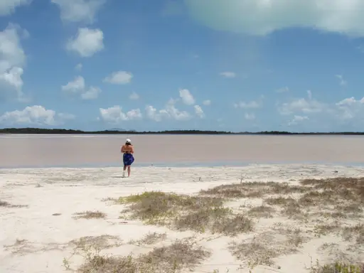
Granite boulders the size of houses scatter across the Baths on Virgin Gorda. Sea pools form between the rocks, sheltered enough for calm swimming. Tunnels and grottoes wind between the boulders down to the shoreline. Sailboats anchor in dozens of quiet bays scattered across the island chain.
National Park in Costa Rica
Manuel Antonio National Park
Jungle, Wildlife and Stunning Beaches
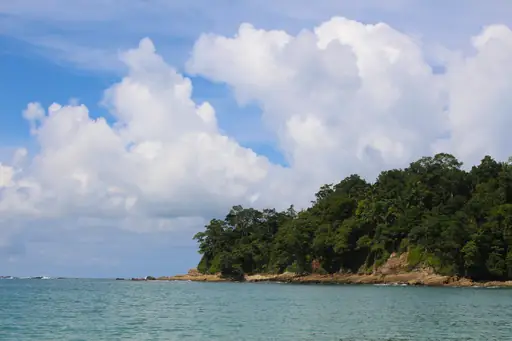
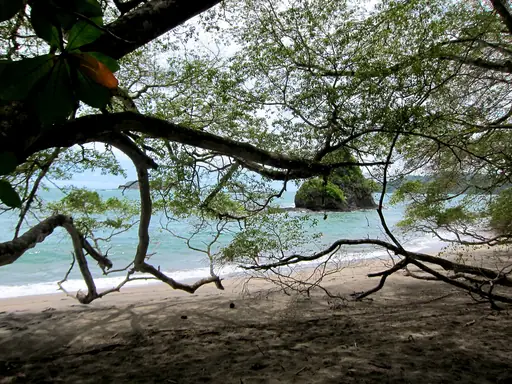
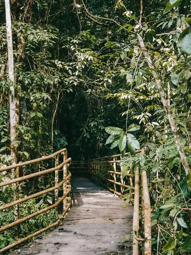
Rainforest meets white sand beaches at Manuel Antonio, one of Costa Rica's smallest parks. Sloths move slowly through the canopy above trails near the shore. Capuchin monkeys and coatis often appear close to the park's walking paths. Coral reefs sit just offshore, visible while swimming near several of the coves.
Nature Reserve in Costa Rica
Monteverde and Santa Elena Cloud Forest Reserves
Mist, Wildlife and Cloudy Magic
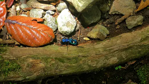
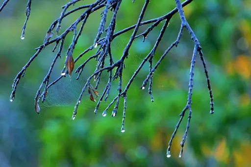
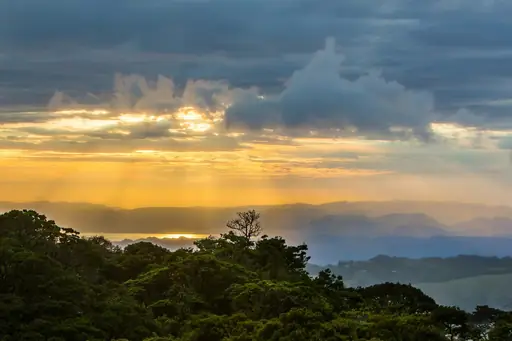
Mist settles permanently over Monteverde's cloud forest, feeding orchids and mosses across the canopy. Suspension bridges let visitors walk through the treetops above the forest floor. Resplendent quetzals, prized for their colourful plumage, nest in the reserve's older trees. Hundreds of bird species live within this small mountain forest.

Region in Panama
Bocas del Toro
Tropical Bliss in Panama
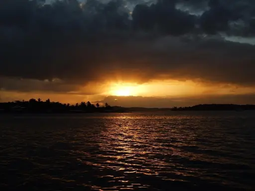
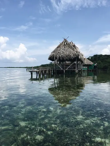
Coral reefs surround the scattered islands of Bocas del Toro, ringed by mangrove channels. Red frogs, found only in this region, hop through the archipelago's rainforest. Starfish Beach gets its name from orange starfish visible in the shallow water. Surfers ride reef breaks along several of the outer islands.
National Park in United States
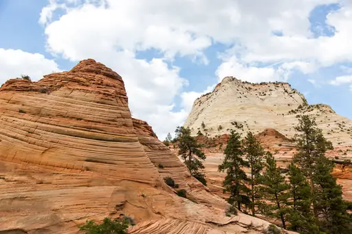
Zion National Park
Red rocks, epic hikes and nature's beauty
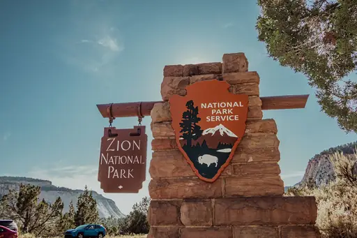
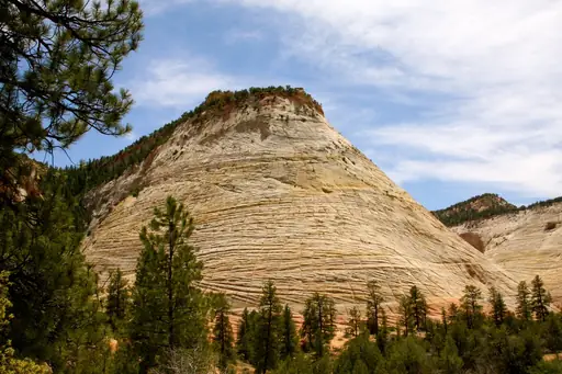
Sandstone cliffs rise more than 600 metres above the Virgin River at Zion. Narrows canyon walkers wade directly through the river between towering rock walls. Angels Landing's narrow ridge trail climbs steeply above the valley floor. Erosion carved the canyon over millions of years into its current shape.

State/Prefecture in United States
Montana
Wild Beauty & Vast Big Skies
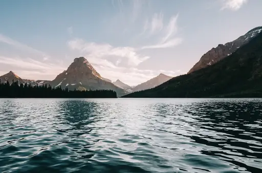
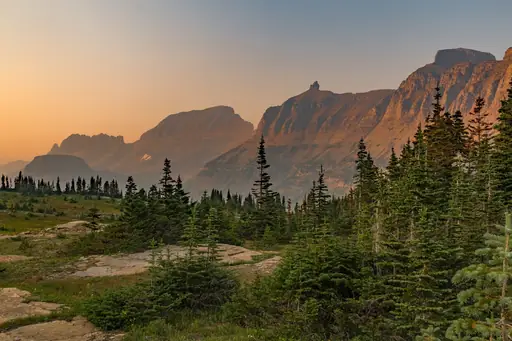
Glacier National Park's peaks straddle Montana's border with Canada, carved by ancient ice sheets. Going-to-the-Sun Road climbs through the park past alpine lakes and waterfalls. Yellowstone's geysers and hot springs spill into Montana's southwestern corner. Grizzly bears and wolves roam the state's vast mountain wilderness.
National Park in United States
Canyonlands National Park
Epic Canyons and Untamed Wilderness
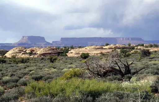
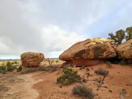
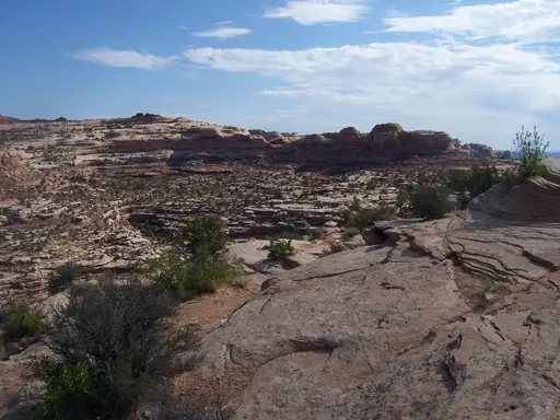
Rivers carved Canyonlands into deep, layered mesas over millions of years. Mesa Arch frames a canyon view through its narrow sandstone opening. The Green and Colorado rivers meet within the park, dividing it into distinct districts. Needles district, in the park's south, holds spires striped in red and white rock.
Region in Dominican Republic
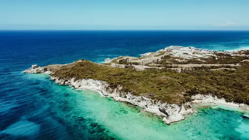
Punta Cana
Tropical Bliss and Crystal Waters
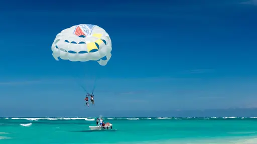
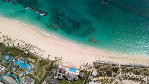
Coconut palms line miles of white sand beach along Punta Cana's eastern coast. Coral reefs offshore shelter calm, turquoise water that stays ideal for swimming. Indigenous Taino caves near the coast hold ancient rock carvings and drawings. Rivers wind through mangrove forest just inland from the shoreline.
National Park in United States
Mount Rainier National Park
A Majestic Volcano and Wild Beauty
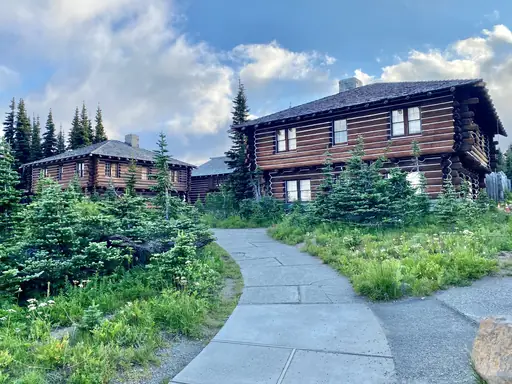
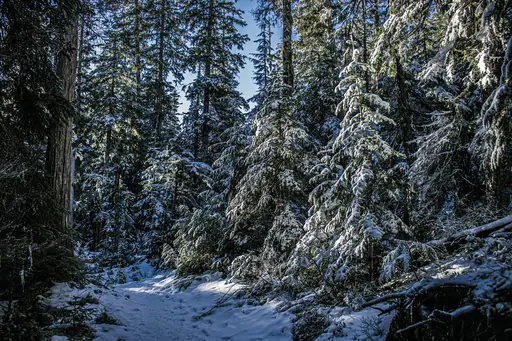
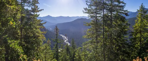
Mount Rainier rises to 4,392 metres, the most glaciated peak in the continental US. Wildflower meadows bloom across Paradise's slopes each summer below the mountain. Twenty-five named glaciers feed rivers that cut through the park's old-growth forest. Sunrise offers the closest road access to the mountain's eastern side.
National Park in United States
Katmai National Park
Bears, salmon and volcanic wonders
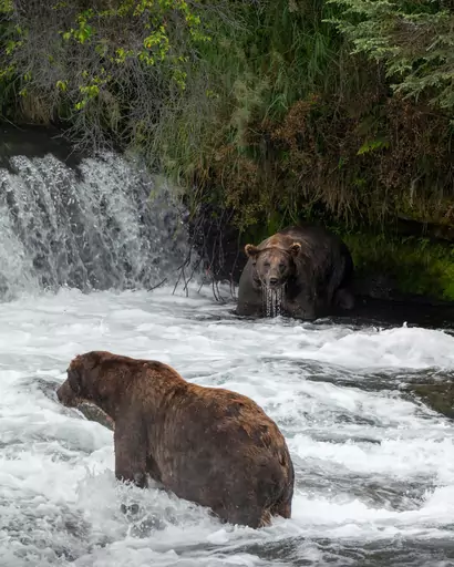
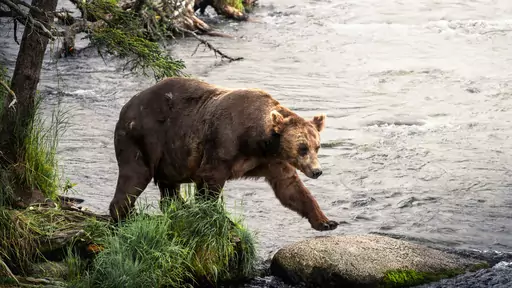
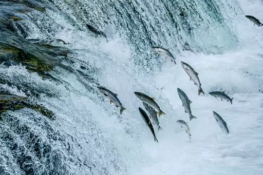
Brown bears gather at Brooks Falls each summer to catch salmon leaping upstream. The Valley of Ten Thousand Smokes still vents steam from an eruption in 1912. Volcanic ash fills the valley floor, largely unchanged more than a century later. Rivers wind through the park's remote wilderness towards the Alaskan coast.

State/Prefecture in United States
Michigan
Great Lakes State of Wonder
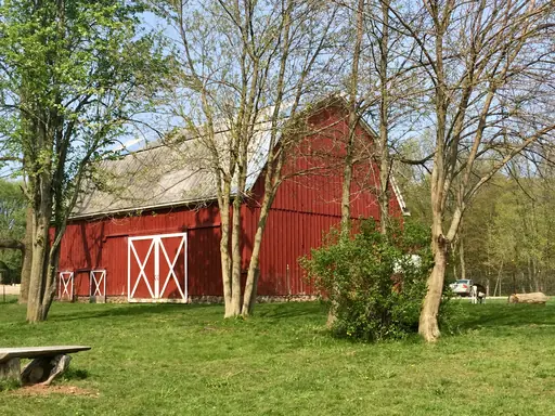
Sleeping Bear Dunes rise steeply above Lake Michigan's eastern shore. Pictured Rocks' sandstone cliffs stretch along Lake Superior, streaked with colourful mineral stains. Dense forests cover much of Michigan's Upper Peninsula, dotted with waterfalls and inland lakes. Great Lakes shoreline circles the state's two peninsulas on three sides.
City in United States
Juneau
Glaciers, whales and wild Alaska
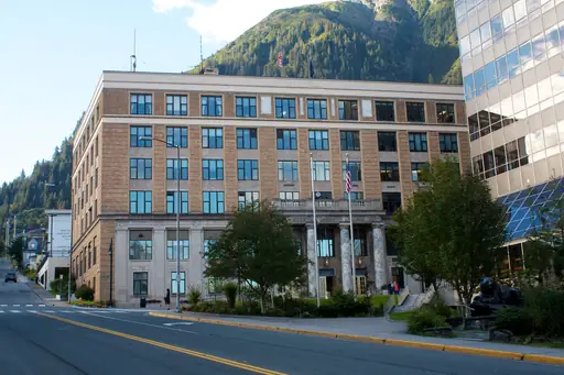
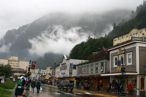
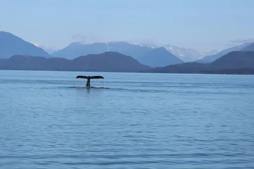
Mendenhall Glacier flows to the edge of a lake just outside downtown Juneau. Ice caves form beneath the glacier some winters, glowing pale blue inside. Steep mountains rise directly from the water around Alaska's capital. Whales and sea lions feed in the channels surrounding the city each summer.
Country
Greenland
Arctic wilderness with ice landscapes
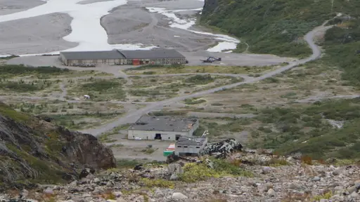
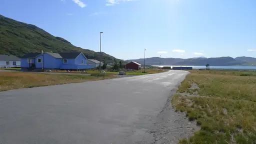
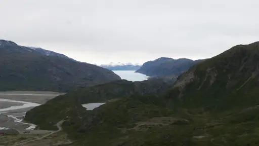
An ice sheet covers roughly eighty percent of Greenland, among the largest bodies of ice outside Antarctica. Icebergs calve from glaciers into fjords along the western coast. The northern lights appear over Greenland's dark winter skies most clear nights. Whales pass through coastal waters during the brief ice-free summer months.
Nature Reserve in Mexico
Calakmul Biosphere Reserve
Ancient Maya Ruins in Pristine Jungle
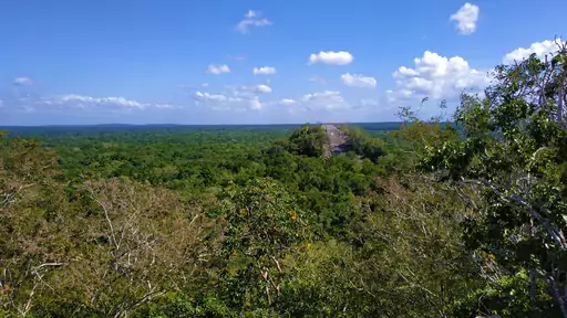
Dense jungle covers Calakmul, one of the largest protected rainforests in Mexico. Ancient Maya pyramids rise above the canopy, some among the tallest built by the civilisation. Howler monkeys and jaguars move through the reserve's remote, roadless interior. Climbing the tallest pyramid offers views stretching across unbroken forest to the horizon.
Island in United States
Kauai
Lush Landscapes and Secluded Beaches
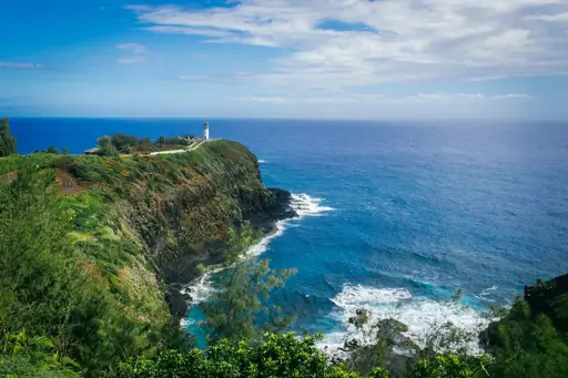
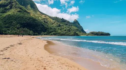
Na Pali Coast's cliffs rise nearly a thousand metres straight from the Pacific. Waimea Canyon cuts across the island's west side, carved in shades of red and green. Waterfalls drop through the Alakai Swamp, among the wettest spots on Earth. Helicopter tours reach parts of the coastline inaccessible by road or trail.
Town in Costa Rica
Quepos
Gateway to Tropical Adventure
Rainforest meets the Pacific along the coastline near Quepos, gateway to Manuel Antonio's beaches. Sportfishing boats head offshore where deep underwater canyons draw marlin close to shore. Mangrove estuaries near town shelter herons and other wading birds. Waterfalls drop through jungle in the hills just inland from the coast.
Lake in Canada
Lake Louise
Turquoise Gem of the Canadian Rockies
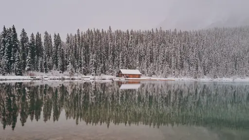
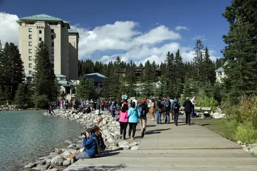
Lake Louise's turquoise water sits beneath the Victoria Glacier in the Canadian Rockies. Fine glacial rock particles suspended in the lake give it a milky, vivid colour. Canoes cross the still surface each summer, framed by snow-capped peaks. A trail climbs from the lakeshore towards a teahouse perched above the valley.
National Park in Canada
Jasper National Park
Untamed Wilderness and Starry Skies
The Columbia Icefield feeds glaciers across Jasper National Park, among the largest ice fields in the Rockies. Athabasca Glacier allows visitors to walk onto the ice on guided tours. Maligne Lake stretches beneath snow-capped peaks, a popular spot for canoeing. Wildlife including bears and bighorn sheep roam the park's forested valleys.
State/Prefecture in United States
Arizona
Desert Wonders and Scenic Adventures
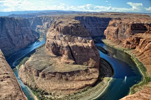
The Grand Canyon cuts a mile deep through northern Arizona, exposing nearly two billion years of rock. Red rock spires rise around Sedona, glowing brighter at sunrise and sunset. Antelope Canyon's narrow sandstone walls curve in smooth waves carved by flash floods. Saguaro cacti stand across the Sonoran Desert south of Phoenix.
Country
Saint Lucia
Tropical paradise with volcanic mountains
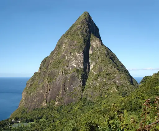
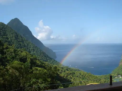
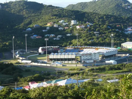
The Pitons rise sharply from the sea, twin volcanic spires on Saint Lucia's southwestern coast. Sulphur Springs nearby lets visitors drive directly into an active volcanic crater. Rainforest covers much of the island's mountainous interior. Diamond Falls tumbles over mineral-stained rock a short walk from the coast.
National Park in Guatemala
Tikal National Park
Lost Mayan City in the Jungle
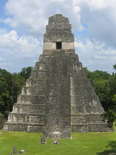
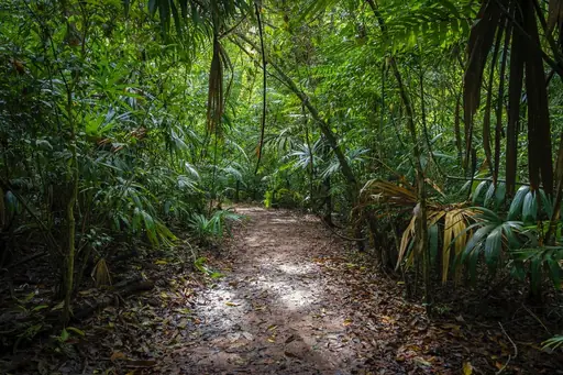
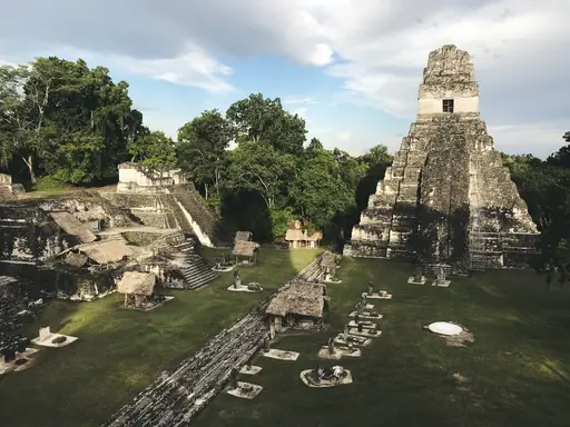
Maya pyramids rise above Tikal's rainforest canopy, some reaching over 60 metres tall. Howler monkeys call through the jungle surrounding the ancient city's ruins. Temple IV's summit offers views across unbroken forest to other distant temples. Toucans and parrots fly between the ruins each morning.
National Park in United States
Yellowstone National Park
Geysers, wildlife and untamed wilderness
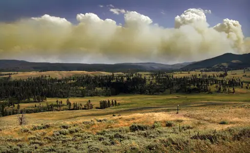
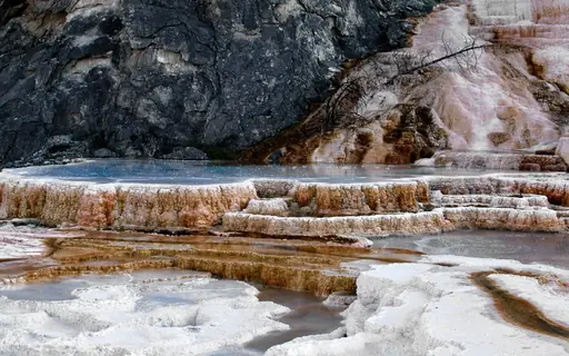
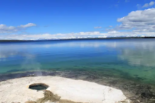
Old Faithful erupts roughly every ninety minutes, one of Yellowstone's most predictable geysers. Grand Prismatic Spring's rings of colour come from heat-loving bacteria in the water. Bison herds roam freely across the park's open valleys and grasslands. A supervolcano lies beneath the park, feeding its geothermal features.
City in United States
Niagara Falls (New York)
Thundering Wonder on the US Side
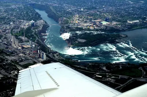
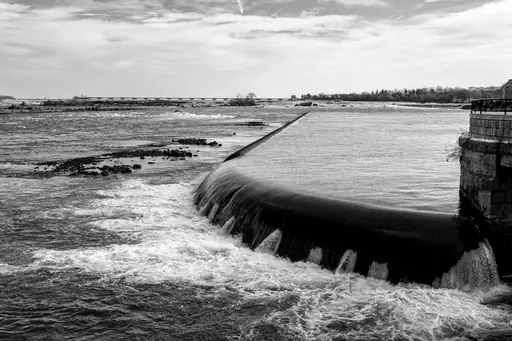
American Falls drops along the New York side of the Niagara River in a straight curtain. Goat Island separates it from the larger Horseshoe Falls just across the water. Cave of the Winds lets visitors walk close to the base through spray and mist. Observation towers on the American side look directly across the gorge.


Island in United States
Oahu
Hawaii’s Vibrant Island Adventure
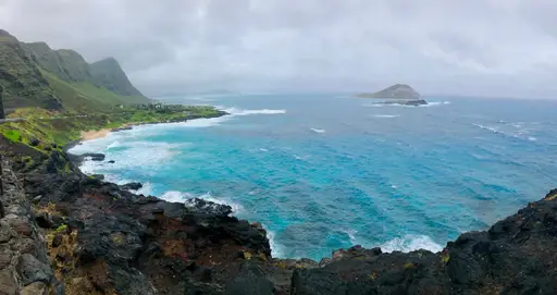
Waimea Bay's cliffs draw cliff jumpers into deep water off Oahu's North Shore. Diamond Head's volcanic crater rises above Waikiki, its rim reached by a short hiking trail. Winter swells turn the North Shore into some of the world's most watched surf breaks. Rainforest trails climb into the Koolau Mountains just outside Honolulu.
Region in Mexico
Baja California Sur
Desert meets ocean adventure land
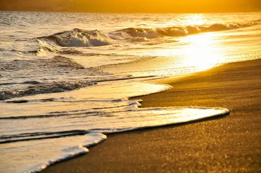
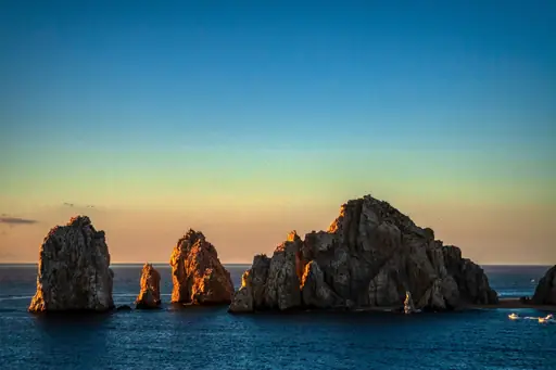
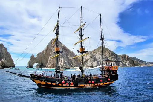
Grey whales migrate each winter into the sheltered lagoons of Baja California Sur to calve. Whale sharks feed near La Paz, drawing snorkellers into the surrounding water. Cardon cacti, among the tallest in the world, rise across the peninsula's desert terrain. Sea lions gather on rocky outcrops near Los Islotes year-round.
City in Canada
Whistler
Alpine Adventure, Epic Views, Year-Round Fun
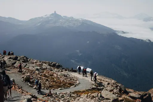
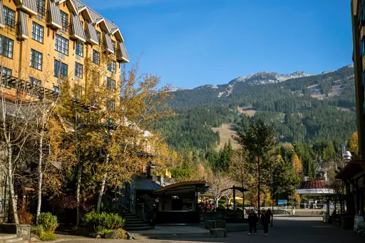
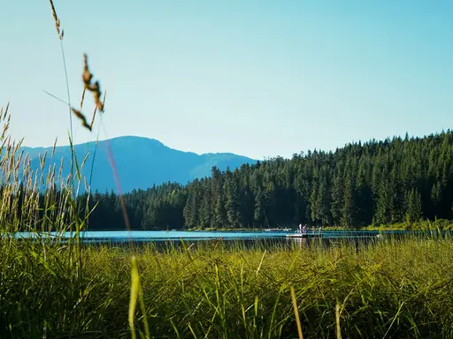
Two glaciated peaks rise above Whistler, connected by the world's longest unsupported cable car span. Alpine lakes dot the valley floor, ringed by dense coastal forest. Black Tusk's volcanic spire rises above nearby hiking trails. Snow blankets the mountains reliably from November through late spring most years.
Region in Mexico
Yucatán
Gateway to the Mayan world
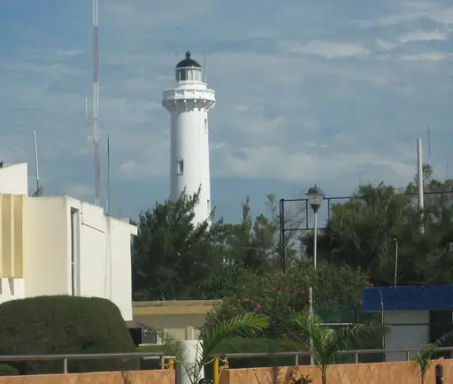
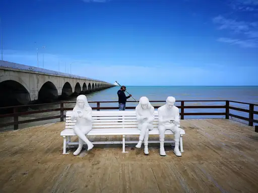
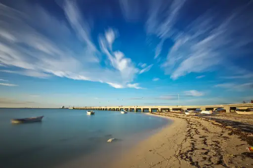
Cenotes dot the Yucatan Peninsula, sinkholes filled with clear water above collapsed limestone caves. Underground rivers connect many of the cenotes through flooded cave systems. Flamingos gather in coastal lagoons near Celestun each year. Mayan ruins rise above jungle canopy across several sites on the peninsula.
Town in Canada
Revelstoke
Big Mountain Adventure, Small Town Soul
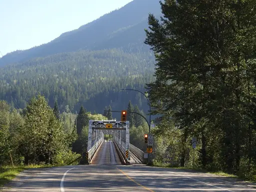
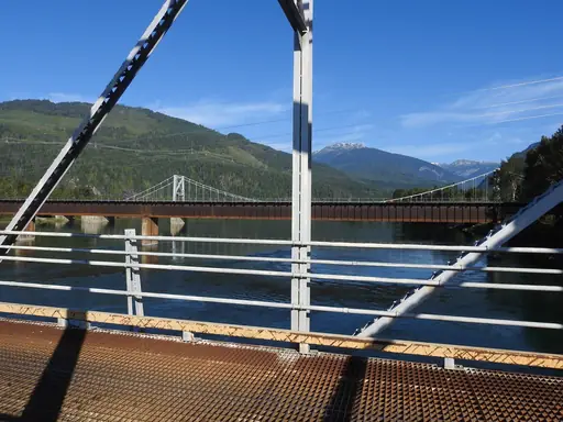
Steep peaks in the Selkirk Mountains rise around Revelstoke, known for deep, heavy snowfall. A gondola climbs directly from downtown towards alpine terrain above the valley. Waterfalls tumble through old-growth cedar forest along nearby hiking trails. Glacier-fed rivers cut through the surrounding mountains towards the Columbia River.
Waterfall
Niagara Falls
A Thundering Natural Wonder
Niagara Falls sends more than six million cubic feet of water over its edge every minute. Three separate falls make up the site, split between the US and Canadian sides. Mist rises constantly from the base, visible from viewpoints on both shores. Boats carry visitors close to the base of the thundering falls.
Landmark in Belize
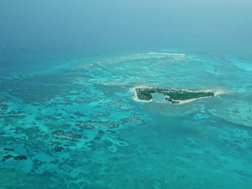
Great Blue Hole
Vibrant turquoise depths reveal ancient mysteries
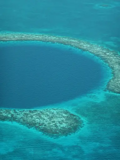
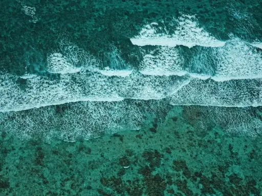
A perfectly round sinkhole drops more than 124 metres into the sea off Belize's coast. Ancient stalactites hang inside its underwater caves, formed when the hole was dry land. Divers descend past several distinct depth zones, each with different marine life. The hole's dark blue colour contrasts sharply with the surrounding turquoise reef.
Other lists you may like
Discover
Extraordinary natural wonders and scenic landscapes
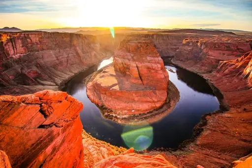
Natural wonders occupy a different category from other travel destinations. They are places where the scale, the geology, the light or the sheer improbability of what exists there…
Read more
Discover
Best natural wonder destinations in Africa
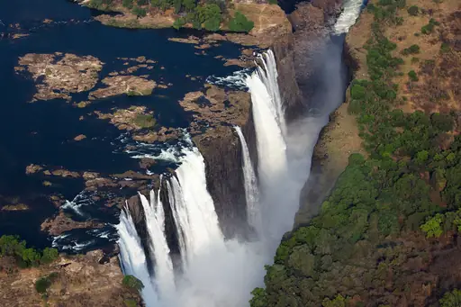
Africa's natural wonders are as varied as the continent itself, shaped by ancient geology, vast tectonic forces and climatic extremes that have produced landscapes of extraordinary…
Read more
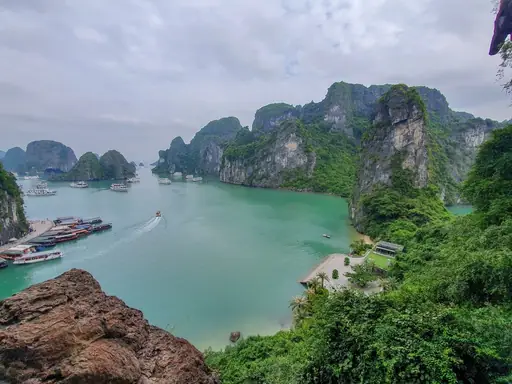
Discover
Best natural wonder destinations in Asia
Asia contains some of the most extraordinary natural wonders on earth, shaped by the collision of tectonic plates, vast river systems, volcanic activity and climatic extremes that…
Read more
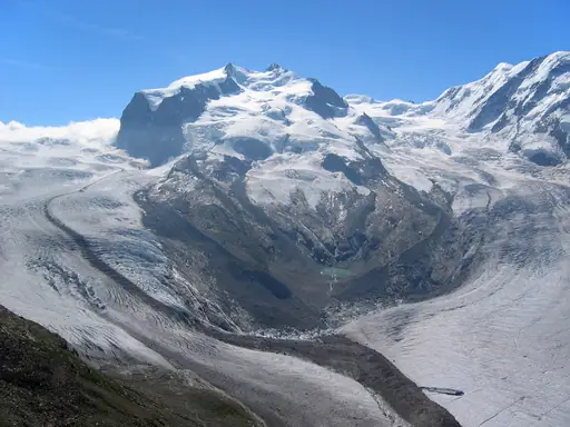
Discover
Best natural wonder destinations in Europe
Europe's natural wonders tend toward the intimate rather than the epic, but the continent has landscapes and natural phenomena that are genuinely extraordinary on any global scale.…
Read more
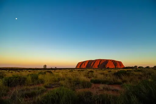
Discover
Best natural wonder destinations in Oceania
Oceania's natural wonders reflect the region's extraordinary geological and biological diversity, shaped by volcanic activity, ancient erosion and the forces that have kept island…
Read more
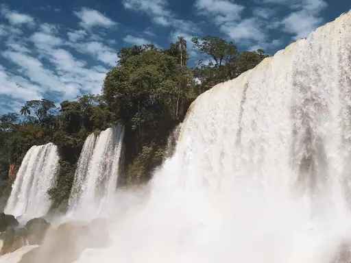
Discover
Best natural wonder destinations in South America
South America holds natural wonders on a genuinely extraordinary scale, from waterfall systems among the most dramatic on earth to vast desert landscapes known for extraordinarily…
Read more
What other users say about travelfilters
“travelfilters made it easy for me to find ski areas and compare what else they offer, so that I could find the best place for my personal travel style.”

Chris
Snowboarding & Onsen trip to Japan
“I love how transparent the data feels. There is no pushy upsell, just honest information and settings I can tune to my own travel style.”

Maria
After booking her 2027 winter escape
“The level of detail for each destination and how well those are displayed, make planning feel confident instead of overwhelming.”

Mina
Planned a week in New York City
“We used travelfilters for our planning from start to end. The trip turned out even better than expected, thanks to all their tools and customisation options.”

Allan & Etienne
Trip to Japan to see autumn foliage
“Thanks to travelfilters, I found some hidden gems to see. Being able to filter for exactly your interests is a game changer for my travel planning.”

Michael
Tour through the old cities of Northern Italy
“The customizable filters helped me find a quiet beach town with good wifi and low season crowds in under five minutes.”

Diego
Weekend Escape to Llanes, Spain
“The airport connection map saved me hours by showing good flight options from my home airport to lesser-known cities.”

Nguyen
Planning a 2027 trip to France
“The website is clean, fast and focused on the search itself, which makes travelfilters feel more like a professional tool than an ad-heavy booking site.”

Hassan
Christmas Market trip, Germany
