



Was this page helpful?

| Power Grid: |
120 V, 60 Hz Plug: Type A , Type B
Type A:
  Read about power adapters |
|---|---|
| Currency: |
Guatemalan Quetzal (GTQ) £1 ≈ GTQ 10.17 |
| Cashless info: |
Rating 3/5
Cashless payments are not widely accepted outside of major cities in Guatemala. While credit cards are accepted in some places, cash is still commonly used.
Save with a travel credit card |
| eSIM providers: |
Best value: Saily Flexibility: Airalo Read our in-depth comparison |
| Tipping: | Tipping is appreciated in Guatemala, especially in restaurants. A 10-15% tip is common. Taxi drivers may also expect small tips for good service. |
|---|---|
| Public drinking: | Public drinking is not widely accepted in Guatemala, and alcohol is consumed in licensed venues such as bars and restaurants. |
| Public smoking: | Smoking is prohibited in most indoor public spaces, including restaurants and bars. |
| Independence Day (15 September) |
Celebrates Guatemala's independence from Spain |
|---|---|
| Christmas (25 December) |
Celebrated widely throughout the country |
| Emergency contact: | Emergency Numbers: 110 (Police), 128 (Ambulance), 122 (Fire) |
|---|---|
| Taxi apps: | Uber |
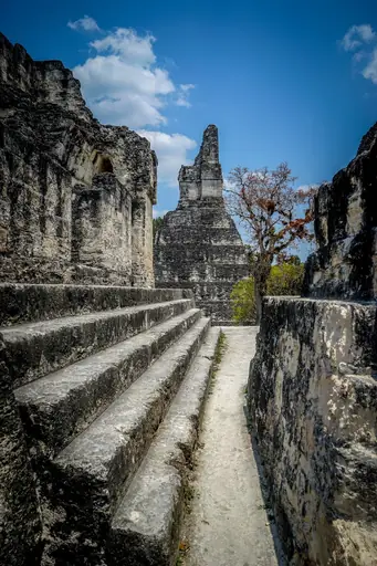
| Other: | Guatemala is known for its rich Mayan heritage, volcanoes, and natural beauty. It is an excellent destination for those interested in history, culture, and outdoor adventures. |
The best times to travel section shows how the months compare for a visit, so you can find the time of year that fits what you want to do.
Background colours of the months:
The colour shows the typical temperature: yellow (hot), green (mild) and blue (cold). How strong the colour is shows the travel season: full colour means high season, soft colour means shoulder season and soft-striped means off season.
Weather symbols:
Each month has one symbol showing what the weather is typically like, such as hot and sunny, freezing or a rainy or snowy season. Use them to quickly spot months that match the weather you want, or to avoid the ones that don't.
Crowdedness:
The people icon shows how busy the place usually is. The more people, the more crowded it gets.
Additional notes:
The grey info boxes point out special things worth knowing, like recurring weather issues or seasonal events.
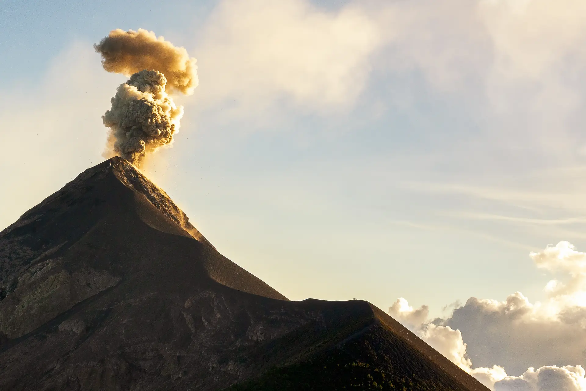
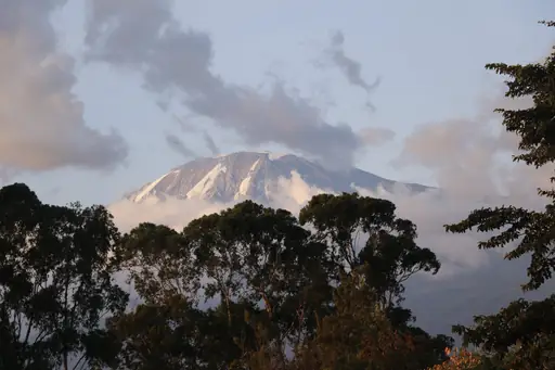
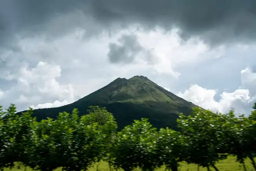
Volcán de Fuego stands as one of Guatemala’s most prominent geological features. Located in the southern part of the country this active volcano rises sharply above surrounding landscapes. Its frequent eruptions shape both the terrain and daily life for nearby communities. The mountain’s steep slopes are covered with dense forests that give way to open fields near its base.
The volcano is part of a larger volcanic range that stretches across Central America. Fuego’s activity draws scientists from around the world who study its patterns and impacts. Ash clouds often rise high into the sky creating temporary disruptions for air travel. Local farmers adjust their planting schedules to account for periodic ash deposits which enrich soil over time.
Visitors can approach the volcano through designated trails that wind up rocky paths. Guides familiar with the area lead hikes ensuring safety while sharing stories about past eruptions and recovery efforts. Early morning visits reveal mist clinging to crater edges while afternoon light highlights lava flows in stark contrast against green hillsides. The sound of distant rumbles reminds travelers of the mountain’s ongoing power.
Surrounding towns maintain strong cultural ties to the volcano. Festivals honor its presence through music dance and shared meals prepared with crops grown on fertile ground. Residents adapt their routines around natural rhythms shaped by volcanic cycles. For those seeking adventure or education Fuego provides a clear example of Earth’s dynamic forces at work.
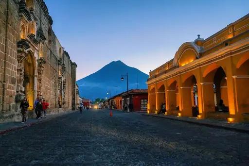
Access to Fuego Volcano in Guatemala requires careful planning due to its active status and restricted zones. The nearest major city, Antigua Guatemala, serves as a common starting point via road or bus from Guatemala City, approximately 50 km away. Travelers must adhere to official routes and avoid restricted areas near the volcano’s slopes, which are monitored by local authorities. Hiking access is permitted only through designated trails with proper permits, often requiring guided tours for safety. During heightened volcanic activity, entry may be temporarily suspended. Visitors should consult real-time updates from Guatemala’s National Institute of Seismology before planning visits. Air travel to nearby La Aurora International Airport remains unaffected, but ground transport near the volcano is limited during eruptions or high alert levels.
Near the active Fuego volcano, accommodations range from rustic eco-lodges perched on volcanic slopes to boutique inns overlooking crater views. Many guesthouses offer basic, locally sourced meals and guided trekking passes, while higher-end resorts provide heated pools, spa services and panoramic terraces for sunrise photography. The region is renowned for its “pueblo” style homestays, where families host travelers in traditional garb, offering an immersive cultural experience. Prices vary from US$30 (£22.43) per night for shared dormitories to US$150 (£112.14)+ for private suites with volcanic hot springs access. Seasonal peaks during the dry months see a surge in boutique offerings, whereas off‑season rates drop, making it ideal for budget-conscious trekkers.
Log in to add this place to a travel list and get a summary of all recommended items for your whole trip.
We calculate the average costs when travelling to destinations and compare those with the living costs at your home. With this you can get an estimate of how expensive or cheap the destination is for you.
To customise this, you can set up which location and price level are used for the calculations in your account settings.
The exchange rate price factor shows how expensive or cheap a currency currently is compared to its historical average. It's a quick way to see if a country is currently more or less affordable due to exchange rate changes.
