
Best island getaway destinations in North America
Best island getaway destinations in North America
Remote caribbean cays and historic coastal island spots in North America
North America's island destinations range from the tropical Caribbean archipelagos and the volcanic Hawaiian chain to the temperate coastal islands of the Pacific northwest and the remote subarctic islands of the far north. The Caribbean alone contains an enormous variety of island characters, from heavily developed resort destinations to smaller islands where distinct local cultures and largely undeveloped coastlines remain the primary draw.
The Caribbean has the most developed island tourism infrastructure in the region, with direct flights from major North American and European cities, established resort circuits and ferry connections across several island groups. Hawaii offers a parallel experience with volcanic landscapes, marine environments and Polynesian cultural heritage alongside the infrastructure standards of a developed domestic destination. Both regions have well-defined seasons and hurricane risk in the Caribbean requires careful timing.
Hurricane season runs from June to November across the Caribbean and represents a genuine access and safety risk rather than merely a weather inconvenience. Overtourism affects the most visited islands and lesser-known alternatives within the same archipelagos frequently offer comparable natural quality with considerably fewer visitors. Costs vary considerably across the region with some of the most celebrated destinations among the most expensive island getaways globally.
Lists by region
State/Prefecture in United States
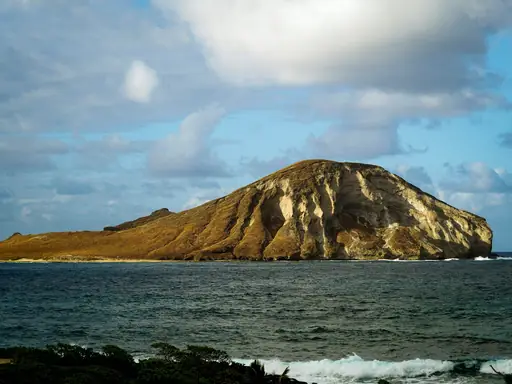
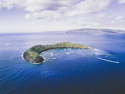
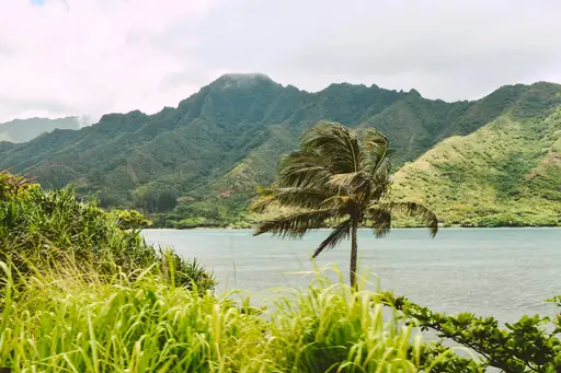
Hawaii
Tropical Vibes and Volcanic Wonders
Kilauea on the Big Island is one of the most active volcanoes on Earth. Glowing lava sometimes lights the crater at night. You can walk the rim trails and see steam vents in Hawaii Volcanoes National Park. Seven other main islands have their own beaches and hiking trails.
Island in Bahamas
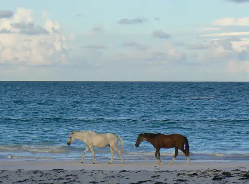
Eleuthera
Unspoiled pink beaches and turquoise waters
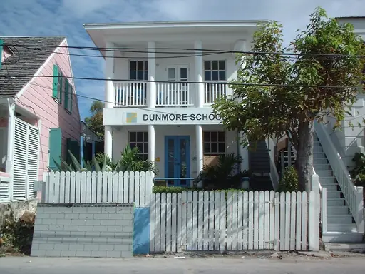
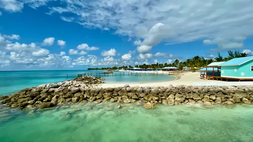
The Glass Window Bridge is a narrow strip of road between two seas. Rough Atlantic waves crash on one side. You can stand on the bridge and watch calm green water on the other. Pink sand beaches line Harbour Island just off the northern tip.
Outer Territory in France
Guadeloupe
Caribbean Gem with French Flair
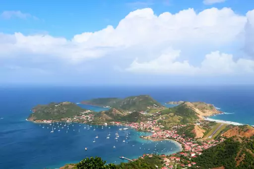
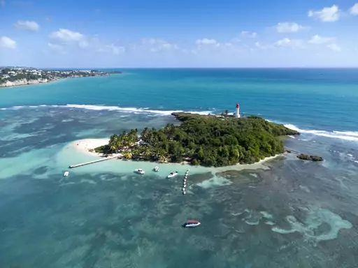
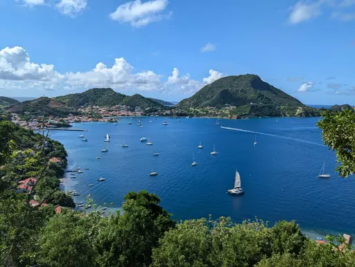
La Soufrière volcano rises above the rain forest of Basse-Terre. It is the highest peak in the Lesser Antilles. Hikers can climb to a steaming summit and look down on sulphur vents and rocky ground. The Carbet Falls nearby drop in three tiers through the jungle.
Outer Territory in United Kingdom
Turks and Caicos Islands
Sun-drenched beaches with crystal waters
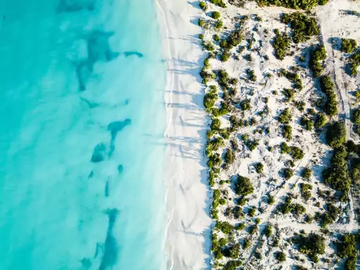
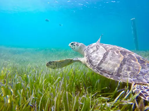
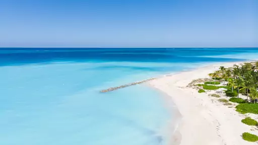
Grace Bay on Providenciales got its first beachfront hotel in 1984. Providenciales is the most populated of the eight inhabited islands and has the main airport. This British Overseas Territory has thirty islands in total. Its coral reef is one of the longest in the world.
Island in Bahamas
Paradise Island
Turquoise Waters and Endless Thrills
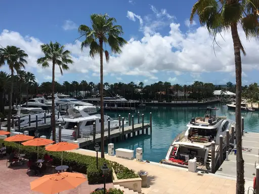
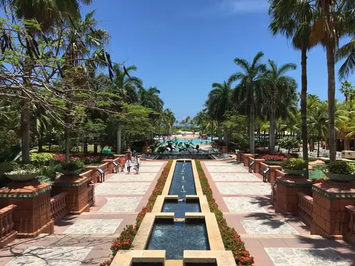
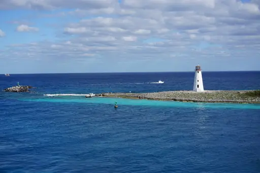
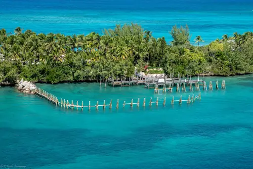
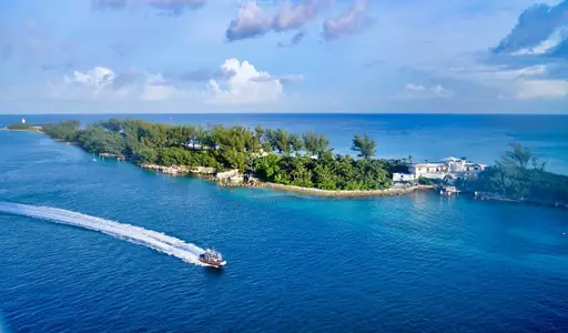
Hog Island was the old name of this island until 1959. A bridge from Nassau now crosses the harbour to its sandy beaches. Cabbage Beach runs for about two miles along the north shore. Swimmers can wade out in warm water and watch the sunset.
Outer Territory in United Kingdom
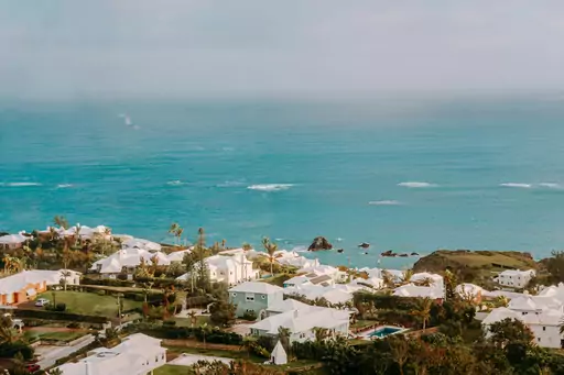
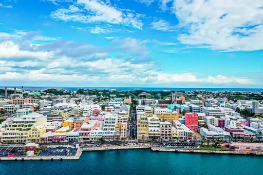
Bermuda
Pink sands and turquoise waters
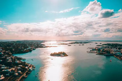
Horseshoe Bay Beach on the south shore has famous pink sand. Bits of crushed shell and coral tint the sand soft pink. You can swim in clear turquoise water or explore hidden coves at the east end. The island sits about 650 miles east of North Carolina.
Island in Antigua and Barbuda
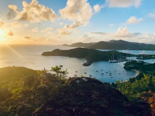
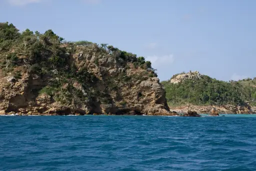
Antigua
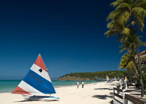
365 beaches and turquoise waters
Nelson's Dockyard in English Harbour is a UNESCO World Heritage Site. British ships once repaired here in the age of sail. You can walk the old stone buildings and watch yachts glide into the harbour. Shirley Heights above has a lookout and a lively Sunday evening party.
Island in United States
Jekyll Island
Historic Playground with Natural Beauty
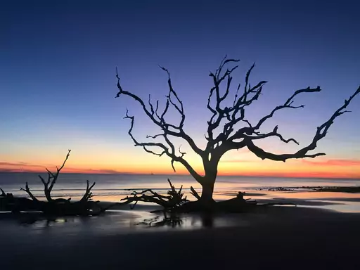
Driftwood Beach is a stretch of sand covered in bleached fallen trees. Salt and waves have turned the old oaks and pines silver. You can walk among the twisted trunks at low tide. The Rockefellers and other wealthy families once spent winters at a private club on the island.
Country
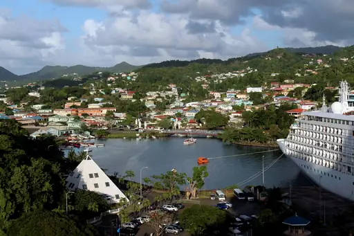
Jamaica
Vibrant culture meets pristine beaches
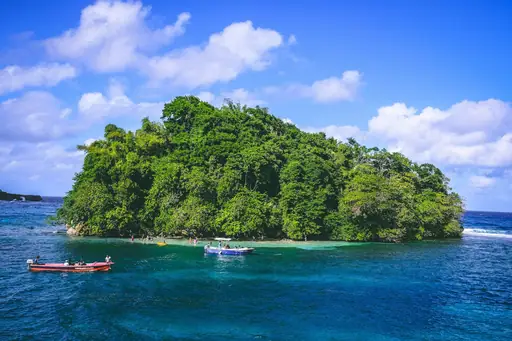
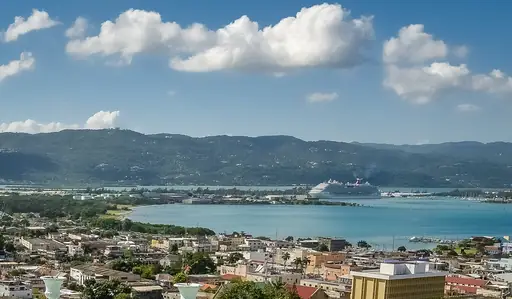
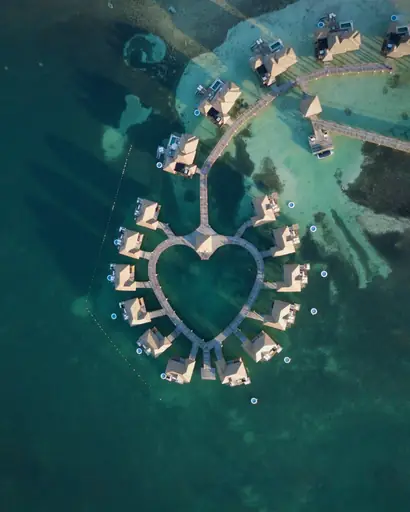
Seven Mile Beach in Negril is a long curve of soft white sand. Calm water makes it easy to wade out and swim. You can watch the sun set from the rocky cliffs on the West End. Blue Mountain coffee grows in the cool hills far inland.
Country
Saint Lucia
Tropical paradise with volcanic mountains
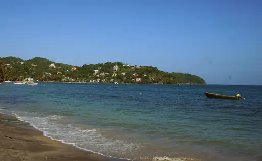
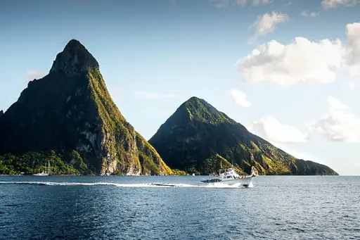
Two steep volcanic spires called the Pitons rise straight from the sea. They are a UNESCO World Heritage Site near the town of Soufrière. You can hike Gros Piton for views or swim in the calm bay between the two. Sulphur Springs nearby has hot mud and steaming vents.

Island
St. Martin
Dual-Nation Beaches, Cuisine and Culture
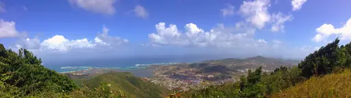
The island has been shared by France and the Netherlands since 1648. Open borders let you cross between the two sides without a stop. You can eat fresh seafood at Grand Case on the French side. Planes roar low over Maho Beach on the Dutch side as they land.
Outer Territory in United Kingdom
British Virgin Islands
Pristine sailing paradise with beaches
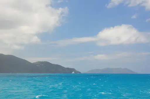
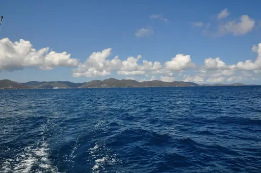
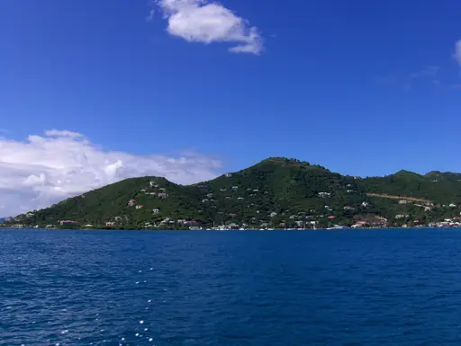
The Baths on Virgin Gorda is a jumble of giant granite boulders. Seawater fills the pools and shaded caves between them. You can scramble through tight passages and swim in the cool pools. Sailboats make a short hop from there to the beach bars of Jost Van Dyke.
Island in United States
Kauai
Lush Landscapes and Secluded Beaches
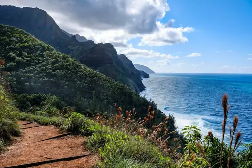
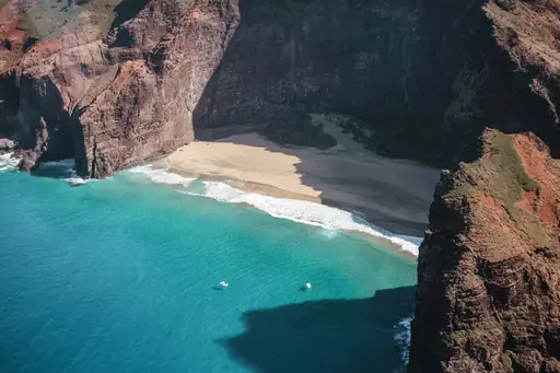
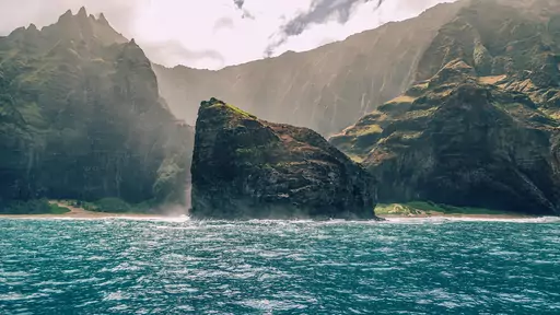
The Nā Pali Coast has green cliffs that rise up to 4,000 feet. No road reaches this wild stretch of the north shore. You can see it by boat or hike the Kalalau Trail. Waimea Canyon inland is called the Grand Canyon of the Pacific.
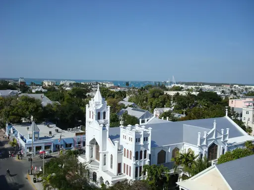
City in United States
Key West
Tropical charm at the end of the road
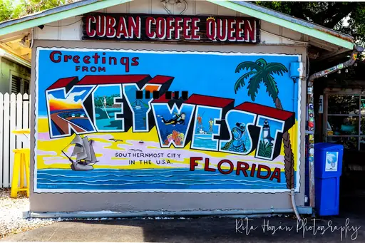
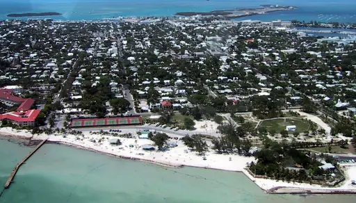
Mallory Square hosts a sunset celebration on the waterfront every evening. Street performers and artists fill the dock as the sun goes down. You can watch the sky turn orange over the Gulf of Mexico. A giant concrete buoy at the island's southern tip is a popular photo stop.
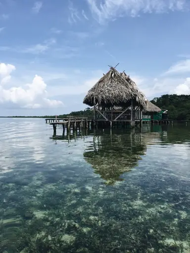
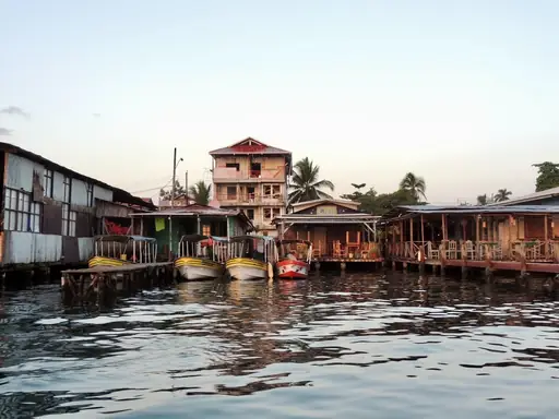
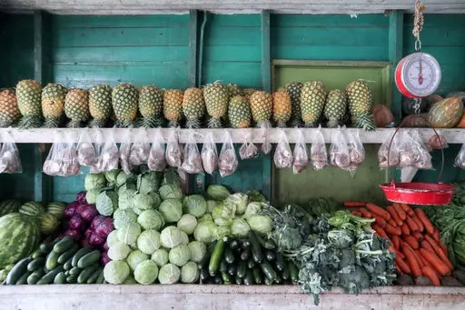
Region in Panama
Bocas del Toro
Tropical Bliss in Panama
Red Frog Beach on Isla Bastimentos is named for the tiny red frogs in its forest. They hop through the leaves along the jungle trail to the sand. You can surf small waves or swim in warm Caribbean water. Water taxis link the archipelago's islands because roads are few.
Region in Bonaire, Sint Eustatius and Saba
Bonaire
Caribbean diving paradise with volcanoes
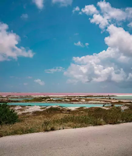
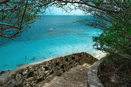
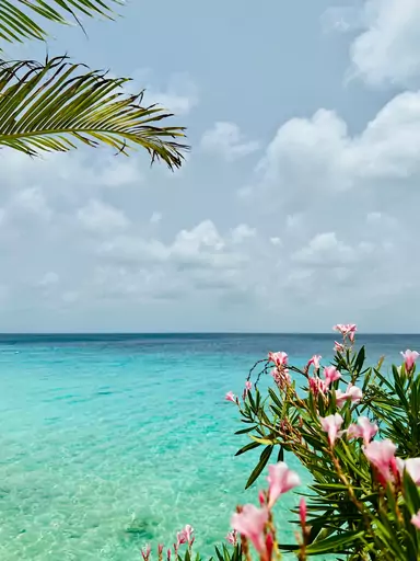
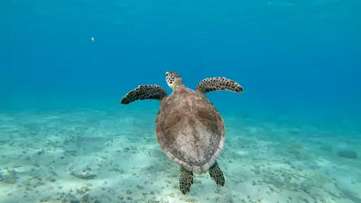
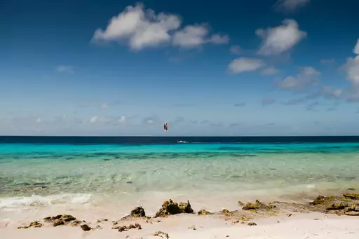
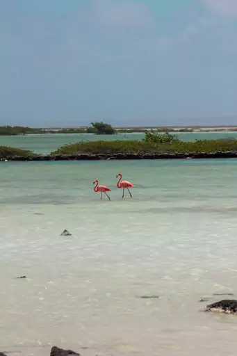
Yellow painted rocks along the road mark dozens of shore dive sites. Divers step off the coast and swim straight to coral reefs. The reef is part of Bonaire National Marine Park with clear warm water. Pink flamingos wade in the salt ponds on the south end of the island.
Outer Territory in United States
U.S. Virgin Islands
Caribbean Paradise with U.S. Convenience
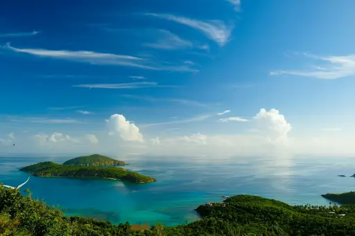
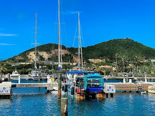
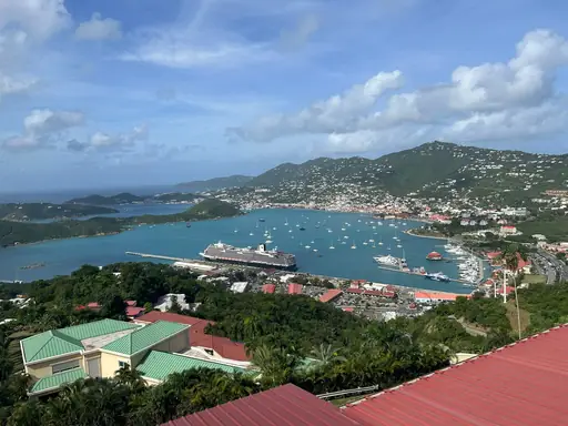
Virgin Islands National Park was created in 1956 when Laurance Rockefeller's Jackson Hole Preserve gave its land on St. John to the National Park Service. It covers about 60 percent of the island. Trunk Bay has an underwater snorkelling trail along the reef. Taíno rock carvings lie along the Reef Bay Trail.
Island in Bahamas
Great Exuma Island
Crystal clear waters and tranquility
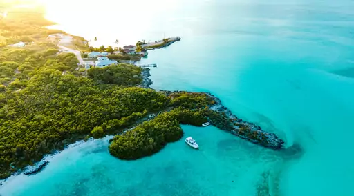
Tropic of Cancer Beach lies on the line marking the northern edge of the tropics. The beach is wide and soft with clear shallow water. You can take a boat from nearby to see the swimming pigs at Big Major Cay. George Town holds the Family Island Regatta each April.
Island in Mexico
Isla Mujeres
Relaxed Island Vibes and Crystal Waters
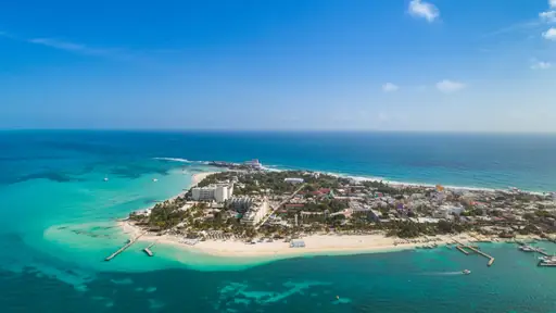
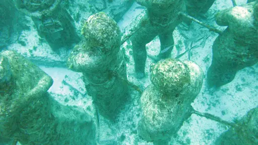
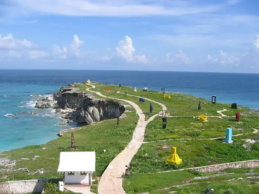
Whale sharks gather off the island each summer to feed on plankton. They are the largest fish in the ocean but eat tiny food. Snorkellers can swim beside them on boat trips from June to September. Punta Sur at the southern tip has sea cliffs and a sculpture park.
Island in Cayman Islands
Grand Cayman
Crystal waters, stingrays and sunsets
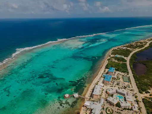
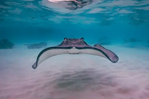
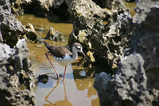
Stingray City is a sandbar in the calm shallow North Sound. Dozens of southern stingrays glide around swimmers' legs. You can stand waist deep in clear water and watch them with a guide. Seven Mile Beach on the west coast has soft white sand and calm water.
City in Bahamas
Nassau
Turquoise Waters, Colorful History, Island Vibes
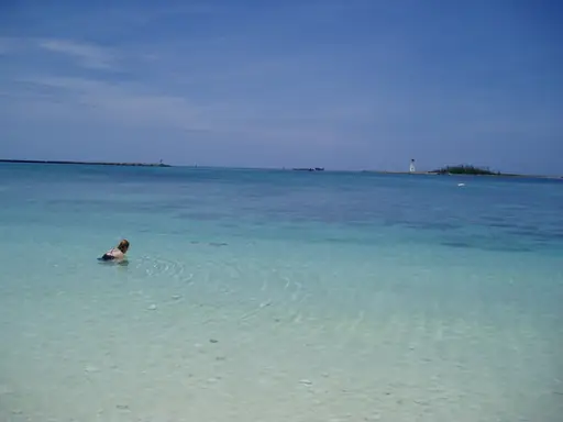
The Queen's Staircase in Nassau has 66 steps cut into solid limestone. Enslaved workers cut it by hand in the late 1700s. You can climb up to Fort Fincastle for views over the harbour. Junkanoo parades fill Bay Street with costumes and drums on Boxing Day and New Year's Day.
Country
Antigua and Barbuda
Tropical paradise with pristine beaches
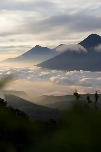
The pink sand beach on Barbuda stretches for about 17 miles. Tiny bits of red coral and shell tint the sand. Travellers can walk for hours and meet almost no one. Codrington Lagoon nearby shelters a huge colony of frigatebirds that you reach by small boat.
Island in United States
Oahu
Hawaii’s Vibrant Island Adventure
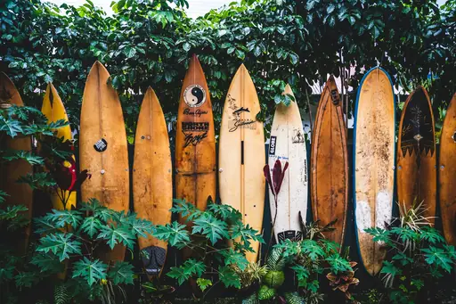
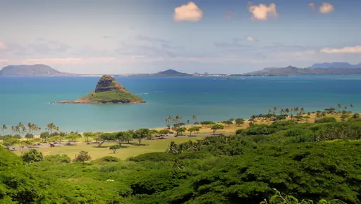
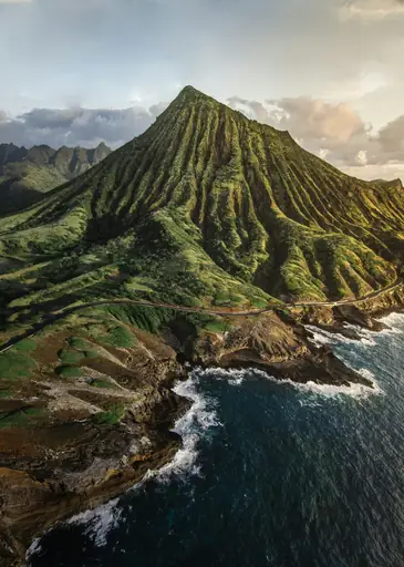
Huge winter waves roll onto the North Shore at Waimea Bay and Pipeline. Surf can reach 20 feet or more from November to February. You can watch from the sand as surfers race down the walls of water. Pearl Harbor on the south shore has memorials to World War II.
Country
Aruba
White Sands and Sunny Vibes
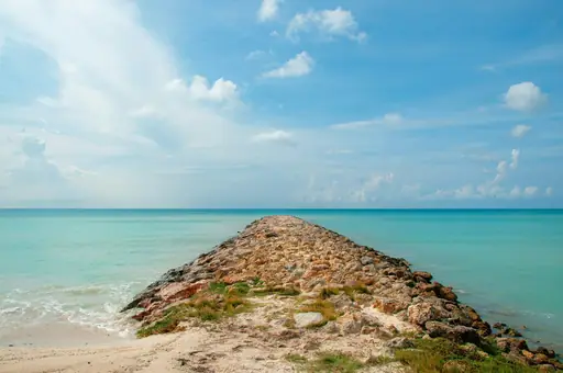
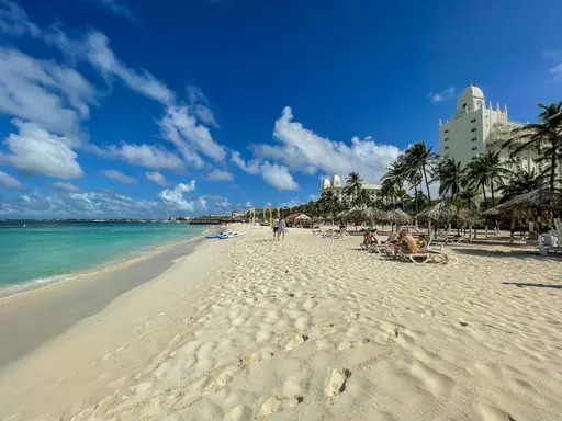
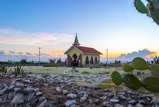
Eagle Beach has wide white sand and divi divi trees bent by the wind. Sea turtles nest on this beach each year. You can swim in calm shallow water and watch the sun set. The island lies south of the main hurricane belt, so skies stay mostly dry.
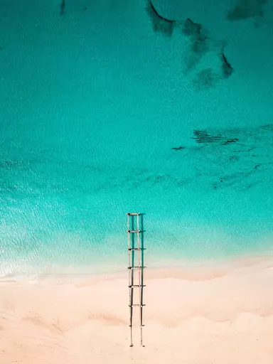
Island in Turks and Caicos Islands
Providenciales
Turquoise Waters Meet White-Sand Beaches
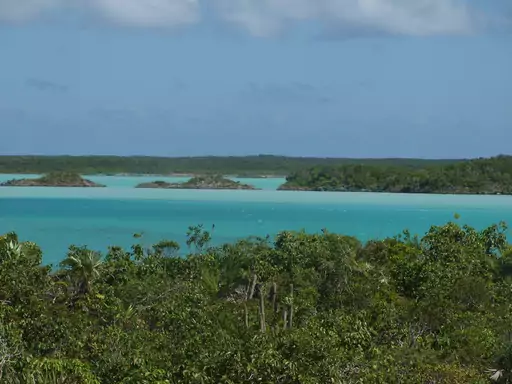
Grace Bay Beach stretches about 12 miles along the north shore. The sand is powder soft and the water is a clear turquoise. You can snorkel in calm shallows protected by a long barrier reef. Chalk Sound National Park inland has a lagoon of bright blue water.
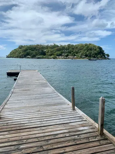
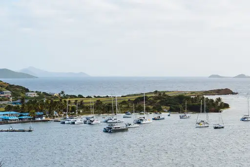
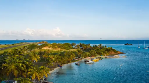
Country
Saint Vincent and the Grenadines
One destination, 32 islands, countless possibilities
The Tobago Cays are five tiny uninhabited islands inside a marine park. Shallow reefs and bright turquoise water surround them on every side. You can snorkel with green sea turtles that graze on the seagrass. Sailboats and day tour boats reach them from Bequia and Mustique.
City in United States
Honolulu
Aloha Vibes and Ocean Adventures
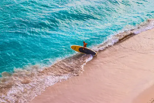
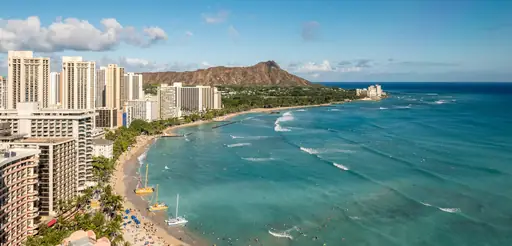
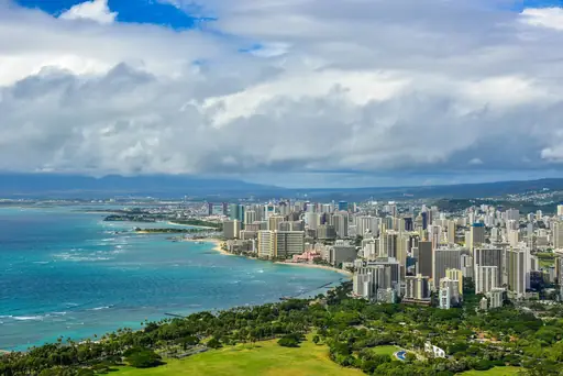
Diamond Head is an old volcanic crater beside Waikiki Beach. The trail to the top takes about an hour. From the rim you can see surfers, high rise hotels and the blue Pacific. Gentle waves at Waikiki below make a good spot to learn to surf.
Outer Territory in United Kingdom
Cayman Islands
Tropical paradise with crystal waters
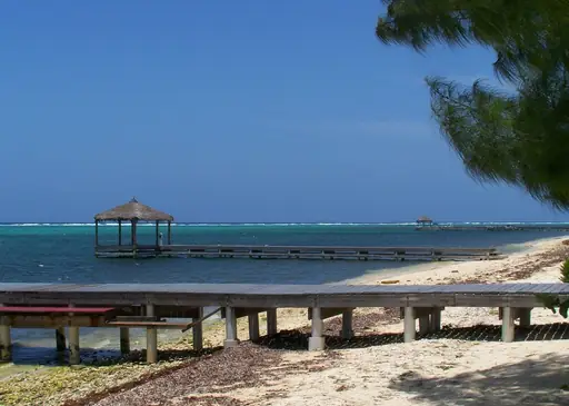
Bloody Bay Wall off Little Cayman drops from shallow reef into deep blue water. The top of the wall starts just 18 feet below the surface. Snorkellers float over bright coral in the shallows while divers drop along the wall. Only a couple hundred people live on Little Cayman.
Country
Barbados
Tropical paradise with year-round sunshine
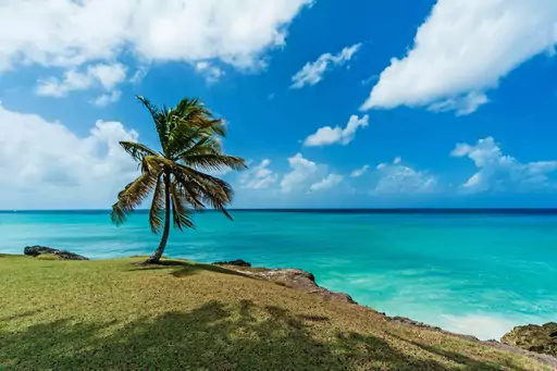
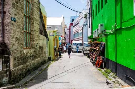
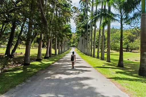
Giant boulders sit in the surf at Bathsheba on the east coast. Atlantic waves roll in and make the Soup Bowl a famous surf break. Swimmers prefer the calm Caribbean beaches on the west coast. Rum has been made on the island since at least 1703.
Country
Saint Kitts and Nevis
Tropical paradise with volcanic peaks
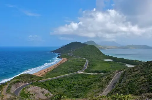
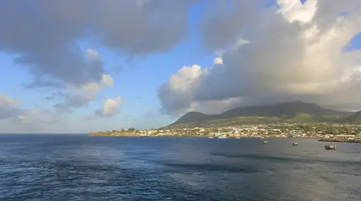
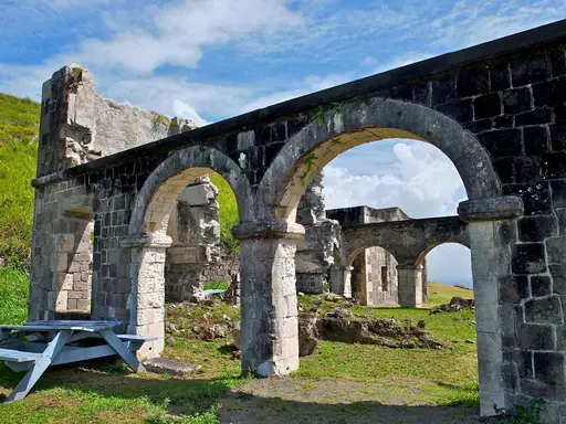
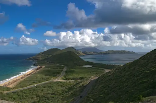
A channel called the Narrows separates the twin islands by about two miles. A short ferry ride links Basseterre on St. Kitts to Charlestown on Nevis. You can ride the St. Kitts Scenic Railway past old sugar cane fields. Nevis has quiet beaches and a cloud covered volcano.
Outer Territory in Netherlands
Bonaire, Sint Eustatius and Saba
Caribbean Gems of Nature & Adventure
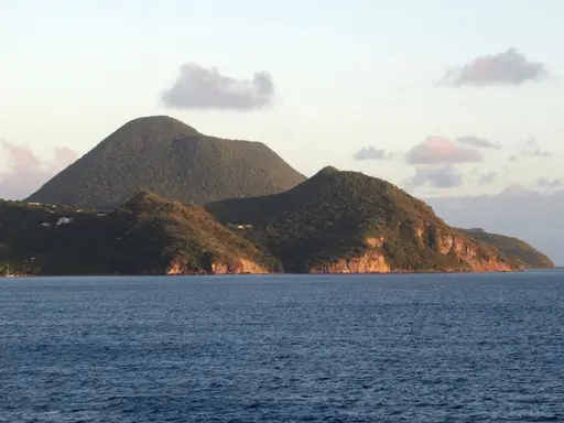
Mount Scenery on Saba rises nearly 3,000 feet straight out of the sea. More than 1,000 stone steps lead through cloud forest to the summit. You can hike up and look down on red roofed villages. Divers explore underwater pinnacles in the marine park off the coast.
Outer Territory in France
Martinique
Tropical Charm and French Flair
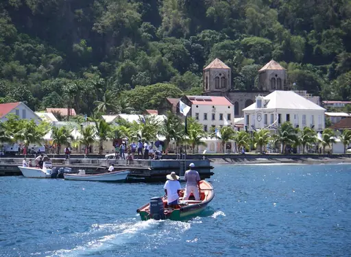
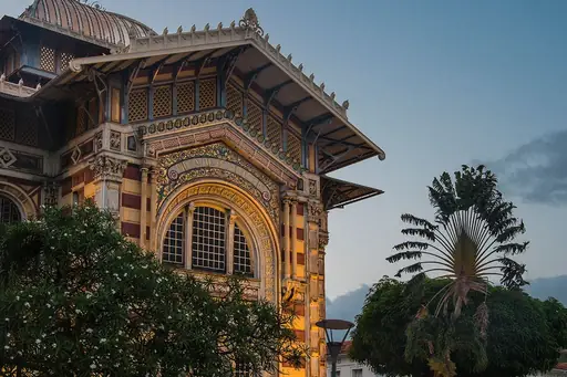
Mount Pelée is a volcano that towers over the island's northern coast. In 1902 it erupted and destroyed the town of Saint-Pierre. Travellers can walk through the old ruins and hike the volcano's green slopes. Black sand beaches in the north reflect the island's volcanic past.
City in Curaçao
Willemstad
Caribbean Colors, Dutch Heritage, Island Vibes
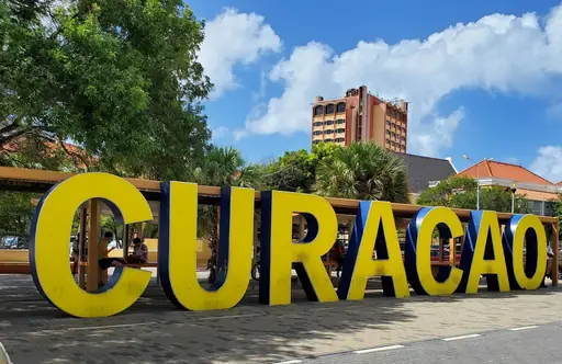
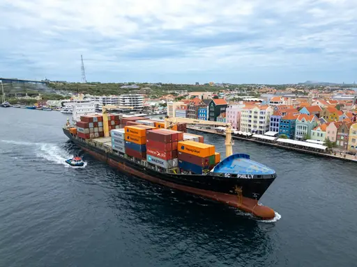
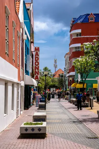
The historic quarters of Punda and Otrobanda face each other across Sint Anna Bay. The floating Queen Emma pontoon bridge links them and is still in use. The Dutch founded Punda in 1634. UNESCO listed the city centre and its former suburbs as a World Heritage Site in 1997.
Island in Honduras
Roatán
Coral Reefs, Caribbean Vibes, Adventure
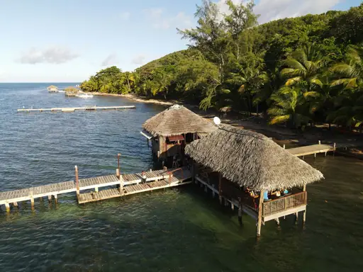
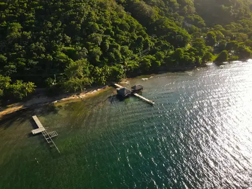
The Mesoamerican Barrier Reef runs just offshore along Roatán's coast. It is one of the largest barrier reef systems in the world. Snorkellers can swim out from West Bay Beach to bright coral and fish. Boats take divers to walls covered in sponges and sea fans.
Island in United States
Maui
Island of Sun, Surf and Serenity
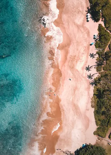
The Road to Hana winds past 59 bridges and more than 600 curves. It passes waterfalls, bamboo forests and a black sand beach at Waiʻānapanapa. You can stop to swim in cool pools along the way. Haleakalā crater above the clouds is a famous place to watch sunrise.
Island in Canada
Vancouver Island
Untamed Beauty and Coastal Charm
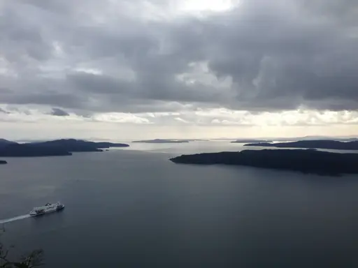
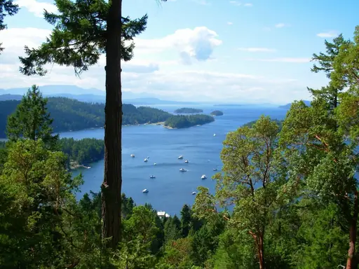
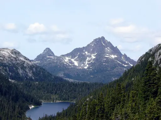
A ferry crosses the Strait of Georgia to this island because no bridges or tunnels link it to the mainland. Victoria is on the southern tip. Tofino is a beach resort town on the coast. Resident orcas live in the waters around the island in two main groups.
Island in United States
Lānaʻi
Privately owned paradise of contrasts
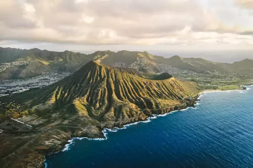
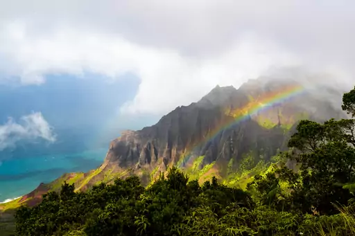
A rusted ship from the 1940s sits stuck on a reef off Shipwreck Beach. Strong winds blow in and the water is too rough for swimming. Hulopoʻe Bay on the south shore has calm water and spinner dolphins. Most of the island has dirt roads and no traffic lights.
Overseas Territory in France
Saint Barthélemy
Luxury Island with Caribbean Charm
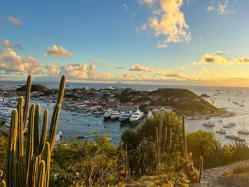
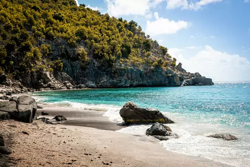
Sweden ruled the island from 1784 until 1878. Its main town, Gustavia, is named for a Swedish king. You can spot Swedish names, old stone buildings and yachts around the harbour. Shell Beach nearby has calm water and a carpet of tiny pink and white shells.
Other lists you may like
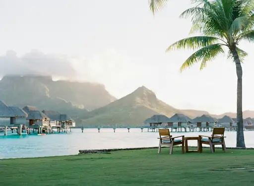
Discover
Top luxury island resort destinations
Luxury island travel is at its best when the setting and the experience reinforce each other, when the quality of what surrounds you matches the quality of where you are staying.…
Read more
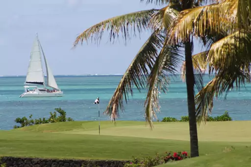
Discover
Top luxury island resort destinations in Africa
Africa's luxury island scene sits almost entirely in the Indian Ocean, where a handful of destinations have built strong reputations over decades of high end tourism. The…
Read more
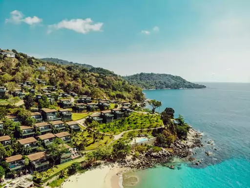
Discover
Top luxury island resort destinations in Asia
Asia is home to the destination most people picture first when they think of luxury island travel, along with several others that have built strong reputations of their own. The…
Read more
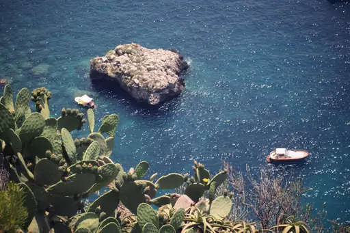
Discover
Top luxury island resort destinations in Europe
Asia is home to the destination most people picture first when they think of luxury island travel, along with several others that have built strong reputations of their own. The…
Read more
Discover
Top luxury island resort destinations in North America
North America's luxury island scene splits between two very different settings, the Caribbean's turquoise coastline and Hawaii's volcanic islands out in the Pacific. The…
Read more
Discover
Top luxury island resort destinations in Oceania
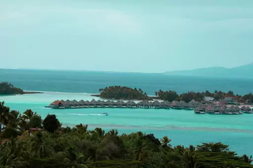
Oceania is home to some of the most photographed luxury islands anywhere, built around clear lagoons, private resorts and a level of remoteness that is often the whole point.…
Read more
Discover
Top luxury island resort destinations in South America
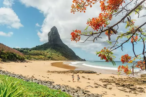
South America's luxury islands look a little different from the classic overwater bungalow image, built more around conservation and scarcity than resort scale. Fernando de…
Read more

Discover
Top island destinations and tropical getaways
Island travel offers a self-contained quality that few other destination types match, with defined geography, distinct local culture and the particular atmosphere that comes from…
Read more
What other users say about travelfilters
“travelfilters made it easy for me to find ski areas and compare what else they offer, so that I could find the best place for my personal travel style.”

Chris
Snowboarding & Onsen trip to Japan
“I love how transparent the data feels. There is no pushy upsell, just honest information and settings I can tune to my own travel style.”

Maria
After booking her 2027 winter escape
“The level of detail for each destination and how well those are displayed, make planning feel confident instead of overwhelming.”

Mina
Planned a week in New York City
“We used travelfilters for our planning from start to end. The trip turned out even better than expected, thanks to all their tools and customisation options.”

Allan & Etienne
Trip to Japan to see autumn foliage
“Thanks to travelfilters, I found some hidden gems to see. Being able to filter for exactly your interests is a game changer for my travel planning.”

Michael
Tour through the old cities of Northern Italy
“The customizable filters helped me find a quiet beach town with good wifi and low season crowds in under five minutes.”

Diego
Weekend Escape to Llanes, Spain
“The airport connection map saved me hours by showing good flight options from my home airport to lesser-known cities.”

Nguyen
Planning a 2027 trip to France
“The website is clean, fast and focused on the search itself, which makes travelfilters feel more like a professional tool than an ad-heavy booking site.”

Hassan
Christmas Market trip, Germany
