



Was this page helpful?

| Opening hours: |
|
|---|
| Power Grid: |
220 V, 50 Hz Plug: Type C , Type L
Type C:
  Read about power adapters |
|---|---|
| Currency: |
Chilean Peso (CLP) £1 ≈ CLP 1,306 |
| Cashless info: |
Rating 5/5
Cashless payments are widely accepted in Chile, particularly in cities and tourist areas. Credit and debit cards are commonly used.
Save with a travel credit card |
| eSIM providers: |
Best value: Saily Flexibility: Airalo Read our in-depth comparison |
| Tipping: | Tipping is appreciated in Chile but not mandatory. A 10% tip is typical in restaurants. Taxi drivers and hotel staff also appreciate small tips for good service. |
|---|---|
| Public drinking: | Public drinking is generally allowed in designated areas, but it is illegal to drink alcohol on the streets in some cities. It is best to consume alcohol in licensed venues. |
| Public smoking: | Smoking is prohibited in indoor public spaces, including restaurants, bars, and public transport. |
| Fiestas Patrias (18–19 September) |
National holiday celebrating Chile's independence with parades and festivities |
|---|---|
| Christmas (25 December) |
Celebrated with family gatherings and festive meals |
| Emergency contact: | Emergency Numbers: 133 (Police), 131 (Ambulance), 132 (Fire) |
|---|---|
| Taxi apps: | Uber, Cabify |
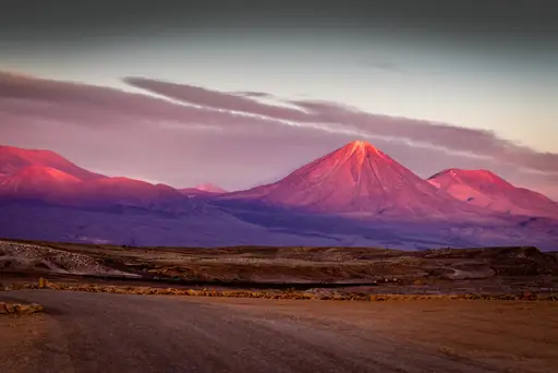
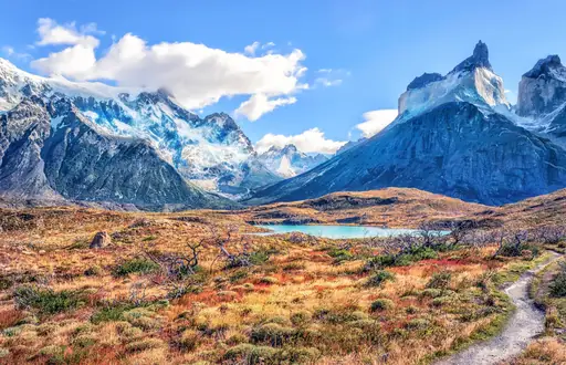
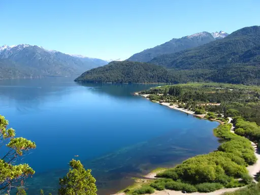
| Other: | Chile is famous for its natural beauty, including the Andes mountains, Atacama Desert, and Patagonia. It is a top destination for adventure tourism and outdoor activities. |
The best times to travel section shows how the months compare for a visit, so you can find the time of year that fits what you want to do.
Background colours of the months:
The colour shows the typical temperature: yellow (hot), green (mild) and blue (cold). How strong the colour is shows the travel season: full colour means high season, soft colour means shoulder season and soft-striped means off season.
Weather symbols:
Each month has one symbol showing what the weather is typically like, such as hot and sunny, freezing or a rainy or snowy season. Use them to quickly spot months that match the weather you want, or to avoid the ones that don't.
Crowdedness:
The people icon shows how busy the place usually is. The more people, the more crowded it gets.
Additional notes:
The grey info boxes point out special things worth knowing, like recurring weather issues or seasonal events.
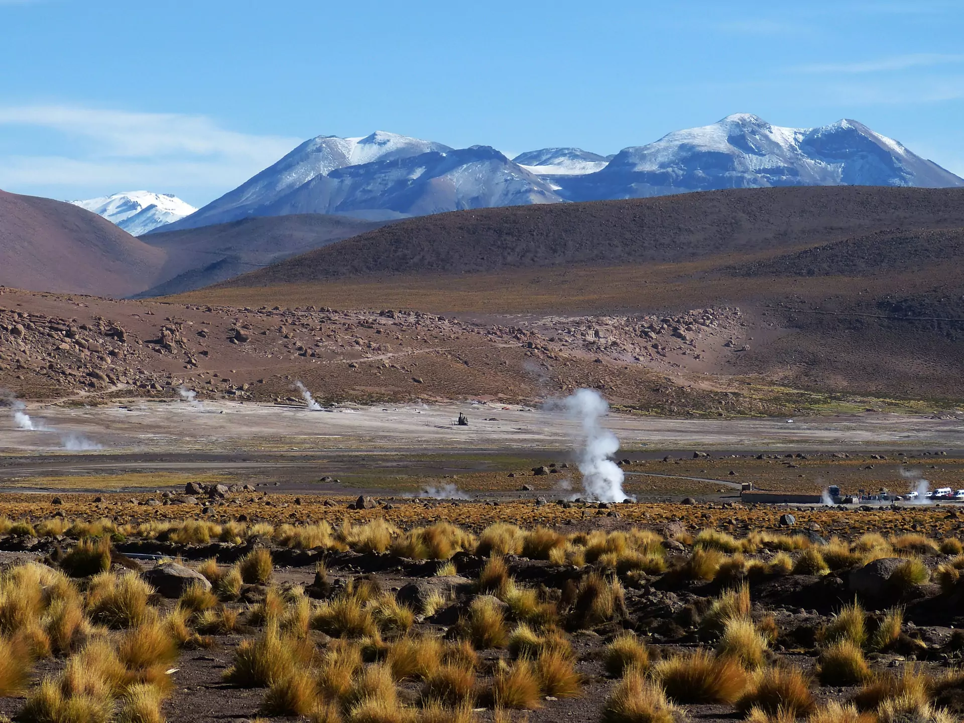
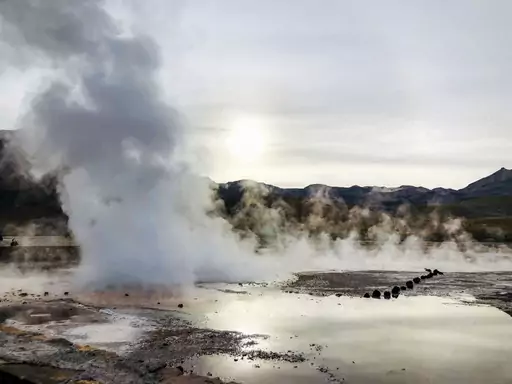
El Tatio is a remote geothermal field located high in the Andes Mountains of northern Chile. The area sits above 4,000 meters elevation making it one of the highest places with hot springs on Earth. Visitors encounter steaming pools surrounded by rugged volcanic terrain and bright blue skies. The landscape feels otherworldly due to its stark beauty and quiet atmosphere.
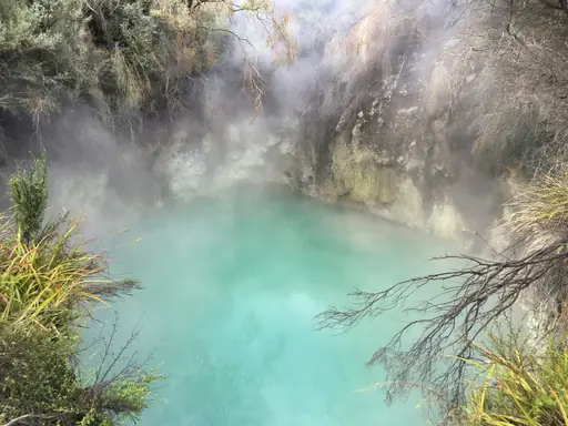
The hot springs themselves are formed by natural geothermal activity. Water heated deep underground rises through cracks creating bubbling pools that range in temperature. Some areas have wooden decks for soaking while others remain open to the sky. The steam rising from these pools creates a misty veil especially early in the morning. Local minerals give the water a distinct color and scent adding to the sensory experience.
A small number of lodges operate near El Tatio providing basic accommodation and meals. Most travelers arrive via guided tours that include transport from San Pedro de Atacama which is about two hours away by road. The journey itself reveals salt flats and cactus-covered hills adding to the sense of isolation. It is important to bring warm clothing at night as temperatures drop sharply despite daytime warmth.
The region holds cultural significance for indigenous communities who have used these springs for centuries. Traditional beliefs connect the geothermal waters with healing properties. Modern visitors often come seeking relaxation but also enjoy learning about local history and geology. Respecting the environment means keeping noise low avoiding litter and staying on marked paths to protect fragile ecosystems.
Accessing El Tatio Hot Springs requires traveling to the Antofagasta Region in northern Chile, near the border with Bolivia. The nearest major city is Calama, approximately 106 kilometers away, which serves as a common starting point for visitors. Roads leading to the area are paved and well-maintained, though high-altitude conditions may affect travel times during certain seasons. Public transportation options include buses from Calama or Antofagasta, while private vehicles offer greater flexibility due to remote terrain. The hot springs sit at an elevation of around 4,320 meters above sea level, necessitating acclimatization for some travelers. Roads can be challenging in winter months due to snowfall, so checking local conditions is advisable before departure.
Near the El Tatio geyser field, lodging ranges from rustic eco‑lodges to modest hostels and a handful of boutique cabins that blend into the Andean landscape. Most accommodations are family‑run, offering basic amenities such as shared kitchens, Wi‑Fi and communal lounges, with prices typically between US$30 – 70 (£22.55 – 52.61) per night depending on season and room type. The area is renowned for its “cabañas de madera” (wooden cabins) that provide panoramic views of the geysers at sunrise, while budget travelers often stay in nearby hostels in San Pedro de Atacama, a 45‑minute drive away. For those seeking comfort without luxury, several agritourism farms offer rustic rooms with local cuisine and guided tours of the geothermal area.
Log in to add this place to a travel list and get a summary of all recommended items for your whole trip.
We calculate the average costs when travelling to destinations and compare those with the living costs at your home. With this you can get an estimate of how expensive or cheap the destination is for you.
To customise this, you can set up which location and price level are used for the calculations in your account settings.
The exchange rate price factor shows how expensive or cheap a currency currently is compared to its historical average. It's a quick way to see if a country is currently more or less affordable due to exchange rate changes.
