




Was this page helpful?

| Power Grid: |
230 V, 50 Hz Plug: Type C , Type E
Type C:
  Read about power adapters |
|---|---|
| Currency: |
Euro (EUR) £1 ≈ €1.19 |
| Cashless info: |
Rating 5/5
Cashless payments are widely accepted, especially in cities and tourist areas.
Save with a travel credit card |
| eSIM providers: |
Best value: Saily Flexibility: Airalo Read our in-depth comparison |
| Tipping: | Tipping is optional but appreciated in restaurants (5-10%) and for exceptional service. |
|---|---|
| Public drinking: | Public drinking is allowed in designated areas, but restrictions apply in some cities. |
| Public smoking: | Smoking is banned in indoor public spaces but common in outdoor cafes. |
| Bastille Day (July) |
Parades and fireworks occur nationwide. |
|---|---|
| Easter (March/April) |
Cultural celebrations and closures. |
| Christmas (December) |
Markets and festive events. |
| Emergency contact: | Emergency Numbers: 112 (EU emergency), 15 (Ambulance), 17 (Police), 18 (Fire) |
|---|---|
| Taxi apps: | Uber, Bolt, Heetch |
| Other: | France offers diverse experiences, from art and culture to nature and cuisine. Be cautious in crowded areas. |
The best times to travel section shows how the months compare for a visit, so you can find the time of year that fits what you want to do.
Background colours of the months:
The colour shows the typical temperature: yellow (hot), green (mild) and blue (cold). How strong the colour is shows the travel season: full colour means high season, soft colour means shoulder season and soft-striped means off season.
Weather symbols:
Each month has one symbol showing what the weather is typically like, such as hot and sunny, freezing or a rainy or snowy season. Use them to quickly spot months that match the weather you want, or to avoid the ones that don't.
Crowdedness:
The people icon shows how busy the place usually is. The more people, the more crowded it gets.
Additional notes:
The grey info boxes point out special things worth knowing, like recurring weather issues or seasonal events.
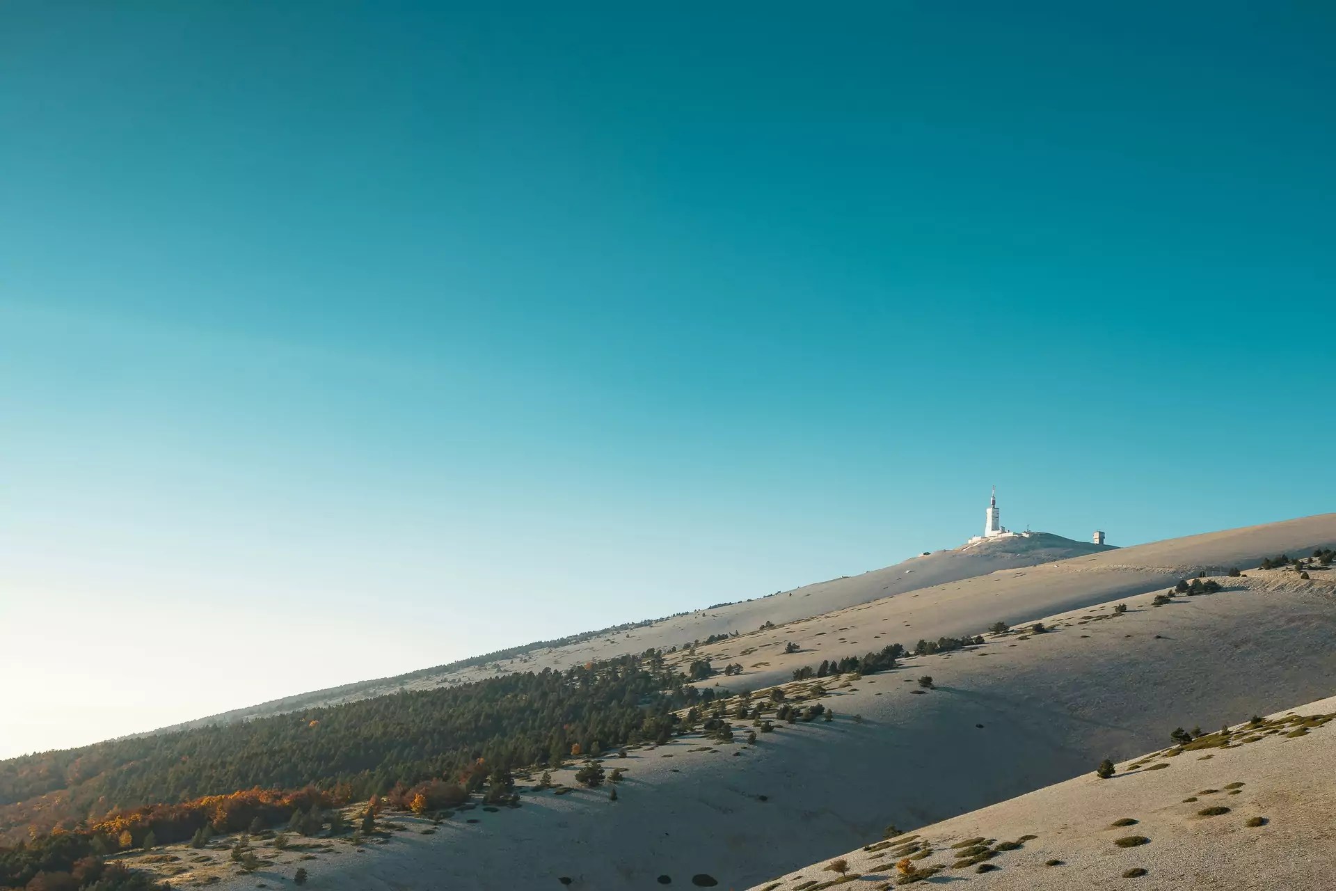
Mont Ventoux stands as a prominent mountain in southeastern France. Its rocky peak rises to 1,909 meters above sea level. The area attracts hikers and cyclists due to its challenging trails and panoramic views. The landscape features limestone slopes covered with hardy shrubs and occasional pine trees. Weather patterns shift quickly here with strong winds often sweeping across the summit.
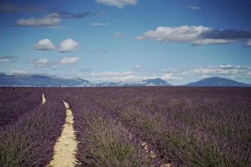
The mountain lies within a region known for agriculture especially lavender fields that bloom each summer. Local villages like Sault provide base camps for visitors seeking overnight stays. Trails start from multiple points including the town of L’Isle-sur-la-Sorgue where maps and guides are available. Early morning hikes reveal mist clinging to valleys while afternoons bring clear skies ideal for photography.
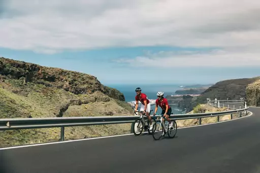
Cycling enthusiasts recognize Mont Ventoux as a legendary climb in professional races. The ascent tests endurance with steep sections that demand steady pacing. Descending requires focus due to narrow paths and uneven rocks. Many riders choose routes along the Durance River valley for varied scenery before tackling the mountain’s slopes.
Wildlife includes chamois goats adapted to rocky terrain and birds of prey circling above cliffs. Seasonal changes affect trail conditions with snow lingering into late spring at higher elevations. Visitors should check local forecasts as fog can reduce visibility suddenly. Respecting nature means carrying out waste and staying on marked paths to protect fragile ecosystems.
Mont Ventoux, located in Provence-Alpes-Côte d’Azur, France, is accessible primarily by road. The nearest major town is Manosque, approximately 40 kilometers to the west, connected via Route D900 and D99. Public transport includes regional buses operated by Lignes d’Azur, with connections through Nice or Avignon. For faster access, travelers may drive along the A51 motorway toward Grasse before taking D90 toward Ventoux. The mountain’s remote location encourages car travel for flexibility, though seasonal road closures can occur in winter due to snow. Cyclists and hikers often approach via trails from nearby villages like Sault or Grillon. Parking is available at designated viewpoints such as Col de la Croix du Ventoux.
In the Mont Ventoux region, lodging ranges from rustic farm stays to upscale boutique inns, catering to hikers and luxury seekers alike. Rural gîtes offer charming, budget‑friendly rooms with local décor, often featuring homemade meals and easy access to trailheads. Mid‑range hotels in nearby towns such as Bédoin or Sault provide comfortable amenities – heated pools, spa services and panoramic mountain views – while still keeping prices moderate. For those desiring a premium experience, the area hosts a handful of luxury resorts that blend alpine architecture with modern comforts, offering guided ascents, gourmet dining and wellness treatments. Many accommodations emphasize sustainability, using renewable energy and locally sourced products to preserve the natural beauty surrounding Mont Ventoux.
Log in to add this place to a travel list and get a summary of all recommended items for your whole trip.
We calculate the average costs when travelling to destinations and compare those with the living costs at your home. With this you can get an estimate of how expensive or cheap the destination is for you.
To customise this, you can set up which location and price level are used for the calculations in your account settings.
The exchange rate price factor shows how expensive or cheap a currency currently is compared to its historical average. It's a quick way to see if a country is currently more or less affordable due to exchange rate changes.
